Chart, Little
Settlement in Kent Ashford
England
Chart, Little

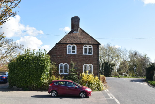
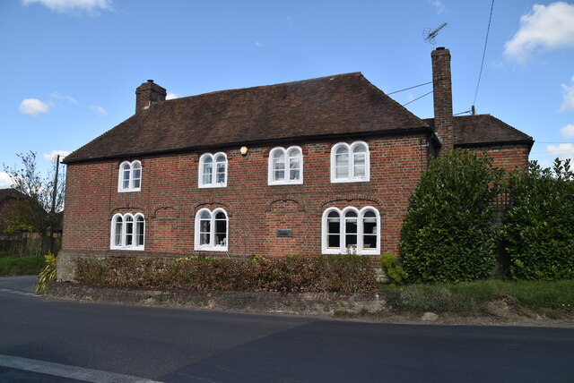
Chart, Little, Kent is a charming village located in the county of Kent, England. Situated in the picturesque countryside, the village is known for its idyllic setting and traditional English charm. With a population of around 500 residents, it offers a peaceful and close-knit community.
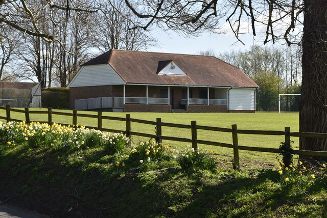
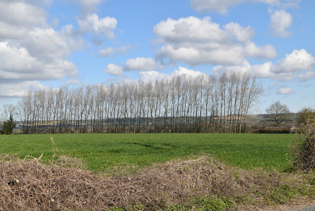
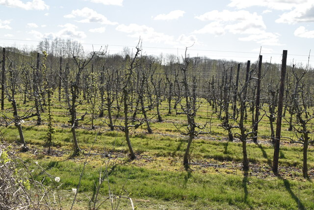
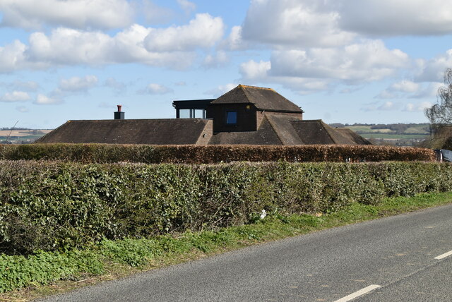
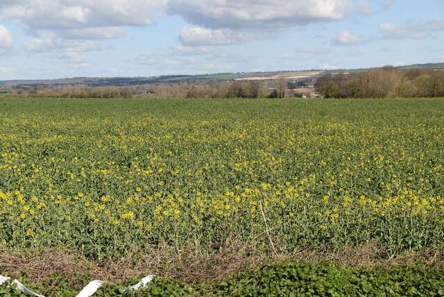
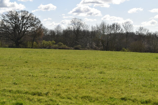
The village is famous for its stunning natural beauty, surrounded by lush green fields, rolling hills, and enchanting woodlands. The landscape is ideal for nature lovers and outdoor enthusiasts, providing ample opportunities for hiking, cycling, and exploring the countryside.
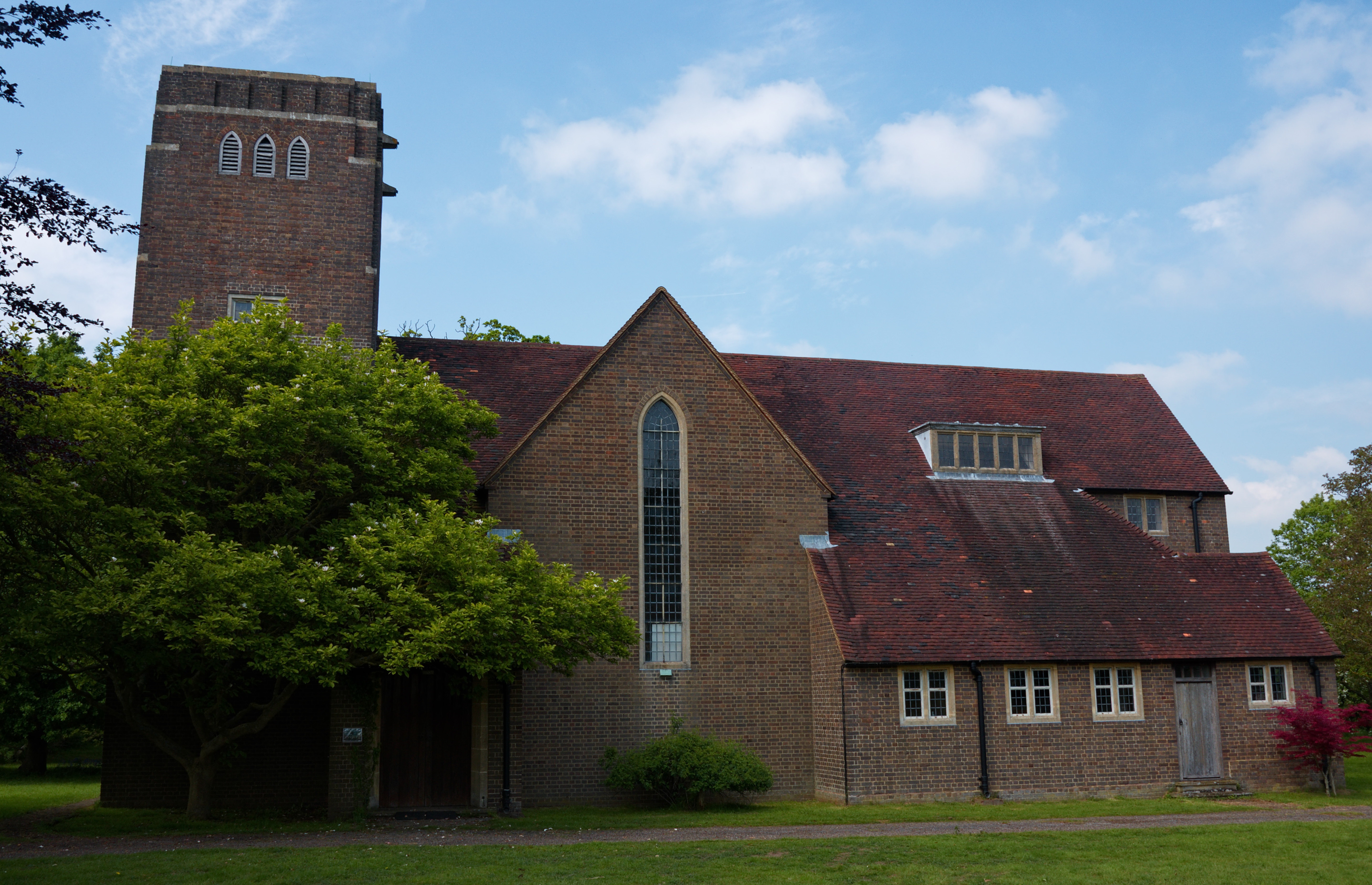
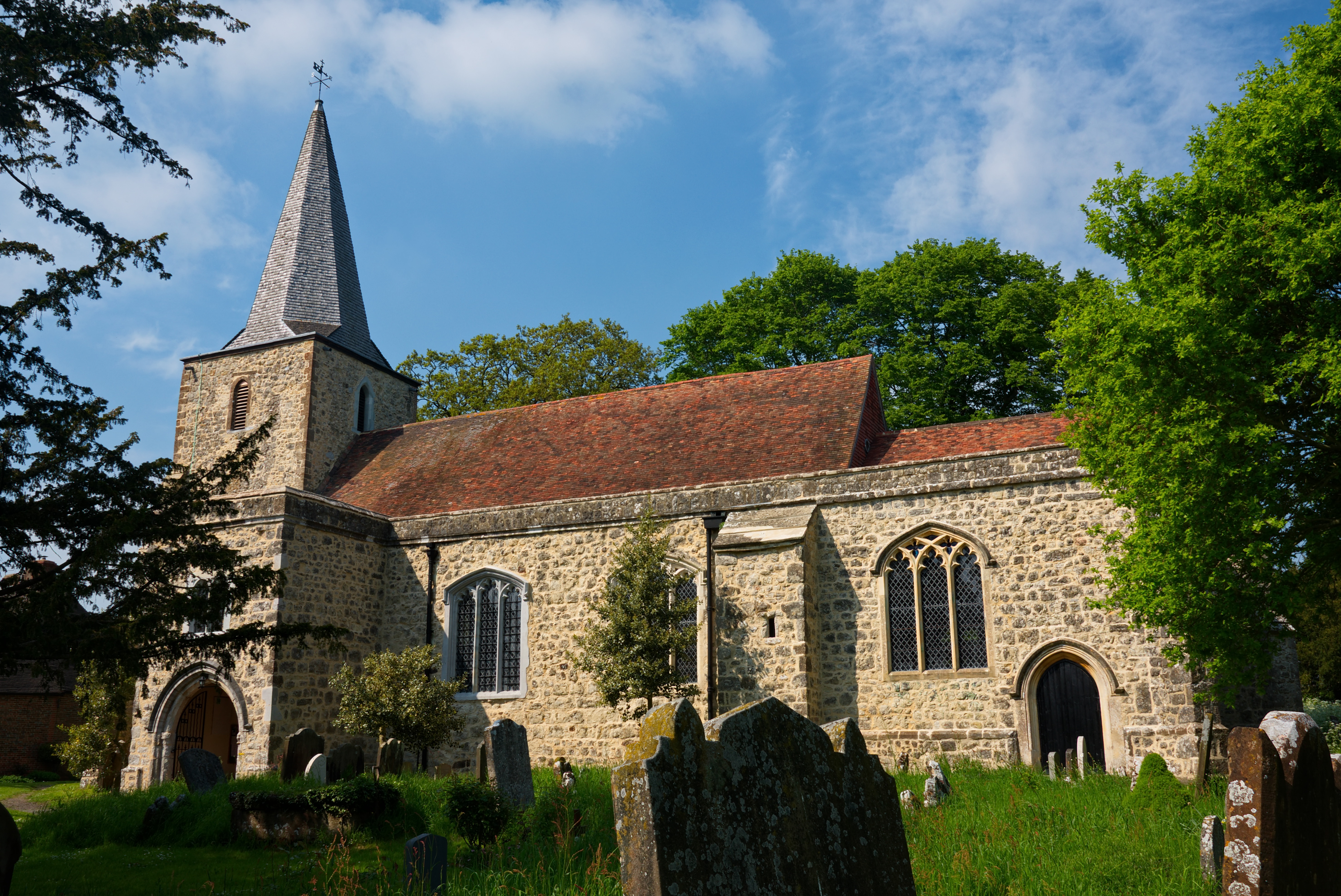
One of the notable landmarks in Chart, Little is the All Saints Church, a beautiful medieval church dating back to the 13th century. This historic building features exquisite architecture, including a striking bell tower and intricate stained glass windows.
The village also boasts a small but thriving local economy, with a handful of shops, pubs, and restaurants serving the community. The local businesses offer a range of goods and services, catering to the needs of residents and visitors alike.
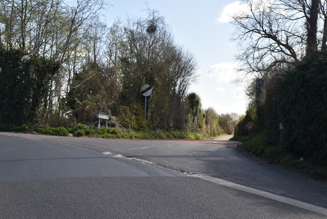
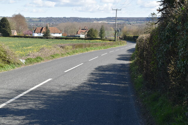
Chart, Little is well-connected to nearby towns and cities, making it easily accessible for commuters and tourists. The village is situated close to major road networks, allowing convenient travel to destinations such as Ashford, Maidstone, and Canterbury.
Overall, Chart, Little, Kent is a delightful village that offers a peaceful retreat from the hustle and bustle of city life. Its natural beauty, historic landmarks, and tight-knit community make it a truly special place to visit or call home.
If you have any feedback on the listing, please let us know in the comments section below.
Chart, Little Images
Images are sourced within 2km of 51.18093/0.779255 or Grid Reference TQ9446. Thanks to Geograph Open Source API. All images are credited.


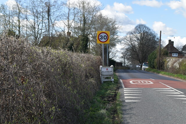
![Village sign, Pluckley King George VI recommended that the old custom of identifying villages with carved or painted name signs could be revived. In 1920, Biddenden had won a Daily Mail competition for a sign featuring the two Biddenden Maids.
More villages followed, especially in 1953, the Coronation of Queen Elizabeth II. More signs have been put up due to the Millennium. This has meant half of the county villages are identified.]
See also <a title="https://www.geograph.org.uk/article/Kent-Village-Signs" href="https://www.geograph.org.uk/article/Kent-Village-Signs">Link</a> , an article on Kent Village Signs](https://s2.geograph.org.uk/geophotos/06/96/09/6960930_24d02c9f.jpg)
![Village sign, Pluckley King George VI recommended that the old custom of identifying villages with carved or painted name signs could be revived. In 1920, Biddenden had won a Daily Mail competition for a sign featuring the two Biddenden Maids.
More villages followed, especially in 1953, the Coronation of Queen Elizabeth II. More signs have been put up due to the Millennium. This has meant half of the county villages are identified.]
See also <a title="https://www.geograph.org.uk/article/Kent-Village-Signs" href="https://www.geograph.org.uk/article/Kent-Village-Signs">Link</a> , an article on Kent Village Signs](https://s0.geograph.org.uk/geophotos/06/96/09/6960932_1ec72963.jpg)
Chart, Little is located at Grid Ref: TQ9446 (Lat: 51.18093, Lng: 0.779255)
Administrative County: Kent
District: Ashford
Police Authority: Kent
What 3 Words
///bins.sandpaper.bluffing. Near Charing, Kent
Nearby Locations
Related Wikis
Little Chart
Little Chart is a village and civil parish, situated 4 miles (6.4 km) north-west of Ashford in Kent, South East England. The parish lies south of the M20...
Pluckley
Pluckley is a village and civil parish in the Ashford district of Kent, England. The civil parish includes the adjacent hamlet of Pluckley Thorne. �...

Smarden
Smarden is a civil parish and village, west of Ashford in Kent, South East England. The village has the Anglican parish church of St Michael the Archangel...

Westwell Leacon
Westwell Leacon is a hamlet in the civil parish of Charing near Ashford in Kent, England. Its most famous resident is international Cyclocross star Ian...

Hothfield Common
Hothfield Common is a 56.5-hectare (140-acre) biological Site of Special Scientific Interest north-east of Ashford in Kent. It is also a Local Nature...

Hothfield
Hothfield is a village and civil parish in the Ashford Borough of Kent, England and is 3 miles north-west of Ashford on the A20. It is completely split...
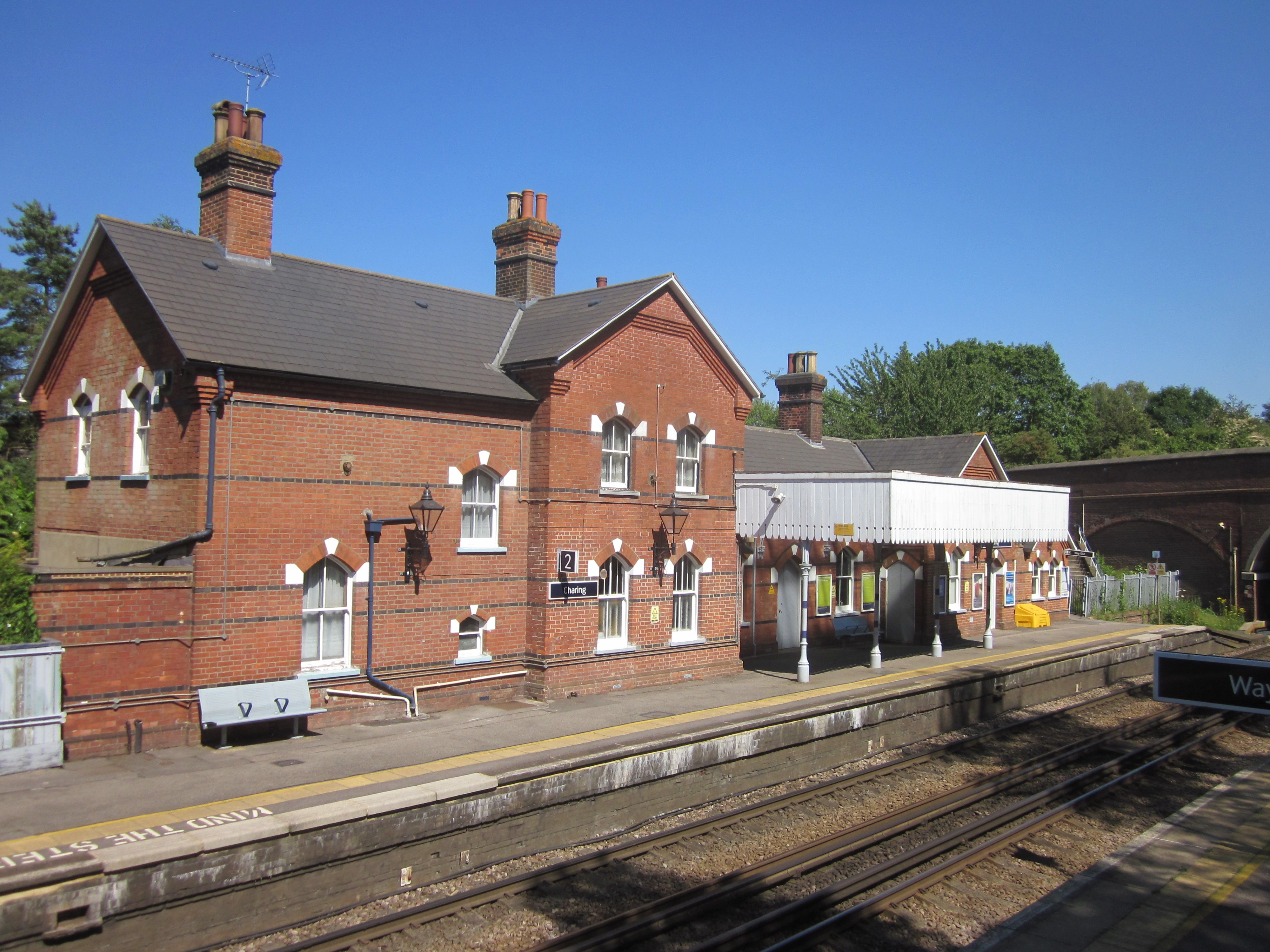
Charing railway station
Charing railway station serves the village of Charing in Kent, England. It is 53 miles 11 chains (85.5 km) down the line from London Victoria. The station...
Charing
Charing is a village and civil parish in the Ashford District of Kent, in south-east England. It includes the settlements of Charing Heath and Westwell...
Nearby Amenities
Located within 500m of 51.18093,0.779255Have you been to Chart, Little?
Leave your review of Chart, Little below (or comments, questions and feedback).