Little Chart
Settlement in Kent Ashford
England
Little Chart

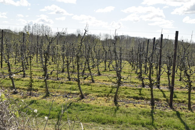
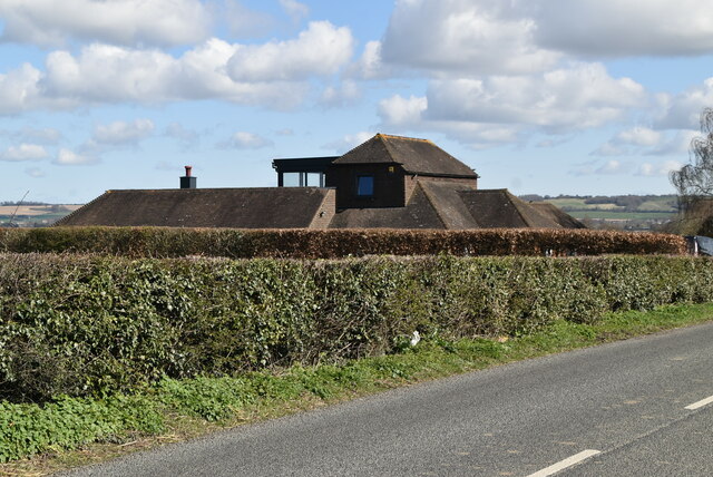
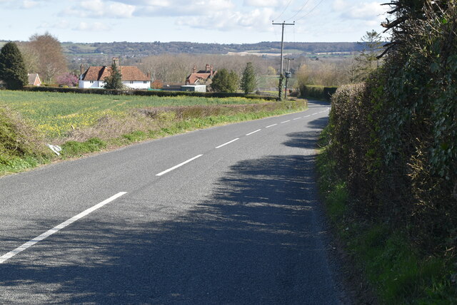
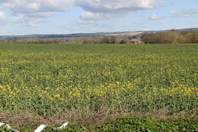
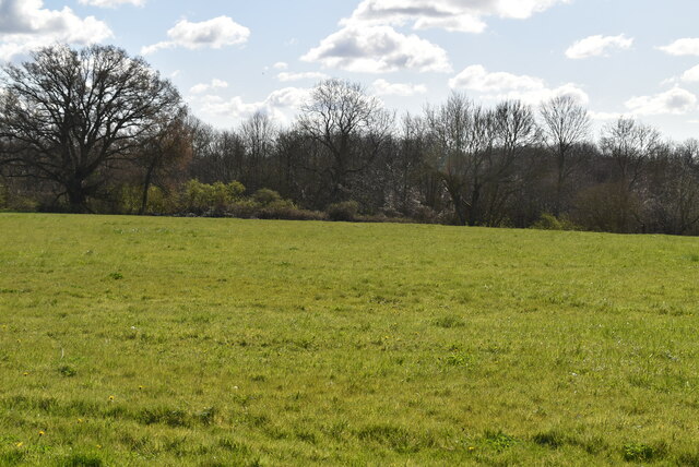
Little Chart is a small village located in the county of Kent, in southeastern England. Situated approximately 8 miles southwest of the town of Ashford, it is part of the Ashford district. The village is nestled in the picturesque Kent countryside, surrounded by fields, woodlands, and rolling hills.
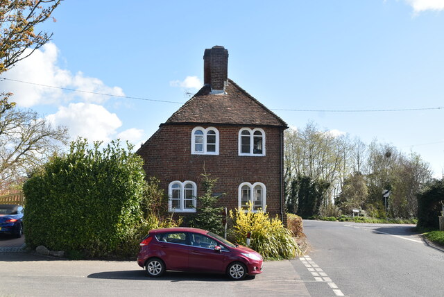
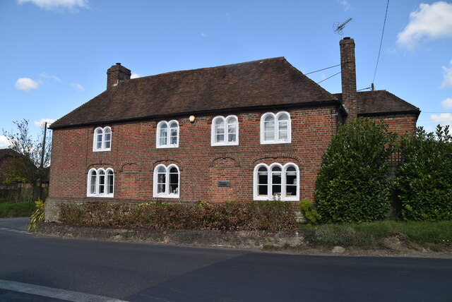
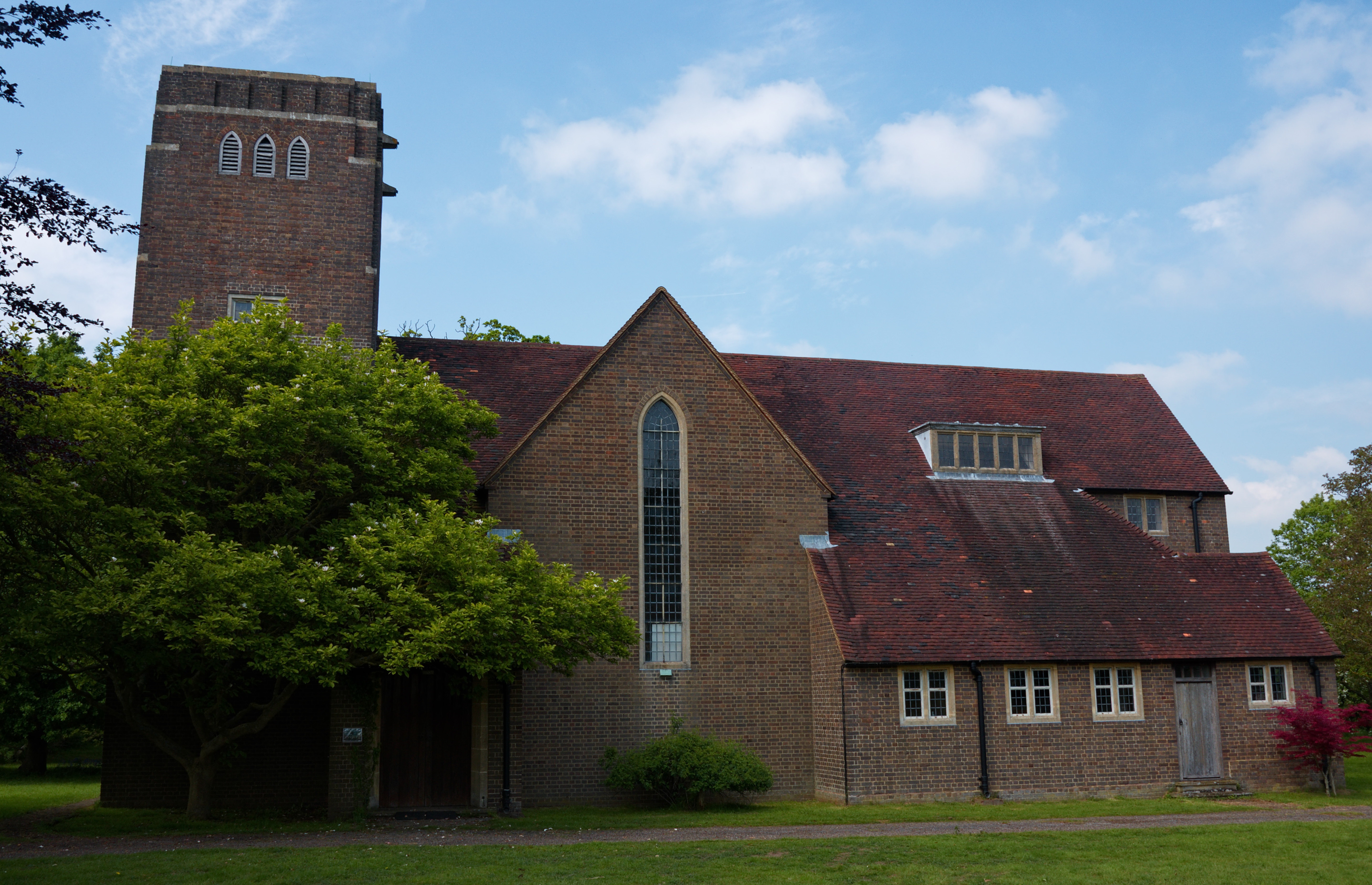
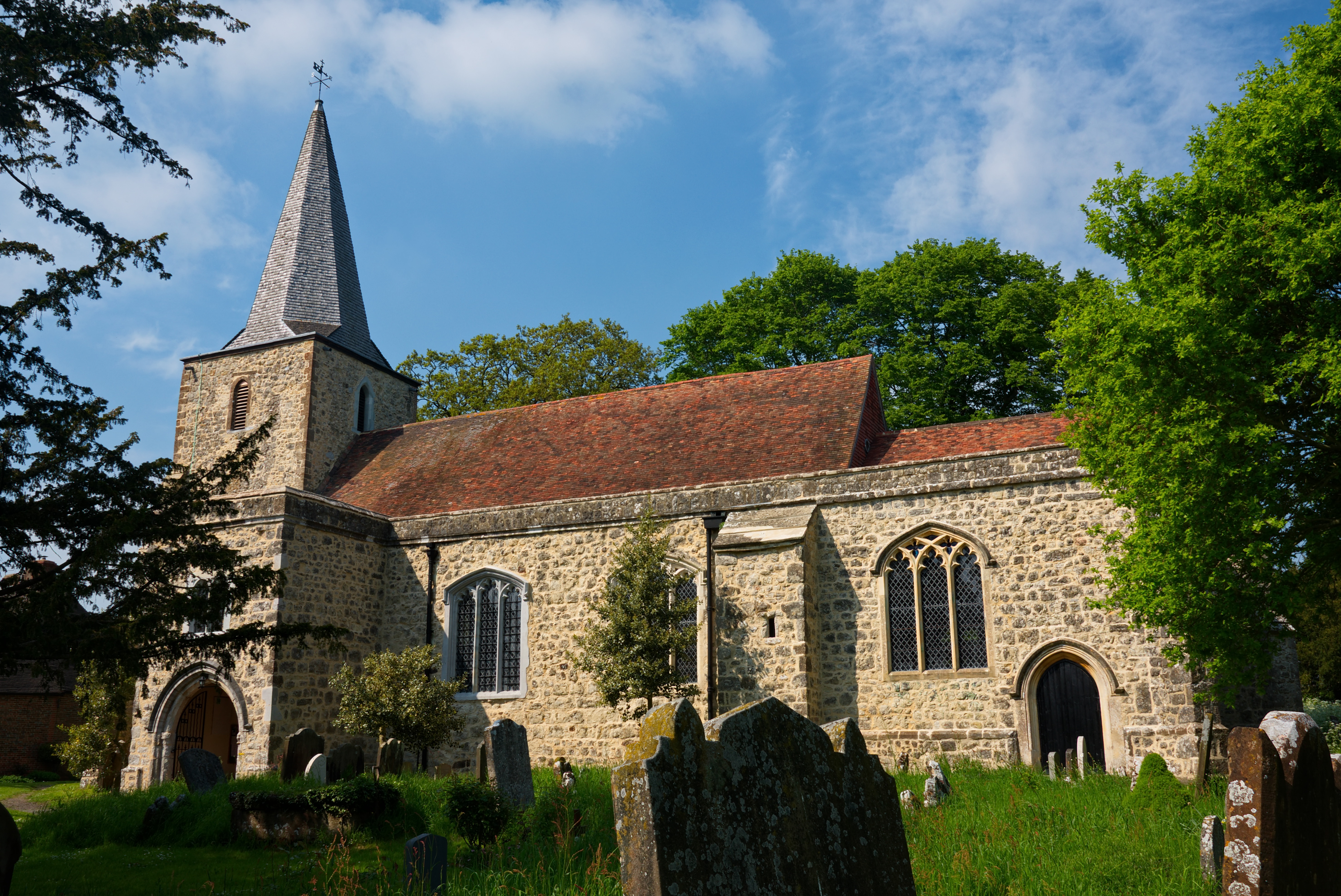
Characterized by its peaceful and rural setting, Little Chart exudes a charming and quaint atmosphere. The village is known for its traditional and well-preserved architecture, with many beautiful old cottages and farmhouses dotting its streets. The centerpiece of the village is the historic parish church, St. Mary's, which dates back to the medieval period and boasts an impressive bell tower.
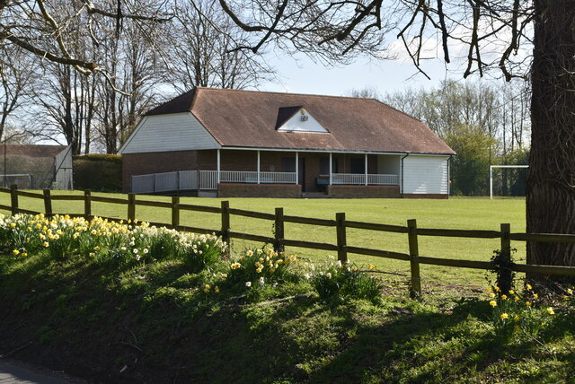
Despite its small size, Little Chart offers a range of amenities for its residents and visitors. The village is home to a local pub, The Swan Inn, which serves as a popular gathering spot for locals and a welcoming stop for tourists exploring the area. Additionally, the village has a village hall, providing a space for community events and activities.
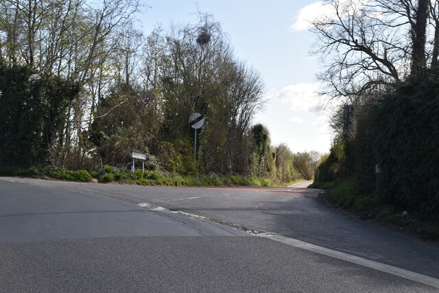
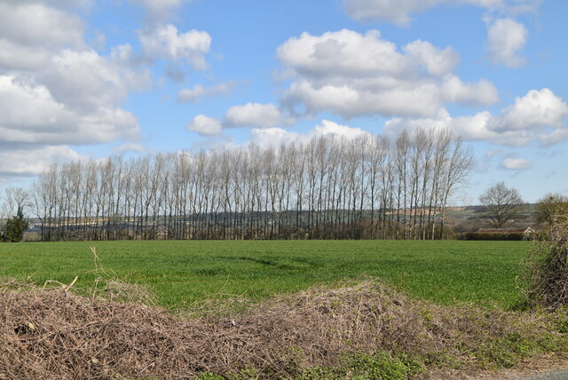
Being surrounded by the picturesque Kent countryside, Little Chart offers plenty of opportunities for outdoor activities and exploration. The area is crisscrossed by footpaths and bridleways, inviting walkers and cyclists to enjoy the stunning scenery and discover hidden gems. The nearby Eastwell Park provides a serene setting for leisurely walks and picnics.
Overall, Little Chart offers a serene and idyllic escape from the hustle and bustle of city life, making it an attractive destination for those seeking tranquility and a taste of traditional English village life.
If you have any feedback on the listing, please let us know in the comments section below.
Little Chart Images
Images are sourced within 2km of 51.18093/0.779255 or Grid Reference TQ9446. Thanks to Geograph Open Source API. All images are credited.


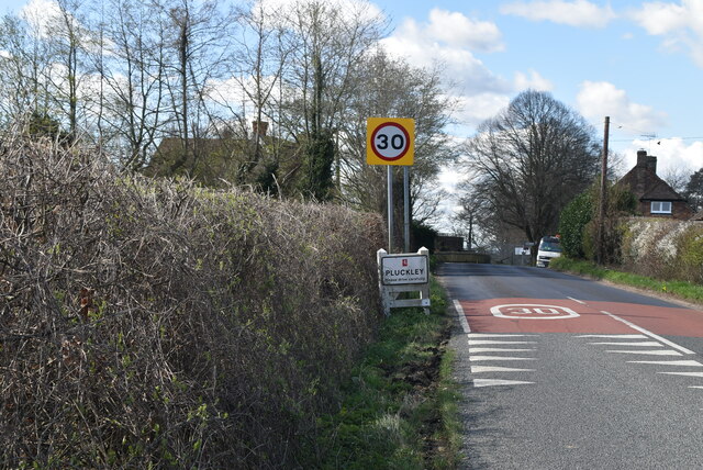
![Village sign, Pluckley King George VI recommended that the old custom of identifying villages with carved or painted name signs could be revived. In 1920, Biddenden had won a Daily Mail competition for a sign featuring the two Biddenden Maids.
More villages followed, especially in 1953, the Coronation of Queen Elizabeth II. More signs have been put up due to the Millennium. This has meant half of the county villages are identified.]
See also <a title="https://www.geograph.org.uk/article/Kent-Village-Signs" href="https://www.geograph.org.uk/article/Kent-Village-Signs">Link</a> , an article on Kent Village Signs](https://s2.geograph.org.uk/geophotos/06/96/09/6960930_24d02c9f.jpg)
![Village sign, Pluckley King George VI recommended that the old custom of identifying villages with carved or painted name signs could be revived. In 1920, Biddenden had won a Daily Mail competition for a sign featuring the two Biddenden Maids.
More villages followed, especially in 1953, the Coronation of Queen Elizabeth II. More signs have been put up due to the Millennium. This has meant half of the county villages are identified.]
See also <a title="https://www.geograph.org.uk/article/Kent-Village-Signs" href="https://www.geograph.org.uk/article/Kent-Village-Signs">Link</a> , an article on Kent Village Signs](https://s0.geograph.org.uk/geophotos/06/96/09/6960932_1ec72963.jpg)
Little Chart is located at Grid Ref: TQ9446 (Lat: 51.18093, Lng: 0.779255)
Administrative County: Kent
District: Ashford
Police Authority: Kent
What 3 Words
///bins.sandpaper.bluffing. Near Charing, Kent
Nearby Locations
Related Wikis
Little Chart
Little Chart is a village and civil parish, situated 4 miles (6.4 km) north-west of Ashford in Kent, South East England. The parish lies south of the M20...
Pluckley
Pluckley is a village and civil parish in the Ashford district of Kent, England. The civil parish includes the adjacent hamlet of Pluckley Thorne. �...

Smarden
Smarden is a civil parish and village, west of Ashford in Kent, South East England. The village has the Anglican parish church of St Michael the Archangel...

Westwell Leacon
Westwell Leacon is a hamlet in the civil parish of Charing near Ashford in Kent, England. Its most famous resident is international Cyclocross star Ian...

Hothfield Common
Hothfield Common is a 56.5-hectare (140-acre) biological Site of Special Scientific Interest north-east of Ashford in Kent. It is also a Local Nature...

Hothfield
Hothfield is a village and civil parish in the Ashford Borough of Kent, England and is 3 miles north-west of Ashford on the A20. It is completely split...
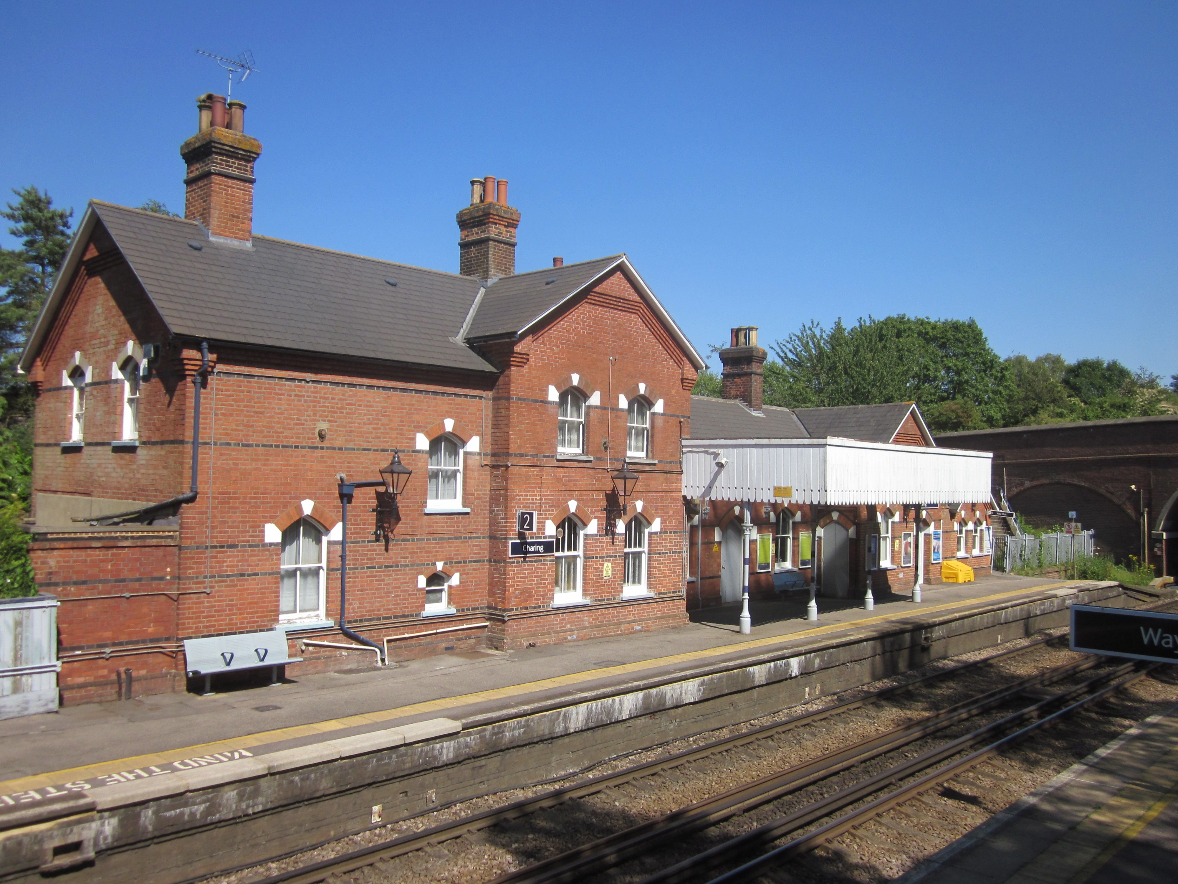
Charing railway station
Charing railway station serves the village of Charing in Kent, England. It is 53 miles 11 chains (85.5 km) down the line from London Victoria. The station...
Charing
Charing is a village and civil parish in the Ashford District of Kent, in south-east England. It includes the settlements of Charing Heath and Westwell...
Nearby Amenities
Located within 500m of 51.18093,0.779255Have you been to Little Chart?
Leave your review of Little Chart below (or comments, questions and feedback).