Creaking Gate Plantation
Wood, Forest in Norfolk Breckland
England
Creaking Gate Plantation

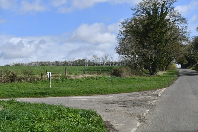
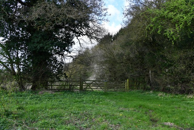
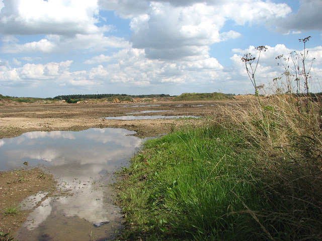
Creaking Gate Plantation is a picturesque woodland located in Norfolk, England. Nestled amidst the rolling countryside, this enchanting forest covers an area of approximately 200 acres, making it a significant natural haven within the region. The plantation derives its name from the old iron gate at its entrance, which emits a distinctive creaking sound when opened or closed, adding to the rustic charm of the location.
The woodland is predominantly composed of native broadleaf trees, such as oak, beech, and ash, which create a rich and diverse ecosystem. These tall and majestic trees provide shelter and nesting grounds for a wide variety of bird species, including woodpeckers, owls, and thrushes. The forest floor is adorned with a carpet of wildflowers, ferns, and mosses, further enhancing its natural beauty.
Several well-maintained walking trails wind their way through Creaking Gate Plantation, allowing visitors to explore the woodland at their leisure. The paths meander past babbling brooks, small ponds, and secluded clearings, providing peaceful spots for relaxation or picnics. The plantation is also home to a diverse range of wildlife, including deer, foxes, rabbits, and squirrels, making it a popular spot for nature enthusiasts and photographers.
Creaking Gate Plantation is open to the public throughout the year, with ample parking and visitor facilities available. Its tranquil ambiance and stunning natural scenery make it an ideal destination for those seeking a serene escape from the hustle and bustle of everyday life.
If you have any feedback on the listing, please let us know in the comments section below.
Creaking Gate Plantation Images
Images are sourced within 2km of 52.712798/0.87379443 or Grid Reference TF9416. Thanks to Geograph Open Source API. All images are credited.


Creaking Gate Plantation is located at Grid Ref: TF9416 (Lat: 52.712798, Lng: 0.87379443)
Administrative County: Norfolk
District: Breckland
Police Authority: Norfolk
What 3 Words
///charted.dozens.smiled. Near East Dereham, Norfolk
Nearby Locations
Related Wikis
Longham
Longham is a village situated in the Breckland District of Norfolk and covers an area of 540 hectares (2.1 square miles) with a population of 219 in 100...
Bittering, Norfolk
Bittering is a hamlet in the county of Norfolk, England, now in the civil parish of Beeston with Bittering. It lies west of East Dereham and south of Fakenham...
Beeston with Bittering
Beeston with Bittering is a civil parish in the Breckland district of Norfolk, England. According to the 2001 census it had a population of 505, increasing...

Gressenhall
Gressenhall is a village and civil parish in the English county of Norfolk. The villages name origin is uncertain possibly 'Grassy nook of land' or 'gravelly...
Nearby Amenities
Located within 500m of 52.712798,0.87379443Have you been to Creaking Gate Plantation?
Leave your review of Creaking Gate Plantation below (or comments, questions and feedback).