Merton Wood

Wood, Forest in Norfolk Breckland

England

Merton Wood

Tottington Road Tottington Road looking west near to Thompson, Norfolk.
Tottington Road Credit: Claire Evans

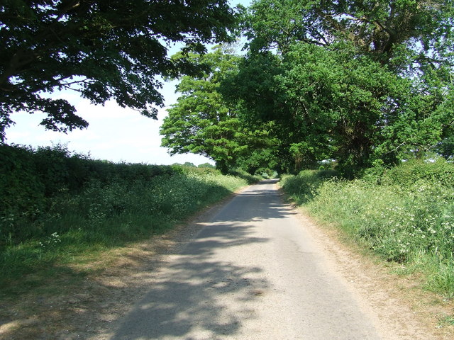
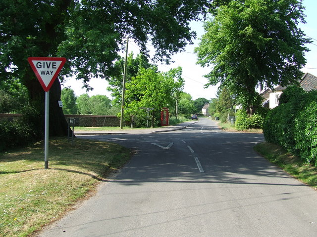
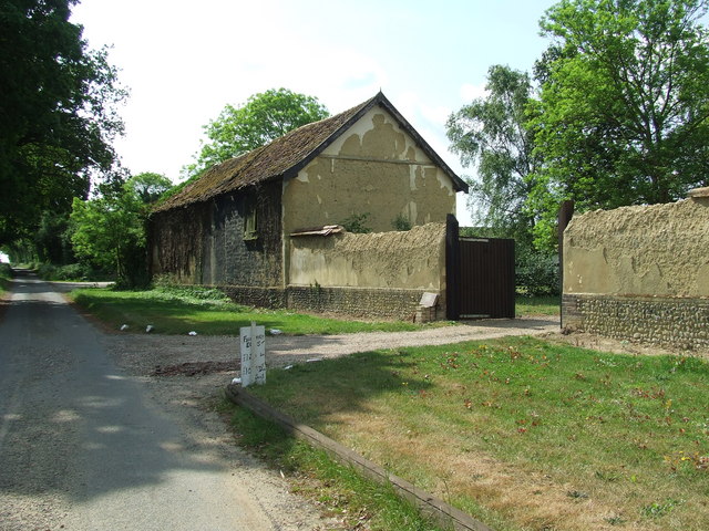
Merton Wood, located in the county of Norfolk, England, is a scenic woodland area renowned for its natural beauty and diverse flora and fauna. Covering an expansive area, this enchanting forest provides a peaceful retreat for nature enthusiasts and outdoor adventurers alike.

The woods are predominantly composed of broadleaf trees, including oak, beech, and birch, creating a rich tapestry of colors throughout the seasons. The thick canopy allows only dappled sunlight to filter through, adding to the ethereal ambiance of the woodland. The forest floor is carpeted with a variety of wildflowers, ferns, and mosses, providing a haven for small animals and insects.

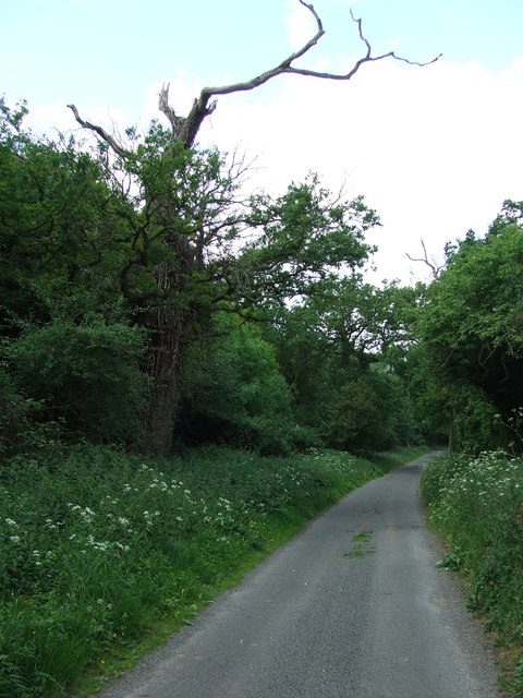
Tranquil streams meander through Merton Wood, creating picturesque scenes and providing a source of water for the local wildlife. The sound of babbling brooks and the rustling of leaves underfoot create a soothing soundtrack for visitors exploring the area.

The woodland is home to a diverse range of wildlife, including deer, foxes, rabbits, and a multitude of bird species. Birdwatchers can delight in spotting woodpeckers, owls, and various migratory birds throughout the year.

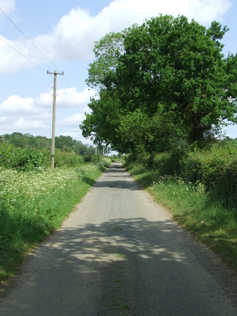
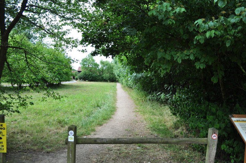
Merton Wood offers an extensive network of walking trails, allowing visitors to fully immerse themselves in the natural surroundings. Hikers can explore the enchanting woodland paths, taking in the sights and sounds of nature at their own pace.

With its serene atmosphere, vibrant flora and fauna, and extensive walking trails, Merton Wood is a true gem for those seeking solace in nature's embrace.

If you have any feedback on the listing, please let us know in the comments section below.

Merton Wood Images

Images are sourced within 2km of 52.541547/0.81291435 or Grid Reference TL9097. Thanks to Geograph Open Source API. All images are credited.

Tottington Road Tottington Road looking west near to Thompson, Norfolk.
Tottington Road
Tottington Road looking west near to Thompson, Norfolk.
Entering Thompson Speed restriction of Thompson, Norfolk.
Entering Thompson
Speed restriction of Thompson, Norfolk.
Village Hall Thompson village hall Thompson, Norfolk.
Village Hall
Thompson village hall Thompson, Norfolk.
Road Sign Finger post at Thompson, Norfolk.
Road Sign
Finger post at Thompson, Norfolk.
Cross Roads Road junction at Thompson, Norfolk.
Cross Roads
Road junction at Thompson, Norfolk.
Griston Road Griston Road looking north east near to Thompson, Norfolk.
Griston Road
Griston Road looking north east near to Thompson, Norfolk.
Footpath Footpath to Thompson church near to Thompson, Norfolk.
Footpath
Footpath to Thompson church near to Thompson, Norfolk.
No More Knotweed Compare this photo of Low Common Farm with Jonathan Billingers of 2007 <a title="https://www.geograph.org.uk/photo/473894" href="https://www.geograph.org.uk/photo/473894">Link</a> and the Knotweed appears to have been eradicated. Near to Thompson, Norfolk.
No More Knotweed
Compare this photo of Low Common Farm with Jonathan Billingers of 2007 Link and the Knotweed appears to have been eradicated. Near to Thompson, Norfolk.
Country Road Country road near to Thompson, Norfolk.
Country Road
Country road near to Thompson, Norfolk.
Country Lane Country lane near to Thompson, Norfolk.
Country Lane
Country lane near to Thompson, Norfolk.
Crop Spraying Crop spraying near to Thompson, Norfolk.
Crop Spraying
Crop spraying near to Thompson, Norfolk.
Finger Post Finger post road sign near to Thompson, Norfolk.
Finger Post
Finger post road sign near to Thompson, Norfolk.
Footpath And Road Footpath leading to Merton Church as seen leaving Crows Lane at Merton, Norfolk.
Footpath And Road
Footpath leading to Merton Church as seen leaving Crows Lane at Merton, Norfolk.
Village Sign Village sign on the village green plus shelter and post box at Merton, Norfolk. For close up of the two different sides of the village sign see <a title="https://www.geograph.org.uk/photo/2417140" href="https://www.geograph.org.uk/photo/2417140">Link</a> and <a title="https://www.geograph.org.uk/photo/2417142" href="https://www.geograph.org.uk/photo/2417142">Link</a>
Village Sign
Village sign on the village green plus shelter and post box at Merton, Norfolk. For close up of the two different sides of the village sign see Link and Link
Village Sign One side of the village sign at Merton, Norfolk for other side see <a title="https://www.geograph.org.uk/photo/2417142" href="https://www.geograph.org.uk/photo/2417142">Link</a> and <a title="https://www.geograph.org.uk/photo/2417138" href="https://www.geograph.org.uk/photo/2417138">Link</a>
Village Sign
One side of the village sign at Merton, Norfolk for other side see Link and Link
Village Sign One side of the village sign at Merton, Norfolk for other side see <a title="https://www.geograph.org.uk/photo/2417140" href="https://www.geograph.org.uk/photo/2417140">Link</a> and <a title="https://www.geograph.org.uk/photo/2417138" href="https://www.geograph.org.uk/photo/2417138">Link</a>
Village Sign
One side of the village sign at Merton, Norfolk for other side see Link and Link
Three Notice Boards And One Box Two village notice boards, one village public footpath board and one telephone box on the village green at Merton, Norfolk.
Three Notice Boards And One Box
Two village notice boards, one village public footpath board and one telephone box on the village green at Merton, Norfolk.
Village Shelter Village shelter Merton, Norfolk.
Village Shelter
Village shelter Merton, Norfolk.
Show me another place!

Merton Wood is located at Grid Ref: TL9097 (Lat: 52.541547, Lng: 0.81291435)

Administrative County: Norfolk

District: Breckland

Police Authority: Norfolk

What 3 Words

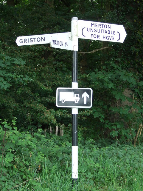
///buying.think.accent. Near Watton, Norfolk

Related Wikis

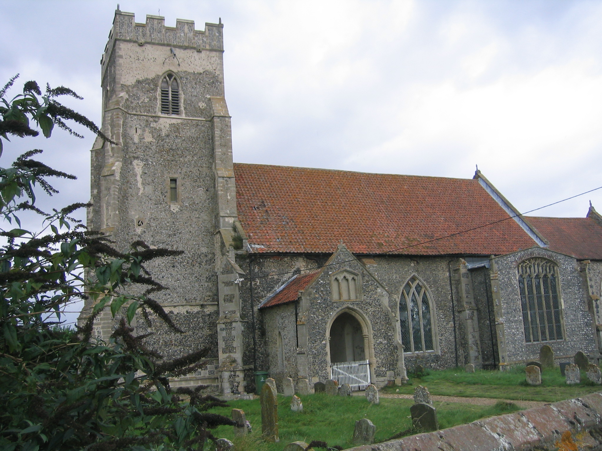
Merton Hall, Norfolk

Merton Hall is a 19th century country house in Merton, Norfolk, England. The extant north-west wing is a Grade II listed building. The 17th-century gatehouse...
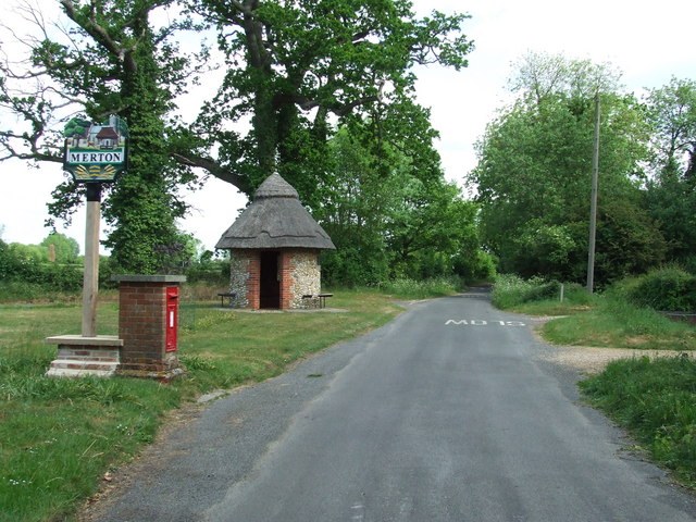
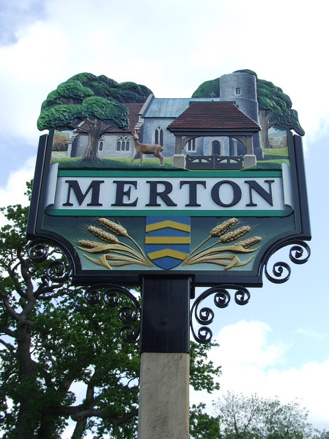
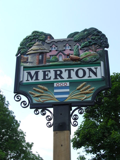
Merton, Norfolk

Merton is a civil parish in the English county of Norfolk. It covers an area of 5.94 km2 (2.29 sq mi) and had a population of 113 in 50 households at the...

Thompson, Norfolk

Thompson is a civil parish in the English county of Norfolk. It covers an area of 9.20 km2 (3.55 sq mi) and including Tottington had a population of 341...

Tottington, Norfolk

Tottington is a deserted village and civil parish in the English county of Norfolk. It is situated some 6.2 miles (10.0 km) north of the town of Thetford...

Wayland Wood

Wayland Wood is a 31.7-hectare (78-acre) biological Site of Special Scientific Interest near to Watton in Norfolk. It is a Nature Conservation Review...

Wayland Academy, Watton

Wayland Academy (formerly Wayland Community High School) is a small mixed secondary school located in Watton in the English county of Norfolk. It is part...

Stow Bedon railway station

Stow Bedon railway station is a closed station in Stow Bedon, Norfolk. It was initially opened in 1869 by the Great Eastern Railway network and became...

HM Prison Wayland

HM Prison Wayland is a Category C men's prison, located near the village of Griston in Norfolk, England. The prison is operated by His Majesty's Prison...

Nearby Amenities

Located within 500m of 52.541547,0.81291435
Barrier: kissing_gate
Lat/Long: 52.5390293/0.8161466
The data included in this document is from www.openstreetmap.org. The data is made available under ODbL.

Have you been to Merton Wood?

Leave your review of Merton Wood below (or comments, questions and feedback).