Gosling Plantation

Wood, Forest in Norfolk Breckland

England

Gosling Plantation

Country Lane Country lane near to Thompson, Norfolk.
Country Lane Credit: Keith Evans

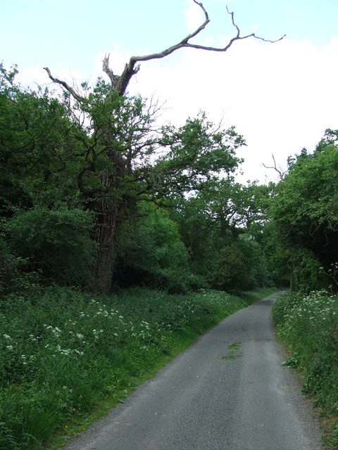
Gosling Plantation is a picturesque woodland area located in the county of Norfolk, England. Situated in the heart of the Norfolk Broads, this expansive forest covers an area of approximately 400 acres, making it an ideal destination for nature enthusiasts and outdoor adventurers.

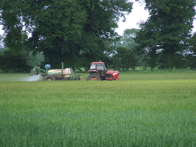
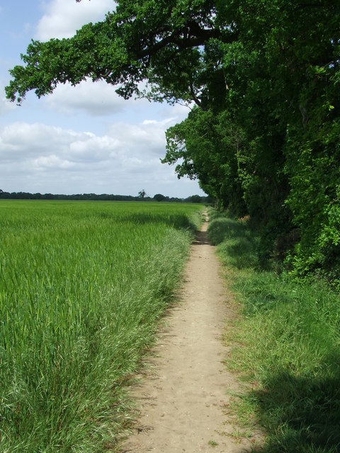
The plantation is characterized by its dense woodland, consisting primarily of native species such as oak, beech, and silver birch trees. The diverse range of flora and fauna found within the plantation makes it a haven for wildlife, attracting a variety of bird species, small mammals, and insects.

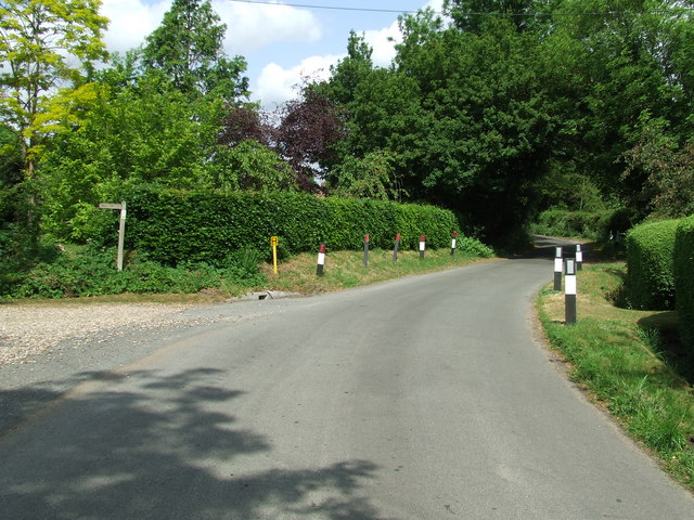
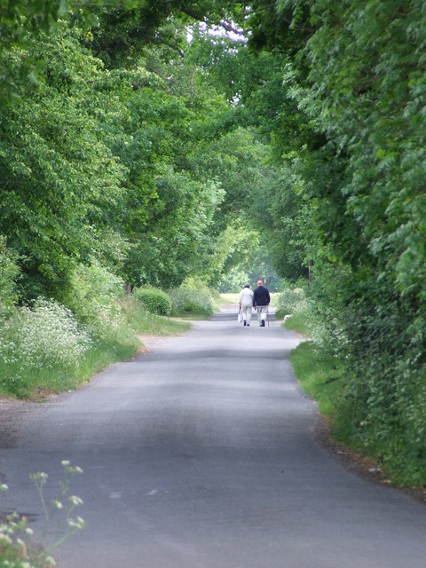
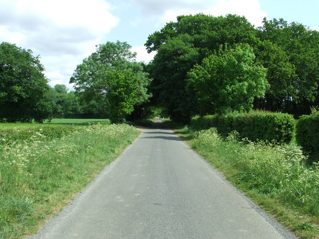
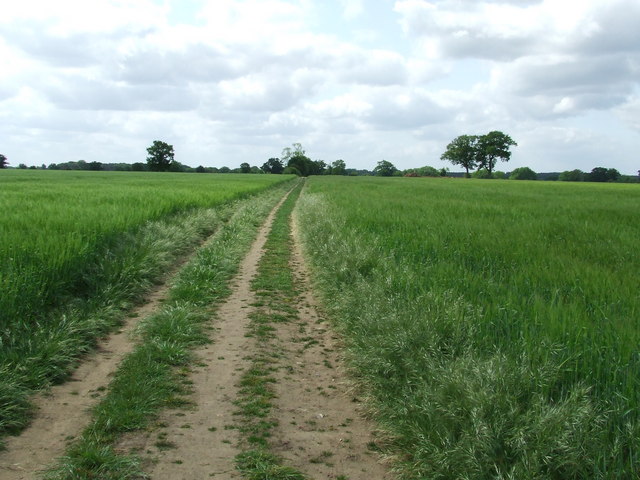
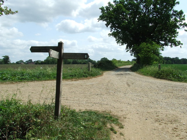
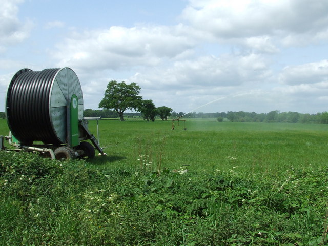
Visitors to Gosling Plantation can enjoy a network of well-maintained walking trails, allowing them to explore the natural beauty of the area. These trails wind through the forest, offering glimpses of stunning vistas and tranquil ponds along the way. The plantation is also home to a small lake, providing opportunities for fishing and boating.

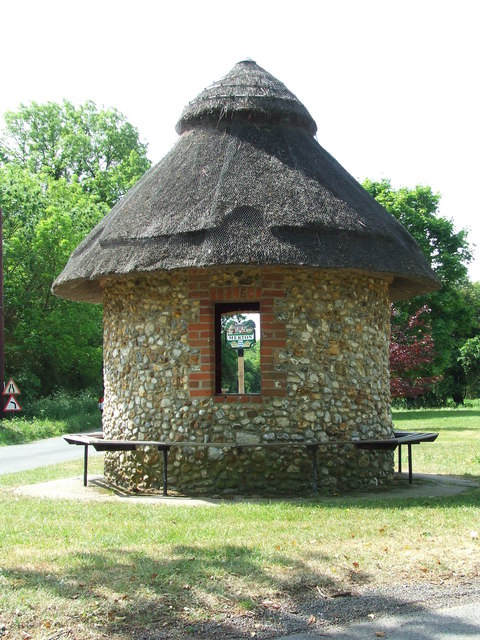
For those seeking a peaceful retreat, Gosling Plantation offers several designated picnic areas and benches where visitors can relax and soak in the serene ambiance. Additionally, the plantation boasts a visitor center, providing information about the history and ecology of the area, as well as offering guided tours and educational programs.

Gosling Plantation is open to the public year-round and is a popular destination for families, hikers, and nature lovers alike. With its natural beauty and tranquil atmosphere, this Norfolk woodland is a hidden gem waiting to be explored and appreciated by all who visit.

If you have any feedback on the listing, please let us know in the comments section below.

Gosling Plantation Images

Images are sourced within 2km of 52.544374/0.8033305 or Grid Reference TL9097. Thanks to Geograph Open Source API. All images are credited.

Country Lane Country lane near to Thompson, Norfolk.
Country Lane
Country lane near to Thompson, Norfolk.
Crop Spraying Crop spraying near to Thompson, Norfolk.
Crop Spraying
Crop spraying near to Thompson, Norfolk.
Finger Post Finger post road sign near to Thompson, Norfolk.
Finger Post
Finger post road sign near to Thompson, Norfolk.
Footpath And Road Footpath leading to Merton Church as seen leaving Crows Lane at Merton, Norfolk.
Footpath And Road
Footpath leading to Merton Church as seen leaving Crows Lane at Merton, Norfolk.
Village Sign Village sign on the village green plus shelter and post box at Merton, Norfolk. For close up of the two different sides of the village sign see <a title="https://www.geograph.org.uk/photo/2417140" href="https://www.geograph.org.uk/photo/2417140">Link</a> and <a title="https://www.geograph.org.uk/photo/2417142" href="https://www.geograph.org.uk/photo/2417142">Link</a>
Village Sign
Village sign on the village green plus shelter and post box at Merton, Norfolk. For close up of the two different sides of the village sign see Link and Link
Village Sign One side of the village sign at Merton, Norfolk for other side see <a title="https://www.geograph.org.uk/photo/2417142" href="https://www.geograph.org.uk/photo/2417142">Link</a> and <a title="https://www.geograph.org.uk/photo/2417138" href="https://www.geograph.org.uk/photo/2417138">Link</a>
Village Sign
One side of the village sign at Merton, Norfolk for other side see Link and Link
Village Sign One side of the village sign at Merton, Norfolk for other side see <a title="https://www.geograph.org.uk/photo/2417140" href="https://www.geograph.org.uk/photo/2417140">Link</a> and <a title="https://www.geograph.org.uk/photo/2417138" href="https://www.geograph.org.uk/photo/2417138">Link</a>
Village Sign
One side of the village sign at Merton, Norfolk for other side see Link and Link
Three Notice Boards And One Box Two village notice boards, one village public footpath board and one telephone box on the village green at Merton, Norfolk.
Three Notice Boards And One Box
Two village notice boards, one village public footpath board and one telephone box on the village green at Merton, Norfolk.
Village Shelter Village shelter Merton, Norfolk.
Village Shelter
Village shelter Merton, Norfolk.
The Long Walk Two people walking along the country road leading from Merton, Norfolk to Waton.
The Long Walk
Two people walking along the country road leading from Merton, Norfolk to Waton.
Country Road Country road looking North near to Merton, Suffolk.
Country Road
Country road looking North near to Merton, Suffolk.
Footpath Footpath and field boundary near to Merton, Norfolk.
Footpath
Footpath and field boundary near to Merton, Norfolk.
Footpath Footpath looking south near to Merton, Norfolk.
Footpath
Footpath looking south near to Merton, Norfolk.
Junction On Peddars Way Junction on Peddars Way near to Merton, Norfolk.
Junction On Peddars Way
Junction on Peddars Way near to Merton, Norfolk.
Irrigation Irrigation near to Merton, Norfolk.
Irrigation
Irrigation near to Merton, Norfolk.
Footpath Only Sign Footpath only sign at the end of the public road where it meets the Peddars Way near to Merton, Norfolk.
Footpath Only Sign
Footpath only sign at the end of the public road where it meets the Peddars Way near to Merton, Norfolk.
Approaching Home Farm Approaching Home Farm on the Peddars way near to Merton, Norfolk.
Approaching Home Farm
Approaching Home Farm on the Peddars way near to Merton, Norfolk.
4 X 4 Or Lotus An abandoned 1975/76 Lotus Eclat at Home Farm next to the Peddars Way near to Merton, Norfolk. I can only assume the farmer finds his 4 X 4 better on the rough tracks and fields.
4 X 4 Or Lotus
An abandoned 1975/76 Lotus Eclat at Home Farm next to the Peddars Way near to Merton, Norfolk. I can only assume the farmer finds his 4 X 4 better on the rough tracks and fields.
Show me another place!

Gosling Plantation is located at Grid Ref: TL9097 (Lat: 52.544374, Lng: 0.8033305)

Administrative County: Norfolk

District: Breckland

Police Authority: Norfolk

What 3 Words

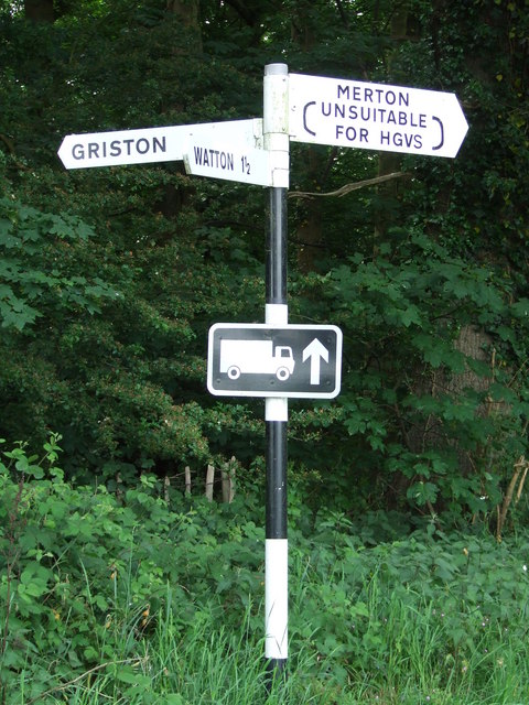
///incurs.wool.scrub. Near Watton, Norfolk

Related Wikis

Merton Hall, Norfolk

Merton Hall is a 19th century country house in Merton, Norfolk, England. The extant north-west wing is a Grade II listed building. The 17th-century gatehouse...
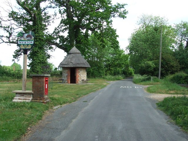
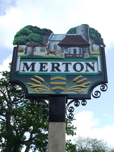
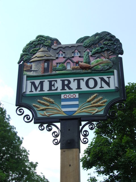
Merton, Norfolk

Merton is a civil parish in the English county of Norfolk. It covers an area of 5.94 km2 (2.29 sq mi) and had a population of 113 in 50 households at the...

Tottington, Norfolk

Tottington is a deserted village and civil parish in the English county of Norfolk. It is situated some 6.2 miles (10.0 km) north of the town of Thetford...

Thompson, Norfolk

Thompson is a civil parish in the English county of Norfolk. It covers an area of 9.20 km2 (3.55 sq mi) and including Tottington had a population of 341...

Wayland Academy, Watton

Wayland Academy (formerly Wayland Community High School) is a small mixed secondary school located in Watton in the English county of Norfolk. It is part...

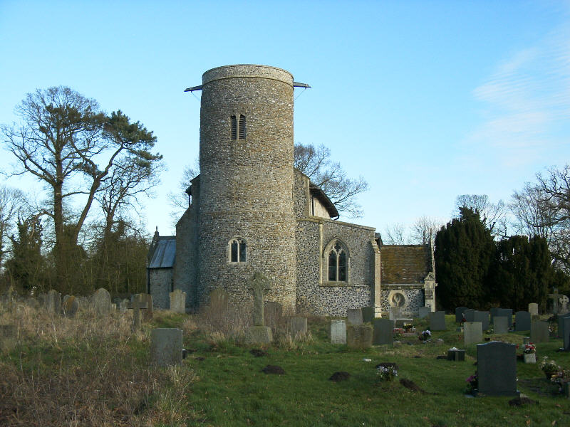
Threxton, All Saints

Threxton All Saints is a round-tower church at Threxton Hill, situated east of the village of Little Cressingham and west of the town of Watton in the...

Wayland Wood

Wayland Wood is a 31.7-hectare (78-acre) biological Site of Special Scientific Interest near to Watton in Norfolk. It is a Nature Conservation Review...

Watton, Norfolk

Watton is a market town in the district of Breckland in the English county of Norfolk, about 25 miles (40 km) west-southwest of Norwich and 15 miles (24...

Nearby Amenities

Located within 500m of 52.544374,0.8033305
The data included in this document is from www.openstreetmap.org. The data is made available under ODbL.

Have you been to Gosling Plantation?

Leave your review of Gosling Plantation below (or comments, questions and feedback).