Sparrow Hill

Hill, Mountain in Norfolk Breckland

England

Sparrow Hill

Tottington Road Tottington Road looking west near to Thompson, Norfolk.
Tottington Road Credit: Claire Evans

Sparrow Hill is a prominent hill located in Norfolk, England. Situated in the northern part of the county, Sparrow Hill stands at an elevation of approximately 128 meters (420 feet) above sea level. Despite its name, it is important to note that Sparrow Hill is not a mountain but rather a hill, in line with the geography of the region.

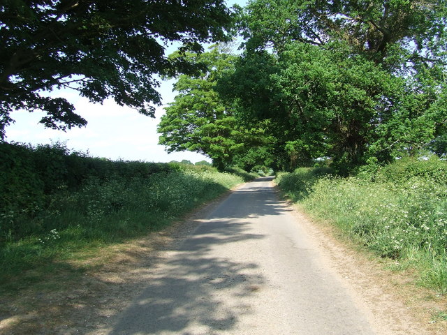
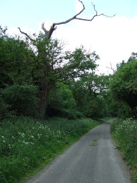
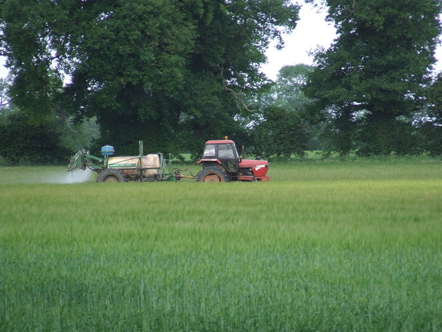
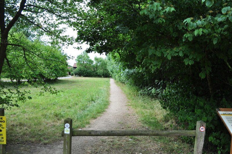
The hill is characterized by its gentle slopes and grassy terrain, making it an ideal spot for leisurely walks and hikes. From the top of Sparrow Hill, visitors are treated to breathtaking panoramic views of the surrounding countryside, including the nearby villages, rolling farmlands, and the distant Norfolk coastline.

The hill is known to be covered with a diverse range of plant species, contributing to its natural beauty and ecological value. It serves as a habitat for various wildlife, including birds, small mammals, and insects, making it a popular destination for nature enthusiasts and birdwatchers.

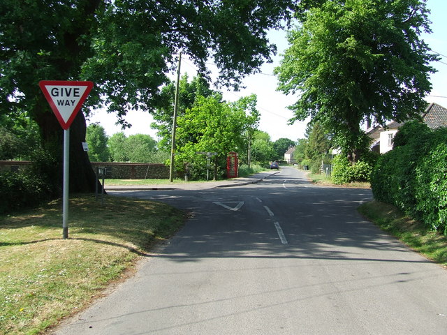
Sparrow Hill is easily accessible, with well-maintained footpaths leading up to its summit. Its proximity to nearby towns and villages makes it a favored destination for locals and visitors alike, seeking a peaceful retreat from the hustle and bustle of everyday life.

Overall, Sparrow Hill offers a serene and picturesque setting, providing visitors with the opportunity to immerse themselves in the natural beauty of Norfolk's countryside.

If you have any feedback on the listing, please let us know in the comments section below.
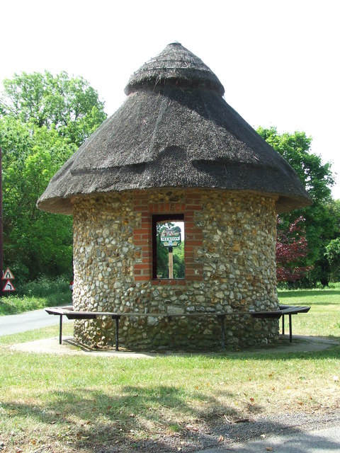
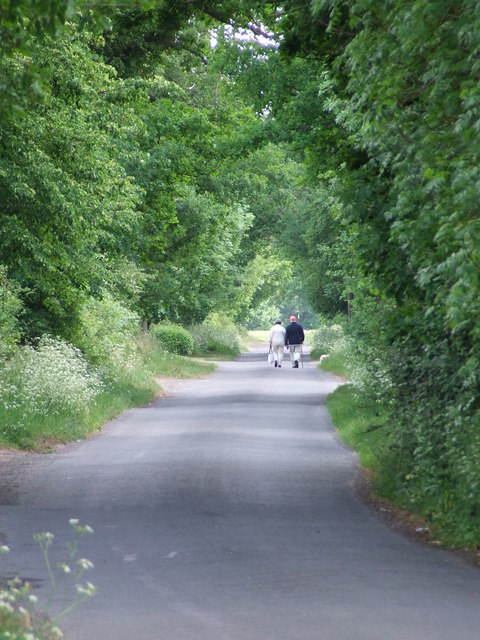
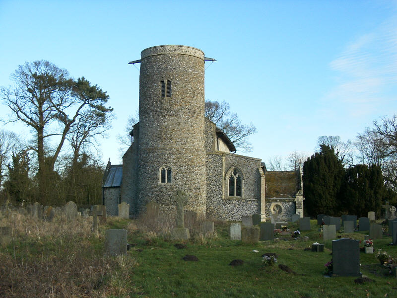
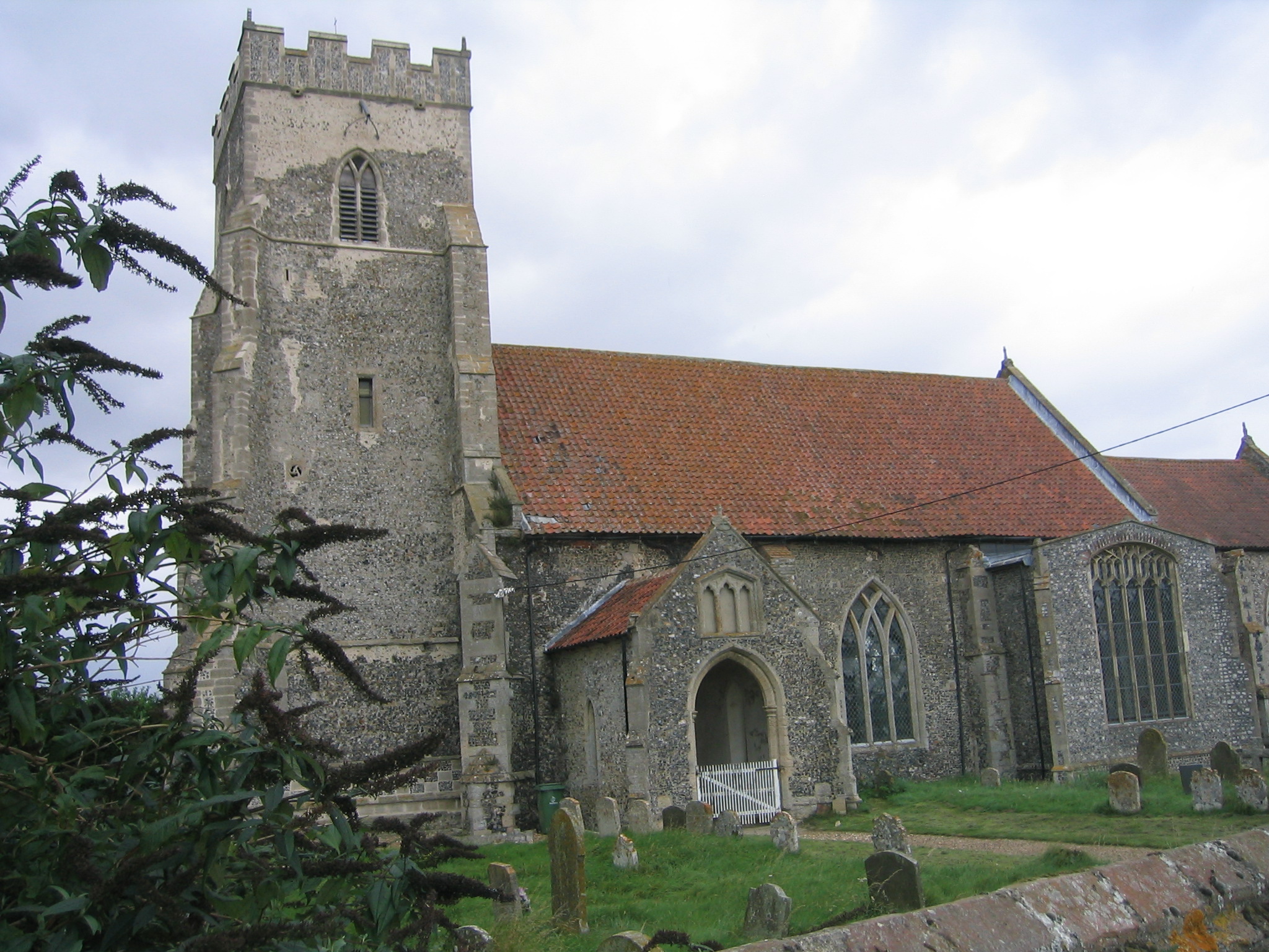
Sparrow Hill Images

Images are sourced within 2km of 52.538654/0.81093 or Grid Reference TL9097. Thanks to Geograph Open Source API. All images are credited.

Tottington Road Tottington Road looking west near to Thompson, Norfolk.
Tottington Road
Tottington Road looking west near to Thompson, Norfolk.
Entering Thompson Speed restriction of Thompson, Norfolk.
Entering Thompson
Speed restriction of Thompson, Norfolk.
Village Hall Thompson village hall Thompson, Norfolk.
Village Hall
Thompson village hall Thompson, Norfolk.
Road Sign Finger post at Thompson, Norfolk.
Road Sign
Finger post at Thompson, Norfolk.
Cross Roads Road junction at Thompson, Norfolk.
Cross Roads
Road junction at Thompson, Norfolk.
Griston Road Griston Road looking north east near to Thompson, Norfolk.
Griston Road
Griston Road looking north east near to Thompson, Norfolk.
Footpath Footpath to Thompson church near to Thompson, Norfolk.
Footpath
Footpath to Thompson church near to Thompson, Norfolk.
Country Lane Country lane near to Thompson, Norfolk.
Country Lane
Country lane near to Thompson, Norfolk.
Crop Spraying Crop spraying near to Thompson, Norfolk.
Crop Spraying
Crop spraying near to Thompson, Norfolk.
Finger Post Finger post road sign near to Thompson, Norfolk.
Finger Post
Finger post road sign near to Thompson, Norfolk.
Footpath And Road Footpath leading to Merton Church as seen leaving Crows Lane at Merton, Norfolk.
Footpath And Road
Footpath leading to Merton Church as seen leaving Crows Lane at Merton, Norfolk.
Village Sign Village sign on the village green plus shelter and post box at Merton, Norfolk. For close up of the two different sides of the village sign see <a title="https://www.geograph.org.uk/photo/2417140" href="https://www.geograph.org.uk/photo/2417140">Link</a> and <a title="https://www.geograph.org.uk/photo/2417142" href="https://www.geograph.org.uk/photo/2417142">Link</a>
Village Sign
Village sign on the village green plus shelter and post box at Merton, Norfolk. For close up of the two different sides of the village sign see Link and Link
Village Sign One side of the village sign at Merton, Norfolk for other side see <a title="https://www.geograph.org.uk/photo/2417142" href="https://www.geograph.org.uk/photo/2417142">Link</a> and <a title="https://www.geograph.org.uk/photo/2417138" href="https://www.geograph.org.uk/photo/2417138">Link</a>
Village Sign
One side of the village sign at Merton, Norfolk for other side see Link and Link
Village Sign One side of the village sign at Merton, Norfolk for other side see <a title="https://www.geograph.org.uk/photo/2417140" href="https://www.geograph.org.uk/photo/2417140">Link</a> and <a title="https://www.geograph.org.uk/photo/2417138" href="https://www.geograph.org.uk/photo/2417138">Link</a>
Village Sign
One side of the village sign at Merton, Norfolk for other side see Link and Link
Three Notice Boards And One Box Two village notice boards, one village public footpath board and one telephone box on the village green at Merton, Norfolk.
Three Notice Boards And One Box
Two village notice boards, one village public footpath board and one telephone box on the village green at Merton, Norfolk.
Village Shelter Village shelter Merton, Norfolk.
Village Shelter
Village shelter Merton, Norfolk.
The Long Walk Two people walking along the country road leading from Merton, Norfolk to Waton.
The Long Walk
Two people walking along the country road leading from Merton, Norfolk to Waton.
Approaching Home Farm Approaching Home Farm on the Peddars way near to Merton, Norfolk.
Approaching Home Farm
Approaching Home Farm on the Peddars way near to Merton, Norfolk.
Show me another place!

Sparrow Hill is located at Grid Ref: TL9097 (Lat: 52.538654, Lng: 0.81093)

Administrative County: Norfolk

District: Breckland

Police Authority: Norfolk

What 3 Words

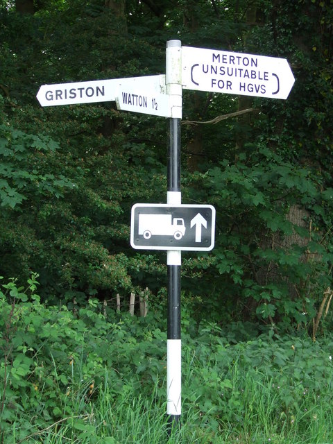
///dragonfly.prime.conveying. Near Watton, Norfolk

Related Wikis

Merton Hall, Norfolk

Merton Hall is a 19th century country house in Merton, Norfolk, England. The extant north-west wing is a Grade II listed building. The 17th-century gatehouse...
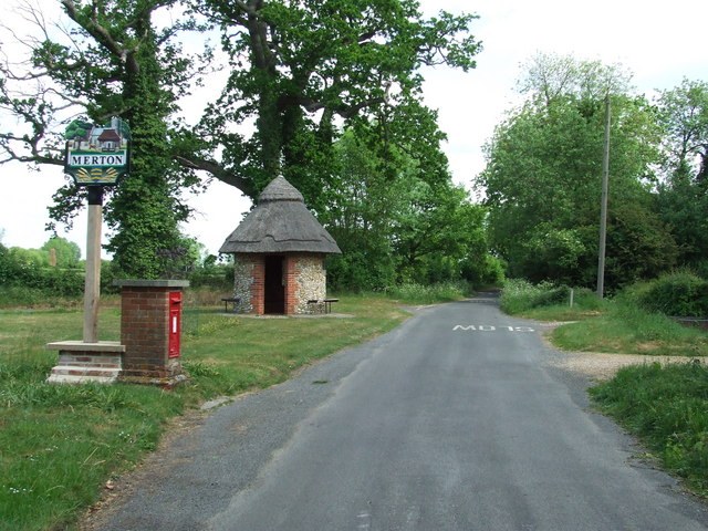
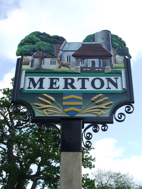
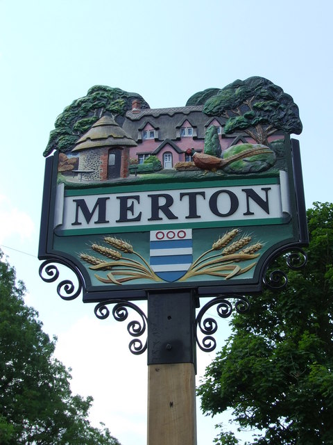
Merton, Norfolk

Merton is a civil parish in the English county of Norfolk. It covers an area of 5.94 km2 (2.29 sq mi) and had a population of 113 in 50 households at the...

Thompson, Norfolk

Thompson is a civil parish in the English county of Norfolk. It covers an area of 9.20 km2 (3.55 sq mi) and including Tottington had a population of 341...

Tottington, Norfolk

Tottington is a deserted village and civil parish in the English county of Norfolk. It is situated some 6.2 miles (10.0 km) north of the town of Thetford...

Wayland Wood

Wayland Wood is a 31.7-hectare (78-acre) biological Site of Special Scientific Interest near to Watton in Norfolk. It is a Nature Conservation Review...

Wayland Academy, Watton

Wayland Academy (formerly Wayland Community High School) is a small mixed secondary school located in Watton in the English county of Norfolk. It is part...

Stow Bedon railway station

Stow Bedon railway station is a closed station in Stow Bedon, Norfolk. It was initially opened in 1869 by the Great Eastern Railway network and became...

HM Prison Wayland

HM Prison Wayland is a Category C men's prison, located near the village of Griston in Norfolk, England. The prison is operated by His Majesty's Prison...

Nearby Amenities

Located within 500m of 52.538654,0.81093
Barrier: kissing_gate
Lat/Long: 52.5390293/0.8161466
The data included in this document is from www.openstreetmap.org. The data is made available under ODbL.

Have you been to Sparrow Hill?

Leave your review of Sparrow Hill below (or comments, questions and feedback).