Merton Park
Downs, Moorland in Norfolk Breckland
England
Merton Park
Merton Park is a charming village located in the county of Norfolk, England. Situated in the idyllic countryside, it offers a peaceful and picturesque setting for residents and visitors alike. The village is divided into two main areas, known as Downs and Moorland.
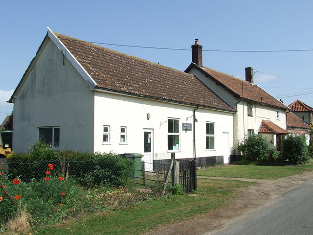
Downs is a quaint and tightly-knit community, characterized by its traditional English cottages and well-maintained gardens. It is home to a small, but vibrant, population of friendly locals who take pride in their village. The heart of Downs is its village green, a picturesque open space surrounded by ancient oak trees, where locals gather for recreational activities and community events.
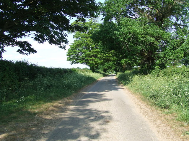
Moorland, on the other hand, is located slightly further out from the center of the village. It is renowned for its stunning natural beauty, with rolling hills and vast stretches of heather-covered moorland. This area is a haven for nature lovers, offering numerous walking trails and panoramic views of the surrounding countryside.
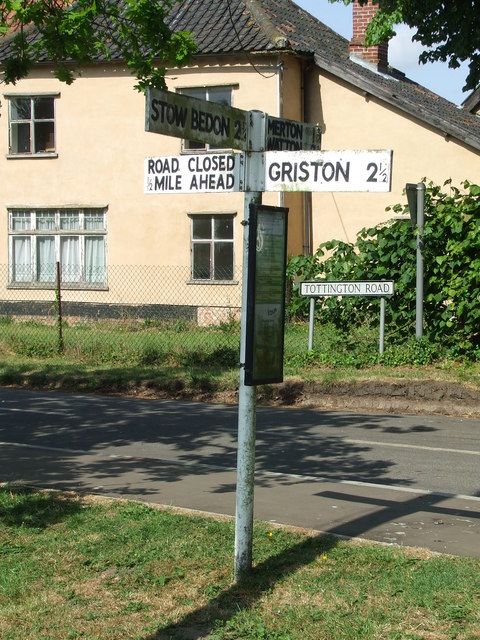
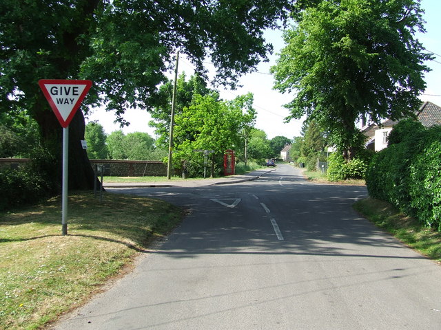
Both Downs and Moorland benefit from the proximity to Merton Park's amenities, including a well-stocked village shop, a cozy pub serving traditional British fare, and a primary school. The village also boasts excellent transport links, with regular bus services connecting it to nearby towns and cities.
Overall, Merton Park, Norfolk, with its tranquil atmosphere, charming architecture, and beautiful natural surroundings, is an ideal place for those seeking a peaceful and idyllic countryside lifestyle.
If you have any feedback on the listing, please let us know in the comments section below.
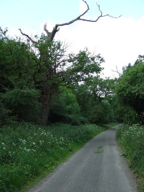
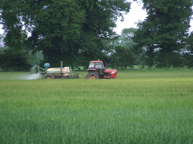
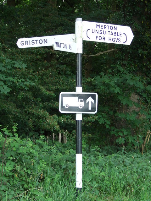
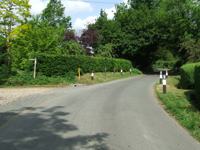
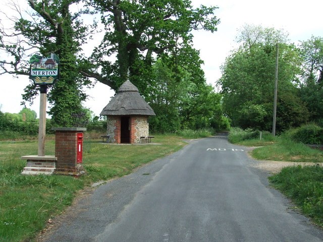
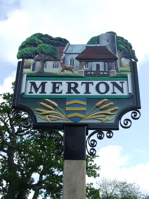
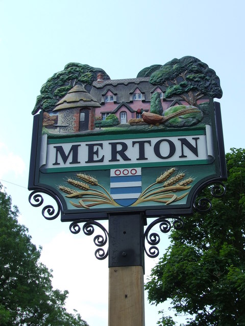
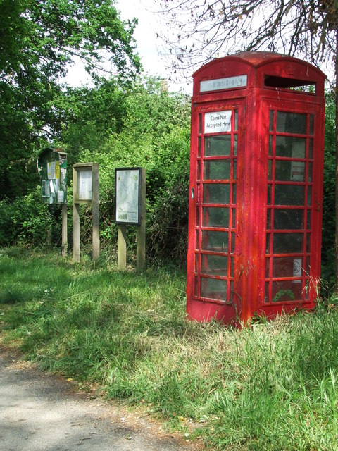
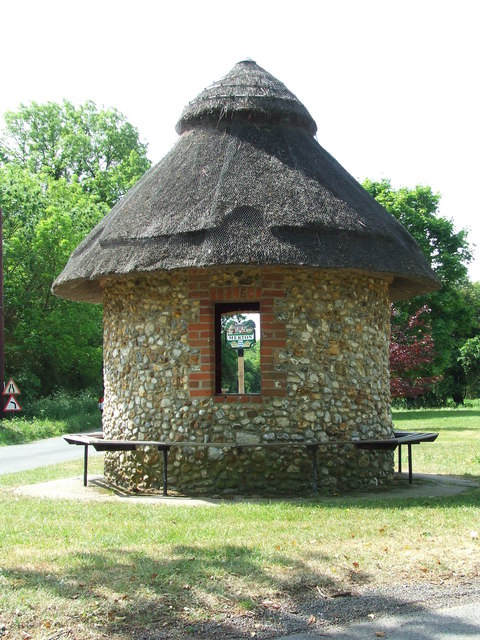
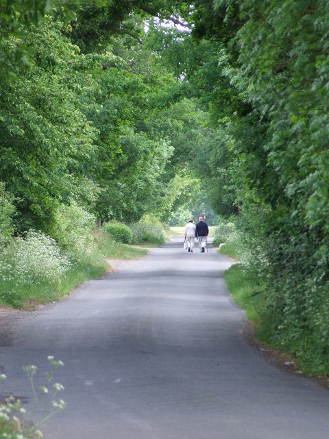
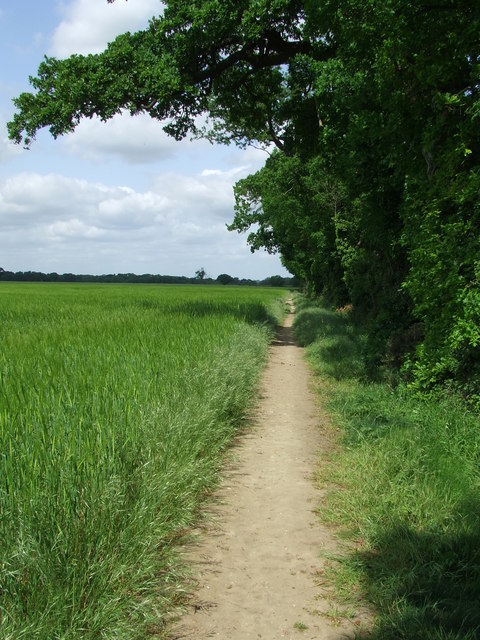
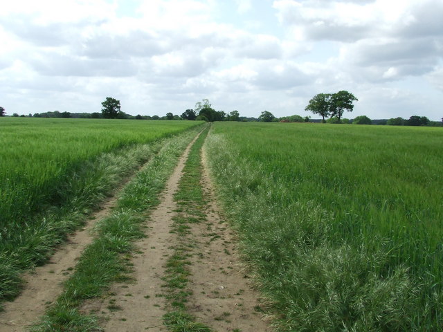
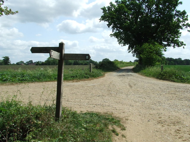
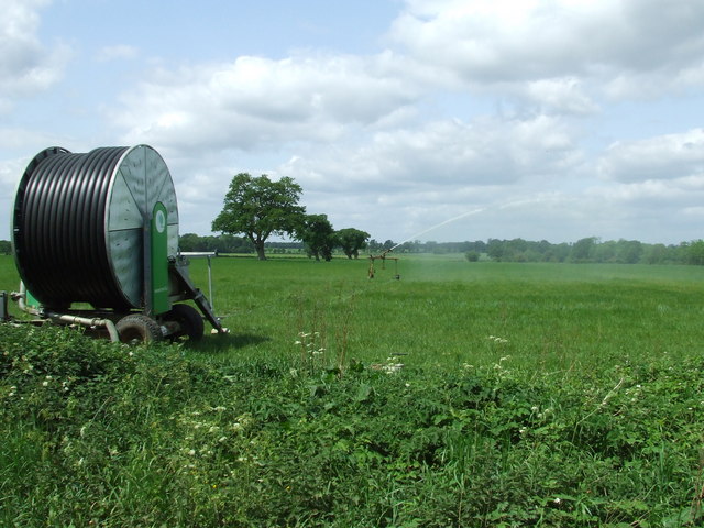
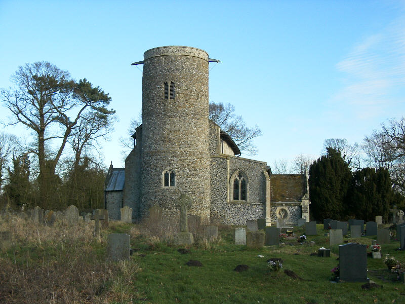
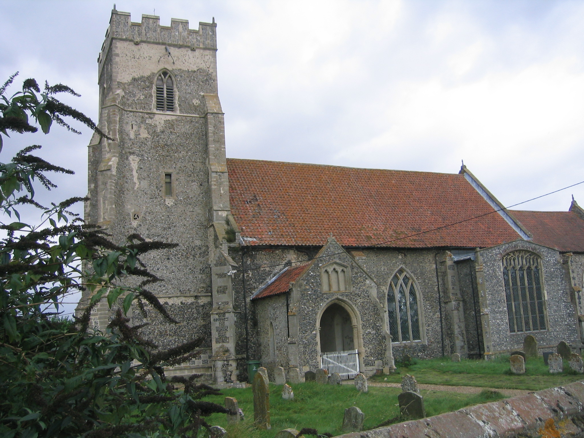
Merton Park Images
Images are sourced within 2km of 52.543465/0.80637007 or Grid Reference TL9097. Thanks to Geograph Open Source API. All images are credited.
Merton Park is located at Grid Ref: TL9097 (Lat: 52.543465, Lng: 0.80637007)
Administrative County: Norfolk
District: Breckland
Police Authority: Norfolk
What 3 Words
///resurgent.budding.outfitter. Near Watton, Norfolk
Nearby Locations
Related Wikis

Merton Hall, Norfolk
Merton Hall is a 19th century country house in Merton, Norfolk, England. The extant north-west wing is a Grade II listed building. The 17th-century gatehouse...
Merton, Norfolk
Merton is a civil parish in the English county of Norfolk. It covers an area of 5.94 km2 (2.29 sq mi) and had a population of 113 in 50 households at the...
Thompson, Norfolk
Thompson is a civil parish in the English county of Norfolk. It covers an area of 9.20 km2 (3.55 sq mi) and including Tottington had a population of 341...

Tottington, Norfolk
Tottington is a deserted village and civil parish in the English county of Norfolk. It is situated some 6.2 miles (10.0 km) north of the town of Thetford...
Wayland Academy, Watton
Wayland Academy (formerly Wayland Community High School) is a small mixed secondary school located in Watton in the English county of Norfolk. It is part...

Wayland Wood
Wayland Wood is a 31.7-hectare (78-acre) biological Site of Special Scientific Interest near to Watton in Norfolk. It is a Nature Conservation Review...
Threxton, All Saints
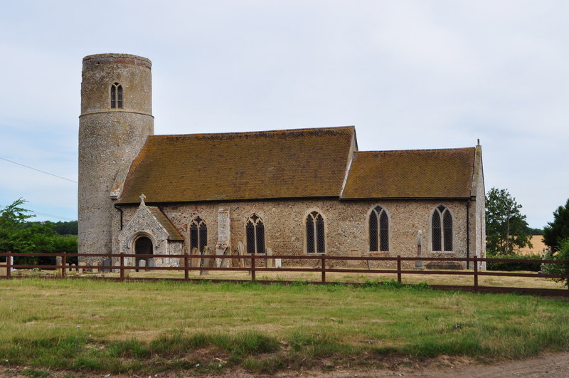
Threxton All Saints is a round-tower church at Threxton Hill, situated east of the village of Little Cressingham and west of the town of Watton in the...

Watton, Norfolk
Watton is a market town in the district of Breckland in the English county of Norfolk, about 25 miles (40 km) west-southwest of Norwich and 15 miles (24...
Nearby Amenities
Located within 500m of 52.543465,0.80637007Have you been to Merton Park?
Leave your review of Merton Park below (or comments, questions and feedback).