Middle Wood
Wood, Forest in Suffolk West Suffolk
England
Middle Wood

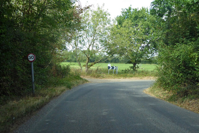
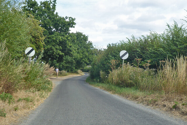
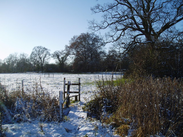
Middle Wood is a charming forest located in Suffolk, England. Spread over an extensive area, it offers a serene and picturesque environment for visitors to explore and enjoy. The wood is part of the larger Rendlesham Forest complex, renowned for its natural beauty and diverse flora and fauna.
The wood is predominantly made up of deciduous trees, including oak, beech, and birch, which create a stunning canopy of foliage during the summer months. It is also home to a variety of wildlife, such as deer, squirrels, and a wide array of bird species, making it a popular destination for nature lovers and birdwatchers.
Visitors can embark on numerous walking trails that wind their way through the wood, allowing them to immerse themselves in the peaceful surroundings and take in the breathtaking views. These trails cater to all abilities, from gentle strolls to more challenging hikes, ensuring that there is something for everyone.
For those seeking a more adventurous experience, Middle Wood offers opportunities for cycling and horse riding on designated paths. These activities provide an exhilarating way to explore the forest while enjoying the fresh air and natural beauty.
Throughout the year, the wood hosts various events and activities, including guided nature walks, educational programs, and forest-themed workshops. These offerings aim to engage visitors of all ages and foster a deeper appreciation for the natural environment.
Overall, Middle Wood in Suffolk is a haven for nature enthusiasts and outdoor enthusiasts alike. With its tranquil setting, diverse wildlife, and range of activities, it provides a delightful escape from the hustle and bustle of everyday life.
If you have any feedback on the listing, please let us know in the comments section below.
Middle Wood Images
Images are sourced within 2km of 52.225855/0.7828916 or Grid Reference TL9062. Thanks to Geograph Open Source API. All images are credited.


Middle Wood is located at Grid Ref: TL9062 (Lat: 52.225855, Lng: 0.7828916)
Administrative County: Suffolk
District: West Suffolk
Police Authority: Suffolk
What 3 Words
///doped.poets.curtail. Near Thurston, Suffolk
Nearby Locations
Related Wikis
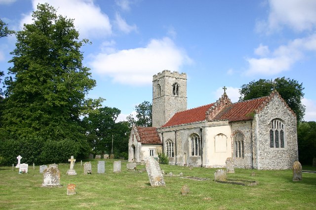
Rushbrooke with Rougham
Rushbrooke with Rougham is a large civil parish in the West Suffolk district of Suffolk in eastern England covering the villages of Blackthorpe, Rougham...

Rougham, Suffolk
Rougham is a village and former civil parish 19 miles (31 km) north west of Ipswich, now in the parish of Rushbrooke with Rougham, in the West Suffolk...
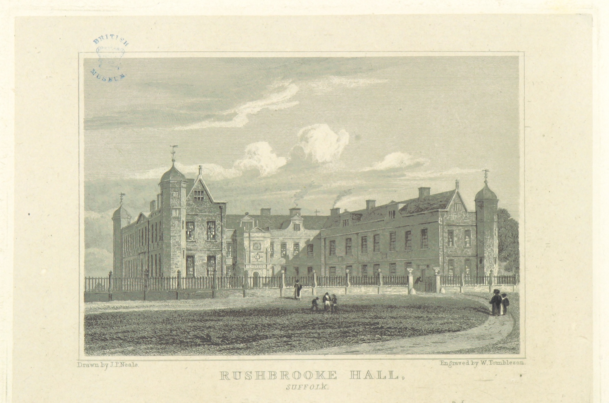
Rushbrooke Hall
Rushbrooke Hall was a British stately home in Rushbrooke, Suffolk. For several hundred years it was the family seat of the Jermyn family. It was demolished...
Rushbrooke, West Suffolk
Rushbrooke is a village and former civil parish on the River Lark, 20 miles (32 km) north west of Ipswich, now in the parish of Rushbrooke with Rougham...

Thedwastre Hundred
Thedwastre (also Thedwestry) was a hundred of the county of Suffolk, England covering an area of 40,362 acres (163.34 km2). It formed part of the Liberty...
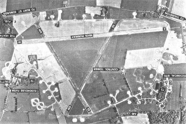
Rougham Airfield
Rougham Airfield, formerly Royal Air Force Bury St Edmunds or more simply RAF Bury St Edmunds is a former Royal Air Force station located 3 miles (4.8...

Little Whelnetham
Little Whelnetham (well-NEE-thum) (sometimes Little Welnetham) is a village and civil parish in the West Suffolk district of Suffolk in eastern England...

Bradfield St George
Bradfield St. George is a village and civil parish in the West Suffolk district of Suffolk, England, about 6 miles (9.7 km) south of Bury St Edmunds. According...
Nearby Amenities
Located within 500m of 52.225855,0.7828916Have you been to Middle Wood?
Leave your review of Middle Wood below (or comments, questions and feedback).