Brick Kiln Plantation

Wood, Forest in Suffolk West Suffolk

England

Brick Kiln Plantation

Stationary traffic, A14, Millfield Plantation Traffic was backed up from a multi-vehicle collision a mile further on.
Stationary traffic, A14, Millfield Plantation Credit: Christopher Hilton

Brick Kiln Plantation, located in Suffolk, England, is a picturesque woodland area known for its serene beauty and abundant wildlife. Covering an expansive area of approximately 100 acres, the plantation is a popular destination for nature enthusiasts and those seeking a peaceful retreat from the hustle and bustle of urban life.

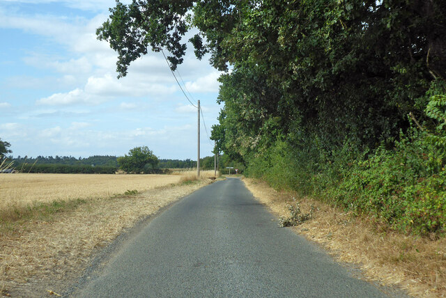
The plantation is characterized by its dense, mature woodland, dominated by a variety of tree species such as oak, beech, and birch. The diverse range of trees creates a rich canopy that provides shade and shelter for a plethora of flora and fauna. The forest floor is adorned with an array of wildflowers and ferns, adding to the plantation's enchanting atmosphere.

The wildlife in Brick Kiln Plantation is abundant and varied. It is home to numerous species of birds, including woodpeckers, owls, and various songbirds that fill the air with their melodic tunes. Squirrels scurry through the trees, while rabbits and deer can occasionally be spotted grazing in the open glades.

The plantation offers a network of well-maintained footpaths and trails, allowing visitors to explore its natural wonders at their own pace. These paths wind through the woodland, offering breathtaking views and opportunities for birdwatching and photography. The plantation also provides picnic areas and benches, inviting visitors to relax and soak in the tranquil ambiance.

Brick Kiln Plantation is a cherished gem in Suffolk, offering a haven for both wildlife and humans alike. Its natural beauty, diverse flora and fauna, and peaceful atmosphere make it an ideal destination for those seeking an escape into nature.

If you have any feedback on the listing, please let us know in the comments section below.

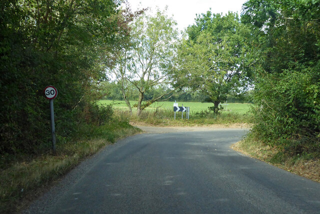
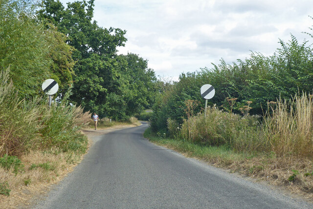
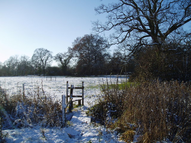
Brick Kiln Plantation Images

Images are sourced within 2km of 52.228143/0.79069411 or Grid Reference TL9062. Thanks to Geograph Open Source API. All images are credited.

Stationary traffic, A14, Millfield Plantation Traffic was backed up from a multi-vehicle collision a mile further on.
Stationary traffic, A14, Millfield Plantation
Traffic was backed up from a multi-vehicle collision a mile further on.
Eastlow Hill, Rougham Looking east.
Eastlow Hill, Rougham
Looking east.
Bend on Moat Lane, Rougham The moat is at Moat Farm, a bit further back.
Bend on Moat Lane, Rougham
The moat is at Moat Farm, a bit further back.
Nether Street becomes derestricted Leaving Rougham and Kingshall Street behind.
Nether Street becomes derestricted
Leaving Rougham and Kingshall Street behind.
Nether Street towards High Rougham
Quaker Lane Looking north to a junction with Bury Road.
Quaker Lane
Looking north to a junction with Bury Road.
Bury Road west from New Road crossroads Bury Road was the old Stowmarket - Bury St Edmunds road, part of the A45, before it was supplanted by the current A14. It is two way ahead for a bit for access purposes, then a one way slip onto the A14 where old and new routes coincide.
Bury Road west from New Road crossroads
Bury Road was the old Stowmarket - Bury St Edmunds road, part of the A45, before it was supplanted by the current A14. It is two way ahead for a bit for access purposes, then a one way slip onto the A14 where old and new routes coincide.
A footpath that leads through hotel grounds
Poplars Along New Road The west side of New Road,Rougham, south of the junction with Church Road.
Poplars Along New Road
The west side of New Road,Rougham, south of the junction with Church Road.
Stubble Field The footpath on the left leads from Church Road to Moat Lane. The trees in the middle of the field surround the small pond shown on the 1:25000 map.
Stubble Field
The footpath on the left leads from Church Road to Moat Lane. The trees in the middle of the field surround the small pond shown on the 1:25000 map.
Field of Barley, Rougham Looking south from near the junction of New Road, Rougham with the former A45
Field of Barley, Rougham
Looking south from near the junction of New Road, Rougham with the former A45
Fields Beside Church Road, Rougham Looking south from Church Road
Fields Beside Church Road, Rougham
Looking south from Church Road
Footpath from Rougham Green to Kingshall Street The houses in the background are on Kingshall Street
Footpath from Rougham Green to Kingshall Street
The houses in the background are on Kingshall Street
Stile on the footpath to Eastlow Hill
Pollarded Oak Trees There are several old pollarded oak trees in this meadow at Rougham Green.
Pollarded Oak Trees
There are several old pollarded oak trees in this meadow at Rougham Green.
Autumn Colours The oak trees didn't lose their leaves until mid December. The houses in the distance are at Newthorpe and The Downs.
Autumn Colours
The oak trees didn't lose their leaves until mid December. The houses in the distance are at Newthorpe and The Downs.
Muddy Farm Track Rushbrooke Wood is in the distance.
Muddy Farm Track
Rushbrooke Wood is in the distance.
Colville's Grove and Kingshall Farm
Show me another place!

Brick Kiln Plantation is located at Grid Ref: TL9062 (Lat: 52.228143, Lng: 0.79069411)

Administrative County: Suffolk

District: West Suffolk

Police Authority: Suffolk

What 3 Words

///await.asked.slice. Near Thurston, Suffolk

Related Wikis

Rushbrooke with Rougham

Rushbrooke with Rougham is a large civil parish in the West Suffolk district of Suffolk in eastern England covering the villages of Blackthorpe, Rougham...

Rougham, Suffolk

Rougham is a village and former civil parish 19 miles (31 km) north west of Ipswich, now in the parish of Rushbrooke with Rougham, in the West Suffolk...
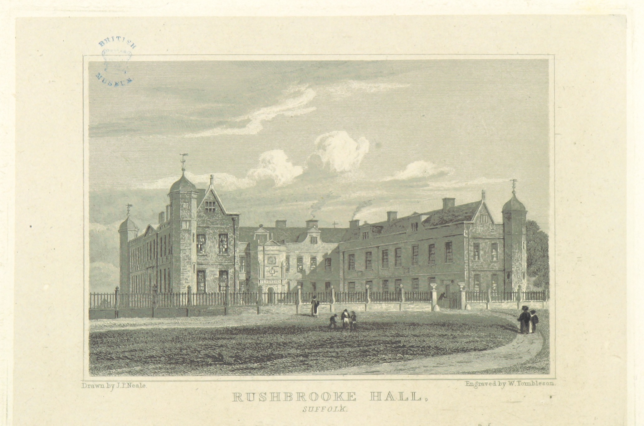
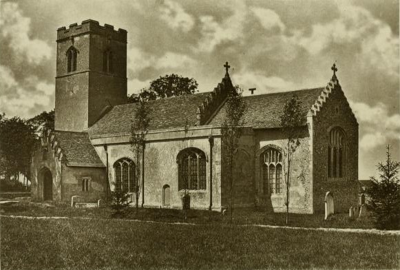
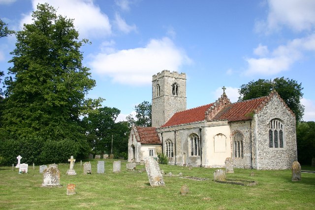
Rushbrooke Hall

Rushbrooke Hall was a British stately home in Rushbrooke, Suffolk. For several hundred years it was the family seat of the Jermyn family. It was demolished...

Rushbrooke, West Suffolk

Rushbrooke is a village and former civil parish on the River Lark, 20 miles (32 km) north west of Ipswich, now in the parish of Rushbrooke with Rougham...
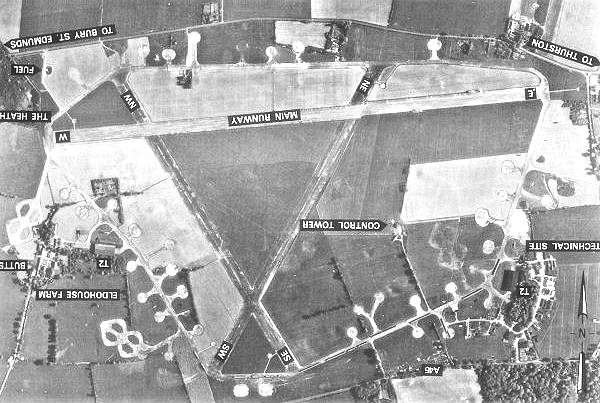
Rougham Airfield

Rougham Airfield, formerly Royal Air Force Bury St Edmunds or more simply RAF Bury St Edmunds is a former Royal Air Force station located 3 miles (4.8...

Bradfield St George

Bradfield St. George is a village and civil parish in the West Suffolk district of Suffolk, England, about 6 miles (9.7 km) south of Bury St Edmunds. According...

Thurston railway station

Thurston railway station serves the village of Thurston in Suffolk, England. The station, and all trains serving it, are operated by Greater Anglia. It...

Thedwastre Hundred

Thedwastre (also Thedwestry) was a hundred of the county of Suffolk, England covering an area of 40,362 acres (163.34 km2). It formed part of the Liberty...

Nearby Amenities

Located within 500m of 52.228143,0.79069411
Man Made: beacon
Lat/Long: 52.2287097/0.7958734
Bus Stop
Newthorpe Road
Bus: yes
Naptan AtcoCode: 390050660
Naptan Bearing: N
Naptan BusStopType: CUS
Naptan CommonName: Newthorpe Road
Naptan Indicator: adj
Naptan Landmark: Bus Shelter
Naptan NaptanCode: sufgjgpd
Naptan Street: Unclassified
Naptan Verified: no
Public Transport: platform
Source: naptan_import
Lat/Long: 52.2316817/0.7877717
Bus Stop
Newthorpe Road
Bus: yes
Naptan AtcoCode: 390050661
Naptan Bearing: S
Naptan CommonName: Newthorpe Road
Naptan Indicator: opp
Naptan Landmark: Bus Shelter
Naptan NaptanCode: sufgjgpg
Naptan Street: Unclassified
Naptan Verified: no
Public Transport: platform
Source: naptan_import
Lat/Long: 52.2316866/0.7879477
Power: tower
Lat/Long: 52.2240029/0.7920798
Power: tower
Lat/Long: 52.2238985/0.7897037
Material: wood
Power: pole
Lat/Long: 52.2278112/0.7935794
Material: wood
Power: pole
Lat/Long: 52.2272625/0.7927131
Post Box
Ref: IP30 2149
Lat/Long: 52.2261435/0.790243
Crossing
Lat/Long: 52.2288337/0.7926661
The data included in this document is from www.openstreetmap.org. The data is made available under ODbL.

Have you been to Brick Kiln Plantation?

Leave your review of Brick Kiln Plantation below (or comments, questions and feedback).