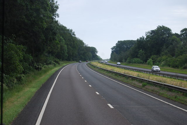
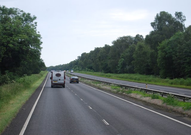
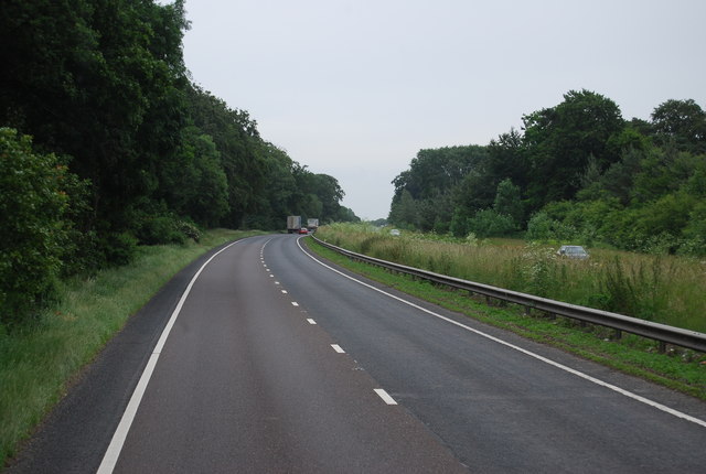
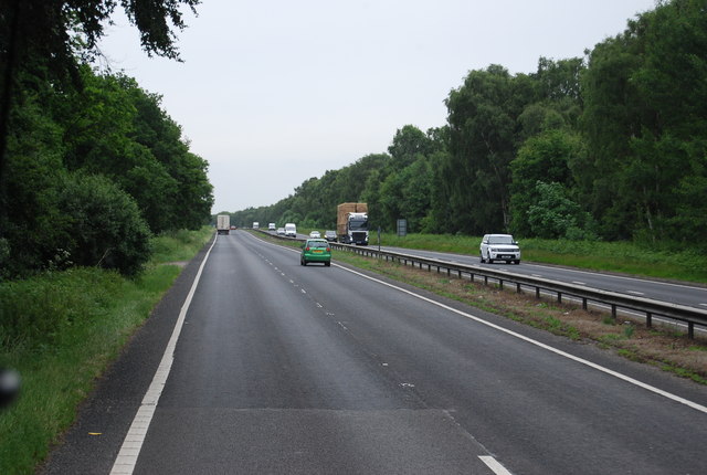
Larch Belt

Wood, Forest in Norfolk Breckland

England

Larch Belt

A11 towards London
A11 towards London Credit: Robin Webster

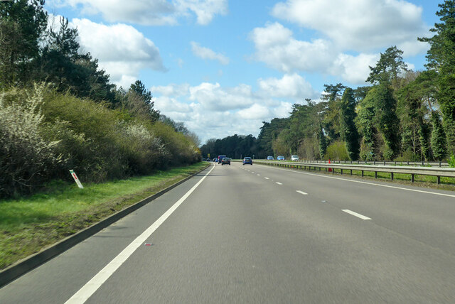
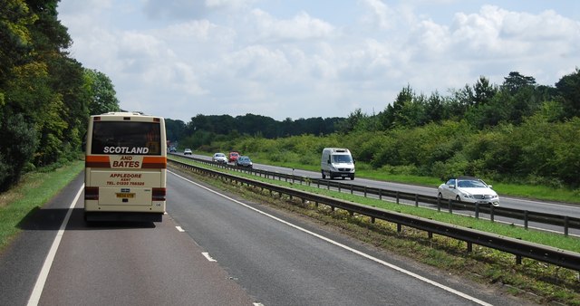
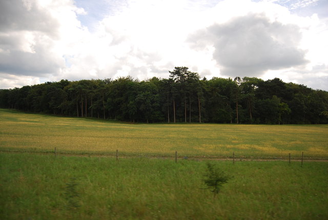
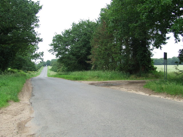
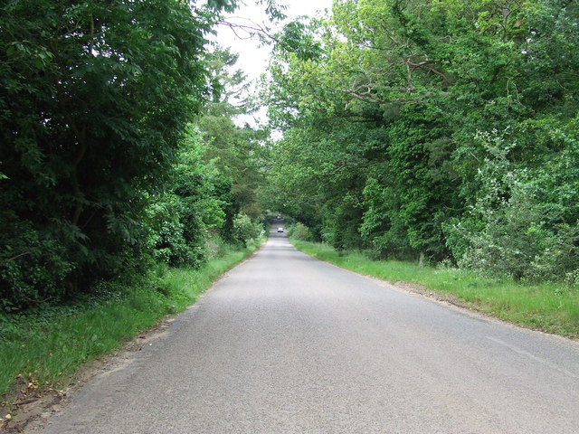
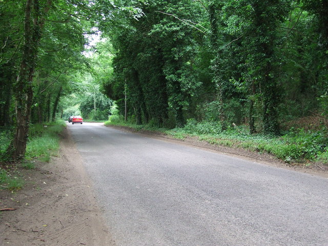
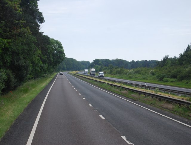
Larch Belt, Norfolk is a picturesque wood and forest located in the county of Norfolk, England. Spread across a vast area, this woodland is predominantly composed of larch trees, giving it its distinctive name. Larch Belt is situated in a rural setting, surrounded by rolling hills and tranquil countryside, providing a serene and peaceful atmosphere for nature lovers and outdoor enthusiasts.

The forest is home to a diverse range of flora and fauna, with an abundance of wildlife including deer, foxes, rabbits, and various bird species. The larch trees themselves are tall and majestic, characterized by their slender trunk and vibrant green needles that turn golden yellow in the autumn, creating a breathtaking spectacle of colors.

Larch Belt offers a variety of recreational activities for visitors to enjoy. There are well-maintained walking trails that wind through the forest, providing opportunities for leisurely strolls or more challenging hikes. These trails offer stunning views of the surrounding landscape, making it a popular destination for photographers and nature enthusiasts. Additionally, the forest is equipped with picnic areas and benches, allowing visitors to relax and take in the beauty of their surroundings.

Furthermore, Larch Belt is a designated nature reserve, ensuring the conservation of the area's natural habitat and biodiversity. It is managed by local authorities and conservation organizations, who work diligently to preserve the forest's ecological balance and protect its wildlife.

Overall, Larch Belt, Norfolk is a haven of natural beauty, offering visitors a chance to escape the bustle of everyday life and immerse themselves in the tranquility of the forest. Whether it's for a leisurely walk, bird-watching, or simply finding solace in nature, Larch Belt provides a captivating and rejuvenating experience for all who venture into its embrace.

If you have any feedback on the listing, please let us know in the comments section below.

Larch Belt Images

Images are sourced within 2km of 52.427739/0.79608219 or Grid Reference TL9084. Thanks to Geograph Open Source API. All images are credited.

A11 towards London
A11 towards London
The A11 The A11 is a major road in Eastern England. It runs roughly north east for 111 miles from London to Norwich, With the M11 opening in the 1970s and then the A12 extension in 1999, a lengthy section has been downgraded between the suburbs of east London and the north-west corner of the county of Essex. It also overlaps with the A14 on the Newmarket bypass.
<span class="nowrap"><a title="http://www.sabre-roads.org.uk/wiki/index.php?title=A11" rel="nofollow ugc noopener" href="http://www.sabre-roads.org.uk/wiki/index.php?title=A11">Link</a><img style="margin-left:2px;" alt="External link" title="External link - shift click to open in new window" src="https://s1.geograph.org.uk/img/external.png" width="10" height="10"/></span>
The A11
The A11 is a major road in Eastern England. It runs roughly north east for 111 miles from London to Norwich, With the M11 opening in the 1970s and then the A12 extension in 1999, a lengthy section has been downgraded between the suburbs of east London and the north-west corner of the county of Essex. It also overlaps with the A14 on the Newmarket bypass. LinkExternal link
Milestone Plantation
Country Road Country road looking east near to Brettenham, Norfolk.
Country Road
Country road looking east near to Brettenham, Norfolk.
Minor Road Country road near to Brettenham, Norfolk.
Minor Road
Country road near to Brettenham, Norfolk.
Tree Lined Road Tree lined road near to Thetford, Norfolk.
Tree Lined Road
Tree lined road near to Thetford, Norfolk.
A11, northbound The A11 is a major road in Eastern England. It runs roughly north east for 111 miles from London to Norwich, With the M11 opening in the 1970s and then the A12 extension in 1999, a lengthy section has been downgraded between the suburbs of east London and the north-west corner of the county of Essex. It also overlaps with the A14 on the Newmarket bypass.
<span class="nowrap"><a title="http://www.sabre-roads.org.uk/wiki/index.php?title=A11" rel="nofollow ugc noopener" href="http://www.sabre-roads.org.uk/wiki/index.php?title=A11">Link</a><img style="margin-left:2px;" alt="External link" title="External link - shift click to open in new window" src="https://s1.geograph.org.uk/img/external.png" width="10" height="10"/></span>
A11, northbound
The A11 is a major road in Eastern England. It runs roughly north east for 111 miles from London to Norwich, With the M11 opening in the 1970s and then the A12 extension in 1999, a lengthy section has been downgraded between the suburbs of east London and the north-west corner of the county of Essex. It also overlaps with the A14 on the Newmarket bypass. LinkExternal link
The A11
The A11
The A11 The A11 is a major road in Eastern England. It runs roughly north east for 111 miles from London to Norwich, With the M11 opening in the 1970s and then the A12 extension in 1999, a lengthy section has been downgraded between the suburbs of east London and the north-west corner of the county of Essex. It also overlaps with the A14 on the Newmarket bypass.
<span class="nowrap"><a title="http://www.sabre-roads.org.uk/wiki/index.php?title=A11" rel="nofollow ugc noopener" href="http://www.sabre-roads.org.uk/wiki/index.php?title=A11">Link</a><img style="margin-left:2px;" alt="External link" title="External link - shift click to open in new window" src="https://s1.geograph.org.uk/img/external.png" width="10" height="10"/></span>
The A11
The A11 is a major road in Eastern England. It runs roughly north east for 111 miles from London to Norwich, With the M11 opening in the 1970s and then the A12 extension in 1999, a lengthy section has been downgraded between the suburbs of east London and the north-west corner of the county of Essex. It also overlaps with the A14 on the Newmarket bypass. LinkExternal link
A11 The A11 is a major road in Eastern England. It runs roughly north east for 111 miles from London to Norwich, With the M11 opening in the 1970s and then the A12 extension in 1999, a lengthy section has been downgraded between the suburbs of east London and the north-west corner of the county of Essex. It also overlaps with the A14 on the Newmarket bypass.
<span class="nowrap"><a title="http://www.sabre-roads.org.uk/wiki/index.php?title=A11" rel="nofollow ugc noopener" href="http://www.sabre-roads.org.uk/wiki/index.php?title=A11">Link</a><img style="margin-left:2px;" alt="External link" title="External link - shift click to open in new window" src="https://s1.geograph.org.uk/img/external.png" width="10" height="10"/></span>
A11
The A11 is a major road in Eastern England. It runs roughly north east for 111 miles from London to Norwich, With the M11 opening in the 1970s and then the A12 extension in 1999, a lengthy section has been downgraded between the suburbs of east London and the north-west corner of the county of Essex. It also overlaps with the A14 on the Newmarket bypass. LinkExternal link
A11, Bridgham Heath The A11 is a major road in Eastern England. It runs roughly north east for 111 miles from London to Norwich, With the M11 opening in the 1970s and then the A12 extension in 1999, a lengthy section has been downgraded between the suburbs of east London and the north-west corner of the county of Essex. It also overlaps with the A14 on the Newmarket bypass.
<span class="nowrap"><a title="http://www.sabre-roads.org.uk/wiki/index.php?title=A11" rel="nofollow ugc noopener" href="http://www.sabre-roads.org.uk/wiki/index.php?title=A11">Link</a><img style="margin-left:2px;" alt="External link" title="External link - shift click to open in new window" src="https://s1.geograph.org.uk/img/external.png" width="10" height="10"/></span>
A11, Bridgham Heath
The A11 is a major road in Eastern England. It runs roughly north east for 111 miles from London to Norwich, With the M11 opening in the 1970s and then the A12 extension in 1999, a lengthy section has been downgraded between the suburbs of east London and the north-west corner of the county of Essex. It also overlaps with the A14 on the Newmarket bypass. LinkExternal link
A11, southbound The A11 is a major road in Eastern England. It runs roughly north east for 111 miles from London to Norwich, With the M11 opening in the 1970s and then the A12 extension in 1999, a lengthy section has been downgraded between the suburbs of east London and the north-west corner of the county of Essex. It also overlaps with the A14 on the Newmarket bypass.
<span class="nowrap"><a title="http://www.sabre-roads.org.uk/wiki/index.php?title=A11" rel="nofollow ugc noopener" href="http://www.sabre-roads.org.uk/wiki/index.php?title=A11">Link</a><img style="margin-left:2px;" alt="External link" title="External link - shift click to open in new window" src="https://s1.geograph.org.uk/img/external.png" width="10" height="10"/></span>
A11, southbound
The A11 is a major road in Eastern England. It runs roughly north east for 111 miles from London to Norwich, With the M11 opening in the 1970s and then the A12 extension in 1999, a lengthy section has been downgraded between the suburbs of east London and the north-west corner of the county of Essex. It also overlaps with the A14 on the Newmarket bypass. LinkExternal link
Animals grazing by the A11
Woodland beside Kilverstone Road
Kilverstone Road Looking south east on National Cycle Route 13.
Kilverstone Road
Looking south east on National Cycle Route 13.
Show me another place!

Larch Belt is located at Grid Ref: TL9084 (Lat: 52.427739, Lng: 0.79608219)

Administrative County: Norfolk

District: Breckland

Police Authority: Norfolk

What 3 Words

///curl.blanking.recording. Near Thetford, Norfolk

Related Wikis

Kilverstone

Kilverstone is a civil parish in the English county of Norfolk east of Thetford. It covers an area of 7.46 km2 (2.88 sq mi) and had a population of 60...

Kilverstone Hall

Kilverstone Hall is a Grade II listed building in Kilverstone in Norfolk, England. == History == Kilverstone Hall is a country house built in the early...

Bridgham and Brettenham Heaths

Bridgham and Brettenham Heaths is a 439.9-hectare (1,087-acre) biological Site of Special Scientific Interest north-east of Thetford in Norfolk, England...

The Thetford Academy, Norfolk

The Thetford Academy is a coeducational secondary school and sixth form with academy status located in Thetford, Norfolk, England. == History == Before...

Have you been to Larch Belt?

Leave your review of Larch Belt below (or comments, questions and feedback).