Seven Acre Wood
Wood, Forest in Kent Ashford
England
Seven Acre Wood

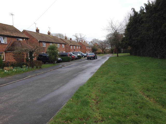
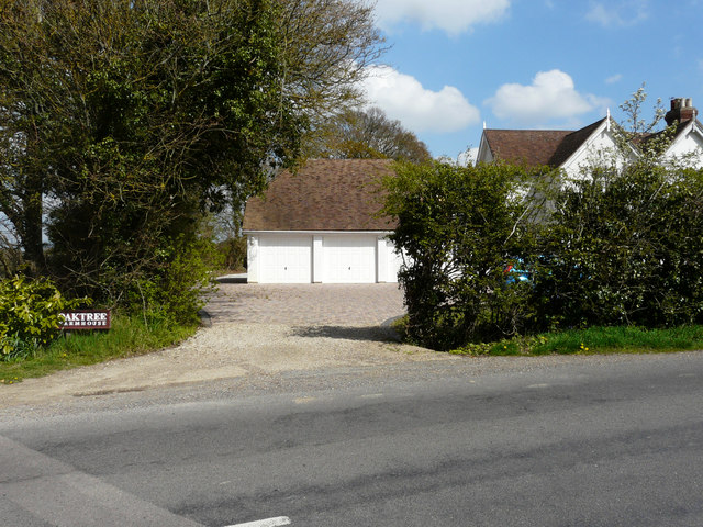
Seven Acre Wood is a picturesque woodland located in the county of Kent, England. Covering an area of approximately seven acres, the wood is nestled in the heart of the Kent countryside, surrounded by rolling hills and lush green fields. It is a popular destination for nature enthusiasts and visitors seeking tranquility and natural beauty.
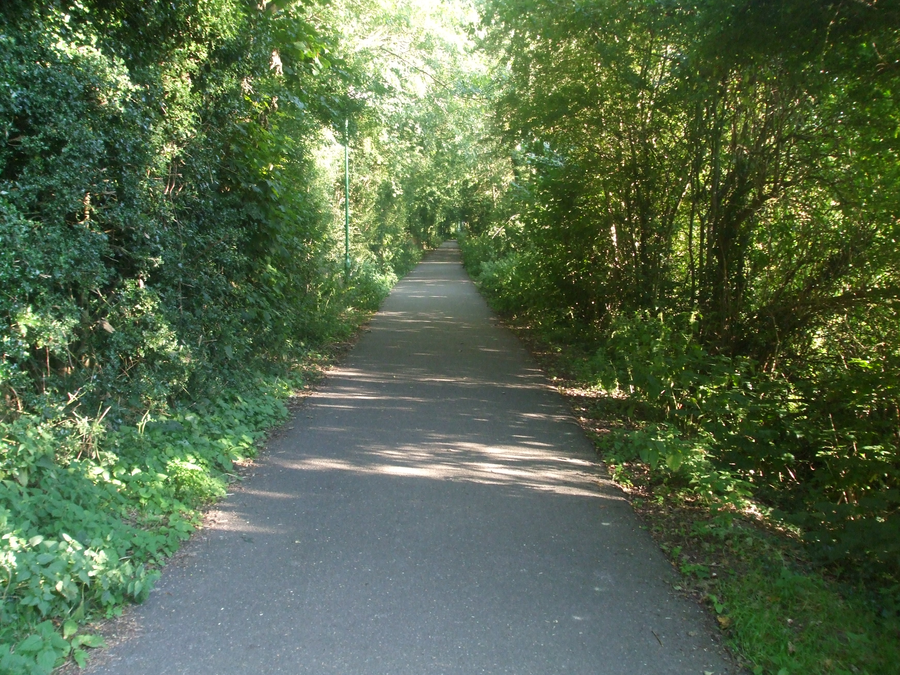
The wood boasts a diverse range of tree species, including oak, birch, beech, and ash, which create a dense canopy overhead. These trees provide a haven for a variety of wildlife, including birds, squirrels, and deer, making it an ideal spot for birdwatching and wildlife spotting.
Visitors can explore the wood via a network of well-maintained footpaths that wind their way through the trees. These paths offer stunning views of the surrounding countryside and lead to secluded glades and clearings, perfect for picnics or simply enjoying the peaceful atmosphere.
Seven Acre Wood also features a small stream that runs through its heart, adding to its natural charm. The sound of running water and the sight of wildflowers along its banks further enhance the sensory experience of being immersed in nature.
The wood is open to the public year-round and is a popular destination for families, dog walkers, and nature lovers. It offers a respite from the hustle and bustle of modern life, allowing visitors to reconnect with nature and enjoy the simple pleasures of the great outdoors.
If you have any feedback on the listing, please let us know in the comments section below.
Seven Acre Wood Images
Images are sourced within 2km of 51.087113/0.72373162 or Grid Reference TQ9035. Thanks to Geograph Open Source API. All images are credited.


Seven Acre Wood is located at Grid Ref: TQ9035 (Lat: 51.087113, Lng: 0.72373162)
Administrative County: Kent
District: Ashford
Police Authority: Kent
What 3 Words
///yours.sideboard.spends. Near High Halden, Kent
Nearby Locations
Related Wikis

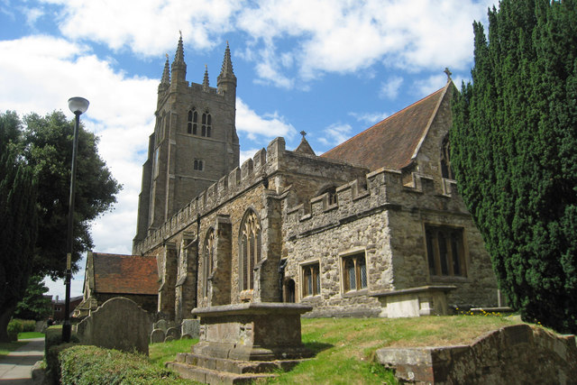
High Halden
High Halden is a village and civil parish in the Ashford District of Kent, England. The village is on the A28 road between Ashford and Tenterden, 3 miles...
National Cycle Route 18
National Cycle Route 18 (NCR18) runs from Canterbury to Royal Tunbridge Wells. It follows the valley of the River Stour to Ashford and then runs through...
Homewood School
Homewood School and Sixth Form Centre is an academy school in Tenterden, Kent, England. Homewood is a non-selective school, but is situated within the...
Sinden Theatre
The Sinden Theatre is located within the grounds of Homewood School in the heart of the Weald in Tenterden, Kent, England. It was opened in 2004 and is...

St Michaels, Kent
St Michaels is a village in the civil parish of Tenterden, in the Ashford district, in the county of Kent, England. Before 1863 it was known as Boar's...
Tenterden St Michael's railway station
Tenterden St. Michael's was a railway station on the Kent and East Sussex Railway which served the Tenterden suburb of St Michaels in Kent, England. The...
Leigh Green
Leigh Green is a hamlet 2 miles (3 km) southeast of the town of Tenterden in Kent, England .
Tenterden
Tenterden is a town and civil parish in the Borough of Ashford in Kent, England. In 2021 the parish had a population of 8,186. == Geography == It is connected...
Nearby Amenities
Located within 500m of 51.087113,0.72373162Have you been to Seven Acre Wood?
Leave your review of Seven Acre Wood below (or comments, questions and feedback).