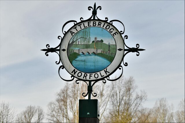
Attlebridge

Settlement in Norfolk Broadland

England

Attlebridge

Attlebridge, St. Andrews Church: Southern aspect
Attlebridge, St. Andrews Church: Southern aspect Credit: Michael Garlick

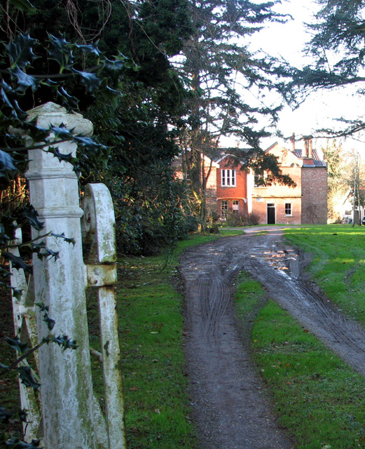
Attlebridge is a small village located in the county of Norfolk, England. Situated approximately 10 miles northwest of the city of Norwich, it falls within the district of Broadland. The village is nestled amidst picturesque countryside, offering a peaceful and idyllic setting for its residents.

With a population of around 300 people, Attlebridge is a close-knit community that exudes a friendly and welcoming atmosphere. The village is known for its strong sense of community spirit, with various local events and activities organized throughout the year.

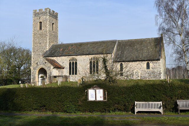
One of the notable landmarks in Attlebridge is St. Andrew's Church, a charming medieval church that dates back to the 14th century. The church features beautiful stained glass windows and a historic bell tower, adding to the village's historical charm.

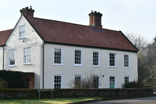
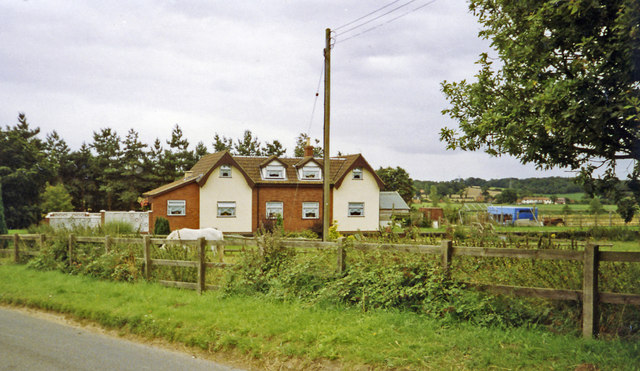
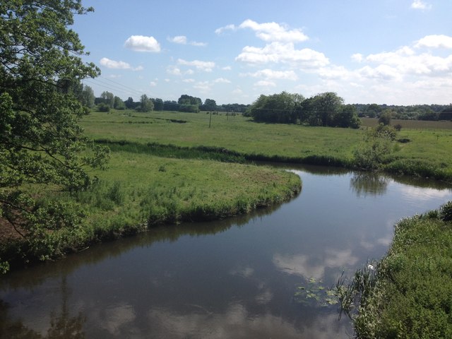
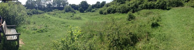
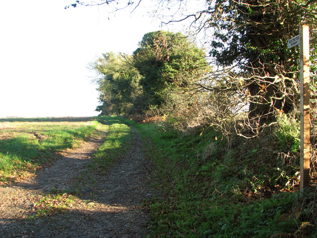
Despite its small size, Attlebridge offers a range of amenities for its residents. These include a village hall, a primary school, and a pub, providing essential services and opportunities for social interaction. The village is also surrounded by lush green fields and woodland, making it an ideal location for nature lovers and outdoor enthusiasts.

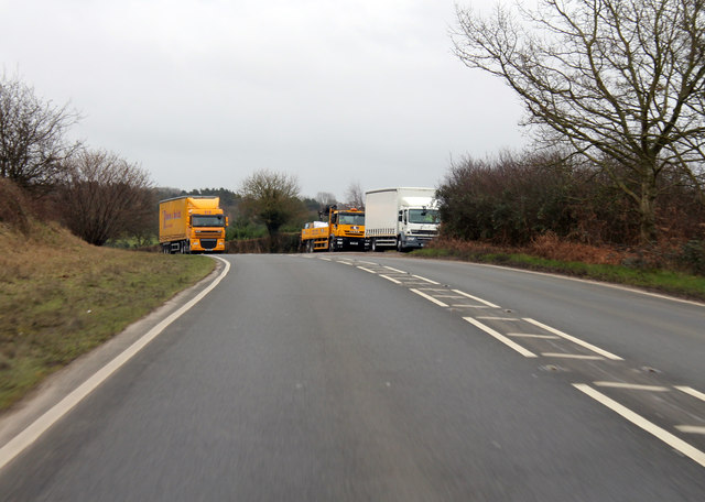
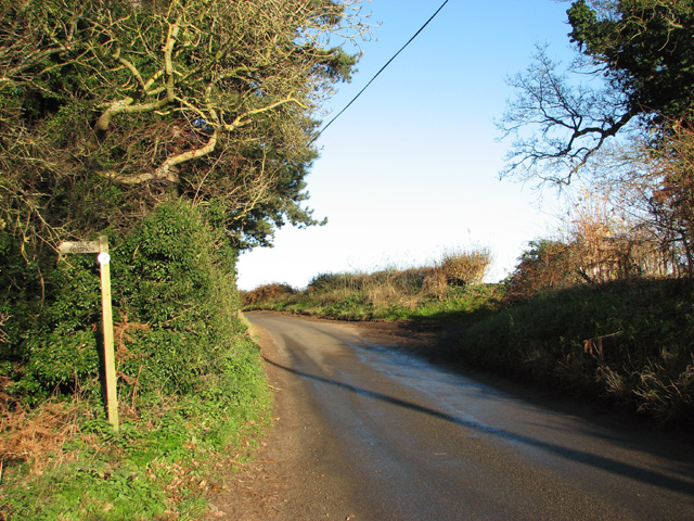
Attlebridge benefits from its close proximity to Norwich, which offers a wider range of amenities, shopping centers, and cultural attractions. The village is well-connected by road, with the A1067 passing nearby, providing easy access to other parts of Norfolk.

In summary, Attlebridge is a picturesque village in Norfolk with a strong community spirit, offering a tranquil countryside setting and a range of local amenities.

If you have any feedback on the listing, please let us know in the comments section below.
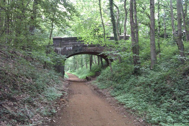
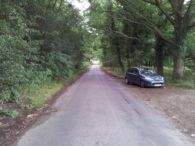
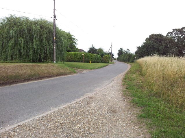
Attlebridge Images

Images are sourced within 2km of 52.707153/1.151163 or Grid Reference TG1216. Thanks to Geograph Open Source API. All images are credited.

Attlebridge, St. Andrews Church: Southern aspect
Attlebridge: The Old Barn
Attlebridge Village Sign
Old Milepost by the former A1067, Morton on the Hill parish Cast iron post by the UC road (was A1067), in parish of MORTON ON THE HILL (BROADLAND District), 100m North of No. 10 The Street, under hedge, on West side of road. Fakenham cast iron N-top, erected by the Norwich & Fakenham turnpike trust in the 19th century. Broken top.

Inscription reads:-
: FAKENHAM / 16 : : MORTON / 8 :

Milestone Society National ID: NO_NF08.
Old Milepost by the former A1067, Morton on the Hill parish
Cast iron post by the UC road (was A1067), in parish of MORTON ON THE HILL (BROADLAND District), 100m North of No. 10 The Street, under hedge, on West side of road. Fakenham cast iron N-top, erected by the Norwich & Fakenham turnpike trust in the 19th century. Broken top. Inscription reads:- : FAKENHAM / 16 : : MORTON / 8 : Milestone Society National ID: NO_NF08.
Site -?remains - of Attlebridge station, 1993 View SW on A1067 road. The station had been on the ex-M&GN Joint line, Melton Constable (to right) - Norwich (City) line, which closed for passengers with the rest of the system from 2/3/59, but the section to Norwich City was retained for goods by means of a connection off the ex-GER Wroxham - County School line by the Themelthorpe Loop from 12/9/60 and lasted until 13/7/64. It is not obvious whether the houses had been connected with the railway.
Site -?remains - of Attlebridge station, 1993
View SW on A1067 road. The station had been on the ex-M&GN Joint line, Melton Constable (to right) - Norwich (City) line, which closed for passengers with the rest of the system from 2/3/59, but the section to Norwich City was retained for goods by means of a connection off the ex-GER Wroxham - County School line by the Themelthorpe Loop from 12/9/60 and lasted until 13/7/64. It is not obvious whether the houses had been connected with the railway.
Marriots Way - Taverham Photograph of a road bridge across Marriot's Way. It's a disused rail track, now a foot and cycle path that runs from Norwich to Reepham.
Marriots Way - Taverham
Photograph of a road bridge across Marriot's Way. It's a disused rail track, now a foot and cycle path that runs from Norwich to Reepham.
Road through Gilham's Heath Plantation
Looking up School Road from Upgate Common
Fakenham Road towards Attlebridge Hall The A1067 towards Taverham.
Fakenham Road towards Attlebridge Hall
The A1067 towards Taverham.
Lay By on A1067 Fakenham Road
A1067 Norwich Road Heading south east.
A1067 Norwich Road
Heading south east.
A1067 approaching junctions at Morton
An empty A1067 South east of Attlebridge.
An empty A1067
South east of Attlebridge.
River Wensum from The Marriot's Way
Alderford Common panorama Old gravel pits
Alderford Common panorama
Old gravel pits
Heath House
Heath House
Byway to Upgate
Byway to Upgate
Footpath off Broad Lane The path leads through Alderford Common.
Footpath off Broad Lane
The path leads through Alderford Common.
Show me another place!

Attlebridge is located at Grid Ref: TG1216 (Lat: 52.707153, Lng: 1.151163)

Administrative County: Norfolk

District: Broadland

Police Authority: Norfolk

What 3 Words

///yacht.outhouse.blinks. Near Horsford, Norfolk

Related Wikis

Attlebridge

Attlebridge is a village and civil parish in the English county of Norfolk. It is situated about 8 miles (13 km) north-west of Norwich, where the A1067...

Attlebridge railway station

Attlebridge railway station is a closed station in Norfolk, England. It served the small village of Attlebridge. It was constructed by the Midland and...

Morton on the Hill

Morton on the Hill is a small but scattered village and civil parish in the English county of Norfolk, about 8 miles (13 km) north-west of Norwich. The...

Alderford Common

Alderford Common is a 17.5-hectare (43-acre) biological Site of Special Scientific Interest north-west of Norwich in Norfolk. The common has a thin layer...

Nearby Amenities

Located within 500m of 52.707153,1.151163
Bus Stop
The Street, opp
Bench: no
Bin: no
Bus: yes
Naptan AtcoCode: 2900A191
Naptan Bearing: NW
Naptan BusStopType: CUS
Naptan CommonName: The Street
Naptan Indicator: opp
Naptan Locality: Attlebridge
Naptan NaptanCode: nfoadmaj
Naptan Street: Fakenham Road
Naptan Verified: no
Public Transport: platform
Shelter: no
Source: naptan_import
Lat/Long: 52.7065001/1.1485603
Bus Stop
The Street, adj
Naptan AtcoCode: 2900A192
Naptan Bearing: SE
Naptan CommonName: The Street
Naptan Indicator: adj
Naptan Locality: Attlebridge
Naptan NaptanCode: nfoadmam
Naptan Street: Fakenham Road
Naptan Verified: no
Shelter: yes
Source: naptan_import
Lat/Long: 52.7068242/1.1475324
Attlebridge
Man Made: village_sign
Place: village
Wikidata: Q758213
Wikipedia: en:Attlebridge
Lat/Long: 52.7079487/1.1507469
Barrier: bollard
Bicycle: yes
Foot: yes
Source: survey;Bing
Lat/Long: 52.7067746/1.1496386
Crossing
Crossing: uncontrolled
Lat/Long: 52.7068372/1.1515836
Entrance: main
Lat/Long: 52.7074675/1.1505843
Post Box
Collection Times: Mo-Fr 16:30; Sa 13:00
Operator: Royal Mail
Post Box Type: lamp
Ref: NR9 935
Royal Cypher: EIIR
Royal Cypher Wikidata: Q33102113
Lat/Long: 52.7115724/1.1506907
Board Type: notice
Information: board
Lat/Long: 52.7073345/1.1508131
Bench
Backrest: yes
Colour: grey
Inscription: Stannard / In loveing memory of Wally and Peggy / Remembering all the happy times they spent on this corner
Material: wood
Lat/Long: 52.7073361/1.1508782
Bench
Backrest: yes
Colour: grey
Inscription: ERII / Silver Jubilee / 1952-1977
Material: wood
Lat/Long: 52.70734/1.1509128
Attlebridge / Norfolk
Alt Name: Attlebridge
Inscription: In Memory of 29244 Private Benjamin John Rayner / 10th Battalion Royal Fusiliers / Born at Attlebridge / October 1885 / Baptised in this church and lived in a cottage nearby / Son of Benjamin & Jane Rayner / Husband of Hilda May Punt / Farm Labourer
Inscription 2: / Died on the Somme / 23 July 1916 / aged 30 / 29088 Private William John Wortley / 1st Battalion Essex Regiment / Born at Methwold 1876 Son of William & Lucy Wortley / Husband of Agatha Johnson / Lived at Keeper’s Cottage / Attlebridge Hills / Gamekeeper
Inscription 3: / Died on the Somme / 23 November 1916 / aged 40 / Commemorated at Thiepval / Attlebridge Parish 2014
Man Made: village_sign
Material: metal
Lat/Long: 52.7071651/1.1510068
Attlebridge Parish
Board Type: notice
Information: board
Lat/Long: 52.7100841/1.1504897
Entrance: main
Lat/Long: 52.7065235/1.1512689
Barrier: bollard
Bicycle: yes
Foot: yes
Horse: yes
Motorcycle: no
Lat/Long: 52.7067134/1.1484901
Barrier: bollard
Bicycle: yes
Foot: yes
Horse: yes
Motorcycle: no
Lat/Long: 52.7067266/1.1489581
Grit Bin
Lat/Long: 52.7073243/1.1510691
Waste Basket
Lat/Long: 52.7073348/1.1510921
Bench
Backrest: yes
Colour: red
Inscription: For my dear parents / Patrick Roy Timm 1918 1998 / Hilda Ellen Timm 1913 1999 / At rest in Gods garden
Material: wood
Lat/Long: 52.7074851/1.1505119
Barrier: cattle_grid
Bicycle: yes
Foot: yes
Lat/Long: 52.7062457/1.1480095
Entrance: yes
Lat/Long: 52.7075868/1.1505725
Disused Entrance: yes
Lat/Long: 52.7075001/1.1507736
Post Office
Attlebridge Post Office
Addr City: Norwich
Addr Housename: St Andrews Church
Addr Postcode: NR9 5SU
Addr Street: Felthorpe Road
Addr Village: Attlebridge
Brand: Post Office
Brand Wikidata: Q1783168
Contact Website: https://www.postoffice.co.uk/branch-finder/2804719/attlebridge
Fixme: check location
Opening Hours: Mo 10:45-12:45
Ref Pol Id: 128466
Source: pol_branch_list_2018-01
Lat/Long: 52.7075209/1.1505776
Church Farm
Place: locality
Postal Code: NR9 5ST
Lat/Long: 52.7066267/1.1513999
Power: pole
Lat/Long: 52.7084208/1.1444691
Material: wood
Power: pole
Lat/Long: 52.707774/1.1446676
Material: wood
Power: pole
Lat/Long: 52.7074571/1.144807
Power: pole
Lat/Long: 52.7041678/1.1459765
Power: pole
Lat/Long: 52.705858/1.1453649
Power: pole
Lat/Long: 52.7050454/1.1456573
Power: pole
Lat/Long: 52.7067437/1.1450216
Location Transition: yes
Material: wood
Power: pole
Transformer: distribution
Lat/Long: 52.7069046/1.1464405
Give Way
Lat/Long: 52.7067507/1.1477778
Morton on the Hill
Colour: white;black
Direction: WNW
Material: metal
Traffic Sign: city_limit
Lat/Long: 52.7063163/1.14912
Give Way
Lat/Long: 52.7045814/1.1547098
Give Way
Lat/Long: 52.7048032/1.1549646
Give Way
Lat/Long: 52.7041917/1.1554736
The data included in this document is from www.openstreetmap.org. The data is made available under ODbL.

Have you been to Attlebridge?

Leave your review of Attlebridge below (or comments, questions and feedback).