Attleborough
Settlement in Norfolk Breckland
England
Attleborough
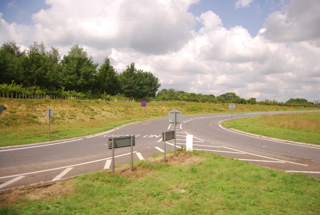
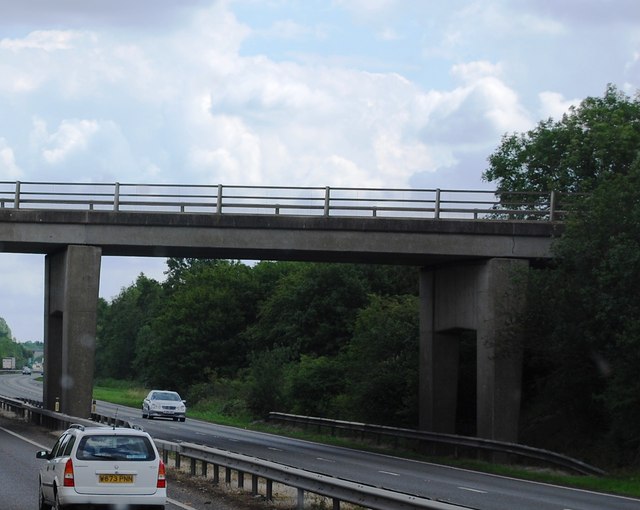
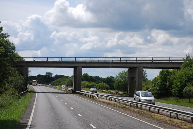
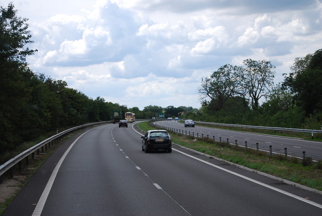
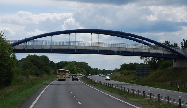
Attleborough is a market town located in the county of Norfolk, England. Situated approximately 16 miles south-west of Norwich, it has a population of around 10,500 residents. The town is conveniently positioned near the A11 road, which connects it to Norwich and Cambridge, making it easily accessible for commuters.
Historically, Attleborough was an important center for the wool and linen industries. Today, the town still retains some of its historic charm with a number of notable buildings, including the Grade I listed St. Mary's Church, which dates back to the 14th century. The town also features a traditional market square, where a weekly market is held, as well as several independent shops and cafes.
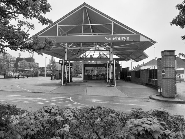
Despite its relatively small size, Attleborough offers a range of amenities and services to its residents. There are several schools in the area, including Attleborough Academy, which serves students aged 11 to 18. The town also has a leisure center with a swimming pool and sports facilities, as well as various parks and green spaces for outdoor activities.
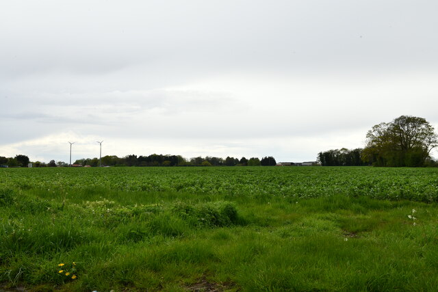
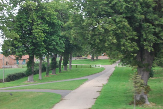
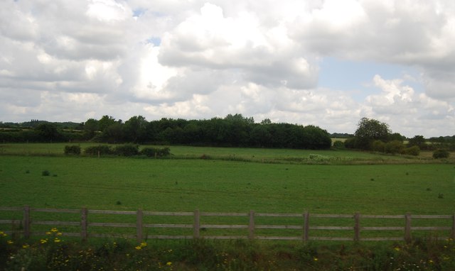
Attleborough is surrounded by picturesque countryside, making it an attractive location for nature lovers and outdoor enthusiasts. The nearby Breckland District offers opportunities for walking, cycling, and exploring the unique heathland landscape. Additionally, Thetford Forest, one of England's largest lowland forests, is just a short drive away.
Overall, Attleborough is a charming market town with a rich history and a range of amenities, making it a desirable place to live or visit in Norfolk.
If you have any feedback on the listing, please let us know in the comments section below.
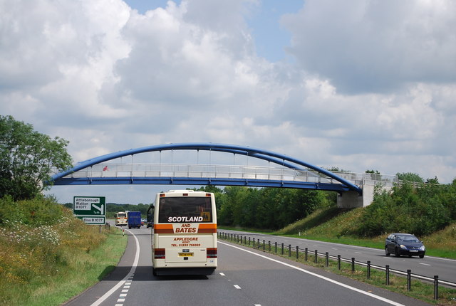
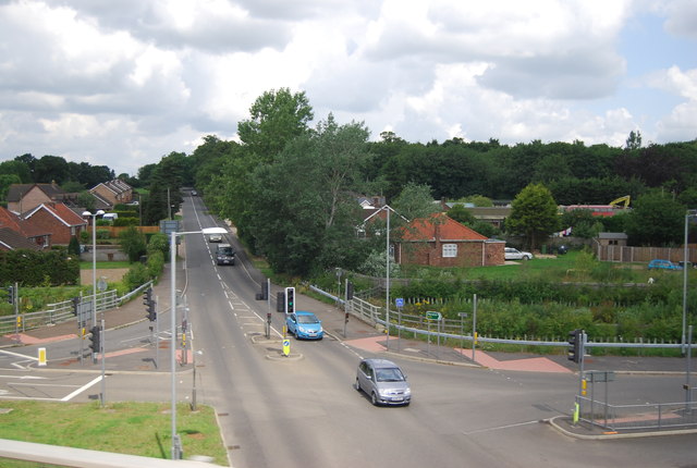
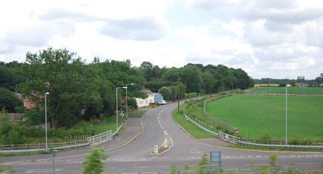
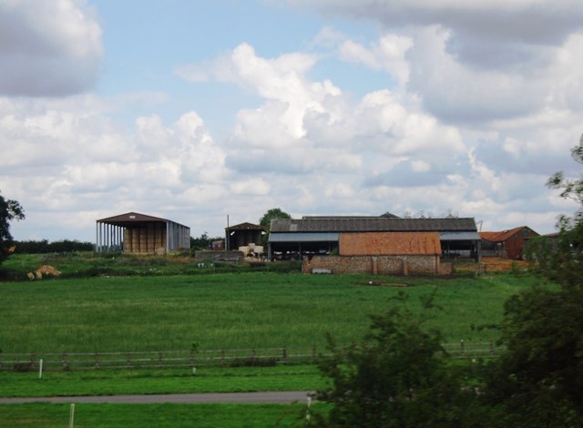
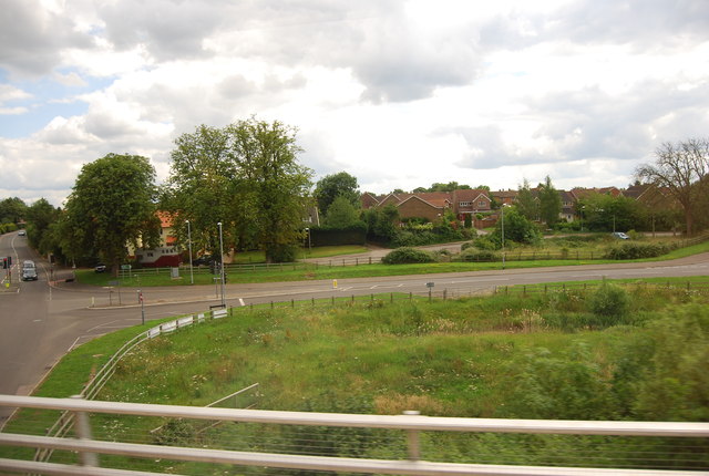
Attleborough Images
Images are sourced within 2km of 52.516436/1.0145611 or Grid Reference TM0495. Thanks to Geograph Open Source API. All images are credited.


Attleborough is located at Grid Ref: TM0495 (Lat: 52.516436, Lng: 1.0145611)
Administrative County: Norfolk
District: Breckland
Police Authority: Norfolk
What 3 Words
///hazelnuts.pencil.aquatics. Near Attleborough, Norfolk
Nearby Locations
Related Wikis

Attleborough
Attleborough is a market town and civil parish located on the A11 between Norwich and Thetford in Norfolk, England. The parish is in the district of Breckland...

Attleborough Academy
Attleborough Academy/Attleborough Academy Norfolk (AA/AAN) (formerly Attleborough High School) is a coeducational secondary school and sixth form with...
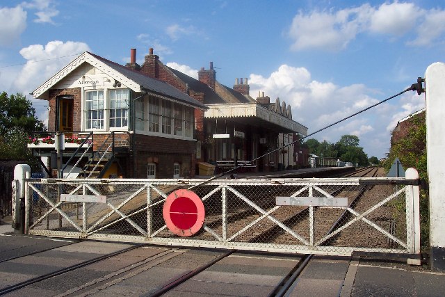
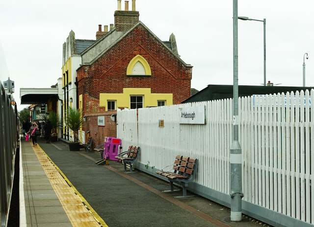
Attleborough railway station
Attleborough railway station is on the Breckland line in the east of England, serving the market town of Attleborough, Norfolk. The line runs between Cambridge...

Besthorpe, Norfolk
Besthorpe is a village and civil parish in the Breckland district of Norfolk, England, about a mile east of Attleborough, on the A11 road. According to...

Kingdom of East Anglia
The Kingdom of the East Angles (Old English: Ēastengla Rīċe; Latin: Regnum Orientalium Anglorum), today known as the Kingdom of East Anglia, was a small...

Iceni
The Iceni ( eye-SEEN-eye, Classical Latin: [ɪˈkeːniː]) or Eceni were an ancient tribe of eastern Britain during the Iron Age and early Roman era. Their...

East Anglia
East Anglia is an area in the East of England, often defined as including the counties of Norfolk, Suffolk and Cambridgeshire, and more rarely, Essex as...

Great Ellingham Windmill
Great Ellingham Windmill is a Grade II listed tower mill in Great Ellingham, Norfolk, England which has been converted to residential accommodation....
Nearby Amenities
Located within 500m of 52.516436,1.0145611Have you been to Attleborough?
Leave your review of Attleborough below (or comments, questions and feedback).