Attleborough

Civil Parish in Norfolk Breckland

England

Attleborough

Arriving at Attleborough Viewed on a journey between Thetford and Norwich on a dull summer day.
Arriving at Attleborough Credit: Mary and Angus Hogg

Attleborough is a civil parish located in the county of Norfolk, England. Situated approximately 15 miles southwest of the city of Norwich, it covers an area of around 13 square miles. The town of Attleborough, which serves as the administrative center of the parish, has a population of around 10,000.

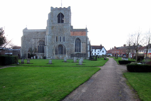
The area has a rich history, with evidence of human habitation dating back to the prehistoric era. In the medieval period, Attleborough grew into an important market town, thanks to its strategic location on the main road between Norwich and London.

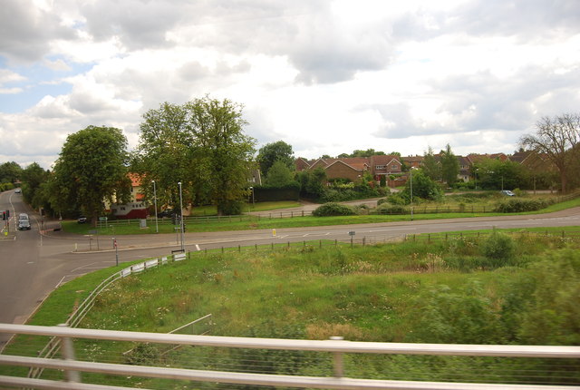
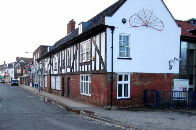
Today, Attleborough is a bustling town with a thriving community. It offers a range of amenities and services, including schools, healthcare facilities, shops, and leisure activities. The town center features a mix of historic buildings and modern developments, creating a unique blend of old and new.

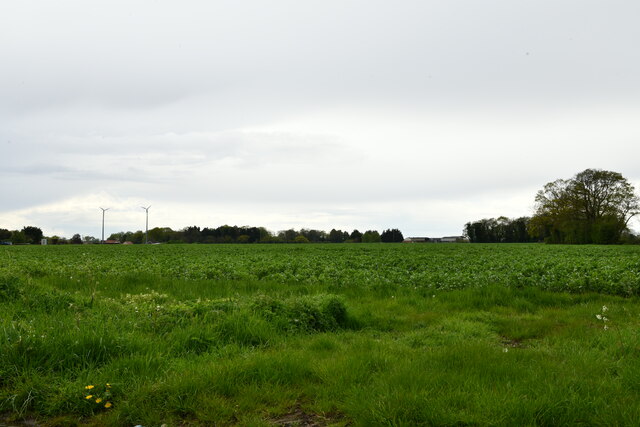
Nature enthusiasts can enjoy the surrounding countryside, which includes picturesque villages, meadows, and woodland areas. The town is also home to the Attleborough Heritage Museum, which showcases the area's history and heritage.

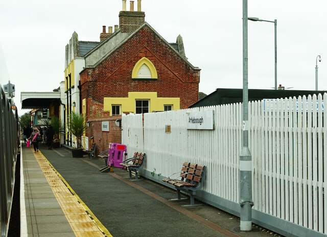
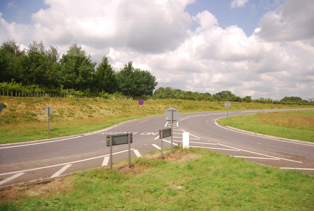
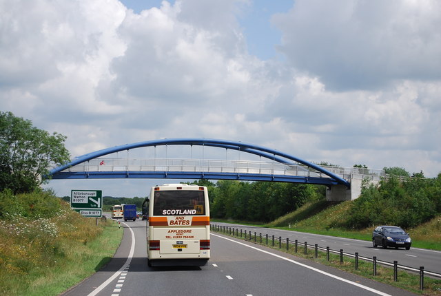
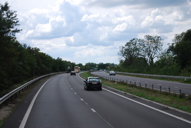
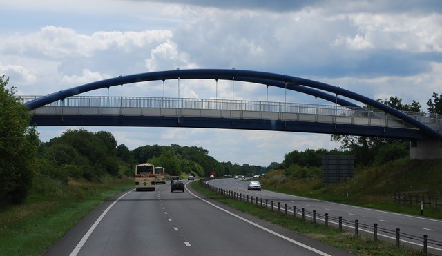
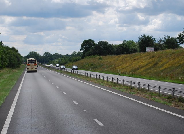
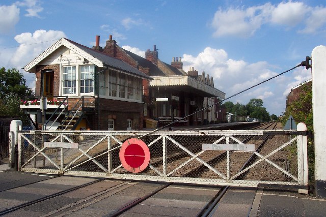
Transport links are excellent, with Attleborough conveniently located near major road networks, including the A11 and A47. The town has a railway station, providing direct connections to Norwich, Cambridge, and London.

Overall, Attleborough, Norfolk, offers a pleasant and vibrant environment for residents and visitors alike, combining its historical charm with modern amenities and easy access to surrounding areas.

If you have any feedback on the listing, please let us know in the comments section below.
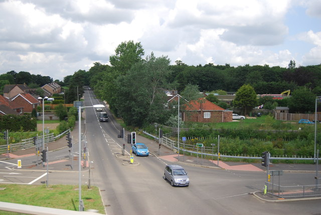
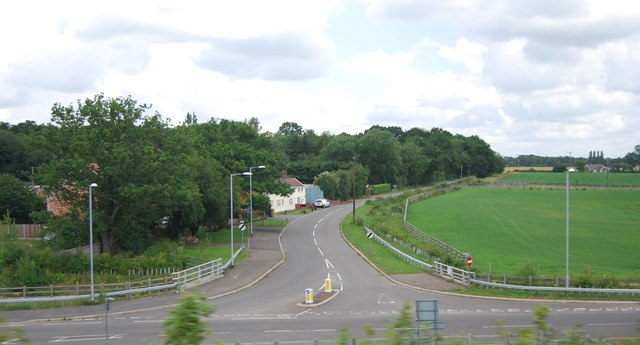
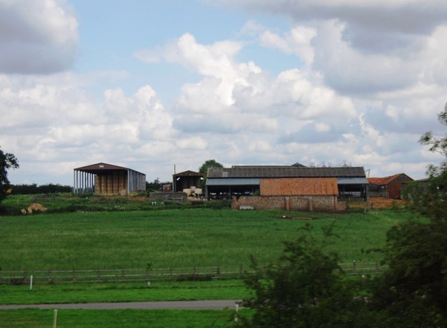
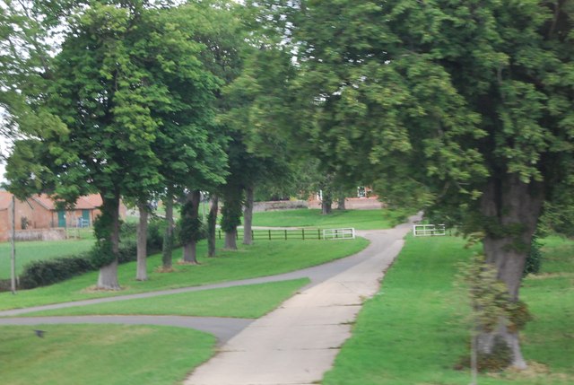
Attleborough Images

Images are sourced within 2km of 52.515431/1.005699 or Grid Reference TM0495. Thanks to Geograph Open Source API. All images are credited.

Arriving at Attleborough Viewed on a journey between Thetford and Norwich on a dull summer day.
Arriving at Attleborough
Viewed on a journey between Thetford and Norwich on a dull summer day.
Attleborough: Marketing suite for the new White House Park development
Attleborough: Crop and two wind turbines
Study of a Gasoline Station Sainsbury's, Attleborough.

 This photograph is part of a series taken in homage to the American artist Ed Ruscha's 1963 publication of 'Twentysix Gasoline Stations'.
 More properly known as filling stations in the UK, I am attempting to photograph as many as possible to mark the sixty year anniversary.
Study of a Gasoline Station
Sainsbury's, Attleborough. This photograph is part of a series taken in homage to the American artist Ed Ruscha's 1963 publication of 'Twentysix Gasoline Stations'. More properly known as filling stations in the UK, I am attempting to photograph as many as possible to mark the sixty year anniversary.
Study of a Gasoline Station Esso, Attleborough.

 This photograph is part of a series taken in homage to the American artist Ed Ruscha's 1963 publication of 'Twentysix Gasoline Stations'.
 More properly known as filling stations in the UK, I am attempting to photograph as many as possible to mark the sixty year anniversary.
Study of a Gasoline Station
Esso, Attleborough. This photograph is part of a series taken in homage to the American artist Ed Ruscha's 1963 publication of 'Twentysix Gasoline Stations'. More properly known as filling stations in the UK, I am attempting to photograph as many as possible to mark the sixty year anniversary.
Slip road off the A11, Workhouse Common
Footbridge across the A11
B1077, Attleborough The B1077 is a 57 mile long rural road from Ipswich to Swaffham.
It starts in Ipswich town centre and heads north. It crosses a railway line via a level crossing in Westerfield and then crosses the B1078 near Ashbocking. At Peats Corner it multiplexes west along the A1120 for a short distance before regaining its number and going through Debenham and Eye before crossing the River Waveney into Norfolk and reaching the A1066 on the edge of Diss.
The B1077 continued west from Caston into Watton and thence to Swaffham. During World War II, the road was diverted to Carbrooke Hall as the original road was severed by the building of RAF Watton. The Watton to Swaffham road was declassified in the 1990s.
B1077, Attleborough
The B1077 is a 57 mile long rural road from Ipswich to Swaffham. It starts in Ipswich town centre and heads north. It crosses a railway line via a level crossing in Westerfield and then crosses the B1078 near Ashbocking. At Peats Corner it multiplexes west along the A1120 for a short distance before regaining its number and going through Debenham and Eye before crossing the River Waveney into Norfolk and reaching the A1066 on the edge of Diss. The B1077 continued west from Caston into Watton and thence to Swaffham. During World War II, the road was diverted to Carbrooke Hall as the original road was severed by the building of RAF Watton. The Watton to Swaffham road was declassified in the 1990s.
Deopham Rd, Baconthorpe
Farm buildings, Attleborough Hall
Driveway to Attleborough Hall
Sweeping curve, A11 The A11 is a major road in Eastern England. It runs roughly north east for 111 miles from London to Norwich, With the M11 opening in the 1970s and then the A12 extension in 1999, a lengthy section has been downgraded between the suburbs of east London and the north-west corner of the county of Essex. It also overlaps with the A14 on the Newmarket bypass.
<span class="nowrap"><a title="http://www.sabre-roads.org.uk/wiki/index.php?title=A11" rel="nofollow ugc noopener" href="http://www.sabre-roads.org.uk/wiki/index.php?title=A11">Link</a><img style="margin-left:2px;" alt="External link" title="External link - shift click to open in new window" src="https://s1.geograph.org.uk/img/external.png" width="10" height="10"/></span>
Sweeping curve, A11
The A11 is a major road in Eastern England. It runs roughly north east for 111 miles from London to Norwich, With the M11 opening in the 1970s and then the A12 extension in 1999, a lengthy section has been downgraded between the suburbs of east London and the north-west corner of the county of Essex. It also overlaps with the A14 on the Newmarket bypass. LinkExternal link
Slip road off Queen's Rd
Mast by the A11
Mast by the A11
Footbridge over the A11 The A11 is a major road in Eastern England. It runs roughly north east for 111 miles from London to Norwich, With the M11 opening in the 1970s and then the A12 extension in 1999, a lengthy section has been downgraded between the suburbs of east London and the north-west corner of the county of Essex. It also overlaps with the A14 on the Newmarket bypass.
<span class="nowrap"><a title="http://www.sabre-roads.org.uk/wiki/index.php?title=A11" rel="nofollow ugc noopener" href="http://www.sabre-roads.org.uk/wiki/index.php?title=A11">Link</a><img style="margin-left:2px;" alt="External link" title="External link - shift click to open in new window" src="https://s1.geograph.org.uk/img/external.png" width="10" height="10"/></span>
Footbridge over the A11
The A11 is a major road in Eastern England. It runs roughly north east for 111 miles from London to Norwich, With the M11 opening in the 1970s and then the A12 extension in 1999, a lengthy section has been downgraded between the suburbs of east London and the north-west corner of the county of Essex. It also overlaps with the A14 on the Newmarket bypass. LinkExternal link
The A11 southbound The A11 is a major road in Eastern England. It runs roughly north east for 111 miles from London to Norwich, With the M11 opening in the 1970s and then the A12 extension in 1999, a lengthy section has been downgraded between the suburbs of east London and the north-west corner of the county of Essex. It also overlaps with the A14 on the Newmarket bypass.
<span class="nowrap"><a title="http://www.sabre-roads.org.uk/wiki/index.php?title=A11" rel="nofollow ugc noopener" href="http://www.sabre-roads.org.uk/wiki/index.php?title=A11">Link</a><img style="margin-left:2px;" alt="External link" title="External link - shift click to open in new window" src="https://s1.geograph.org.uk/img/external.png" width="10" height="10"/></span>
The A11 southbound
The A11 is a major road in Eastern England. It runs roughly north east for 111 miles from London to Norwich, With the M11 opening in the 1970s and then the A12 extension in 1999, a lengthy section has been downgraded between the suburbs of east London and the north-west corner of the county of Essex. It also overlaps with the A14 on the Newmarket bypass. LinkExternal link
Shops on Church Street
St Mary's church Attleborough
Show me another place!

Attleborough is located at Grid Ref: TM0495 (Lat: 52.515431, Lng: 1.005699)

Administrative County: Norfolk

District: Breckland

Police Authority: Norfolk

What 3 Words

///reverses.saints.shapeless. Near Attleborough, Norfolk

Nearby Locations

Attleborough Attleborough

Related Wikis

Nearby Amenities

Located within 500m of 52.515431,1.005699
Attleborough
Name Ru: Атлборо
Place: town
Wikidata: Q1975526
Wikipedia: en:Attleborough
Lat/Long: 52.5179648/1.0105931
Fixme: check access from here. Certainly no road joining the A11
Lat/Long: 52.518725/1.0017968
Bus Stop
West Carr Road, adj
Naptan AtcoCode: 2900A1824
Naptan Bearing: NE
Naptan BusStopType: CUS
Naptan CommonName: West Carr Road
Naptan Indicator: adj
Naptan Landmark: West Carr Road
Naptan Locality: Attleborough
Naptan NaptanCode: nfoadjmt
Naptan ShortCommonName: West Carr Rd
Naptan Street: London Road
Naptan Verified: no
Source: naptan_import
Lat/Long: 52.5116082/1.0030548
Bus Stop
Short Road, opp
Naptan AtcoCode: 2900A1827
Naptan Bearing: W
Naptan CommonName: Short Road
Naptan Indicator: opp
Naptan Landmark: Short Road
Naptan Locality: Attleborough
Naptan NaptanCode: nfoadjpd
Naptan ShortCommonName: Short Rd
Naptan Street: Cyprus Road
Source: naptan_import
Lat/Long: 52.5181092/1.0078533
Bus Stop
Watling Road, adj
Naptan AtcoCode: 2900A1837
Naptan Bearing: N
Naptan CommonName: Watling Road
Naptan Indicator: adj
Naptan Landmark: Watling Road
Naptan Locality: Attleborough
Naptan NaptanCode: nfoadjtm
Naptan ShortCommonName: Watling Rd
Naptan Street: Sheppard Way
Naptan Verified: no
Source: naptan_import
Lat/Long: 52.5142495/1.0063454
Bus Stop
Lavender Close, adj
Naptan AtcoCode: 2900A1839
Naptan Bearing: N
Naptan CommonName: Lavender Close
Naptan Indicator: adj
Naptan Landmark: Lavender Close
Naptan Locality: Attleborough
Naptan NaptanCode: nfoadjtw
Naptan ShortCommonName: Lavender Close
Naptan Street: Springfields
Source: naptan_import
Lat/Long: 52.5170599/1.0047536
Bus Stop
police station, opp
Naptan AtcoCode: 2900A1846
Naptan Bearing: NE
Naptan BusStopType: CUS
Naptan CommonName: police station
Naptan Indicator: opp
Naptan Landmark: police station
Naptan Locality: Attleborough
Naptan NaptanCode: nfoadjwp
Naptan ShortCommonName: police station
Naptan Street: London Road
Naptan Verified: no
Source: naptan_import
Lat/Long: 52.5124753/1.0046765
Post Box
Collection Times: Mo-Fr 17:15; Sa 11:30
Post Box Mounting: pier
Post Box Type: lamp
Ref: NR17 1736
Royal Cypher: EIIR
Royal Cypher Wikidata: Q33102113
Lat/Long: 52.511556/1.0029633
Turning Circle
Source: Bing
Lat/Long: 52.5142786/1.0054313
Turning Circle
Lat/Long: 52.5162971/1.0035139
Priority: equal
Lat/Long: 52.5120998/1.0043421
Turning Circle
Source: Bing
Lat/Long: 52.5151796/1.0078668
Turning Circle
Source: Bing
Lat/Long: 52.5138509/1.0054313
Turning Circle
Lat/Long: 52.5183531/1.0109869
Turning Circle
Source: Bing
Lat/Long: 52.5150753/1.0025011
Source: Bing
Lat/Long: 52.5138868/0.9996055
Source: Bing
Lat/Long: 52.5143568/0.9989758
Turning Circle
Source: Bing
Lat/Long: 52.5142786/0.9989673
Source: Bing
Lat/Long: 52.5144614/0.999391
Source: Bing
Lat/Long: 52.5147356/1.003822
Turning Circle
Source: Bing
Lat/Long: 52.5154733/1.0102298
Turning Circle
Source: Bing
Lat/Long: 52.5136732/1.0103716
Barrier: bollard
Source: NPE
Lat/Long: 52.5187898/1.0053469
Fixme: Looks like a new housing development from Bing
Lat/Long: 52.5167202/1.0008298
Post Box
Collection Times: Mo-Fr 09:00; Sa 07:00
Post Box Mounting: pier
Post Box Type: lamp
Ref: NR17 1738D
Royal Cypher: EIIR
Royal Cypher Wikidata: Q33102113
Lat/Long: 52.5127163/1.0111692
Telephone
Booth: KX100
Covered: booth
Lat/Long: 52.5127326/1.0111236
Turning Circle
Source: Bing
Lat/Long: 52.5143774/0.9989236
Turning Circle
Lat/Long: 52.5144959/0.9994647
Post Box
Collection Times: Mo-Fr 09:00; Sa 07:00
Post Box Mounting: pier
Post Box Type: lamp
Ref: NR17 1737D
Royal Cypher: EIIR
Royal Cypher Wikidata: Q33102113
Lat/Long: 52.5187433/1.0101896
Post Box
Collection Times: Mo-Fr 09:00; Sa 07:00
Post Box Mounting: pier
Post Box Type: lamp
Ref: NR17 1748D
Royal Cypher: EIIR
Royal Cypher Wikidata: Q33102113
Lat/Long: 52.5153726/1.0059437
Turning Circle
Source: Bing
Lat/Long: 52.517657/1.0081879
Give Way
Lat/Long: 52.5113649/1.0028701
Give Way
Direction: forward
Lat/Long: 52.512203/1.0042055
Material: wood
Power: pole
Lat/Long: 52.5183533/1.0007536
Power: pole
Lat/Long: 52.5185304/1.0003754
Social Facility
Thetford Food Bank
Addr City: Attleborough
Addr Housename: Attleborough Methodist Church
Addr Postcode: NR17 2BX
Addr Street: London Road
Fhrs Id: 929261
Note: This really is called Thetford Food Bank, despite being in Attleborough.
Opening Hours: Sa 10:30-11:30
Social Facility: food_bank
Source Addr: FSA Food Hygiene Ratings Database
Url: https://www.trusselltrust.org/get-help/find-a-foodbank/thetford/
Lat/Long: 52.5147167/1.0112622
Generator Method: photovoltaic
Generator Output Electricity: yes
Generator Source: solar
Generator Type: solar_photovoltaic_panel
Location: roof
Power: generator
Lat/Long: 52.5110693/1.0063541
Generator Method: photovoltaic
Generator Output Electricity: yes
Generator Source: solar
Generator Type: solar_photovoltaic_panel
Location: roof
Power: generator
Lat/Long: 52.5115214/1.0057238
Generator Method: photovoltaic
Generator Output Electricity: yes
Generator Source: solar
Generator Type: solar_photovoltaic_panel
Location: roof
Power: generator
Lat/Long: 52.511799/1.0056379
Generator Method: photovoltaic
Generator Output Electricity: yes
Generator Source: solar
Generator Type: solar_photovoltaic_panel
Location: roof
Power: generator
Lat/Long: 52.5116647/1.0026493
Generator Method: photovoltaic
Generator Output Electricity: yes
Generator Source: solar
Generator Type: solar_photovoltaic_panel
Location: roof
Power: generator
Lat/Long: 52.5140434/1.0025105
Generator Method: photovoltaic
Generator Output Electricity: yes
Generator Source: solar
Generator Type: solar_photovoltaic_panel
Location: roof
Power: generator
Lat/Long: 52.5139422/1.0026365
Generator Method: photovoltaic
Generator Output Electricity: yes
Generator Source: solar
Generator Type: solar_photovoltaic_panel
Location: roof
Power: generator
Lat/Long: 52.5126641/1.0080224
Generator Method: photovoltaic
Generator Output Electricity: yes
Generator Source: solar
Generator Type: solar_photovoltaic_panel
Location: roof
Power: generator
Lat/Long: 52.5123491/1.0090148
Generator Method: photovoltaic
Generator Output Electricity: yes
Generator Source: solar
Generator Type: solar_photovoltaic_panel
Location: roof
Power: generator
Lat/Long: 52.5122642/1.0081056
Generator Method: photovoltaic
Generator Output Electricity: yes
Generator Source: solar
Generator Type: solar_photovoltaic_panel
Location: roof
Power: generator
Lat/Long: 52.5123344/1.0082746
Generator Method: photovoltaic
Generator Output Electricity: yes
Generator Source: solar
Generator Type: solar_photovoltaic_panel
Location: roof
Power: generator
Lat/Long: 52.5118267/1.0083443
Generator Method: photovoltaic
Generator Output Electricity: yes
Generator Source: solar
Generator Type: solar_photovoltaic_panel
Location: roof
Power: generator
Lat/Long: 52.5130608/1.0033822
Crossing: traffic_signals
Crossing Ref: toucan
Lat/Long: 52.515021/1.0108543
The data included in this document is from www.openstreetmap.org. The data is made available under ODbL.

Have you been to Attleborough?

Leave your review of Attleborough below (or comments, questions and feedback).