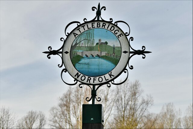
Attlebridge
Civil Parish in Norfolk Broadland
England
Attlebridge
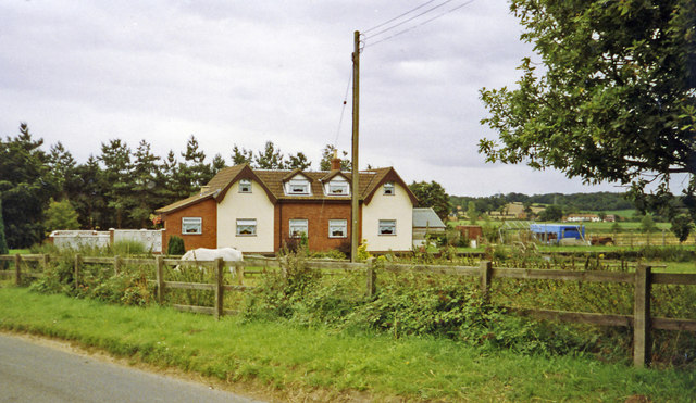
Attlebridge is a civil parish located in Norfolk, England. It is a small village situated approximately 10 miles northwest of the city of Norwich. The parish covers an area of about 3 square miles and is home to a population of around 400 people.
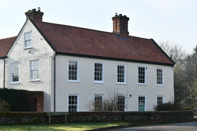
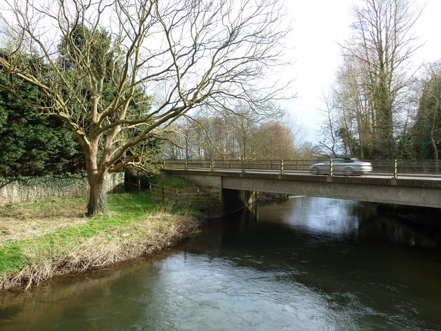
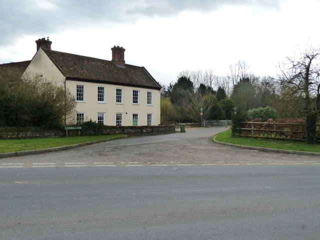
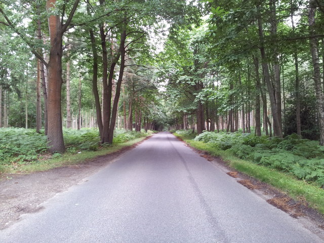
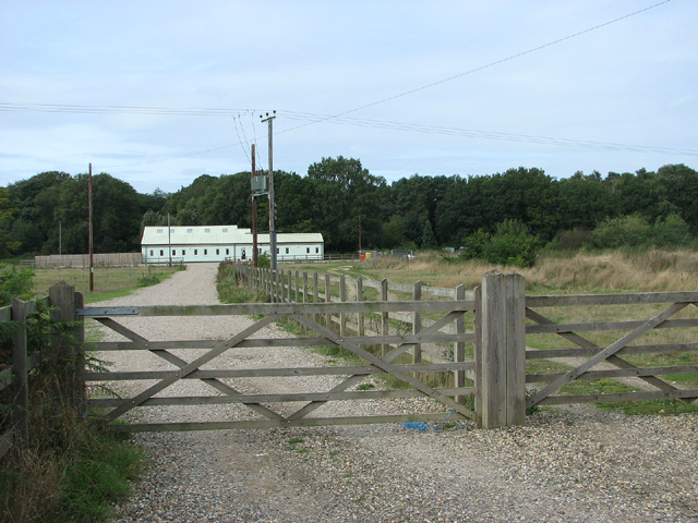
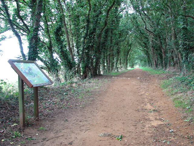
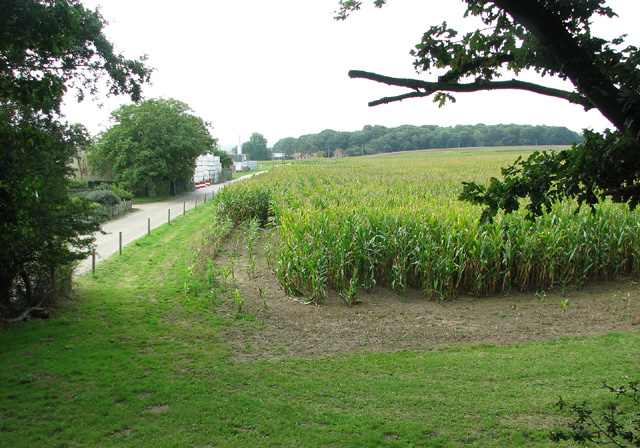
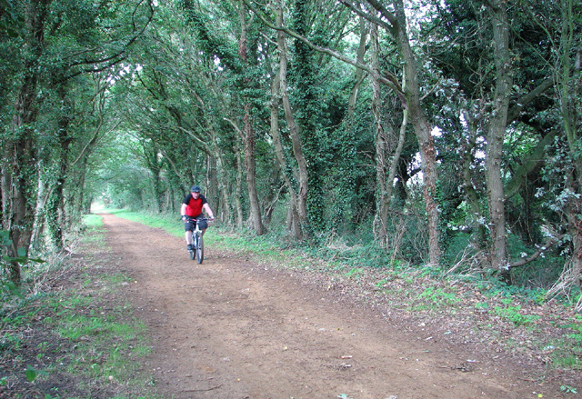
The village of Attlebridge is surrounded by picturesque countryside, with fields and woodlands dominating the landscape. The River Wensum flows through the parish, adding to the natural beauty of the area. The village itself is characterized by a mix of traditional brick and thatched-roof houses, giving it a charming and timeless feel.
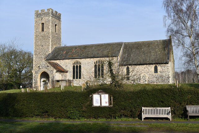
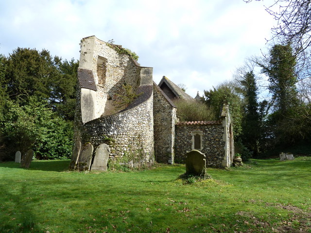
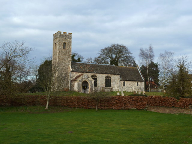
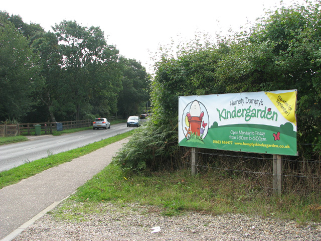
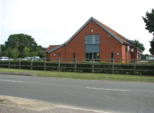
Despite its small size, Attlebridge boasts a strong sense of community. The village has a primary school, providing education for local children, and a village hall that serves as a hub for various social and recreational activities. The village also has a church, St. Andrew's, which dates back to the 14th century and is an important historical landmark.
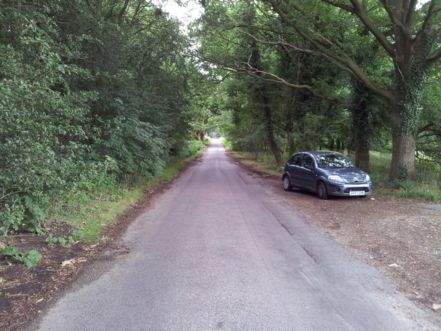
Attlebridge is well-connected to nearby towns and cities. The A1067 road runs through the parish, providing easy access to Norwich and the surrounding areas. The village is also served by public transportation, with regular bus services connecting it to Norwich and other nearby towns.
Overall, Attlebridge offers a peaceful and idyllic setting for residents and visitors alike. Its natural beauty, strong community spirit, and convenient location make it an attractive place to live or visit in Norfolk.
If you have any feedback on the listing, please let us know in the comments section below.
Attlebridge Images
Images are sourced within 2km of 52.700863/1.167483 or Grid Reference TG1416. Thanks to Geograph Open Source API. All images are credited.
Attlebridge is located at Grid Ref: TG1416 (Lat: 52.700863, Lng: 1.167483)
Administrative County: Norfolk
District: Broadland
Police Authority: Norfolk
What 3 Words
///remember.universes.tasters. Near Horsford, Norfolk
Nearby Locations
Related Wikis

Attlebridge
Attlebridge is a village and civil parish in the English county of Norfolk. It is situated about 8 miles (13 km) north-west of Norwich, where the A1067...

1966 Felthorpe Trident crash
On 3 June 1966, a newly built Hawker Siddeley Trident jetliner crashed during a pre-delivery test flight near the village of Felthorpe, Norfolk, England...

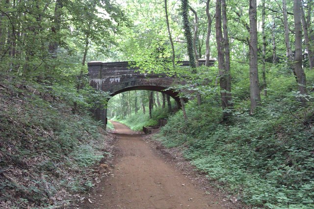
Attlebridge railway station
Attlebridge railway station is a closed station in Norfolk, England. It served the small village of Attlebridge. It was constructed by the Midland and...

Swannington Upgate Common
Swannington Upgate Common is a 20.5-hectare (51-acre) biological Site of Special Scientific Interest north-west of Norwich in Norfolk.This site has varied...

Taverham High School
Taverham High School is a secondary school and sixth form with academy status, located in Taverham in the English county of Norfolk. As well as serving...

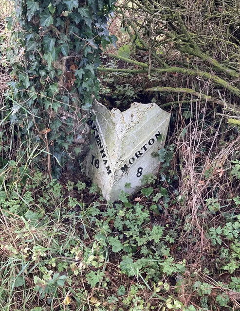
Morton on the Hill
Morton on the Hill is a small but scattered village and civil parish in the English county of Norfolk, about 8 miles (13 km) north-west of Norwich. The...

Broadland (UK Parliament constituency)
Broadland is a Norfolk constituency, which has been represented in the House of Commons of the UK Parliament since the 2019 general election by Jerome...

Ringland, Norfolk
Ringland is a village and civil parish in Norfolk, England, and in the valley of the River Wensum, approximately 7 miles (11 km) north-west of Norwich...
Nearby Amenities
Located within 500m of 52.700863,1.167483Have you been to Attlebridge?
Leave your review of Attlebridge below (or comments, questions and feedback).