Atwick

Civil Parish in Yorkshire

England

Atwick

The beach at Double Gates
The beach at Double Gates Credit: Ian S

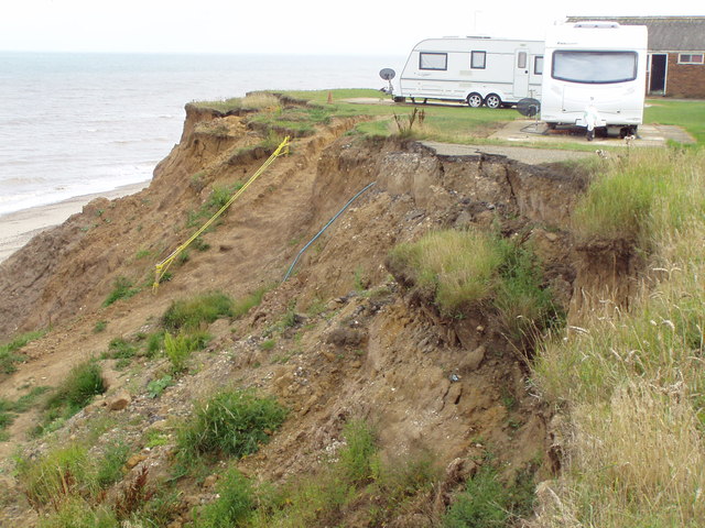
Atwick is a civil parish located in the East Riding of Yorkshire, England. Situated on the Holderness Coast, it lies approximately 11 miles northeast of the city of Hull. The village of Atwick itself is a small, rural settlement with a population of around 300 people.

The area is known for its beautiful countryside, with rolling hills and picturesque views. It is surrounded by agricultural land, which has traditionally been used for farming. The parish is home to several farms, which contribute to the local economy and provide employment opportunities for residents.

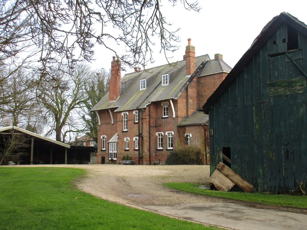
Atwick has a rich history, with evidence of human habitation dating back to the Iron Age. The village is famous for its Grade I listed parish church, St. Lawrence's Church, which dates back to the 12th century. The church is a notable landmark in the area and attracts visitors interested in historical architecture.

Despite its small size, Atwick offers a range of amenities for residents and visitors. These include a village hall, a primary school, and a community center. The village also has a pub, The Ship Inn, which serves as a social hub for locals and visitors alike.

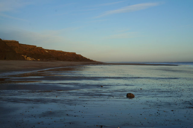
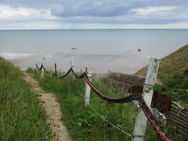
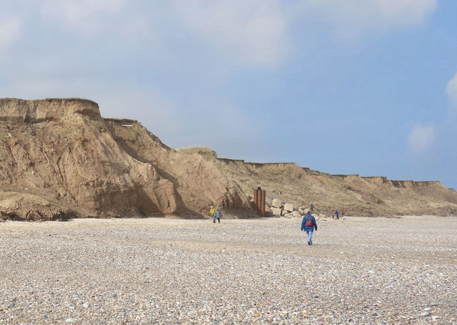
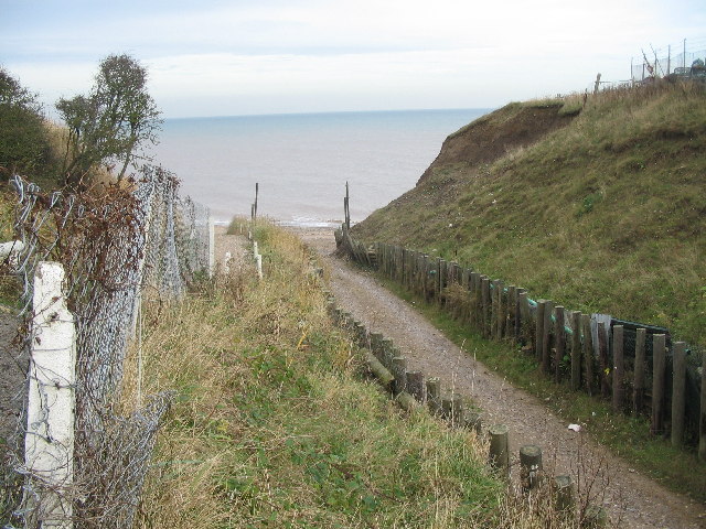
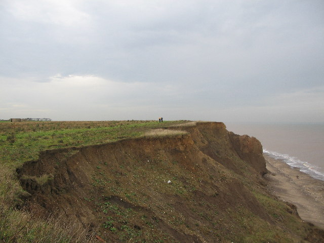
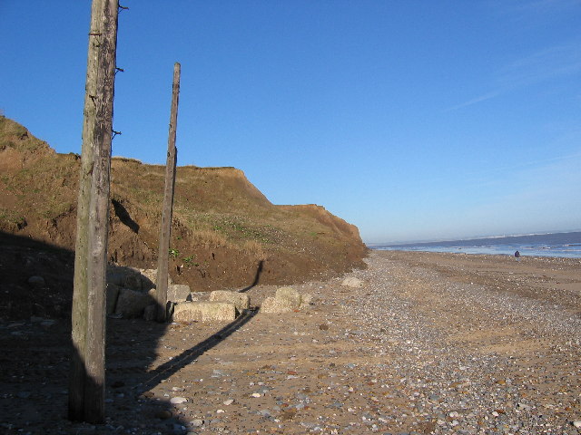
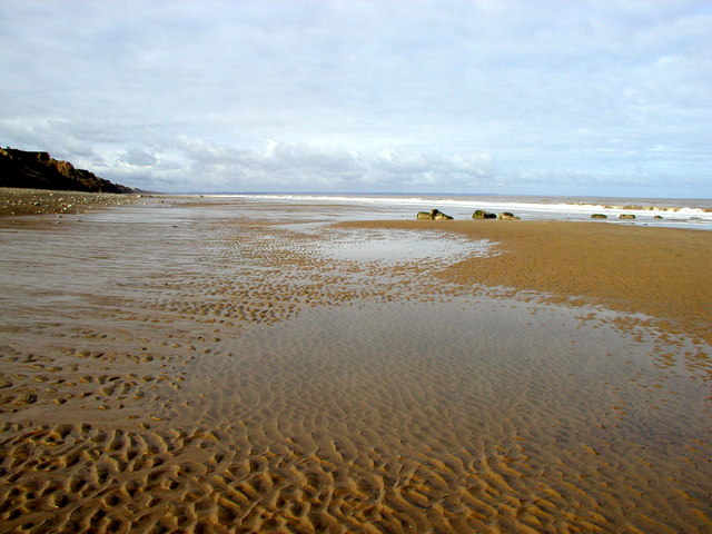
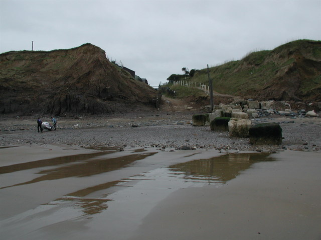
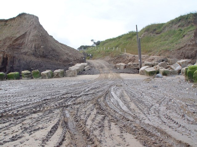
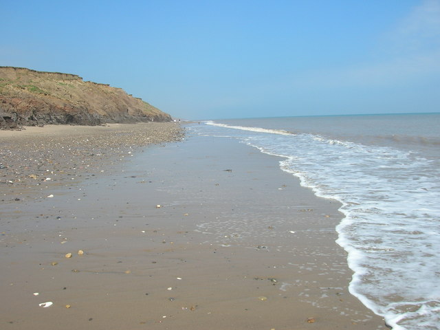
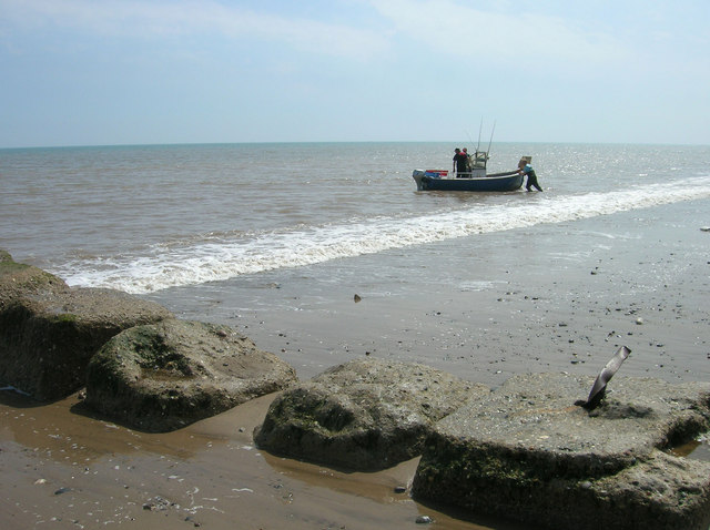
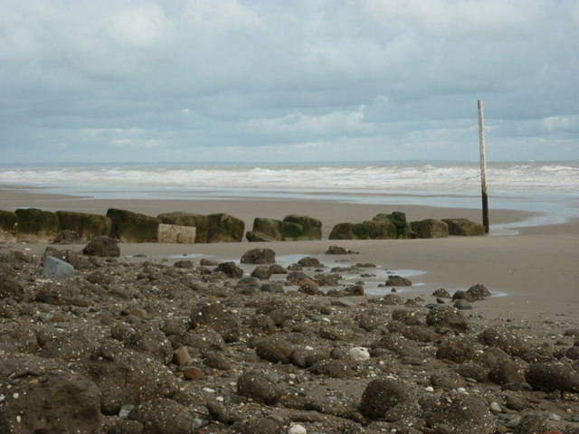
The surrounding area provides opportunities for outdoor activities, such as walking, cycling, and birdwatching. The nearby coast offers stunning views and is a popular destination for nature lovers.

Overall, Atwick is a charming rural parish with a strong sense of community and a rich historical heritage.

If you have any feedback on the listing, please let us know in the comments section below.

Atwick Images

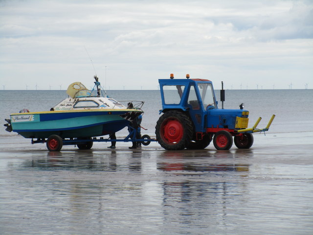
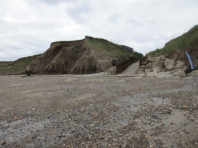
Images are sourced within 2km of 53.944154/-0.191177 or Grid Reference TA1851. Thanks to Geograph Open Source API. All images are credited.

The beach at Double Gates
Ready to launch This boat has been towed down from the Northcliff Boating Club site on the cliff top and is about to be pushed into the sea.
Ready to launch
This boat has been towed down from the Northcliff Boating Club site on the cliff top and is about to be pushed into the sea.
Beach access, Double Gates For the use of the Northcliff Boating Club. Anyone else has to scramble down the cliff as best they can.
Beach access, Double Gates
For the use of the Northcliff Boating Club. Anyone else has to scramble down the cliff as best they can.
The beach at Double Gates
Beach and Cliffs at Double Gates There is now very little land apart from beach left in TA2050. This is the extreme south west of the square.
Beach and Cliffs at Double Gates
There is now very little land apart from beach left in TA2050. This is the extreme south west of the square.
Double Gates Looking down the sailing club slipway to the area of beach known as Double Gates, although not much beach is visible at high tide! I assume the name comes from the open gates at the bottom of the slip, and the closed gates at the top of the slip, just behind the photographer position.
Double Gates
Looking down the sailing club slipway to the area of beach known as Double Gates, although not much beach is visible at high tide! I assume the name comes from the open gates at the bottom of the slip, and the closed gates at the top of the slip, just behind the photographer position.
Double Gates beach Looking north from the clifftop adjacent to the sailing club slipway at Double Gates, the soft nature of the cliffs can be seen. The section at centre right has been undermined and seems about to collapse onto the beach.
Double Gates beach
Looking north from the clifftop adjacent to the sailing club slipway at Double Gates, the soft nature of the cliffs can be seen. The section at centre right has been undermined and seems about to collapse onto the beach.
Beach  at Double Gates What you see here is just about all of the solid ground in this grid square. This view looking north from the SW corner of the square at TA2001350091. To the left are the twin posts of the North Cliff Boating Club slipway.
Beach at Double Gates
What you see here is just about all of the solid ground in this grid square. This view looking north from the SW corner of the square at TA2001350091. To the left are the twin posts of the North Cliff Boating Club slipway.
Atwick Beach Taken looking northwards towards the Bridlington Bay and Flamborough Head.
Atwick Beach
Taken looking northwards towards the Bridlington Bay and Flamborough Head.
Double Gates Beach The beach at Double Gates on the parish boundary between Atwick and Hornsea, looking southwest towards the boatyard slipway.
Double Gates Beach
The beach at Double Gates on the parish boundary between Atwick and Hornsea, looking southwest towards the boatyard slipway.
Double Gates Slipway and Beach Several craft had been towed by tractor to the water, hence the tyre marks.  The large stone blocks are an attempt to delay the erosion of the clay cliffs.
Double Gates Slipway and Beach
Several craft had been towed by tractor to the water, hence the tyre marks. The large stone blocks are an attempt to delay the erosion of the clay cliffs.
Double Gates Beach
Double Gates Beach
Coastal Defences, Double Gates
The beach at Double Gates
The Black Horse, Atwick
Cliff Road closed Presumably due to coastal erosion.
Cliff Road closed
Presumably due to coastal erosion.
End of the road
End of the road
Who's next to go? Caravan site and road facing erosion
Who's next to go?
Caravan site and road facing erosion
Show me another place!

Atwick is located at Grid Ref: TA1851 (Lat: 53.944154, Lng: -0.191177)

Division: East Riding

Unitary Authority: East Riding of Yorkshire

Police Authority: Humberside

What 3 Words

///prominent.hampers.lilac. Near Atwick, East Yorkshire

Related Wikis

Atwick

Atwick is a village and civil parish in Holderness in the East Riding of Yorkshire, England. The village is near the North Sea coast, and 2 miles (3.2...

Skirlington

Skirlington is a hamlet in the Holderness area of the East Riding of Yorkshire, England. It is situated approximately 3.5 miles (5.6 km) north of Hornsea...

Bewholme Vicarage

Bewholme Vicarage, in the village of Bewholme, East Riding of Yorkshire, England, is a former vicarage designed by the architect William Burges in 1859...

Bewholme

Bewholme is a village and civil parish in the East Riding of Yorkshire, England. It is situated approximately 3 miles (4.8 km) north-west of the town of...

Nearby Amenities

Located within 500m of 53.944154,-0.191177
Atwick
Is In: East Riding of Yorkshire, England, UK
Place: village
Population: 315
Source: npe
Lat/Long: 53.9413281/-0.1897957
Telephone
Booth: K6
Covered: booth
Listed Status: Grade II
Operator: BT
Phone: +44 1964 532138
Lat/Long: 53.9402607/-0.1880691
Bench
Lat/Long: 53.9403783/-0.19245
Bench
Lat/Long: 53.9404435/-0.1883161
Bus Stop
Atwick Skipsea Road
Naptan AtcoCode: 2200YEA01122
Naptan Bearing: E
Naptan CommonName: Atwick Skipsea Road
Naptan Street: Church Lane
Naptan Verified: no
Source: naptan_import
Lat/Long: 53.9401853/-0.1880739
Post Box
Collection Times: Mo-Fr 16:15; Sa 10:30
Post Box Type: wall
Ref: YO25 352
Royal Cypher: EIIR
Royal Cypher Wikidata: Q33102113
Lat/Long: 53.9402984/-0.1877963
Historic: memorial
Note: base of stone cross
Lat/Long: 53.9404109/-0.1877842
Material: wood
Power: tower
Transformer: distribution
Lat/Long: 53.9401626/-0.1932573
The data included in this document is from www.openstreetmap.org. The data is made available under ODbL.

Have you been to Atwick?

Leave your review of Atwick below (or comments, questions and feedback).