Atworth

Civil Parish in Wiltshire

England

Atworth

What are you searching for this summer? Some fuel and a bite, perchance?
What are you searching for this summer? Credit: Neil Owen

Atworth is a civil parish located in the county of Wiltshire, England. Situated about 8 miles northwest of the city of Bath, Atworth is a small village with a population of around 1,000 residents. The parish is primarily a residential area, with a mix of historic and modern houses.

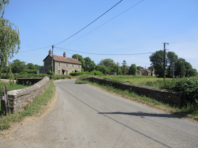
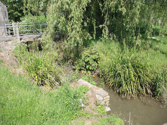
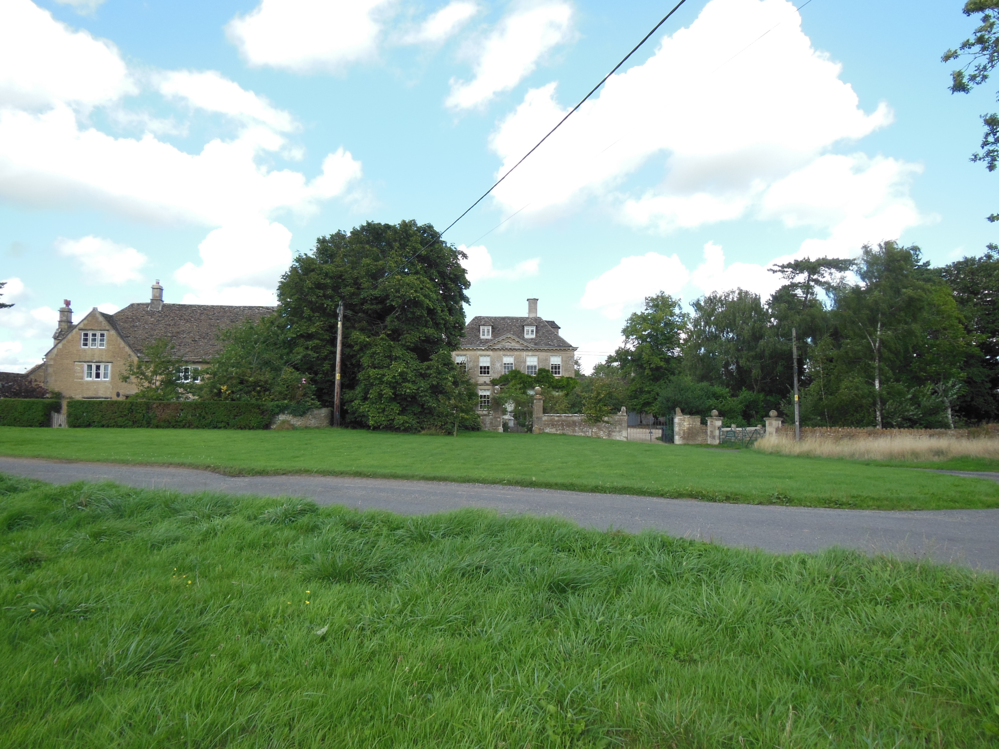
Atworth is known for its picturesque countryside and charming atmosphere. Surrounded by rolling hills and farmland, the village offers a peaceful and idyllic setting. The area has a rich history, with evidence of human habitation dating back to the Roman era.

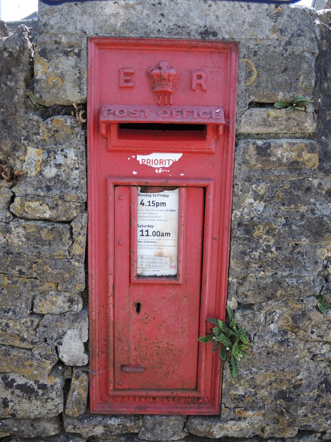
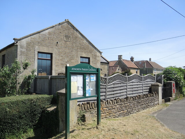
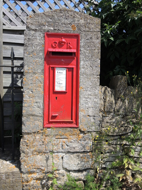
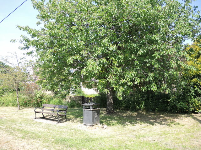
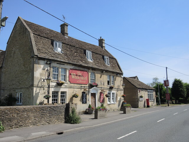
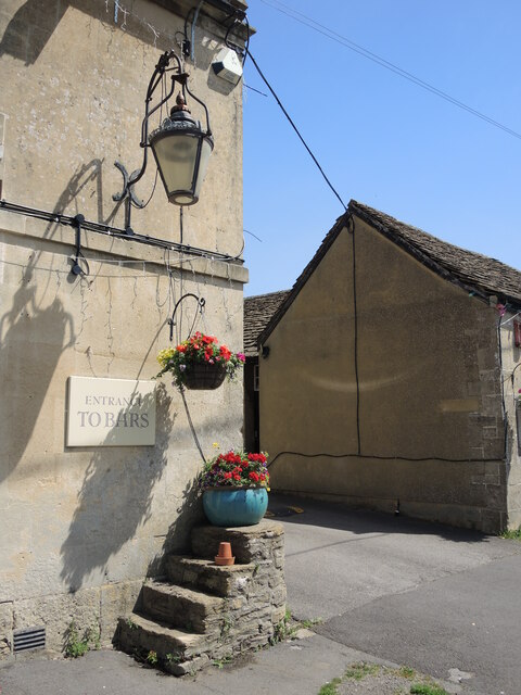
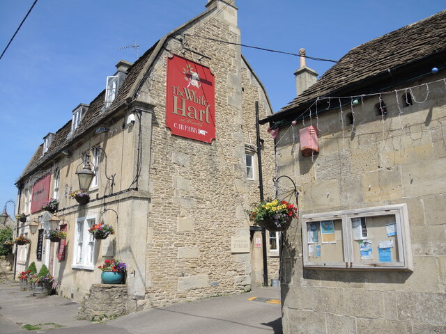
The village has a few amenities to cater to its residents' needs. These include a village hall, a primary school, a pub, and a post office. Atworth also has a cricket club and a football club, providing recreational opportunities for sports enthusiasts.

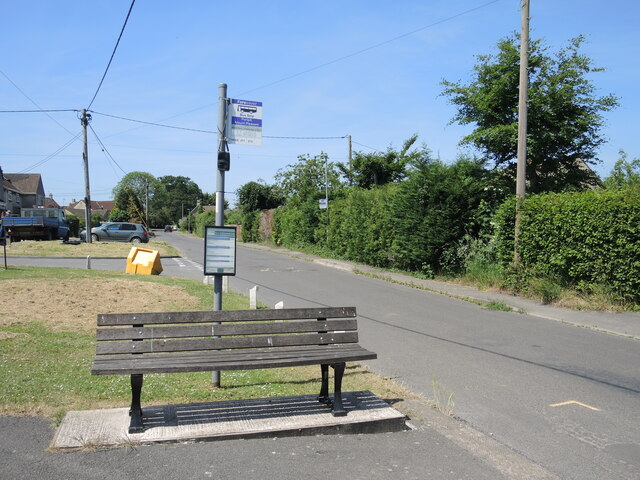
Transport links in Atworth are convenient, with regular bus services connecting the village to nearby towns and cities. The village is also well-connected by road, with the A365 passing through, providing easy access to surrounding areas.

The surrounding countryside offers ample opportunities for outdoor activities, such as hiking, cycling, and horse riding. Nearby attractions include the historic city of Bath, famous for its Roman baths and Georgian architecture, which is easily reachable by car or public transport.

Overall, Atworth is a peaceful and picturesque village, offering a rural lifestyle with easy access to nearby towns and cities.

If you have any feedback on the listing, please let us know in the comments section below.

Atworth Images

Images are sourced within 2km of 51.38512/-2.204861 or Grid Reference ST8565. Thanks to Geograph Open Source API. All images are credited.

What are you searching for this summer? Some fuel and a bite, perchance?
What are you searching for this summer?
Some fuel and a bite, perchance?
Edward's box An Edward VII letterbox, another W.T. Allen product, embedded in the wall of the village school.
Edward's box
An Edward VII letterbox, another W.T. Allen product, embedded in the wall of the village school.
Parish notices and perennials Two boards near the church graveyard, as well as some floral touches.
Parish notices and perennials
Two boards near the church graveyard, as well as some floral touches.
Light and powerful A well-fenced electricity substation in Atworth.
Light and powerful
A well-fenced electricity substation in Atworth.
Benchmark on Atworth's church A cutmark of nineteenth century vintage lies on the northern face of St Michael's and All Angels. See <span class="nowrap"><a title="https://www.bench-marks.org.uk/bm152996" rel="nofollow ugc noopener" href="https://www.bench-marks.org.uk/bm152996">Link</a><img style="margin-left:2px;" alt="External link" title="External link - shift click to open in new window" src="https://s1.geograph.org.uk/img/external.png" width="10" height="10"/></span> for the entry in the Benchmark Database and <a href="https://www.geograph.org.uk/photo/6932942">ST8565 : At the foot of the tower</a> for a wider view.
Benchmark on Atworth's church
A cutmark of nineteenth century vintage lies on the northern face of St Michael's and All Angels. See LinkExternal link for the entry in the Benchmark Database and ST8565 : At the foot of the tower for a wider view.
At the foot of the tower St Michael's and All Angels church tower has a benchmark at the northwest buttress. See <a href="https://www.geograph.org.uk/photo/6932939">ST8565 : Benchmark on Atworth's church</a> for a good look.
At the foot of the tower
St Michael's and All Angels church tower has a benchmark at the northwest buttress. See ST8565 : Benchmark on Atworth's church for a good look.
A Particular church The village of Atworth housed a small but hardy (Particular) Baptist movement for a few centuries. Eventually, they were permitted and able to build their own church here at the junction with the Purlpit road. Although the date is set as 1860, the doors were practically opened in 1864. The congregation held services until the late 1970s; it was turned over as a private residence in 1979.

Aside from the parish noticeboard, there is an old letterbox at the far end of the wall. See <a href="https://www.geograph.org.uk/photo/6932956">ST8765 : A Georgian letterbox with a benchmark</a>.
A Particular church
The village of Atworth housed a small but hardy (Particular) Baptist movement for a few centuries. Eventually, they were permitted and able to build their own church here at the junction with the Purlpit road. Although the date is set as 1860, the doors were practically opened in 1864. The congregation held services until the late 1970s; it was turned over as a private residence in 1979. Aside from the parish noticeboard, there is an old letterbox at the far end of the wall. See ST8765 : A Georgian letterbox with a benchmark.
A Georgian letterbox with a benchmark This Georgian letterbox stands at the junction with the Bath Road and Purlpit. The Allen-made box has been a feature at this point for some time, with a box of some sort being here since late Victorian times. In addition, there is a benchmark below it - but that is a mere post-war mark. See <a href="https://www.geograph.org.uk/photo/6932948">ST8765 : A Particular church</a> for a wider view and <span class="nowrap"><a title="https://www.bench-marks.org.uk/bm152993" rel="nofollow ugc noopener" href="https://www.bench-marks.org.uk/bm152993">Link</a><img style="margin-left:2px;" alt="External link" title="External link - shift click to open in new window" src="https://s1.geograph.org.uk/img/external.png" width="10" height="10"/></span> for the entry in the Benchmark Database.
A Georgian letterbox with a benchmark
This Georgian letterbox stands at the junction with the Bath Road and Purlpit. The Allen-made box has been a feature at this point for some time, with a box of some sort being here since late Victorian times. In addition, there is a benchmark below it - but that is a mere post-war mark. See ST8765 : A Particular church for a wider view and LinkExternal link for the entry in the Benchmark Database.
Purlpit Bridge The South Brook passes under the road bridge at Purlpit. See <a href="https://www.geograph.org.uk/photo/6932961">ST8766 : Rivet on Purlpit Bridge</a> for a benchmark set into the coping.
Purlpit Bridge
The South Brook passes under the road bridge at Purlpit. See ST8766 : Rivet on Purlpit Bridge for a benchmark set into the coping.
Rivet on Purlpit Bridge This Ordnance Survey benchmark is a relatively recent fixture in the old bridge, dating from post-war. See <span class="nowrap"><a title="https://www.bench-marks.org.uk/bm152992" rel="nofollow ugc noopener" href="https://www.bench-marks.org.uk/bm152992">Link</a><img style="margin-left:2px;" alt="External link" title="External link - shift click to open in new window" src="https://s1.geograph.org.uk/img/external.png" width="10" height="10"/></span> for the entry in the Benchmark Database and <a href="https://www.geograph.org.uk/photo/6932959">ST8766 : Purlpit Bridge</a> for a location view.
Rivet on Purlpit Bridge
This Ordnance Survey benchmark is a relatively recent fixture in the old bridge, dating from post-war. See LinkExternal link for the entry in the Benchmark Database and ST8766 : Purlpit Bridge for a location view.
A shady rest The west end of Atworth has a small patch of grass with a seat for visitors. It is close to the school and what used to be the Forester's Arms - a pub that had a number of changes but is now lost.
A shady rest
The west end of Atworth has a small patch of grass with a seat for visitors. It is close to the school and what used to be the Forester's Arms - a pub that had a number of changes but is now lost.
The White Hart, Atworth This is Atworth's oldest and (Covid notwithstanding) only open pub. As a village on the important road to Bath, it was a prime coaching inn which was opened in the late eighteenth century.
The White Hart, Atworth
This is Atworth's oldest and (Covid notwithstanding) only open pub. As a village on the important road to Bath, it was a prime coaching inn which was opened in the late eighteenth century.
A leg up in the old days The steps at the front of the White Hart are from the days of horse-drawn travel.
A leg up in the old days
The steps at the front of the White Hart are from the days of horse-drawn travel.
A noticeboard by the pub Local news and announcements are posted where a lot of people are expected to visit.
A noticeboard by the pub
Local news and announcements are posted where a lot of people are expected to visit.
Poop scoop area Just to let everyone know, including the owners.
Poop scoop area
Just to let everyone know, including the owners.
A rest whilst you wait at Purlpit Waiting can be a heavy burden, so it's good to have a new seat.
A rest whilst you wait at Purlpit
Waiting can be a heavy burden, so it's good to have a new seat.
The South Brook at Applecroft Farm Quietly passing through the farm on its way to the River Avon at Melksham.
The South Brook at Applecroft Farm
Quietly passing through the farm on its way to the River Avon at Melksham.
Purlpit Atworth pumping station A post-war facility, backing onto the South Brook.
Purlpit Atworth pumping station
A post-war facility, backing onto the South Brook.
Show me another place!

Atworth is located at Grid Ref: ST8565 (Lat: 51.38512, Lng: -2.204861)

Unitary Authority: Wiltshire

Police Authority: Wiltshire

What 3 Words

///vesting.hardens.marked. Near Atworth, Wiltshire

Nearby Locations

Atworth

Related Wikis

Stonar School

Stonar School, founded in 1895, is a non-denominational UK independent day and boarding school, at Cottles Park, near Atworth, Wiltshire, south-west England...

Atworth

Atworth is a village and civil parish in west Wiltshire, England. The village is on the A365 road between Melksham and Box, about 2.5 miles (4 km) northwest...

Beardwell

Beardwell is a farm and small hamlet in the parish of Atworth, Wiltshire, England.The name appears in the mid-fifteenth century Tropenell Cartulary as...

Gifford Hall

Gifford Hall is a Grade II* listed house on the Common at Broughton Gifford, Wiltshire, England. It dates from around 1700 and is limestone ashlar with...

Nearby Amenities

Located within 500m of 51.38512,-2.204861
Power: tower
Lat/Long: 51.3855518/-2.1977827
Power: tower
Lat/Long: 51.3857129/-2.2051164
Power: tower
Lat/Long: 51.3856174/-2.2011464
Power: tower
Lat/Long: 51.3877905/-2.2079885
Power: tower
Lat/Long: 51.3813401/-2.2013592
Power: tower
Lat/Long: 51.3808248/-2.2048032
Barrier: stile
Lat/Long: 51.3854566/-2.2025308
Power: pole
Lat/Long: 51.3891809/-2.2066051
Power: pole
Lat/Long: 51.3889465/-2.205044
Power: pole
Lat/Long: 51.3887256/-2.2035474
Power: pole
Lat/Long: 51.3885013/-2.201981
Power: pole
Lat/Long: 51.3882402/-2.2003287
The data included in this document is from www.openstreetmap.org. The data is made available under ODbL.

Have you been to Atworth?

Leave your review of Atworth below (or comments, questions and feedback).