Aubourn with Haddington

Civil Parish in Lincolnshire North Kesteven

England

Aubourn with Haddington

Blackmoor Road near Aubourn Heading west towards Aubourn.
Blackmoor Road near Aubourn Credit: Stephen Richards

Aubourn with Haddington is a civil parish located in the county of Lincolnshire, England. It is situated about 9 miles southwest of the city of Lincoln and covers an area of approximately 11 square kilometers. The civil parish is made up of the two villages of Aubourn and Haddington, which are separated by the River Witham.

Aubourn is the larger of the two villages and is home to a population of around 400 residents. It is a picturesque village with a rich history dating back to medieval times. The village features a mix of traditional stone and brick houses, as well as several historic buildings such as the Grade II listed St Peter's Church, which dates back to the 12th century.

Haddington, on the other hand, is a smaller village with a population of around 100 residents. It is located on the eastern bank of the River Witham and is known for its tranquil and rural setting. The village is surrounded by open countryside, making it popular with walkers and nature enthusiasts.

Both villages offer a range of amenities for residents, including pubs, shops, and community facilities. The parish also benefits from its proximity to the city of Lincoln, which provides additional amenities and employment opportunities. Overall, Aubourn with Haddington is a charming civil parish that offers a peaceful and rural lifestyle within easy reach of larger towns and cities.

If you have any feedback on the listing, please let us know in the comments section below.

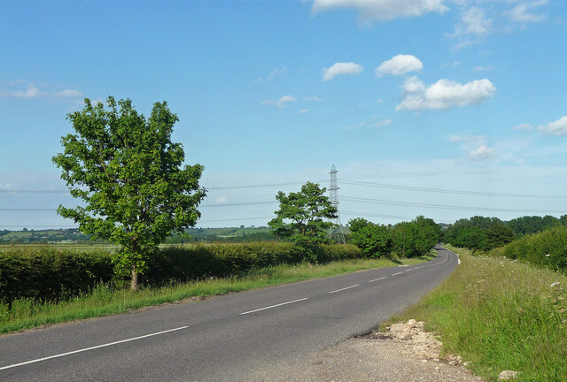
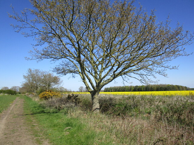
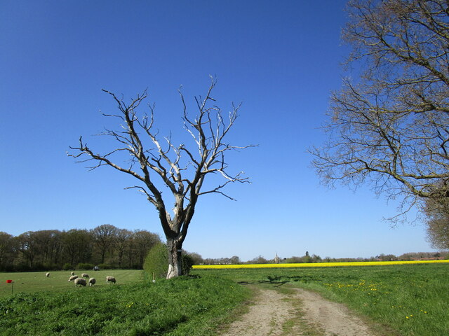
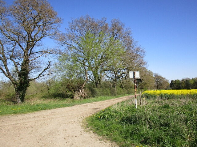
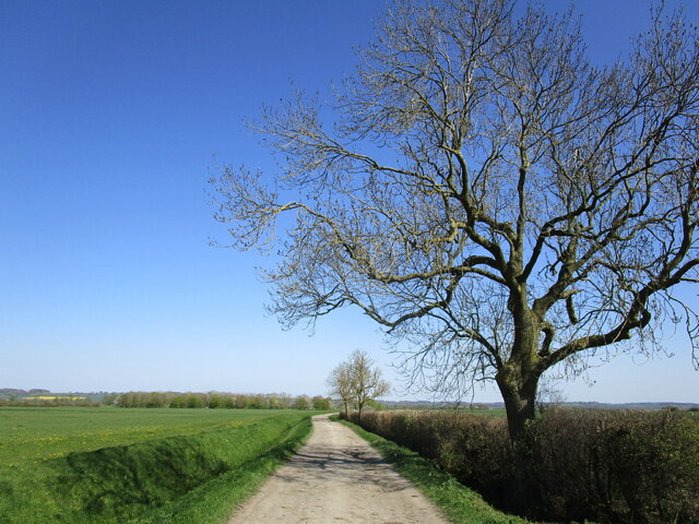
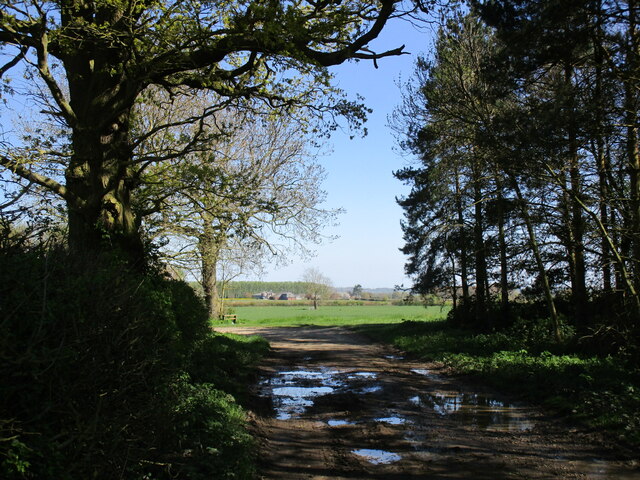
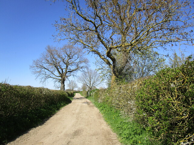
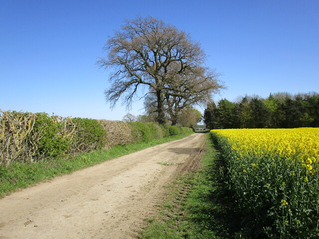
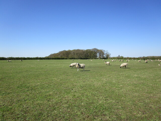
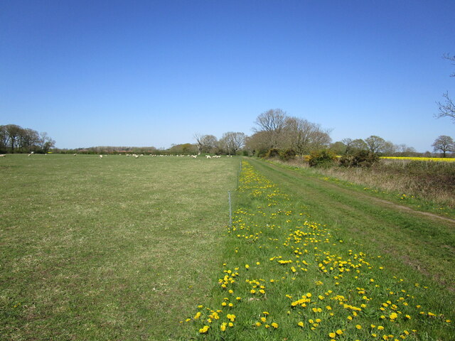
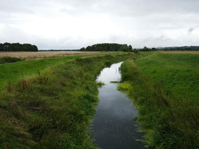
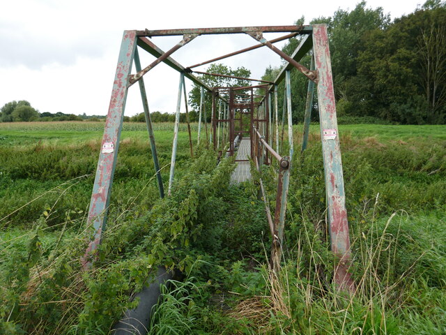
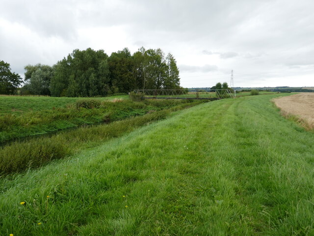
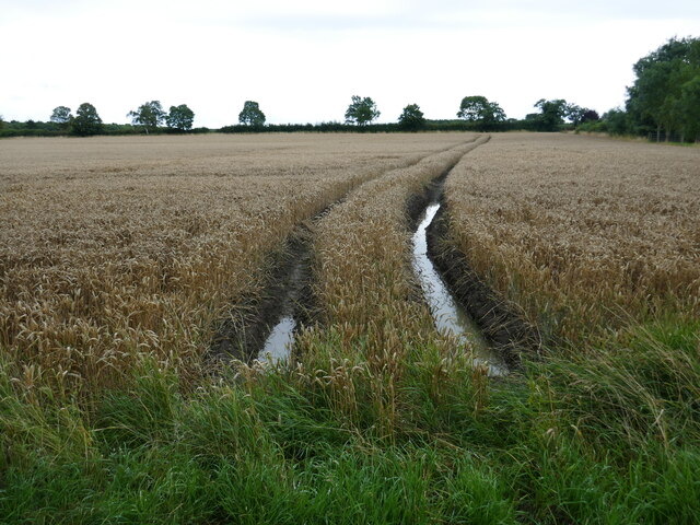
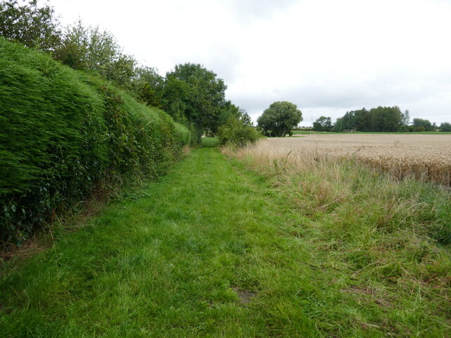
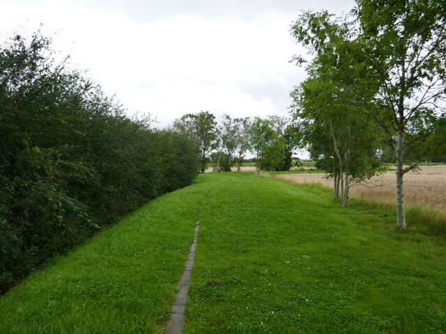
Aubourn with Haddington Images

Images are sourced within 2km of 53.146629/-0.598608 or Grid Reference SK9361. Thanks to Geograph Open Source API. All images are credited.

Blackmoor Road near Aubourn Heading west towards Aubourn.
Blackmoor Road near Aubourn
Heading west towards Aubourn.
Two shades of yellow Gorse and oilseed rape.
On a byway from Bassingham to Aubourn.
Two shades of yellow
Gorse and oilseed rape. On a byway from Bassingham to Aubourn.
Dead tree and Moor Covert Auburn Moor.
Dead tree and Moor Covert
Auburn Moor.
Oilseed rape, Aubourn Moor
End of publicly maintained highway The road as far as this sign is supposed to be maintained by Lincolnshire County Council but is as rutted as any of the nearby farm tracks.
End of publicly maintained highway
The road as far as this sign is supposed to be maintained by Lincolnshire County Council but is as rutted as any of the nearby farm tracks.
Fen Lane near Bassingham A county maintained road with deep potholes.
Fen Lane near Bassingham
A county maintained road with deep potholes.
Bend in Moor Lane near Aubourn Malborough Farm in the distance.
Bend in Moor Lane near Aubourn
Malborough Farm in the distance.
Moor Lane near Aubourn
Oilseed rape near Aubourn
Moor Lane near Aubourn This road is supposed to be maintained by Lincolnshire County Council but is as rutted as any of the nearby farm tracks.
Moor Lane near Aubourn
This road is supposed to be maintained by Lincolnshire County Council but is as rutted as any of the nearby farm tracks.
Grazing sheep and Moor Covert
Restricted byway towards Aubourn
The River Brant below Blackmoor Bridge
Unsafe bridge Not for pedestrian use. A sign says there is an alternative route but gives no indication where it is.
Unsafe bridge
Not for pedestrian use. A sign says there is an alternative route but gives no indication where it is.
Bridleway alongside the River Witham The bridge over the river is closed. A sign gives notice of an alternative route but there is no indication where it goes.
Bridleway alongside the River Witham
The bridge over the river is closed. A sign gives notice of an alternative route but there is no indication where it goes.
Sodden field After a very wet July, August is not proving any drier. Harvest conditions are very poor.
Sodden field
After a very wet July, August is not proving any drier. Harvest conditions are very poor.
Bridleway at Aubourn In theory the bridleway goes to South Hykeham but as the bridge over the River Witham is closed (and has been for many years) it does not even reach the woodland seen on the right.
Bridleway at Aubourn
In theory the bridleway goes to South Hykeham but as the bridge over the River Witham is closed (and has been for many years) it does not even reach the woodland seen on the right.
Show me another place!

Aubourn with Haddington is located at Grid Ref: SK9361 (Lat: 53.146629, Lng: -0.598608)

Administrative County: Lincolnshire

District: North Kesteven

Police Authority: Lincolnshire

What 3 Words

///scouting.absorbing.ends. Near Bassingham, Lincolnshire

Nearby Locations

Aubourn with Haddington

Related Wikis

Aubourn Haddington and South Hykeham

Aubourn Haddington and South Hykeham was a former civil parish in the North Kesteven district of Lincolnshire, England. According to the 2001 census it...

Aubourn

Aubourn ("Stream where the Alders grow") is a small village in the civil parish of Aubourn with Haddington, in the North Kesteven district, in the county...

Aubourn with Haddington

Aubourn with Haddington or Aubourn and Haddington is a civil parish in the North Kesteven district of Lincolnshire, England. The population of the civil...

River Brant

The River Brant is a 14 mi-long (23 km) tributary of the River Witham that flows entirely in the county of Lincolnshire, in the east of England. In 1855...

Nearby Amenities

Located within 500m of 53.146629,-0.598608
Power: tower
Lat/Long: 53.1477791/-0.5928305
Aubourn Fen
Place: locality
Source: Bing
Lat/Long: 53.1473712/-0.5927389
The data included in this document is from www.openstreetmap.org. The data is made available under ODbL.

Have you been to Aubourn with Haddington?

Leave your review of Aubourn with Haddington below (or comments, questions and feedback).