Triumph Plantation
Wood, Forest in Norfolk Broadland
England
Triumph Plantation
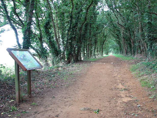
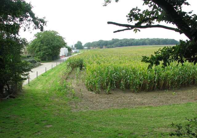
Triumph Plantation, Norfolk (Wood, Forest) is a sprawling natural reserve located in Norfolk, England. Covering an area of approximately 500 acres, it is renowned for its diverse flora and fauna, making it a popular destination for nature enthusiasts and researchers alike.
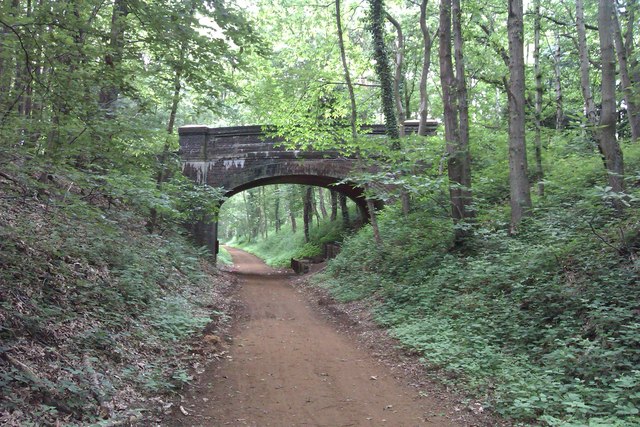
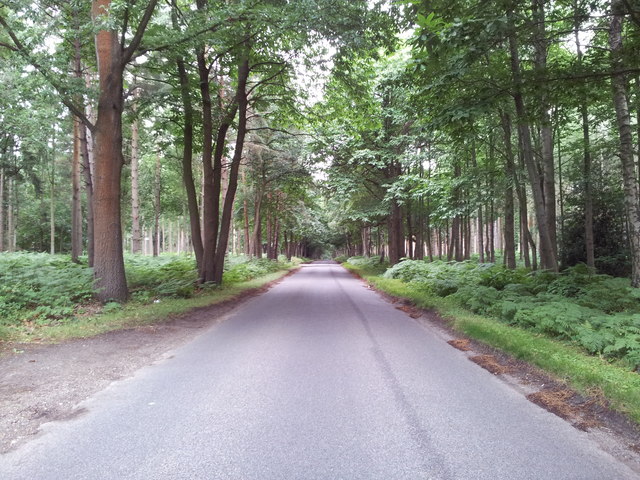
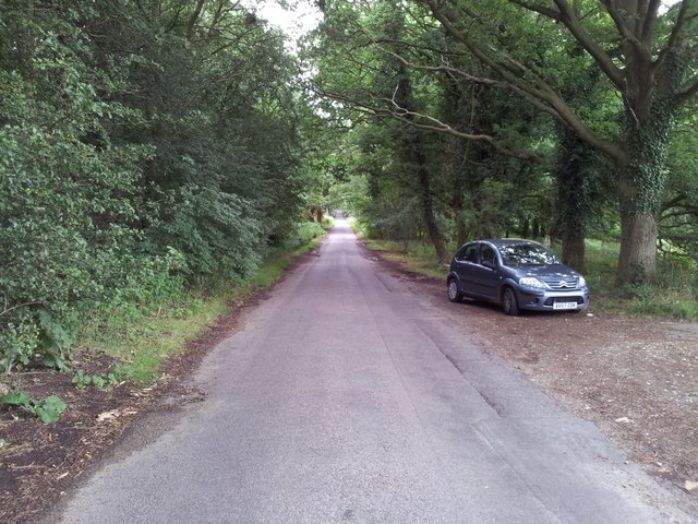
The plantation is predominantly composed of woodlands, boasting a variety of tree species such as oak, beech, and pine. These towering trees provide a dense canopy that filters sunlight, creating a cool and tranquil environment within the forest. Many of the trees are several centuries old, adding to the area's historical significance.
The forest floor of Triumph Plantation is adorned with an array of wildflowers, ferns, and mosses, which thrive in the damp and shaded conditions. This rich undergrowth not only adds to the visual appeal of the woodland but also provides a habitat for numerous small animals and insects.
Wildlife is abundant in Triumph Plantation, with a diverse range of species calling the forest home. Visitors may encounter squirrels, rabbits, and deer, along with a variety of bird species including woodpeckers, owls, and songbirds. The plantation's tranquil setting and ample food sources make it an ideal habitat for these creatures.
In addition to its natural beauty, Triumph Plantation offers several walking trails and picnic areas, allowing visitors to immerse themselves in the serene surroundings. The plantation is also actively involved in conservation efforts and hosts educational programs to promote environmental awareness and understanding.
Overall, Triumph Plantation, Norfolk (Wood, Forest) is a remarkable natural reserve that combines breathtaking scenery, diverse wildlife, and recreational opportunities. It serves as an important ecological site, contributing to the preservation and appreciation of nature in the Norfolk region.
If you have any feedback on the listing, please let us know in the comments section below.
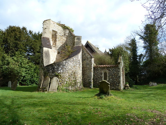
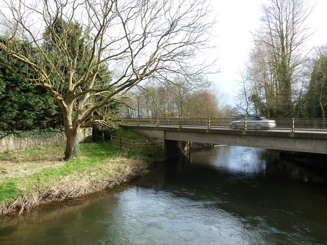
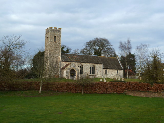
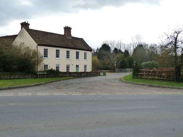
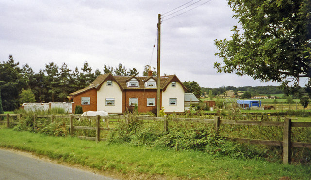
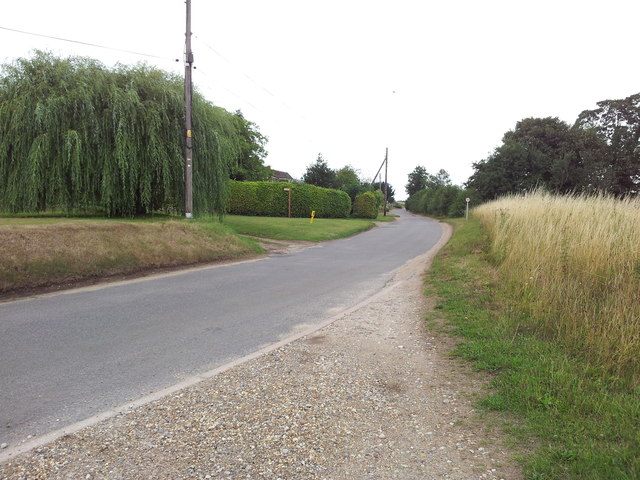
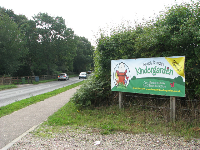
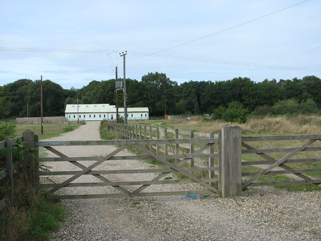
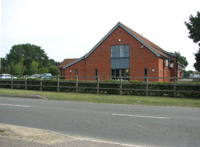
Triumph Plantation Images
Images are sourced within 2km of 52.703182/1.1713855 or Grid Reference TG1416. Thanks to Geograph Open Source API. All images are credited.
Triumph Plantation is located at Grid Ref: TG1416 (Lat: 52.703182, Lng: 1.1713855)
Administrative County: Norfolk
District: Broadland
Police Authority: Norfolk
What 3 Words
///ambient.strike.rekindle. Near Horsford, Norfolk
Nearby Locations
Related Wikis

1966 Felthorpe Trident crash
On 3 June 1966, a newly built Hawker Siddeley Trident jetliner crashed during a pre-delivery test flight near the village of Felthorpe, Norfolk, England...

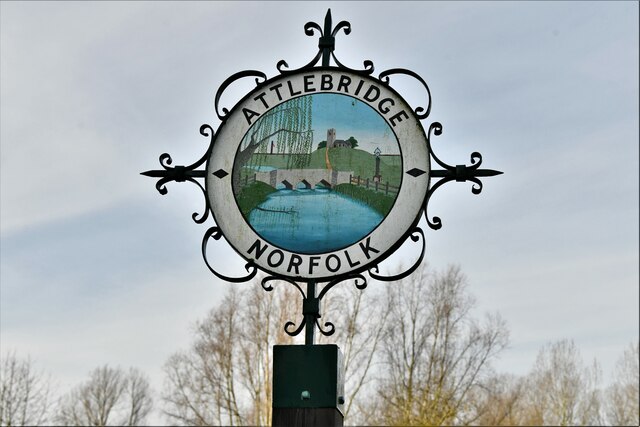
Attlebridge
Attlebridge is a village and civil parish in the English county of Norfolk. It is situated about 8 miles (13 km) north-west of Norwich, where the A1067...

Swannington Upgate Common
Swannington Upgate Common is a 20.5-hectare (51-acre) biological Site of Special Scientific Interest north-west of Norwich in Norfolk.This site has varied...

Attlebridge railway station
Attlebridge railway station is a closed station in Norfolk, England. It served the small village of Attlebridge. It was constructed by the Midland and...

Broadland (UK Parliament constituency)
Broadland is a Norfolk constituency, which has been represented in the House of Commons of the UK Parliament since the 2019 general election by Jerome...

Taverham High School
Taverham High School is a secondary school and sixth form with academy status, located in Taverham in the English county of Norfolk. As well as serving...

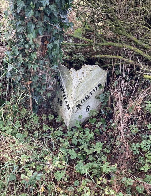
Morton on the Hill
Morton on the Hill is a small but scattered village and civil parish in the English county of Norfolk, about 8 miles (13 km) north-west of Norwich. The...

Alderford Common
Alderford Common is a 17.5-hectare (43-acre) biological Site of Special Scientific Interest north-west of Norwich in Norfolk.The common has a thin layer...
Nearby Amenities
Located within 500m of 52.703182,1.1713855Have you been to Triumph Plantation?
Leave your review of Triumph Plantation below (or comments, questions and feedback).