Mileplain Plantation
Wood, Forest in Norfolk Broadland
England
Mileplain Plantation
The requested URL returned error: 429 Too Many Requests
If you have any feedback on the listing, please let us know in the comments section below.
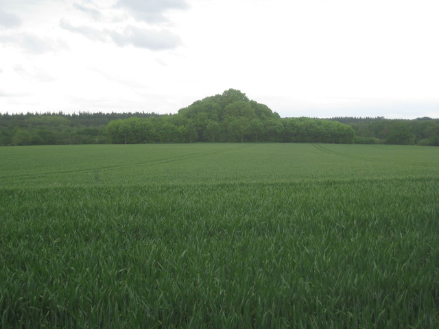
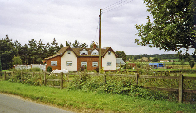
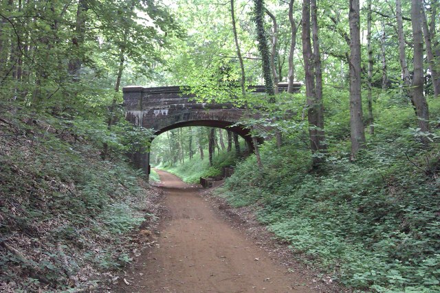
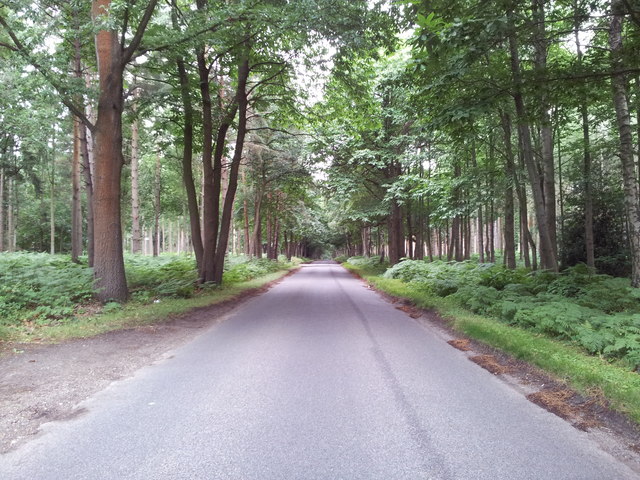
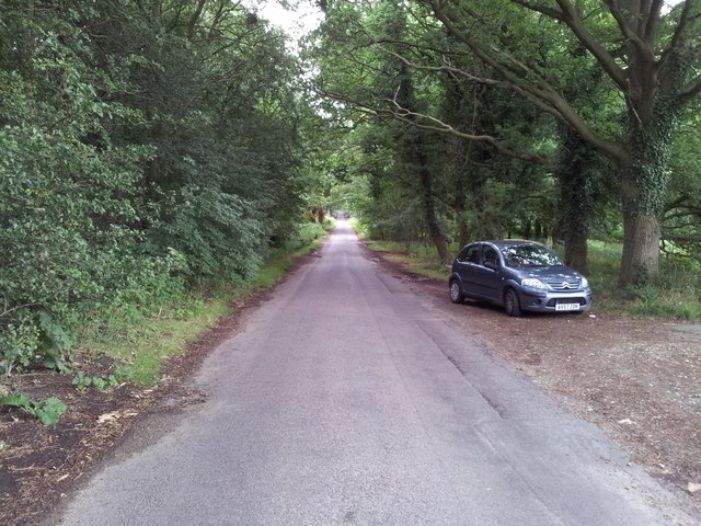
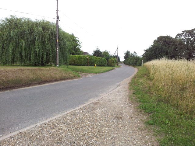
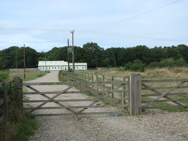
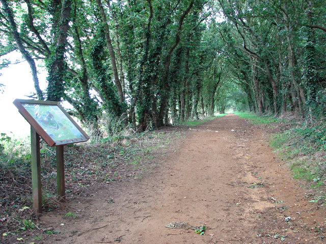
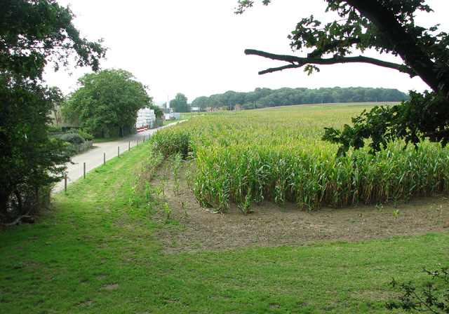
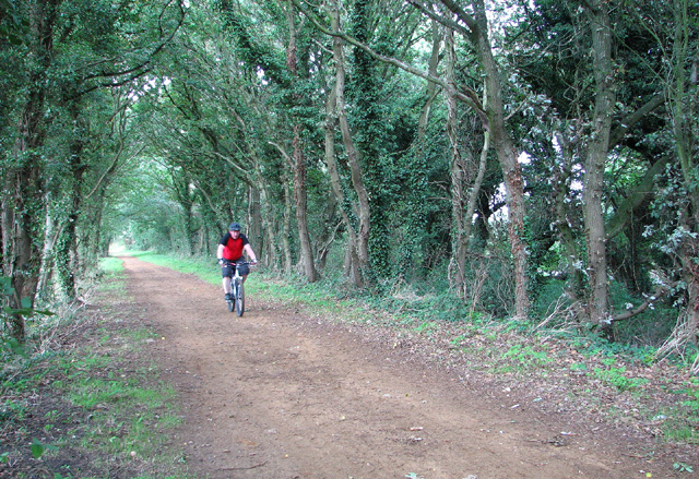
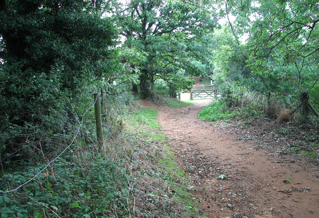
Mileplain Plantation Images
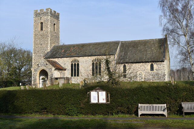
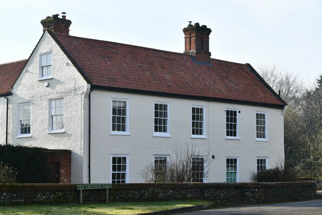
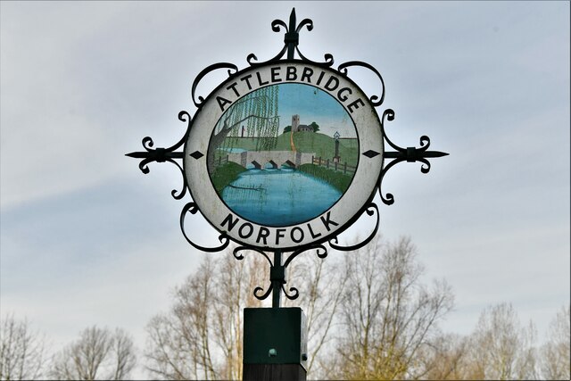
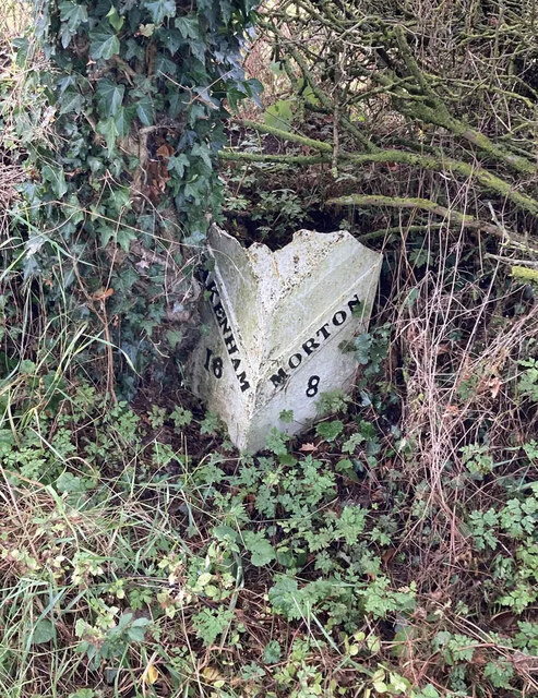
Images are sourced within 2km of 52.706047/1.1739031 or Grid Reference TG1416. Thanks to Geograph Open Source API. All images are credited.


Mileplain Plantation is located at Grid Ref: TG1416 (Lat: 52.706047, Lng: 1.1739031)
Administrative County: Norfolk
District: Broadland
Police Authority: Norfolk
What 3 Words
///transit.gracing.brighter. Near Horsford, Norfolk
Nearby Locations
Related Wikis

Swannington Upgate Common
Swannington Upgate Common is a 20.5-hectare (51-acre) biological Site of Special Scientific Interest north-west of Norwich in Norfolk.This site has varied...

1966 Felthorpe Trident crash
On 3 June 1966, a newly built Hawker Siddeley Trident jetliner crashed during a pre-delivery test flight near the village of Felthorpe, Norfolk, England...

Attlebridge
Attlebridge is a village and civil parish in the English county of Norfolk. It is situated about 8 miles (13 km) north-west of Norwich, where the A1067...

Attlebridge railway station
Attlebridge railway station is a closed station in Norfolk, England. It served the small village of Attlebridge. It was constructed by the Midland and...
Nearby Amenities
Located within 500m of 52.706047,1.1739031Have you been to Mileplain Plantation?
Leave your review of Mileplain Plantation below (or comments, questions and feedback).