Attleton Green

Settlement in Suffolk West Suffolk

England

Attleton Green

Cropmarks on fields north of Meeting Green: aerial 2022 (1)
Cropmarks on fields north of Meeting Green: aerial 2022 (1) Credit: Chris

Attleton Green is a small village located in the county of Suffolk, England. Situated approximately 5 miles southeast of the town of Bury St Edmunds, it is a rural settlement surrounded by picturesque countryside. The village is part of the Mid Suffolk district and falls within the East of England region.

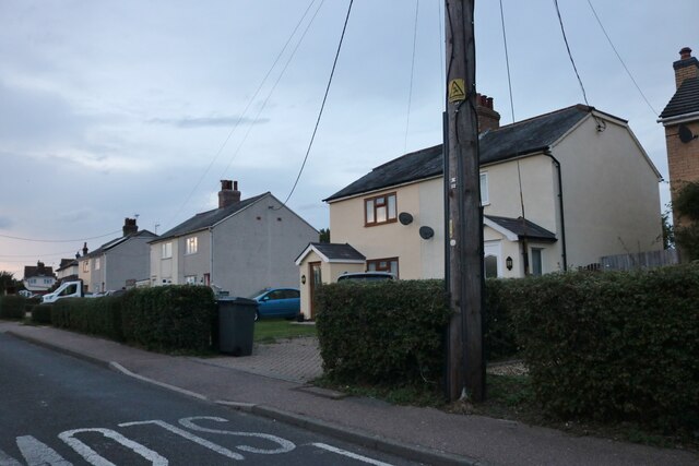
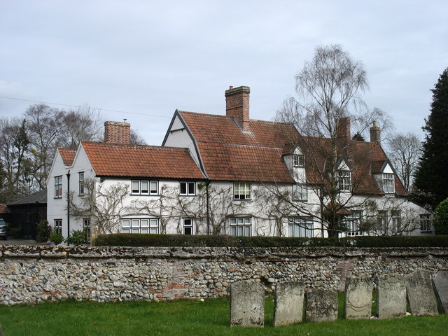
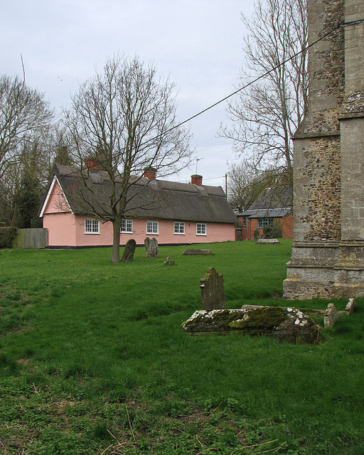
With a population of just over 200 residents, Attleton Green offers a tranquil and close-knit community atmosphere. The village is characterized by its charming thatched cottages, which give it a quintessentially English feel. The well-maintained village green, complete with a traditional duck pond, adds to the village's idyllic charm.

Although it is a predominantly residential area, Attleton Green also boasts a few amenities for its residents. The village has a small village hall which hosts community events and gatherings. Additionally, there is a local pub called "The Green Inn," where villagers can enjoy a drink or a meal.

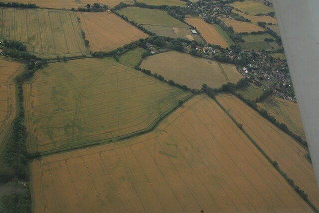
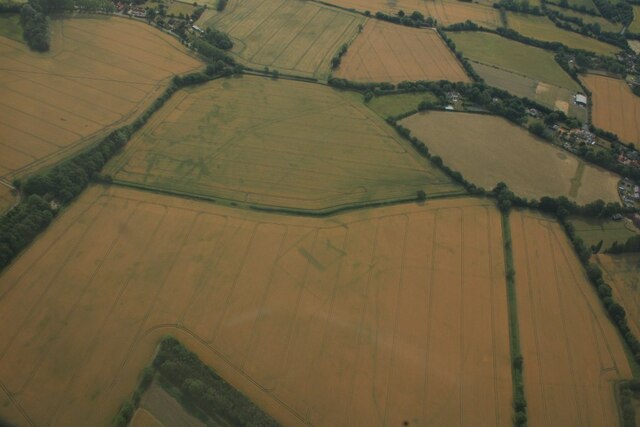
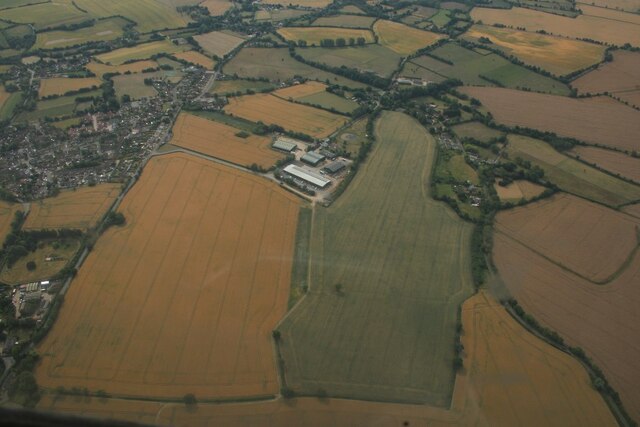
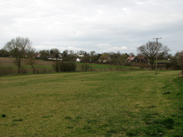
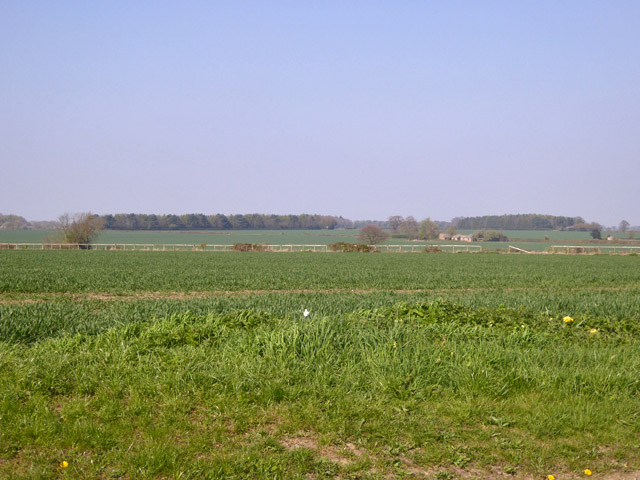
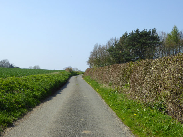
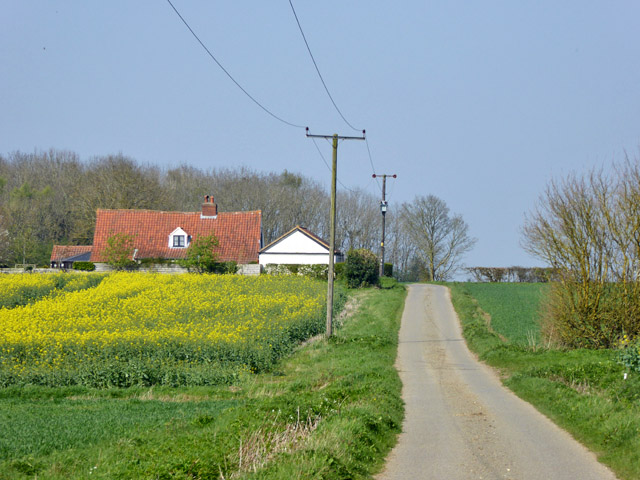
The surrounding area of Attleton Green is predominantly agricultural, with sprawling farmland and open fields dominating the landscape. The village is well-connected to nearby towns and cities, making it an attractive location for those seeking a peaceful rural lifestyle while still having access to urban amenities.

Overall, Attleton Green is a charming village in Suffolk, offering a peaceful and picturesque environment for its residents to enjoy.

If you have any feedback on the listing, please let us know in the comments section below.

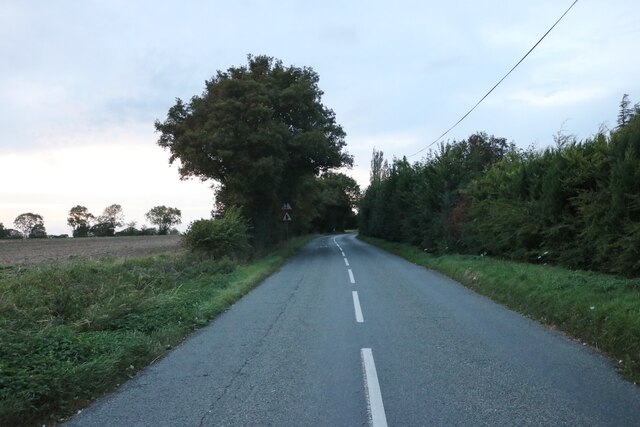
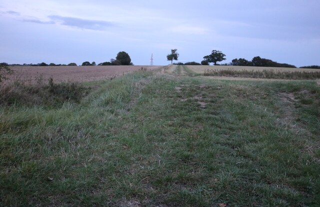
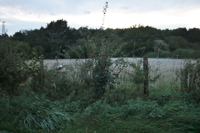
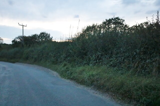
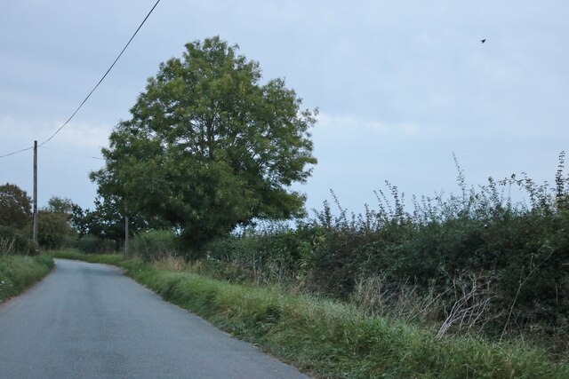
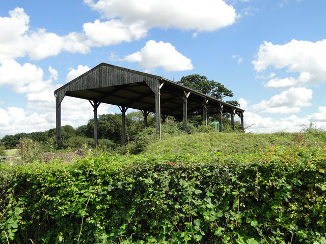
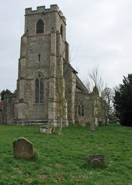
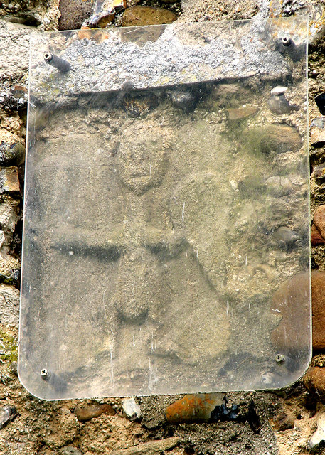
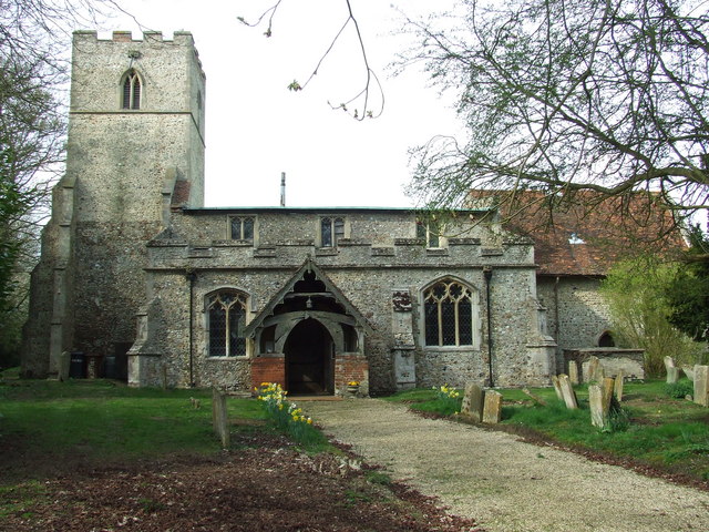
Attleton Green Images

Images are sourced within 2km of 52.165097/0.54072884 or Grid Reference TL7354. Thanks to Geograph Open Source API. All images are credited.

Cropmarks on fields north of Meeting Green: aerial 2022 (1)
Cropmarks on fields north of Meeting Green: aerial 2022 (2)
Cropmarks on fields west of Meeting Green: aerial 2022 (1)
Houses on Bunters Road, Wickhambrook
The B1063, Wickhambook
Field by the B1063, Boyden End The aerial is over a mile away in Genesis Green
Field by the B1063, Boyden End
The aerial is over a mile away in Genesis Green
Woods by Newmarket Road near Cowlinge
Newmarket Road, Cowlinge
The road from Attleton Green to Wickhambrook Here is Robin Webster's similar view.
The road from Attleton Green to Wickhambrook
Here is Robin Webster's similar view.
Dutch-style barn at Jonathan's Farm
Wickhambrook: All Saints "Mostly Dec ... Tall two-light reticulated window in the W tower" (Nikolaus Pevsner).
Wickhambrook: All Saints
"Mostly Dec ... Tall two-light reticulated window in the W tower" (Nikolaus Pevsner).
Wickhambrook: All Saints - Saxon carving "A small Saxon figure of a man with a shield, outside in the S wall" (Nikolaus Pevsner).
Wickhambrook: All Saints - Saxon carving
"A small Saxon figure of a man with a shield, outside in the S wall" (Nikolaus Pevsner).
"The White House", Wickhambrook Taken from the churchyard of All Saints church.
"The White House", Wickhambrook
Taken from the churchyard of All Saints church.
Wickhambrook churchyard and almshouses The Suffolk-pink building is the Grade II listed almshouses. The listing text reads "A range of C17 timber-framed and plastered almshouses built by Anthony Sparrow in 1615. A tablet states that they were restored in 1897 and the doors and windows are of that period. Casement windows with glazing bars. Roof thatched".
Wickhambrook churchyard and almshouses
The Suffolk-pink building is the Grade II listed almshouses. The listing text reads "A range of C17 timber-framed and plastered almshouses built by Anthony Sparrow in 1615. A tablet states that they were restored in 1897 and the doors and windows are of that period. Casement windows with glazing bars. Roof thatched".
Wickhambrook Glebe Field A view from the churchyard. Wickhambrook is a straggling village and the church is at its southern edge.
Wickhambrook Glebe Field
A view from the churchyard. Wickhambrook is a straggling village and the church is at its southern edge.
View north from road near Moat Farm The continuous rail fence (in poor repair) rather like a racecourse is noticeable, but there never was one here and the farming is currently arable.
View north from road near Moat Farm
The continuous rail fence (in poor repair) rather like a racecourse is noticeable, but there never was one here and the farming is currently arable.
Lane towards Cowlinge
Mot's End The lane does a right-angled bend to the left around the house. The house, from about 1700, is a grade II listed building. It is described as having a thatched roof, which is not the case now.
Mot's End
The lane does a right-angled bend to the left around the house. The house, from about 1700, is a grade II listed building. It is described as having a thatched roof, which is not the case now.
Show me another place!

Attleton Green is located at Grid Ref: TL7354 (Lat: 52.165097, Lng: 0.54072884)

Administrative County: Suffolk

District: West Suffolk

Police Authority: Suffolk

What 3 Words

///bunch.interlude.drifting. Near Kedington, Suffolk

Related Wikis

Wickhambrook

Wickhambrook is a village and civil parish in the West Suffolk district of Suffolk in eastern England. It is about ten miles (16 km) south-west from Bury...

Coltsfoot Green

Coltsfoot Green is a small hamlet within the village of Wickhambrook, Suffolk, England. It constitutes one of its eleven village greens and consists of...

Attleton Green

Attleton Green is a hamlet in Suffolk, England. == External links == Media related to Attleton Green at Wikimedia Commons

Cowlinge

Cowlinge (/ˈkuː.lɪnʤ/), pronounced "Coolinje", is a village and civil parish in the West Suffolk district of Suffolk in eastern England close to the Cambridgeshire...

Stradishall

Stradishall is a village and civil parish in West Suffolk in the English county of Suffolk. The civil parish includes a number of hamlets including Farley...

Lidgate

Lidgate is a small village and a civil parish in the West Suffolk district, in the English county of Suffolk. Lidgate is located on the B1063 road in between...

Clare Rural District

Clare Rural District was a rural district in the county of West Suffolk, England. It was created in 1894, comprising those parishes in the Risbridge rural...

HM Prison Highpoint North

HM Prison Highpoint North (formerly called Highpoint Prison and Edmunds Hill Prison) is a Category C men's prison, located in the village of Stradishall...

Nearby Amenities

Located within 500m of 52.165097,0.54072884
Bus Stop
Pond
Naptan AtcoCode: 390051088
Naptan Bearing: W
Naptan BusStopType: CUS
Naptan CommonName: Pond
Naptan Indicator: adj
Naptan Landmark: Pond
Naptan NaptanCode: sufjgtwt
Naptan Street: The Green
Naptan Verified: no
Source: naptan_import
Lat/Long: 52.164419/0.5444414
Bus Stop
Pond
Naptan AtcoCode: 390051089
Naptan Bearing: E
Naptan BusStopType: CUS
Naptan CommonName: Pond
Naptan Indicator: opp
Naptan Landmark: Pond
Naptan NaptanCode: sufjgwad
Naptan Street: The Green
Naptan Verified: no
Source: naptan_import
Lat/Long: 52.16434/0.5444119
Attleton Green
Place: hamlet
Wikidata: Q4818576
Lat/Long: 52.1649887/0.5421726
Post Box
Collection Times: Mo-Fr 09:00; Sa 07:00
Operator: Royal Mail
Post Box Type: lamp
Ref: CB8 62
Royal Cypher: EIIR
Royal Cypher Wikidata: Q33102113
Source: survey
Lat/Long: 52.1642383/0.5451302
The data included in this document is from www.openstreetmap.org. The data is made available under ODbL.

Have you been to Attleton Green?

Leave your review of Attleton Green below (or comments, questions and feedback).