Four Acre Wood
Wood, Forest in Suffolk West Suffolk
England
Four Acre Wood
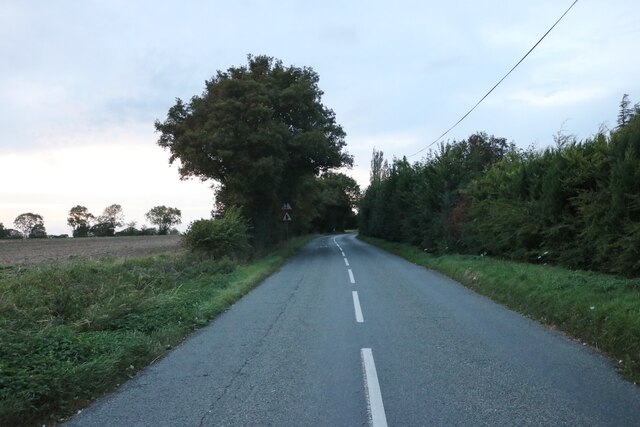
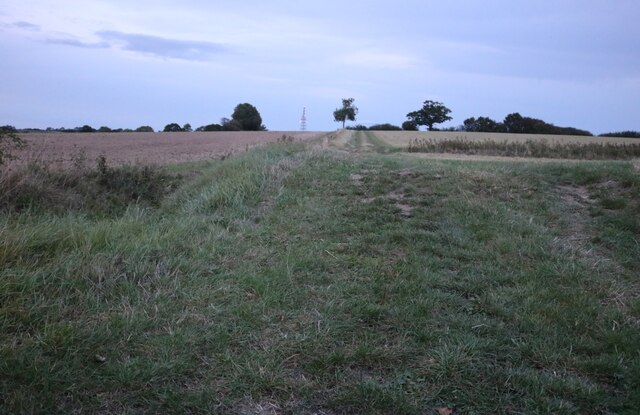
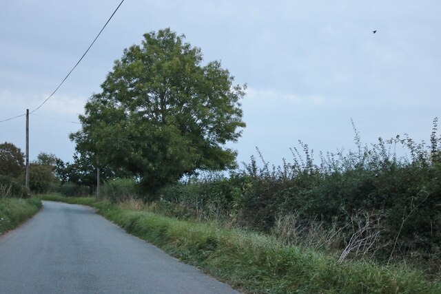
Four Acre Wood is a picturesque woodland located in the county of Suffolk, England. This enchanting forest covers an area of approximately four acres, hence its name. It is nestled in the heart of the Suffolk countryside, providing a tranquil and serene escape for nature enthusiasts.
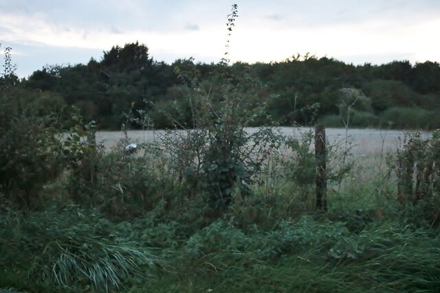
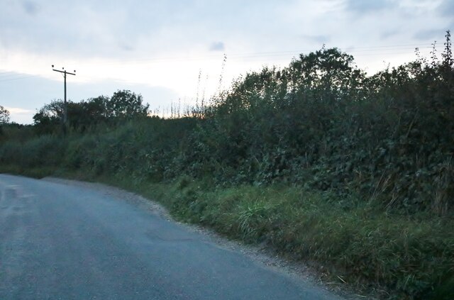
The wood is characterized by a diverse range of tree species, including oak, beech, ash, and birch. These majestic trees create a dense canopy that filters sunlight, casting dappled shadows on the forest floor. The ground is covered in a thick layer of moss, ferns, and wildflowers, adding to the wood's natural beauty.
Four Acre Wood is home to a variety of wildlife, making it a haven for animal lovers and birdwatchers. Squirrels can be seen darting between branches, while rabbits scurry through the undergrowth. Birdsong fills the air as various species of birds, such as woodpeckers, thrushes, and tits, make their nests in the tree hollows.
The wood is crisscrossed with footpaths, allowing visitors to explore its hidden corners. As they meander through the forest, visitors may stumble upon a small pond, where dragonflies dance above the water's surface. The wood also boasts a charming picnic area, inviting visitors to relax and soak in the peaceful ambiance.
Four Acre Wood offers a delightful escape from the hustle and bustle of everyday life. Whether one seeks solitude, a connection with nature, or a family outing, this wood provides an idyllic setting to reconnect with the natural world.
If you have any feedback on the listing, please let us know in the comments section below.
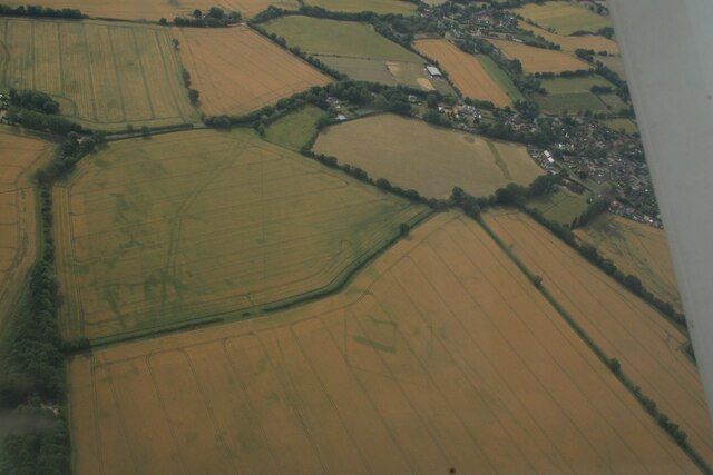
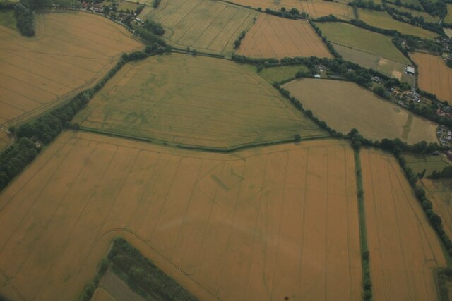
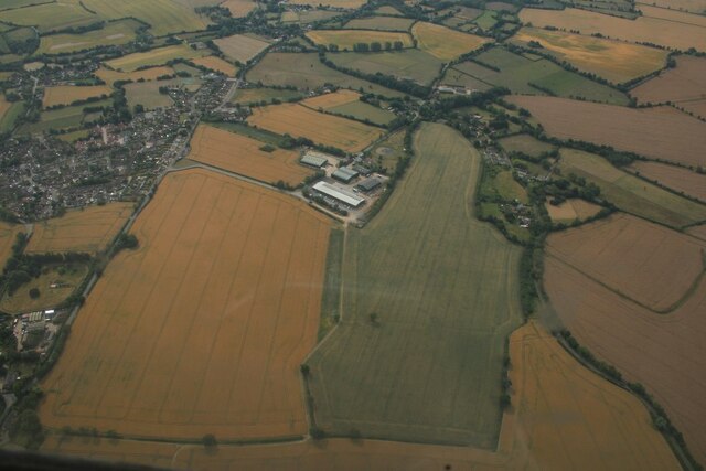
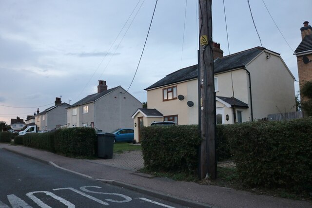
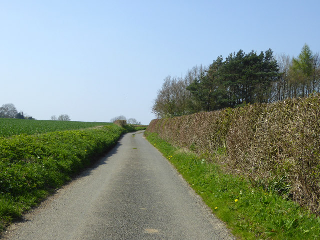
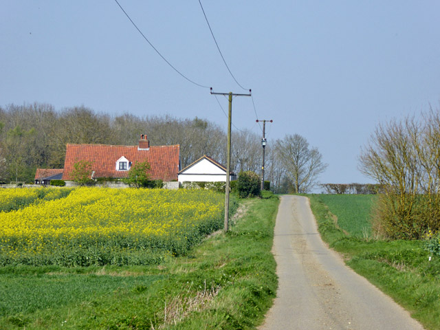
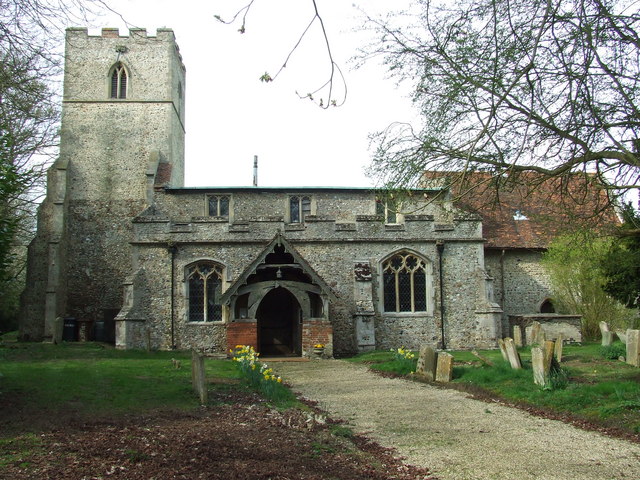
Four Acre Wood Images
Images are sourced within 2km of 52.16606/0.52942101 or Grid Reference TL7354. Thanks to Geograph Open Source API. All images are credited.


Four Acre Wood is located at Grid Ref: TL7354 (Lat: 52.16606, Lng: 0.52942101)
Administrative County: Suffolk
District: West Suffolk
Police Authority: Suffolk
What 3 Words
///loosed.shippers.many. Near Kedington, Suffolk
Nearby Locations
Related Wikis

Wickhambrook
Wickhambrook is a village and civil parish in the West Suffolk district of Suffolk in eastern England. It is about ten miles (16 km) south-west from Bury...

Cowlinge
Cowlinge (/ˈkuː.lɪnʤ/), pronounced "Coolinje", is a village and civil parish in the West Suffolk district of Suffolk in eastern England close to the Cambridgeshire...

Attleton Green
Attleton Green is a hamlet in Suffolk, England. == External links == Media related to Attleton Green at Wikimedia Commons
Coltsfoot Green
Coltsfoot Green is a small hamlet within the village of Wickhambrook, Suffolk, England. It constitutes one of its eleven village greens and consists of...

Lidgate
Lidgate is a small village and a civil parish in the West Suffolk district, in the English county of Suffolk. Lidgate is located on the B1063 road in between...
Stradishall
Stradishall is a village and civil parish in West Suffolk in the English county of Suffolk. The civil parish includes a number of hamlets including Farley...

Clare Rural District
Clare Rural District was a rural district in the county of West Suffolk, England. It was created in 1894, comprising those parishes in the Risbridge rural...
HM Prison Highpoint North
HM Prison Highpoint North (formerly called Highpoint Prison and Edmunds Hill Prison) is a Category C men's prison, located in the village of Stradishall...
Nearby Amenities
Located within 500m of 52.16606,0.52942101Have you been to Four Acre Wood?
Leave your review of Four Acre Wood below (or comments, questions and feedback).