Morton on the Hill
Civil Parish in Norfolk Broadland
England
Morton on the Hill
Morton on the Hill is a civil parish located in the county of Norfolk, in eastern England. It is situated approximately 10 miles northwest of the city of Norwich. The parish covers an area of about 8 square miles and has a population of around 300 residents.
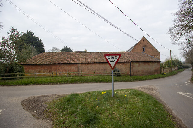
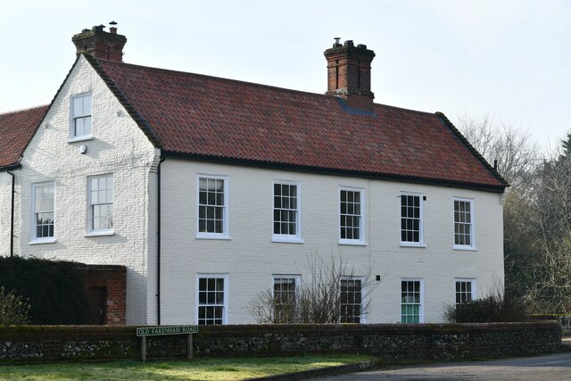
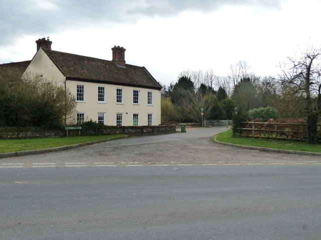
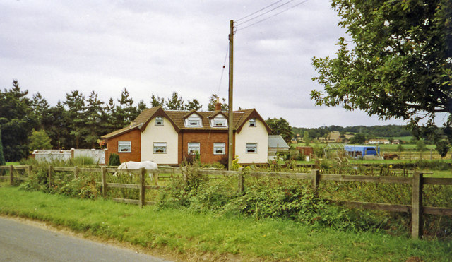
The village of Morton on the Hill is known for its picturesque setting, surrounded by beautiful countryside and rolling hills. It is a predominantly rural area, with a mix of residential properties and farmland. The village itself is small, with a charming and peaceful atmosphere.
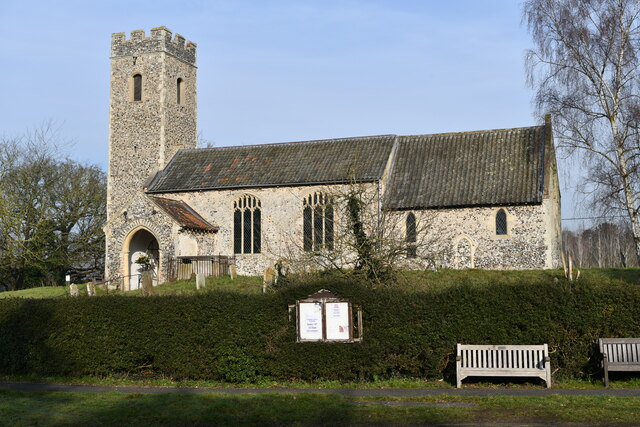
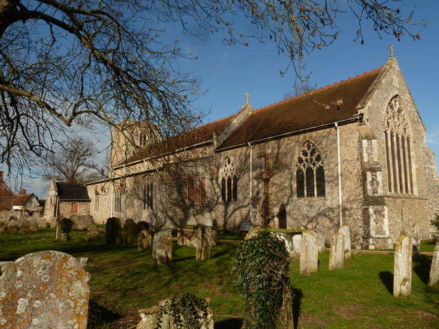
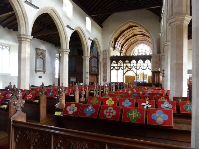
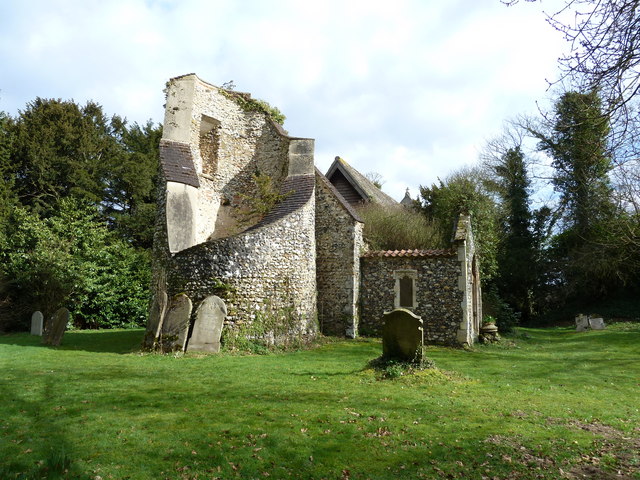
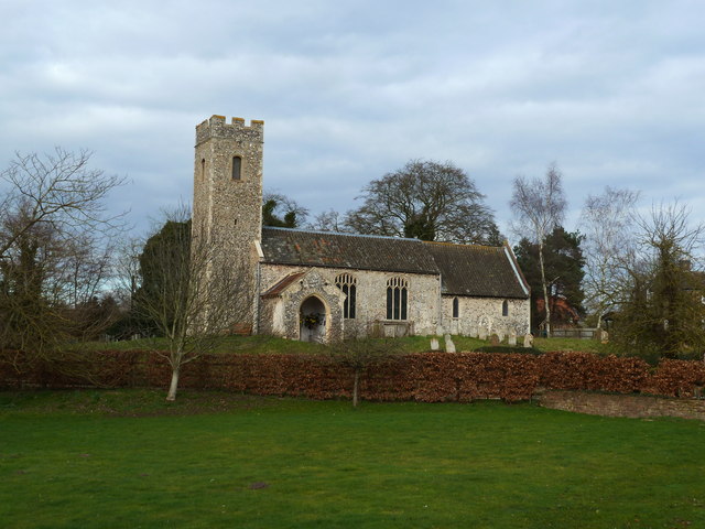
The parish is home to several historic buildings, including the Grade II listed St. Margaret's Church, which dates back to the 14th century. The church is a prominent feature of the village and is well-maintained, offering a glimpse into the area's rich history.
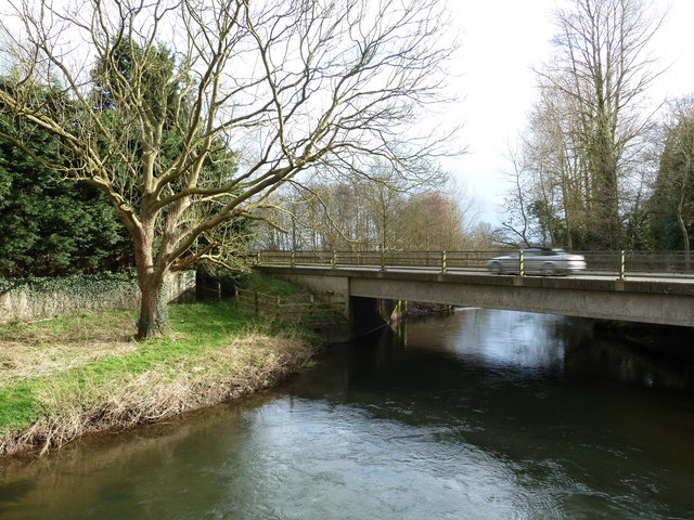
The surrounding area provides ample opportunities for outdoor activities and exploration. There are numerous walking and cycling trails that crisscross the countryside, allowing visitors and residents to enjoy the natural beauty of the region. The nearby Wensum River also offers opportunities for fishing and boating.
Despite its rural setting, Morton on the Hill is conveniently located close to major transport links. The A47 road runs nearby, providing easy access to Norwich and other nearby towns and cities. The village is also served by regular bus services, connecting it with the wider region.
In summary, Morton on the Hill is a small and peaceful civil parish in Norfolk, offering a charming rural setting, a rich history, and easy access to the surrounding countryside.
If you have any feedback on the listing, please let us know in the comments section below.
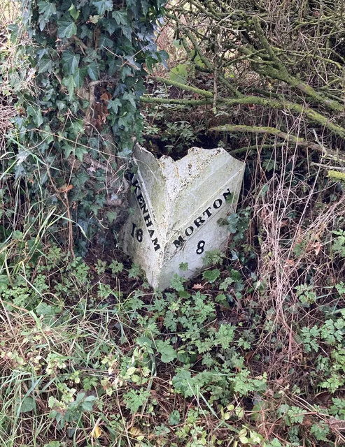
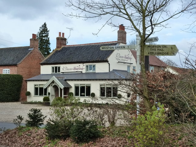
Morton on the Hill Images
Images are sourced within 2km of 52.700943/1.142898 or Grid Reference TG1216. Thanks to Geograph Open Source API. All images are credited.


Morton on the Hill is located at Grid Ref: TG1216 (Lat: 52.700943, Lng: 1.142898)
Administrative County: Norfolk
District: Broadland
Police Authority: Norfolk
What 3 Words
///permanent.instant.landed. Near Horsford, Norfolk
Nearby Locations
Related Wikis

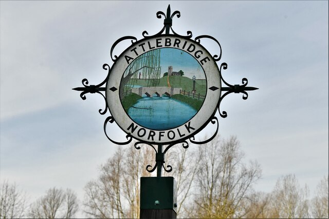
Attlebridge
Attlebridge is a village and civil parish in the English county of Norfolk. It is situated about 8 miles (13 km) north-west of Norwich, where the A1067...

Morton on the Hill
Morton on the Hill is a small but scattered village and civil parish in the English county of Norfolk, about 8 miles (13 km) north-west of Norwich. The...

Weston Longville
Weston Longville is a civil parish in the English county of Norfolk, approximately 8 miles (13 km) north-west of Norwich. Its name is derived from the...

Attlebridge railway station
Attlebridge railway station is a closed station in Norfolk, England. It served the small village of Attlebridge. It was constructed by the Midland and...

Alderford Common
Alderford Common is a 17.5-hectare (43-acre) biological Site of Special Scientific Interest north-west of Norwich in Norfolk.The common has a thin layer...

RAF Attlebridge
Royal Air Force Attlebridge, or simply RAF Attlebridge, is a former Royal Air Force station located near Attlebridge and 8 miles (13 km) northwest of Norwich...

Broadland (UK Parliament constituency)
Broadland is a Norfolk constituency, which has been represented in the House of Commons of the UK Parliament since the 2019 general election by Jerome...

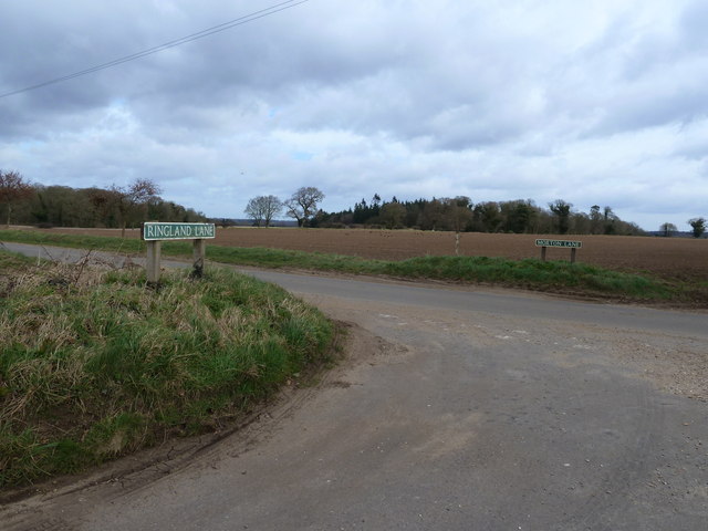
Ringland, Norfolk
Ringland is a village and civil parish in Norfolk, England, and in the valley of the River Wensum, approximately 7 miles (11 km) north-west of Norwich...
Nearby Amenities
Located within 500m of 52.700943,1.142898Have you been to Morton on the Hill?
Leave your review of Morton on the Hill below (or comments, questions and feedback).