Scotchwood Hills
Wood, Forest in Norfolk Broadland
England
Scotchwood Hills
Scotchwood Hills is a charming neighborhood nestled in the woodland area of Norfolk, England. With its picturesque surroundings and peaceful atmosphere, it is a haven for nature lovers and those seeking a tranquil lifestyle.
The neighborhood is characterized by its lush greenery, dense forests, and a variety of native trees such as oak, beech, and pine. The woodlands provide a habitat for a diverse range of wildlife, including deer, squirrels, and a variety of bird species, making it a popular spot for nature enthusiasts and birdwatchers.
Scotchwood Hills offers a range of housing options, from quaint cottages to modern family homes, all blending seamlessly with the natural environment. Many properties feature large gardens, providing ample space for outdoor activities and gardening.
Residents of Scotchwood Hills enjoy a close-knit community feel, with regular social events and gatherings. The neighborhood has a small local shop, perfect for everyday essentials, and a few charming cafes and restaurants that offer a taste of local cuisine.
For outdoor enthusiasts, there are numerous walking and cycling trails that wind through the woodlands, offering breathtaking views and a chance to explore nature at its finest. The nearby Norfolk Broads, a network of rivers and lakes, provide opportunities for boating and fishing.
Scotchwood Hills benefits from its proximity to the historic city of Norwich, just a short drive away. Norwich offers a wide range of amenities, including shopping centers, museums, art galleries, and a thriving cultural scene.
In conclusion, Scotchwood Hills is a picturesque neighborhood in Norfolk, offering a peaceful and idyllic lifestyle surrounded by beautiful woodlands, wildlife, and a strong community spirit.
If you have any feedback on the listing, please let us know in the comments section below.
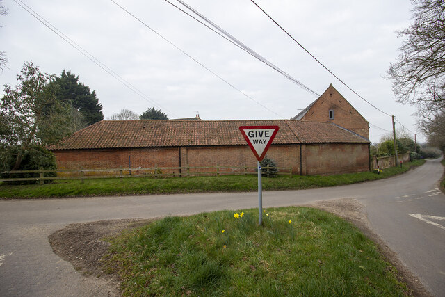
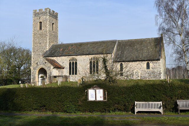
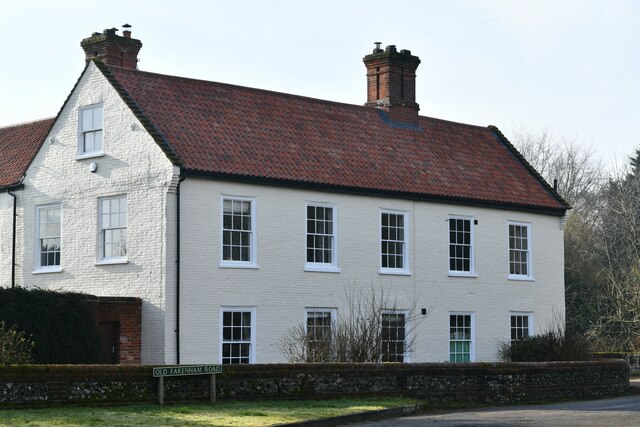
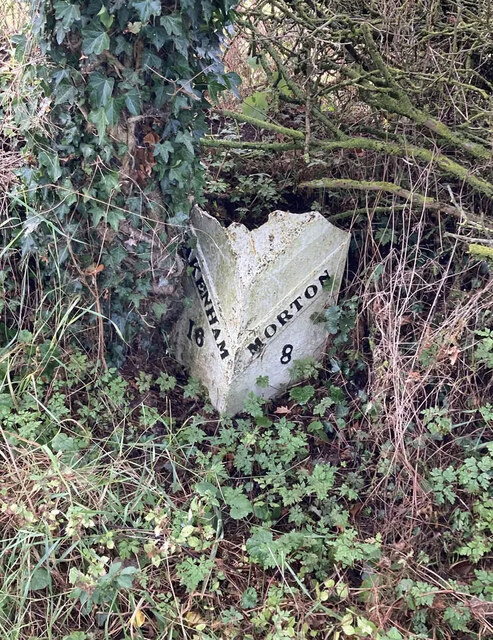
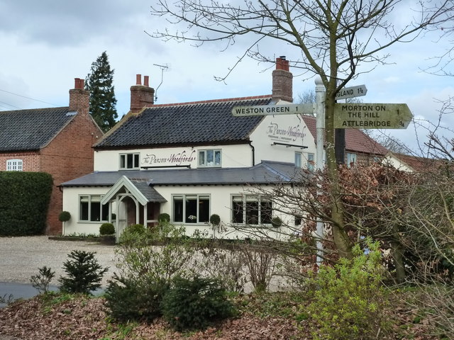
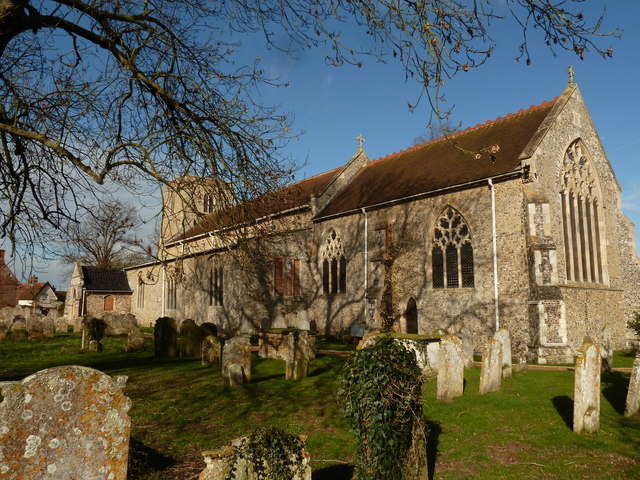
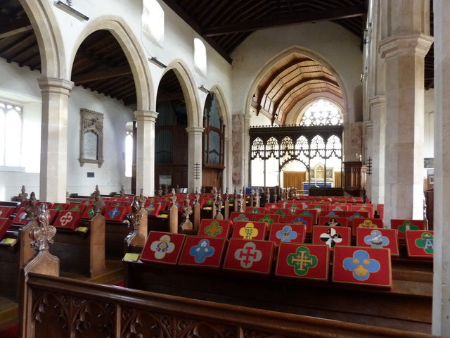
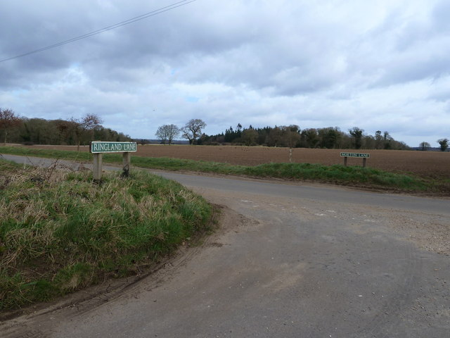
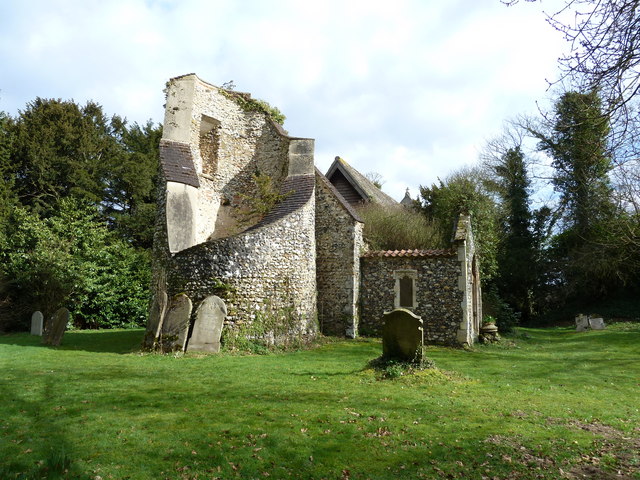
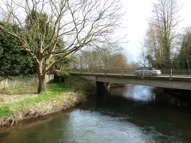
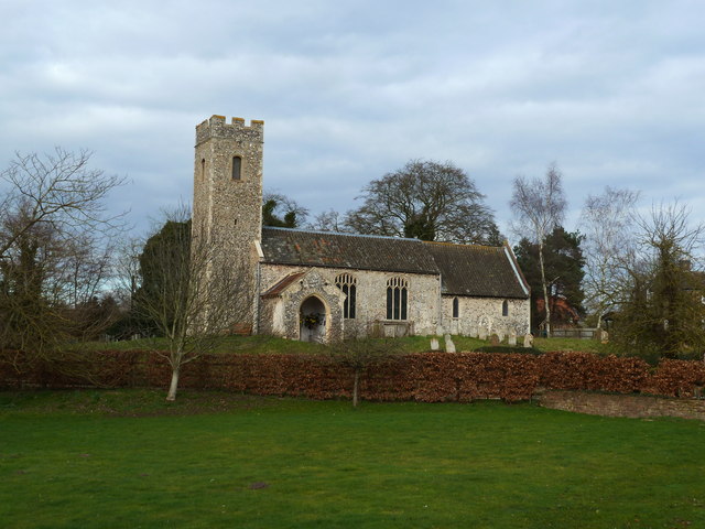
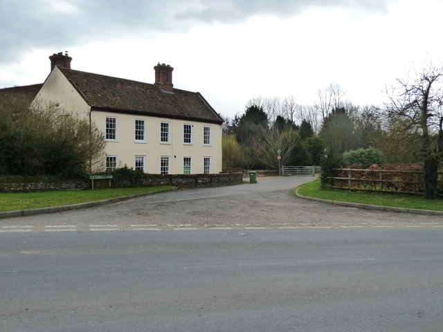
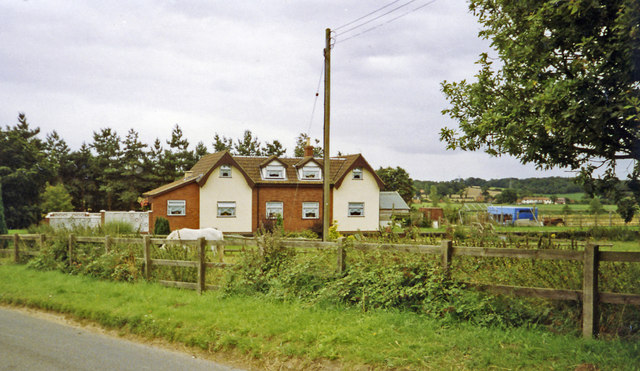
Scotchwood Hills Images
Images are sourced within 2km of 52.70368/1.1398864 or Grid Reference TG1216. Thanks to Geograph Open Source API. All images are credited.


Scotchwood Hills is located at Grid Ref: TG1216 (Lat: 52.70368, Lng: 1.1398864)
Administrative County: Norfolk
District: Broadland
Police Authority: Norfolk
What 3 Words
///opposites.stocky.sedated. Near Horsford, Norfolk
Nearby Locations
Related Wikis

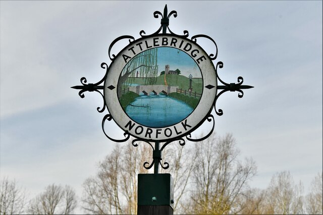
Attlebridge
Attlebridge is a village and civil parish in the English county of Norfolk. It is situated about 8 miles (13 km) north-west of Norwich, where the A1067...

Morton on the Hill
Morton on the Hill is a small but scattered village and civil parish in the English county of Norfolk, about 8 miles (13 km) north-west of Norwich. The...

Weston Longville
Weston Longville is a civil parish in the English county of Norfolk, approximately 8 miles (13 km) north-west of Norwich. Its name is derived from the...

Attlebridge railway station
Attlebridge railway station is a closed station in Norfolk, England. It served the small village of Attlebridge. It was constructed by the Midland and...

Alderford Common
Alderford Common is a 17.5-hectare (43-acre) biological Site of Special Scientific Interest north-west of Norwich in Norfolk.The common has a thin layer...

Broadland (UK Parliament constituency)
Broadland is a Norfolk constituency, which has been represented in the House of Commons of the UK Parliament since the 2019 general election by Jerome...

RAF Attlebridge
Royal Air Force Attlebridge, or simply RAF Attlebridge, is a former Royal Air Force station located near Attlebridge and 8 miles (13 km) northwest of Norwich...

Alderford
Alderford is a village and civil parish in the English county of Norfolk, about ten miles (16 km) north-west of Norwich. The name 'Alderford' derives from...
Nearby Amenities
Located within 500m of 52.70368,1.1398864Have you been to Scotchwood Hills?
Leave your review of Scotchwood Hills below (or comments, questions and feedback).