Piece Wood

Wood, Forest in Kent Sevenoaks

England

Piece Wood

Direction Sign – Signpost on the crossroads in Halstead Located on the east side of the crossroads of Knockholt Road. Church Road, Shoreham Lane and Otford Lane in Halstead parish. 5 arms and annulus finial. See also <a title="https://www.geograph.org.uk/photo/6614724" href="https://www.geograph.org.uk/photo/6614724">Link</a>.

Milestone Society National ID: KE_TQ4861
Direction Sign – Signpost on the crossroads in Halstead Credit: John V Nicholls

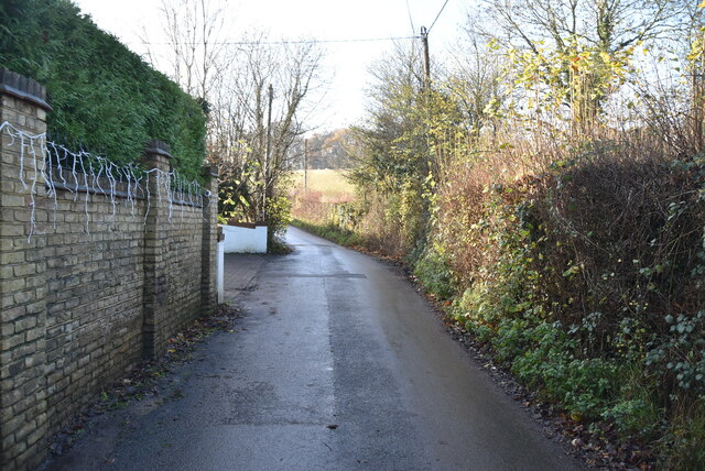
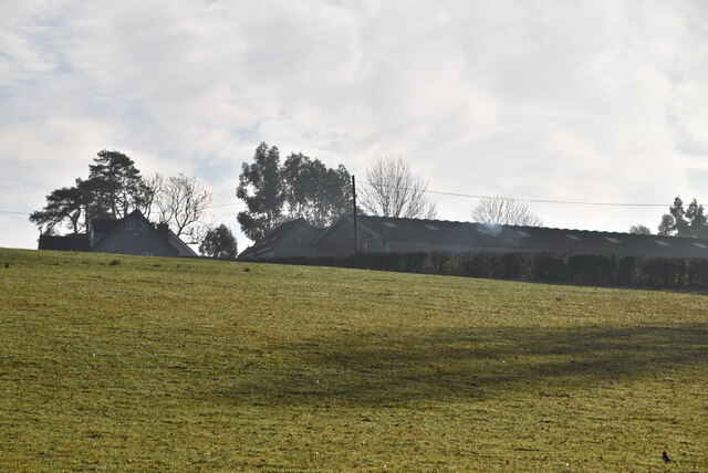
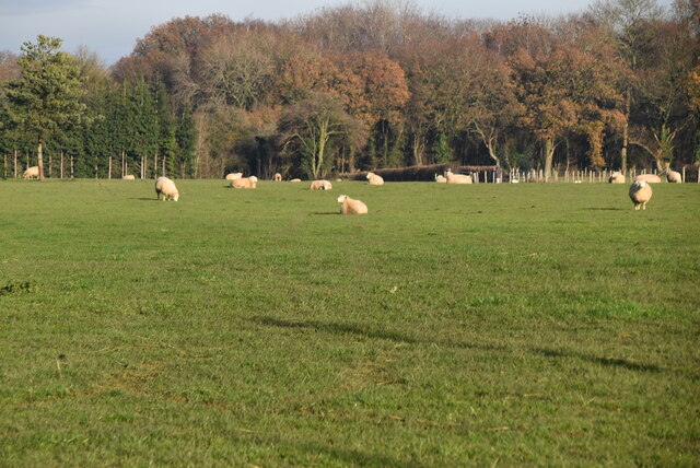
Situated in the county of Kent in southeastern England, Piece Wood, also known as Wood Forest, is a charming and picturesque woodland area. Covering an estimated area of 65 hectares, it offers a tranquil escape from the bustling modern world.

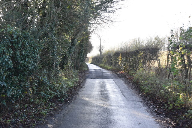
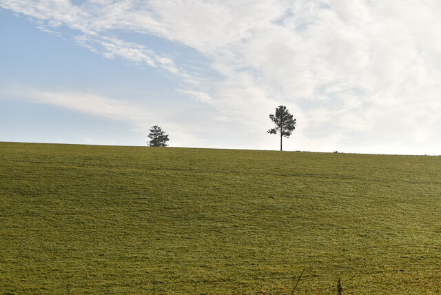
Piece Wood is a mixed woodland, predominantly consisting of broadleaf trees such as oak, beech, and ash. The diverse array of tree species creates a rich and vibrant habitat for various flora and fauna. Bluebells carpet the forest floor in spring, creating a stunning display of color, while the canopy of trees provides a cooling shade during hot summer months.

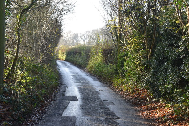
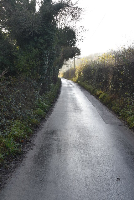
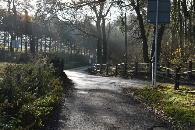
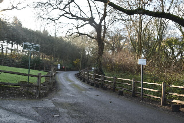
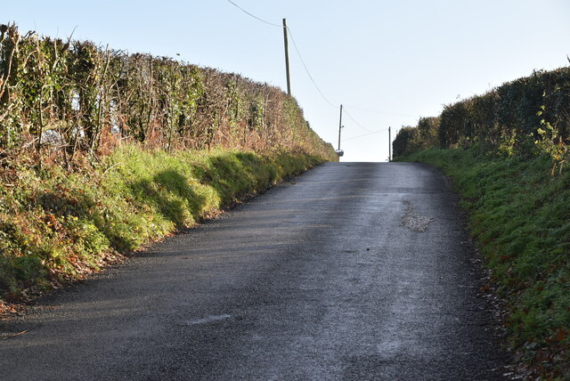
The woodland is crisscrossed by several well-maintained footpaths, allowing visitors to explore its beauty at their own pace. These paths lead to hidden corners and secluded spots, perfect for picnics or simply immersing oneself in the peaceful surroundings. There are also designated trails for cycling and horse riding, catering to a range of outdoor enthusiasts.

Wildlife thrives within Piece Wood, with sightings of deer, badgers, foxes, and various bird species being common. Nature lovers will delight in observing the diverse range of flora and fauna that call this woodland home.

Managed by the local council, Piece Wood is open to the public year-round, with free admission. It attracts visitors from both near and far, who come to enjoy the tranquility and natural beauty it offers. Whether it's a leisurely stroll, a family outing, or a nature lover's retreat, Piece Wood in Kent is a haven for those seeking solace in the midst of nature.

If you have any feedback on the listing, please let us know in the comments section below.

Piece Wood Images

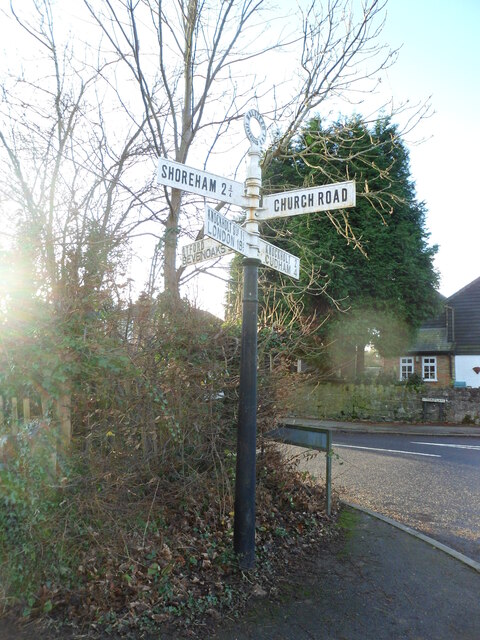
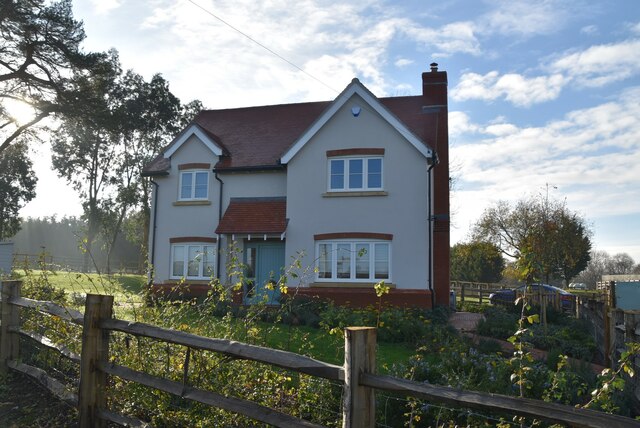
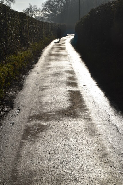
Images are sourced within 2km of 51.321958/0.11635151 or Grid Reference TQ4760. Thanks to Geograph Open Source API. All images are credited.

Direction Sign – Signpost on the crossroads in Halstead Located on the east side of the crossroads of Knockholt Road. Church Road, Shoreham Lane and Otford Lane in Halstead parish. 5 arms and annulus finial. See also <a title="https://www.geograph.org.uk/photo/6614724" href="https://www.geograph.org.uk/photo/6614724">Link</a>.

Milestone Society National ID: KE_TQ4861
Direction Sign – Signpost on the crossroads in Halstead
Located on the east side of the crossroads of Knockholt Road. Church Road, Shoreham Lane and Otford Lane in Halstead parish. 5 arms and annulus finial. See also Link. Milestone Society National ID: KE_TQ4861
Shorters Oast Fake square kiln oast house.
Shorters Oast
Fake square kiln oast house.
Pratt's Bottom Village Hall A village hall is usually a building within a village which contains at least one large room, usually owned by and run for the benefit of the local community. Such a hall is typically used for a variety of public and private events, such as parish council meetings, sports club functions, local drama productions, dances, jumble sales and private parties. Village halls sometimes have charitable status. They are occasionally called the village institute rather than village hall or community centres.
Pratt's Bottom Village Hall
A village hall is usually a building within a village which contains at least one large room, usually owned by and run for the benefit of the local community. Such a hall is typically used for a variety of public and private events, such as parish council meetings, sports club functions, local drama productions, dances, jumble sales and private parties. Village halls sometimes have charitable status. They are occasionally called the village institute rather than village hall or community centres.
Norstead Lane
Norstead Lane
Norstead Lane
Norstead Lane
Norstead Lane
Norstead Lane
Norstead Lane
Norstead Lane
Pasture by Norstead Lane
Fairtrough Farm
Fairtrough Farm
Norstead Lane, Charmwood Lane junction
Road to Norstead Manor Farm
Port Hill
Port Hill
Sheep, Fairtrough Farm
Fairtrough Farm
Fairtrough Farm
Budgin's Hill
Budgin's Hill
Roadsign, Budgin's Hill
Fairtrough Farm
Fairtrough Farm
Fairtrough Rd
Fairtrough Rd
Show me another place!

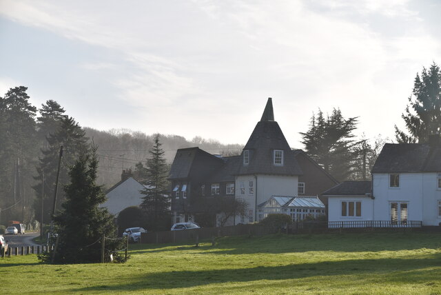
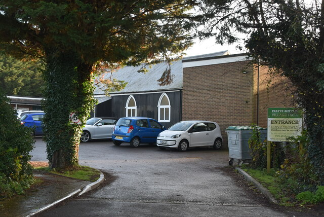
Piece Wood is located at Grid Ref: TQ4760 (Lat: 51.321958, Lng: 0.11635151)

Administrative County: Kent

District: Sevenoaks

Police Authority: Kent

What 3 Words

///banks.ahead.bind. Near Sundridge, Kent

Related Wikis

St Katharine's Church, Knockholt

St Katharine's Church is an Anglican parish church in the village of Knockholt and the Sevenoaks deanery. St Katharine's and St Margaret's came together...

Knockholt

Knockholt is a village and civil parish in the Sevenoaks District of Kent, England. It is located 5 mi (8 km) north west of Sevenoaks & 5.7 mi (9.2 km...

St Margaret's Church, Halstead

St Margaret's Church is an Anglican parish church in the village of Halstead and the Sevenoaks deanery, although the church also serves the village of...

Halstead, Kent

Halstead is a village and civil parish in the Sevenoaks District of Kent, England. It is located 4.7 miles south east of Orpington & 6.1 miles north west...

Pratt's Bottom

Pratt's Bottom is a village in Greater London, England, within the London Borough of Bromley and, prior to 1965, within the historic county of Kent. It...

Fort Halstead

Fort Halstead was a research site of the Defence Science and Technology Laboratory (Dstl), an executive agency of the UK Ministry of Defence. It is situated...

London Borough of Bromley

The London Borough of Bromley ( ) is the largest and southeasternmost of the London boroughs that make up Greater London, bordering the county of Kent...

Hewitt's Chalk Bank

Hewitt's Chalk Bank is a 4-hectare (10-acre) nature reserve north-east of Pratt's Bottom in the London Borough of Bromley. It is managed by the Kent Wildlife...

Nearby Amenities

Located within 500m of 51.321958,0.11635151
Hunter House
Building: yes
Lat/Long: 51.3228785/0.1232397
Bus Stop
Hail & Ride Deerleap Lane
Naptan AtcoCode: 2400107775
Physically Present: no
Public Transport: platform
Lat/Long: 51.3243865/0.1215618
Bus Stop
Hail & Ride Deerleap Lane
Naptan AtcoCode: 2400107773
Physically Present: no
Public Transport: platform
Lat/Long: 51.3242603/0.1214621
Power: pole
Lat/Long: 51.3221428/0.1099538
Power: pole
Lat/Long: 51.3246775/0.1125386
Power: pole
Lat/Long: 51.3235554/0.1122698
Power: pole
Lat/Long: 51.3257744/0.1127992
Communication: pole
Lat/Long: 51.3207344/0.1225155
Communication: pole
Lat/Long: 51.3214159/0.1213726
Communication: pole
Lat/Long: 51.321774/0.1200607
Communication: pole
Lat/Long: 51.3210502/0.1193322
Communication: pole
Lat/Long: 51.32009/0.1182488
Communication: pole
Lat/Long: 51.3191301/0.1171241
Communication: pole
Lat/Long: 51.3222737/0.1205423
Communication: pole
Lat/Long: 51.3223135/0.1196964
Power: pole
Lat/Long: 51.3231599/0.1131114
The data included in this document is from www.openstreetmap.org. The data is made available under ODbL.

Have you been to Piece Wood?

Leave your review of Piece Wood below (or comments, questions and feedback).