Lower Randle's Wood

Wood, Forest in Kent Sevenoaks

England

Lower Randle's Wood

Direction Sign – Signpost on the crossroads in Halstead Located on the east side of the crossroads of Knockholt Road. Church Road, Shoreham Lane and Otford Lane in Halstead parish. 5 arms and annulus finial. See also <a title="https://www.geograph.org.uk/photo/6614724" href="https://www.geograph.org.uk/photo/6614724">Link</a>.

Milestone Society National ID: KE_TQ4861
Direction Sign – Signpost on the crossroads in Halstead Credit: John V Nicholls

Lower Randle's Wood is a picturesque woodland area located in Kent, England. Covering an expansive area of approximately 100 acres, this enchanting forest is nestled in the heart of the Kent Downs, an Area of Outstanding Natural Beauty.

The wood is predominantly composed of a diverse mix of native tree species, including oak, ash, beech, and birch, which create a rich and vibrant canopy over the forest floor. The dense foliage provides a sanctuary for an array of wildlife, attracting a wide variety of bird species, small mammals, and insects.

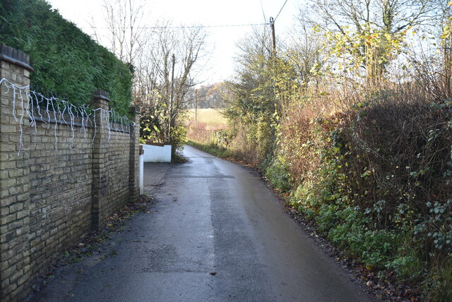
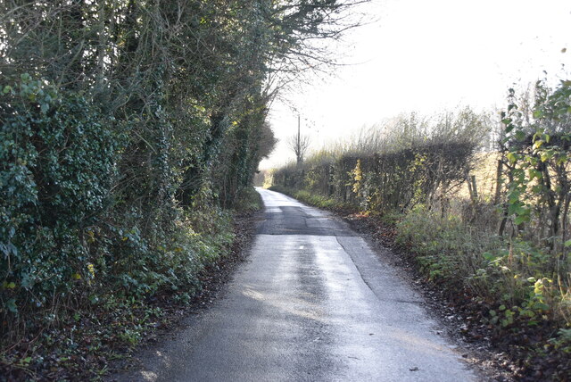
Lower Randle's Wood offers visitors a tranquil and peaceful setting to escape the hustle and bustle of everyday life. Its well-maintained footpaths meander through the woodland, leading visitors on a delightful journey through ancient trees and woodland glades. The woodland floor is adorned with a carpet of wildflowers during the spring and summer months, adding a burst of color to the serene surroundings.

Nature enthusiasts will appreciate the abundance of wildlife that calls Lower Randle's Wood home. Birdwatchers can spot species such as woodpeckers, bullfinches, and chiffchaffs, while nature photographers can capture the beauty of butterflies, squirrels, and deer that roam freely within the forest.

Lower Randle's Wood is also a popular spot for outdoor activities, including hiking, cycling, and nature walks. The wood is well-equipped with picnic areas, allowing visitors to enjoy a leisurely lunch surrounded by nature's beauty.

Overall, Lower Randle's Wood in Kent is a haven of natural beauty, offering visitors the opportunity to connect with nature and experience the tranquility of a woodland setting.

If you have any feedback on the listing, please let us know in the comments section below.

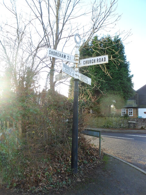
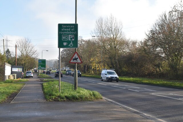
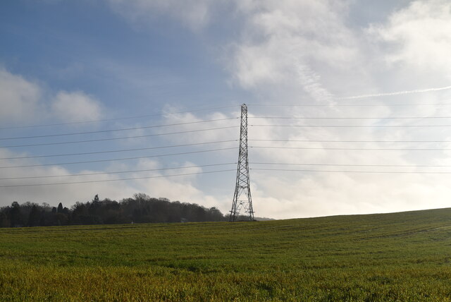
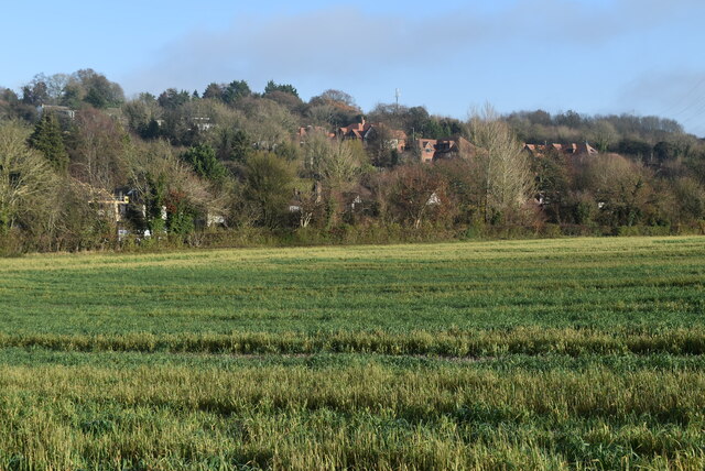
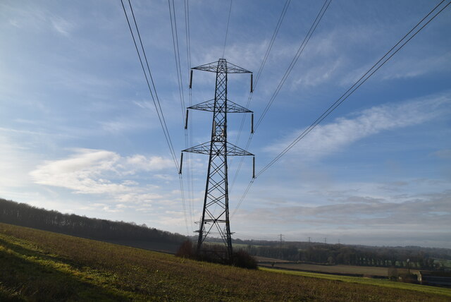
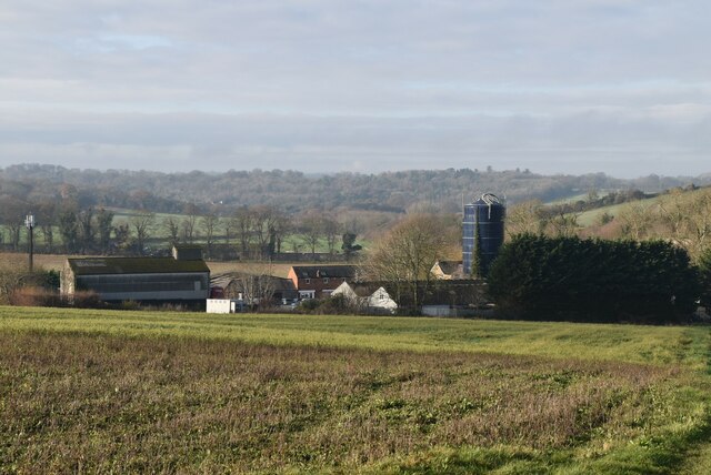
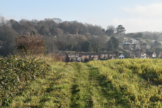
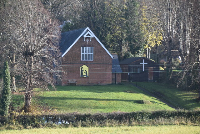
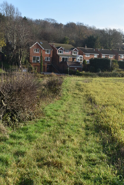
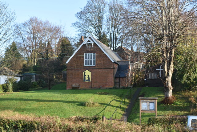
Lower Randle's Wood Images

Images are sourced within 2km of 51.327341/0.11408737 or Grid Reference TQ4760. Thanks to Geograph Open Source API. All images are credited.

Direction Sign – Signpost on the crossroads in Halstead Located on the east side of the crossroads of Knockholt Road. Church Road, Shoreham Lane and Otford Lane in Halstead parish. 5 arms and annulus finial. See also <a title="https://www.geograph.org.uk/photo/6614724" href="https://www.geograph.org.uk/photo/6614724">Link</a>.

Milestone Society National ID: KE_TQ4861
Direction Sign – Signpost on the crossroads in Halstead
Located on the east side of the crossroads of Knockholt Road. Church Road, Shoreham Lane and Otford Lane in Halstead parish. 5 arms and annulus finial. See also Link. Milestone Society National ID: KE_TQ4861
Sevenoaks Rd The A21 is a 63 mile major trunk road running  from Lewisham in Greater London to Hastings, East Sussex. The road is broken up by the M25 motorway between junction 4 and 5.
Wikipedia <span class="nowrap"><a title="http://en.wikipedia.org/wiki/A21_road_(England)" rel="nofollow ugc noopener" href="http://en.wikipedia.org/wiki/A21_road_(England)">Link</a><img style="margin-left:2px;" alt="External link" title="External link - shift click to open in new window" src="https://s1.geograph.org.uk/img/external.png" width="10" height="10"/></span>
Sevenoaks Rd
The A21 is a 63 mile major trunk road running from Lewisham in Greater London to Hastings, East Sussex. The road is broken up by the M25 motorway between junction 4 and 5. Wikipedia LinkExternal link
Pylon above Sevenoaks Rd
Farmland near Sevenoaks Rd
Charmwood Farm
Charmwood Farm
Footpath to Pratt's Bottom
All Souls' Church
All Souls' Church
Footpath to Pratt's Bottom
All Souls' Church
All Souls' Church
Rushmore Hill
Rushmore Hill
Pratt's Bottom
Pratt's Bottom
The Bulls Head, Pratt's Bottom
Shorters Oast Fake square kiln oast house.
Shorters Oast
Fake square kiln oast house.
Pratt's Bottom Village Hall A village hall is usually a building within a village which contains at least one large room, usually owned by and run for the benefit of the local community. Such a hall is typically used for a variety of public and private events, such as parish council meetings, sports club functions, local drama productions, dances, jumble sales and private parties. Village halls sometimes have charitable status. They are occasionally called the village institute rather than village hall or community centres.
Pratt's Bottom Village Hall
A village hall is usually a building within a village which contains at least one large room, usually owned by and run for the benefit of the local community. Such a hall is typically used for a variety of public and private events, such as parish council meetings, sports club functions, local drama productions, dances, jumble sales and private parties. Village halls sometimes have charitable status. They are occasionally called the village institute rather than village hall or community centres.
Norstead Lane
Norstead Lane
Norstead Lane
Norstead Lane
Norstead Lane
Norstead Lane
Show me another place!

Lower Randle's Wood is located at Grid Ref: TQ4760 (Lat: 51.327341, Lng: 0.11408737)

Administrative County: Kent

District: Sevenoaks

Police Authority: Kent

What 3 Words

///begun.intelligible.cross. Near Farnborough, London

Related Wikis

St Margaret's Church, Halstead

St Margaret's Church is an Anglican parish church in the village of Halstead and the Sevenoaks deanery, although the church also serves the village of...
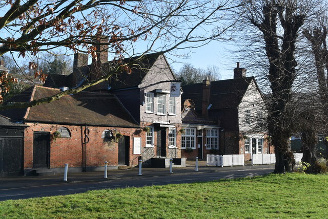
Pratt's Bottom

Pratt's Bottom is a village in Greater London, England, within the London Borough of Bromley and, prior to 1965, within the historic county of Kent. It...
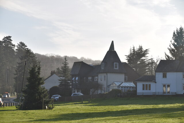
Halstead, Kent

Halstead is a village and civil parish in the Sevenoaks District of Kent, England. It is located 4.7 miles south east of Orpington & 6.1 miles north west...

St Katharine's Church, Knockholt

St Katharine's Church is an Anglican parish church in the village of Knockholt and the Sevenoaks deanery. St Katharine's and St Margaret's came together...

Knockholt

Knockholt is a village and civil parish in the Sevenoaks District of Kent, England. It is located 5 mi (8 km) north west of Sevenoaks & 5.7 mi (9.2 km...

Hewitt's Chalk Bank

Hewitt's Chalk Bank is a 4-hectare (10-acre) nature reserve north-east of Pratt's Bottom in the London Borough of Bromley. It is managed by the Kent Wildlife...

London Borough of Bromley

The London Borough of Bromley ( ) is the largest and southeasternmost of the London boroughs that make up Greater London, bordering the county of Kent...

Knockholt railway station

Knockholt railway station is on the South Eastern Main Line, located in the London Borough of Bromley, Greater London. It is 16 miles 44 chains (26.6 km...

Nearby Amenities

Located within 500m of 51.327341,0.11408737
Barrier: stile
Foot: yes
Material: wood
Source: survey
Stile: stepover
Lat/Long: 51.3275674/0.1140245
Barrier: stile
Foot: yes
Material: wood
Source: survey
Stile: stepover
Lat/Long: 51.3277629/0.1120099
Barrier: stile
Foot: yes
Material: wood
Source: survey
Stile: stepover
Lat/Long: 51.3281271/0.1103692
Barrier: stile
Foot: yes
Material: metal
Stile: squeezer
Lat/Long: 51.3296417/0.1182075
Barrier: stile
Foot: yes
Material: wood
Source: survey
Stile: stepover
Lat/Long: 51.3267101/0.1097259
Barrier: kissing_gate
Foot: yes
Material: wood
Lat/Long: 51.329979/0.1166767
Entrance: yes
Lat/Long: 51.3291112/0.1178101
Bus Stop
Hail & Ride Coolings Garden Centre
Naptan AtcoCode: 2400107771
Physically Present: no
Public Transport: platform
Lat/Long: 51.3294716/0.1175438
Bus Stop
Hail & Ride Coolings Garden Centre
Naptan AtcoCode: 2400107769
Physically Present: no
Public Transport: platform
Lat/Long: 51.3293857/0.1173959
Power: pole
Lat/Long: 51.3246775/0.1125386
Power: pole
Lat/Long: 51.3235554/0.1122698
Power: pole
Lat/Long: 51.3257744/0.1127992
Power: pole
Lat/Long: 51.3268493/0.1130858
Power: pole
Lat/Long: 51.327021/0.1100586
Addr Housename: Tudor House
Lat/Long: 51.3274731/0.1186047
Addr Housename: Derya
Lat/Long: 51.3287045/0.1190156
Addr Housename: Oakfield
Lat/Long: 51.327867/0.119492
Addr Housename: The Pines
Lat/Long: 51.3274367/0.1203058
Power: pole
Lat/Long: 51.3304595/0.117372
Power: pole
Lat/Long: 51.3287762/0.1150093
Power: pole
Lat/Long: 51.3300749/0.1160107
Power: pole
Lat/Long: 51.3295273/0.1155087
Communication: pole
Lat/Long: 51.3277915/0.1178315
Communication: pole
Lat/Long: 51.3276725/0.117228
Information: coolings_Sign
Tourism: information
Lat/Long: 51.3290613/0.1178212
Power: pole
Lat/Long: 51.3277693/0.11412
Power: pole
Lat/Long: 51.3231599/0.1131114
Power: pole
Lat/Long: 51.3269756/0.1132911
Power: pole
Lat/Long: 51.3275331/0.1138843
Post Box
Collection Times: Mo-Fr 09:00; Sa 07:00; Su off
Colour: Red
Ref: TN14 69
Royal Cypher: EIIR
Royal Cypher Wikidata: Q33102113
Lat/Long: 51.3267463/0.1196353
The data included in this document is from www.openstreetmap.org. The data is made available under ODbL.

Have you been to Lower Randle's Wood?

Leave your review of Lower Randle's Wood below (or comments, questions and feedback).