Closeheath Wood
Wood, Forest in Kent Sevenoaks
England
Closeheath Wood
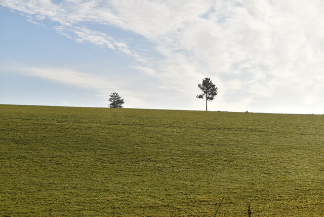
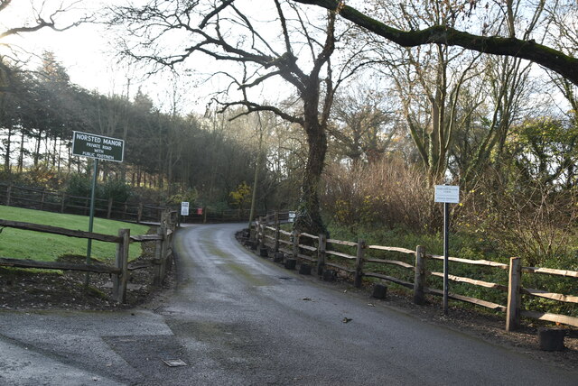
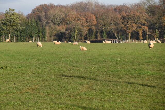
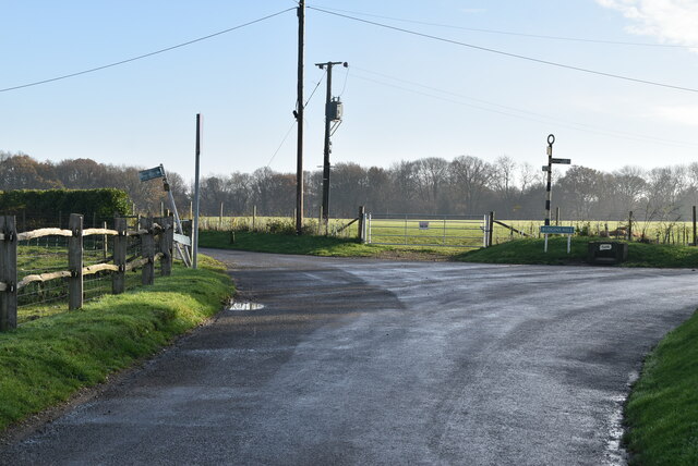
Closeheath Wood is a picturesque woodland located in the county of Kent, England. Covering an area of approximately 50 acres, it is a popular destination for nature enthusiasts and outdoor lovers. The wood is characterized by its diverse range of tree species, including oak, beech, ash, and birch, which create a stunning canopy of foliage throughout the year.
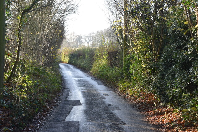
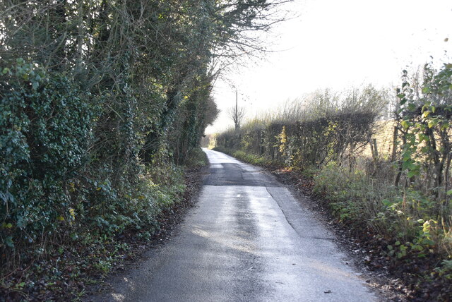
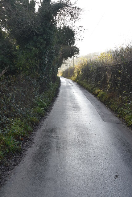
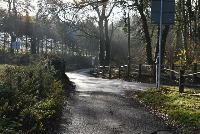
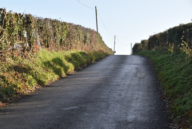
The woodland boasts an extensive network of walking trails that wind their way through the trees, offering visitors the opportunity to explore and immerse themselves in the natural beauty of the area. These trails vary in difficulty, catering to both casual strollers and more experienced hikers.
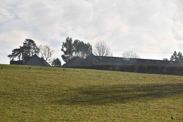
Closeheath Wood is known for its rich biodiversity, providing a habitat for a wide variety of wildlife. Birdwatchers can spot an array of species, including woodpeckers, owls, and various songbirds. Small mammals such as foxes, rabbits, and squirrels are also commonly sighted within the woodland.
In addition to its natural beauty, Closeheath Wood is a designated Site of Special Scientific Interest (SSSI) due to its ecological importance. The wood contains several ancient trees that are hundreds of years old, contributing to its unique and valuable ecosystem.
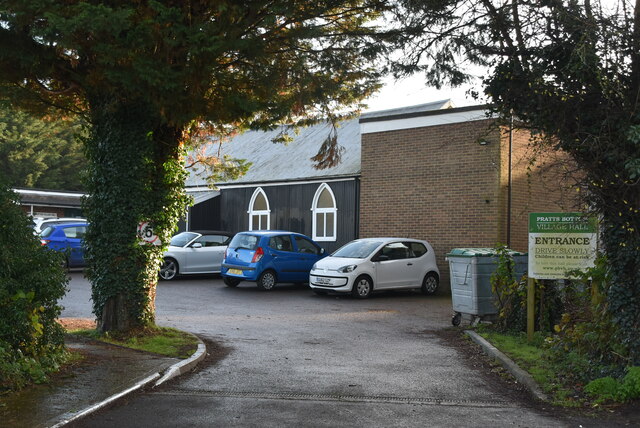
The wood is easily accessible, with a car park located nearby, and is a popular destination for families, dog walkers, and nature enthusiasts alike. Its tranquil atmosphere and scenic surroundings make it an ideal location for those seeking a peaceful escape from the hustle and bustle of everyday life.
If you have any feedback on the listing, please let us know in the comments section below.
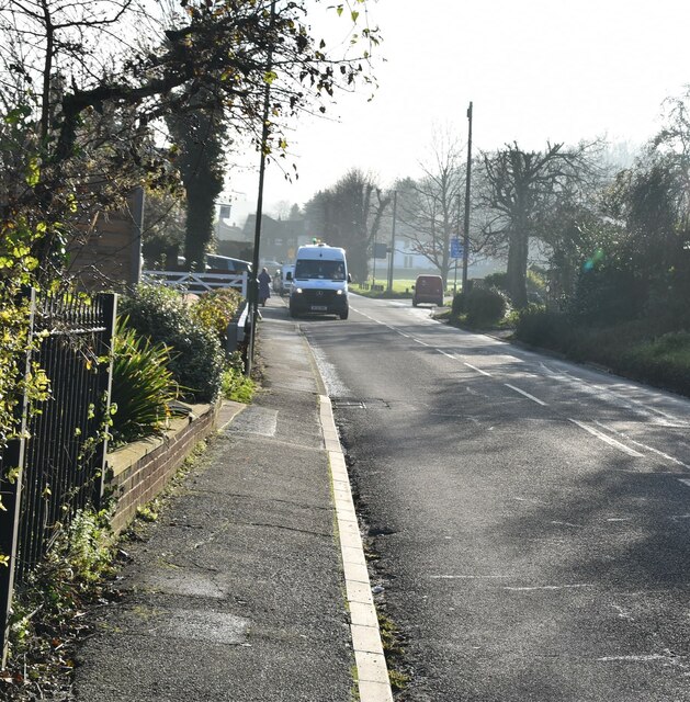
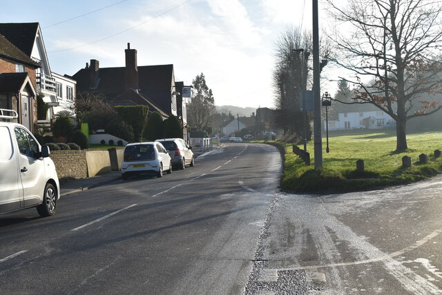
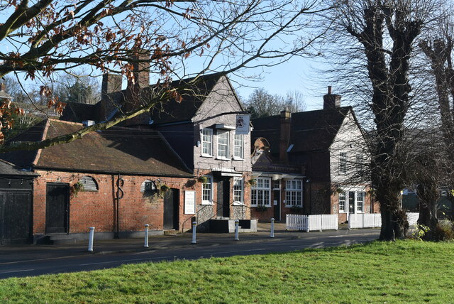
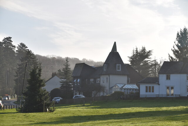
Closeheath Wood Images
Images are sourced within 2km of 51.324099/0.119292 or Grid Reference TQ4760. Thanks to Geograph Open Source API. All images are credited.
Closeheath Wood is located at Grid Ref: TQ4760 (Lat: 51.324099, Lng: 0.119292)
Administrative County: Kent
District: Sevenoaks
Police Authority: Kent
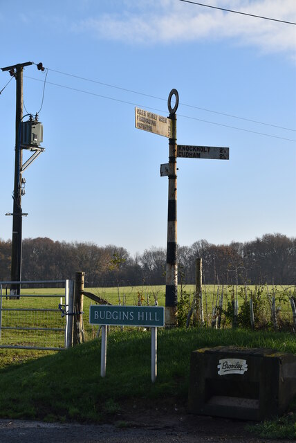
What 3 Words
///major.lance.crop. Near Otford, Kent
Nearby Locations
Related Wikis

St Margaret's Church, Halstead
St Margaret's Church is an Anglican parish church in the village of Halstead and the Sevenoaks deanery, although the church also serves the village of...

Halstead, Kent
Halstead is a village and civil parish in the Sevenoaks District of Kent, England. It is located 4.7 miles south east of Orpington & 6.1 miles north west...

Pratt's Bottom
Pratt's Bottom is a village in Greater London, England, within the London Borough of Bromley and, prior to 1965, within the historic county of Kent. It...

St Katharine's Church, Knockholt
St Katharine's Church is an Anglican parish church in the village of Knockholt and the Sevenoaks deanery. St Katharine's and St Margaret's came together...
Knockholt
Knockholt is a village and civil parish in the Sevenoaks District of Kent, England. It is located 5 mi (8 km) north west of Sevenoaks & 5.7 mi (9.2 km...

Hewitt's Chalk Bank
Hewitt's Chalk Bank is a 4-hectare (10-acre) nature reserve north-east of Pratt's Bottom in the London Borough of Bromley. It is managed by the Kent Wildlife...

Fort Halstead
Fort Halstead was a research site of the Defence Science and Technology Laboratory (Dstl), an executive agency of the UK Ministry of Defence. It is situated...

Badgers Mount
Badgers Mount is a village and civil parish in the Sevenoaks District of Kent, England It is located 3.6 miles south east of Orpington and 5.6 miles north...
Nearby Amenities
Located within 500m of 51.324099,0.119292Have you been to Closeheath Wood?
Leave your review of Closeheath Wood below (or comments, questions and feedback).