Perry Wood
Wood, Forest in Kent Sevenoaks
England
Perry Wood
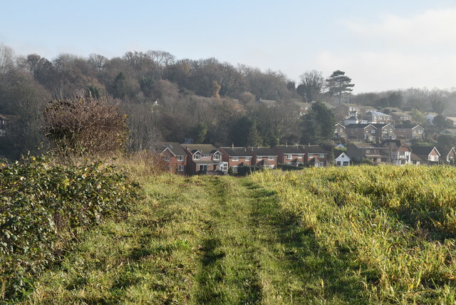
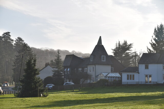
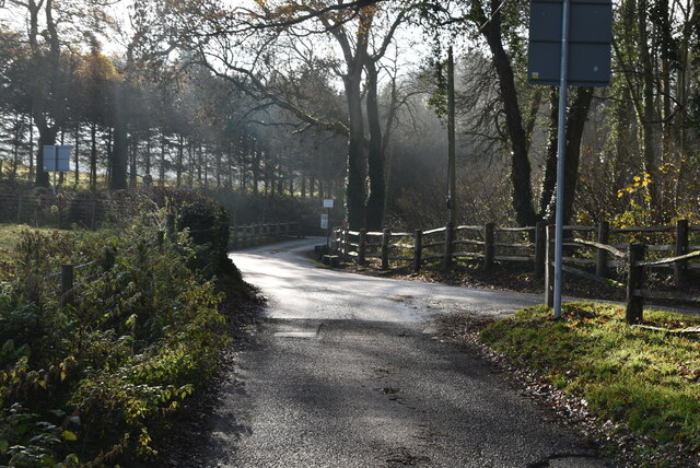
Perry Wood is a picturesque forest located in the county of Kent, England. Covering an area of approximately 200 hectares, this woodland is a haven for nature enthusiasts and outdoor adventurers. The wood is situated near the village of Selling, just a few miles southeast of the historic city of Canterbury.
As one of the largest ancient woodlands in Kent, Perry Wood boasts a diverse range of flora and fauna. The forest is primarily composed of oak and ash trees, with pockets of beech, birch, and hornbeam adding to its beauty. The dense canopy of the wood creates a tranquil and serene atmosphere, making it an ideal spot for peaceful walks and gentle hikes.
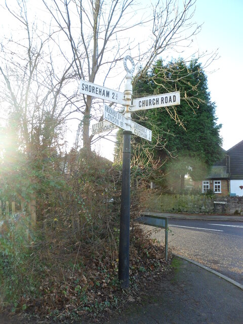
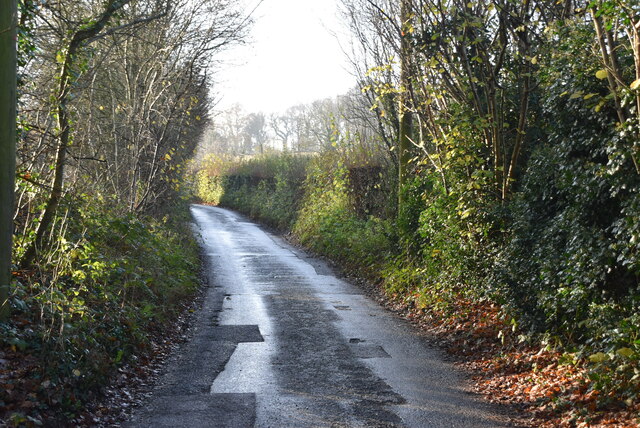
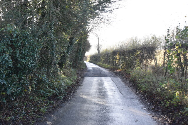
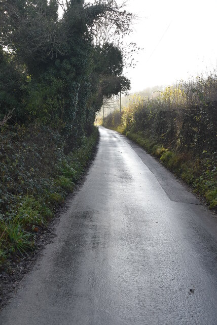
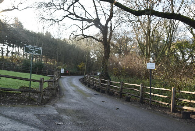
The woodland is crisscrossed with a network of well-maintained footpaths and trails, enabling visitors to explore the area at their own pace. These paths lead to various points of interest within the wood, including a charming pond and several clearings that offer stunning views of the surrounding countryside. In spring, the forest floor comes alive with a vibrant carpet of bluebells, creating a truly magical spectacle.
Perry Wood is also home to a rich variety of wildlife. Birdwatchers can spot numerous species, including woodpeckers, nightingales, and tawny owls. Deer, foxes, and badgers are often spotted roaming the forest, adding to the sense of wilderness and natural beauty.
Overall, Perry Wood is a cherished natural gem in the heart of Kent, offering a peaceful retreat for those seeking to immerse themselves in the tranquility of nature.
If you have any feedback on the listing, please let us know in the comments section below.
Perry Wood Images
Images are sourced within 2km of 51.324695/0.10922908 or Grid Reference TQ4760. Thanks to Geograph Open Source API. All images are credited.
Perry Wood is located at Grid Ref: TQ4760 (Lat: 51.324695, Lng: 0.10922908)
Administrative County: Kent
District: Sevenoaks
Police Authority: Kent
What 3 Words
///bless.rather.pirate. Near Farnborough, London
Nearby Locations
Related Wikis

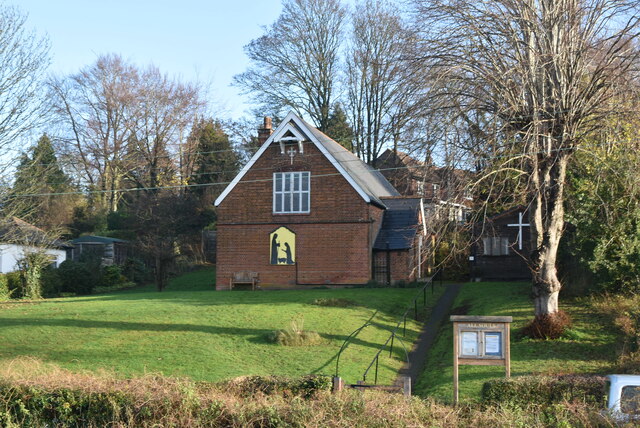
St Katharine's Church, Knockholt
St Katharine's Church is an Anglican parish church in the village of Knockholt and the Sevenoaks deanery. St Katharine's and St Margaret's came together...

Knockholt
Knockholt is a village and civil parish in the Sevenoaks District of Kent, England. It is located 5 mi (8 km) north west of Sevenoaks & 5.7 mi (9.2 km...

Pratt's Bottom
Pratt's Bottom is a village in Greater London, England, within the London Borough of Bromley and, prior to 1965, within the historic county of Kent. It...

St Margaret's Church, Halstead
St Margaret's Church is an Anglican parish church in the village of Halstead and the Sevenoaks deanery, although the church also serves the village of...
Halstead, Kent
Halstead is a village and civil parish in the Sevenoaks District of Kent, England. It is located 4.7 miles south east of Orpington & 6.1 miles north west...

London Borough of Bromley
The London Borough of Bromley ( ) is the largest and southeasternmost of the London boroughs that make up Greater London, bordering the county of Kent...

Hewitt's Chalk Bank
Hewitt's Chalk Bank is a 4-hectare (10-acre) nature reserve north-east of Pratt's Bottom in the London Borough of Bromley. It is managed by the Kent Wildlife...
Hazelwood, London
Hazelwood is a hamlet in Greater London, England. It is located within the London Borough of Bromley, to the east of Downe. == References ==
Related Videos

Knockholt to Otford Walk: Exploring Scenic Trails in England | Hiking UK 🇬🇧
Join us as we embark on a picturesque journey along the Knockholt to Otford walk, a captivating trail in England. This scenic hike ...

Knockholt Circular via Downe and Cudham | Cool Dudes Walking Club
swcwalks #swcwalk7 A 13-mile stroll from Knockholt, round Pratt's Bottom, Downe, Cudham and back again. This walk was taken ...

Knockholt Circular: Scenic Hiking Trails Near London | UK Walking Tours 🇬🇧
Embark on an adventure as we explore the picturesque trails of the Knockholt Circular, a hidden gem near London. From its lush ...

swcwalks, swcwalk 37, Knockholt to Otford. 18/1/19.
A very decent walk for this walker's return from an enforced hiatus. This one, of around 8.7 miles, was a nicely-wooded saunter ...
Nearby Amenities
Located within 500m of 51.324695,0.10922908Have you been to Perry Wood?
Leave your review of Perry Wood below (or comments, questions and feedback).