Park Wood

Wood, Forest in Cambridgeshire South Cambridgeshire

England

Park Wood

Mill Lane, Sawston One of two pre-Worboys road signs that can be found either side of the local school. This sign is across the road from the local fire station.
Mill Lane, Sawston Credit: Richard Haughey

Park Wood is a quaint and picturesque woodland located in the county of Cambridgeshire, England. Covering an area of approximately 100 acres, this enchanting forest is a haven for nature enthusiasts and those seeking solace in the midst of nature's beauty.

Situated just a few miles away from the bustling city of Cambridge, Park Wood offers a serene and peaceful atmosphere, making it a popular destination for locals and tourists alike. The wood is predominantly composed of deciduous trees, including oak, beech, and birch, which create a vibrant and ever-changing landscape throughout the seasons.

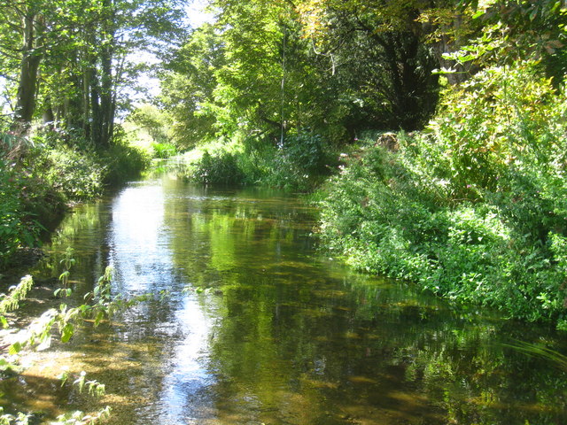
As visitors venture into the depths of Park Wood, they are greeted by a rich variety of flora and fauna. Wildflowers such as bluebells, primroses, and foxgloves carpet the forest floor, providing a colorful spectacle in spring. The wood is also home to a diverse range of wildlife, including deer, squirrels, and an array of bird species, making it a haven for birdwatchers.

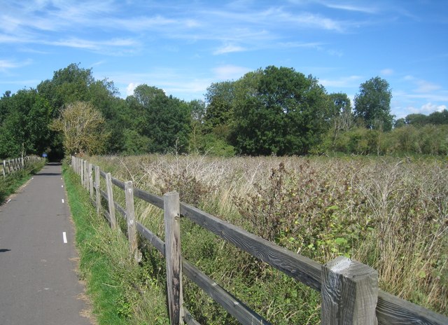
Several well-maintained footpaths wind their way through the wood, allowing visitors to explore its beauty at their own pace. These pathways offer a chance to discover hidden glades, tranquil ponds, and ancient trees that have stood the test of time.

Park Wood is not only a place of natural beauty but also of historical significance. Within its boundaries, there are remnants of an Iron Age settlement, indicating human presence in the area for centuries.

Overall, Park Wood in Cambridgeshire is a captivating and enchanting forest where visitors can immerse themselves in the wonders of nature, take a break from the urban chaos, and reconnect with the tranquility that only a woodland setting can provide.

If you have any feedback on the listing, please let us know in the comments section below.
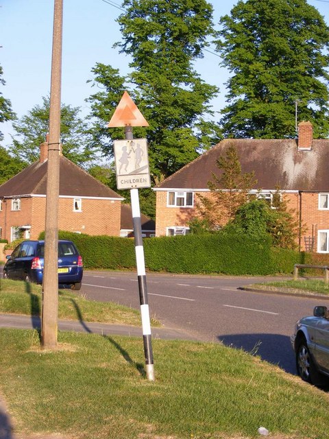
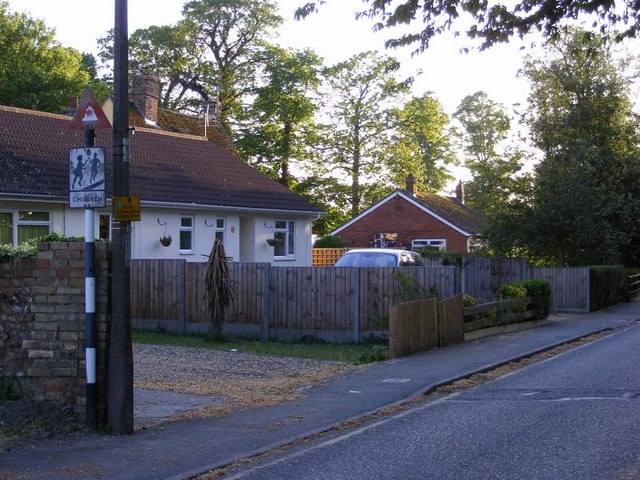
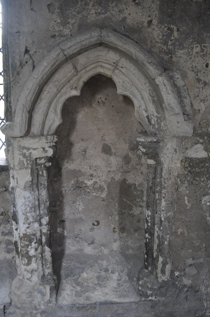
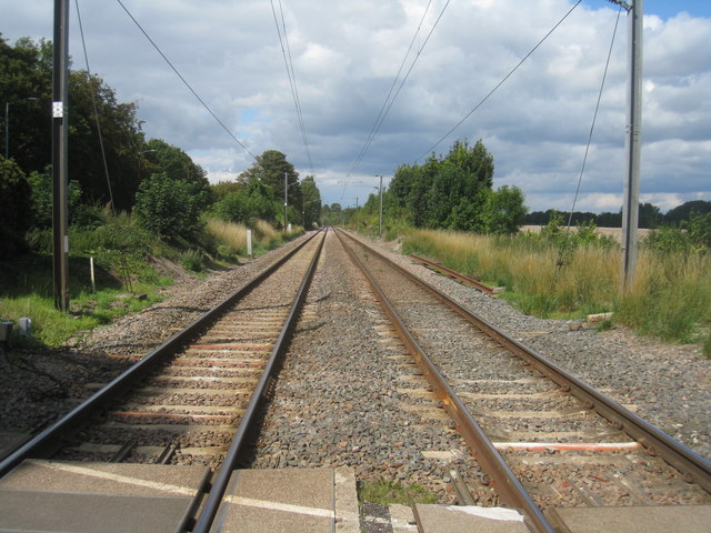
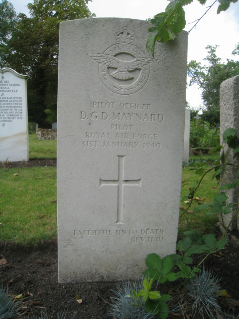
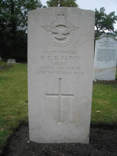
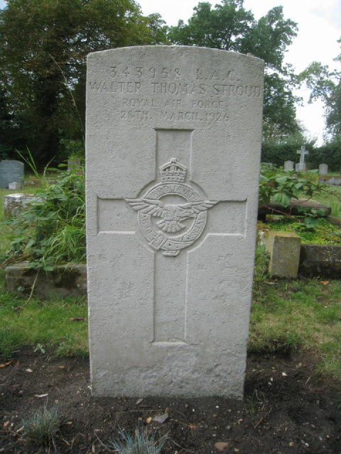
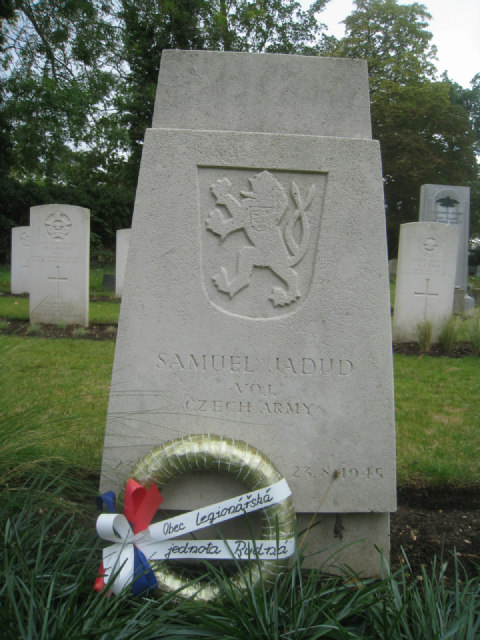
Park Wood Images

Images are sourced within 2km of 52.118769/0.14670623 or Grid Reference TL4748. Thanks to Geograph Open Source API. All images are credited.

Mill Lane, Sawston One of two pre-Worboys road signs that can be found either side of the local school. This sign is across the road from the local fire station.
Mill Lane, Sawston
One of two pre-Worboys road signs that can be found either side of the local school. This sign is across the road from the local fire station.
Mill Lane, Sawston Historic pre-Worboys school road sign as seen from entering from the High Street
Mill Lane, Sawston
Historic pre-Worboys school road sign as seen from entering from the High Street
Duxford Chapel A small 14th century chapel once part of hospital. The building is opened and run by English Heritage. See <span class="nowrap"><a title="http://www.english-heritage.org.uk/daysout/properties/duxford-chapel/" rel="nofollow ugc noopener" href="http://www.english-heritage.org.uk/daysout/properties/duxford-chapel/">Link</a><img style="margin-left:2px;" alt="External link" title="External link - shift click to open in new window" src="https://s1.geograph.org.uk/img/external.png" width="10" height="10"/></span>
Duxford Chapel
A small 14th century chapel once part of hospital. The building is opened and run by English Heritage. See LinkExternal link
This way to London Liverpool Street View from the Spicers crossing at Whittlesford.
This way to London Liverpool Street
View from the Spicers crossing at Whittlesford.
Whittlesford to Sawston National Cycle Network, Route 11 just after leaving the churchyard of St. Mary & St. Andrew.
Whittlesford to Sawston
National Cycle Network, Route 11 just after leaving the churchyard of St. Mary & St. Andrew.
River Cam near Mill Farm
Aircraftman 1st Cl. S.C. Dwyer
Flight Sergeant O.C. Tostevin
Flight Sergeant  M.B. Innes See <span class="nowrap"><a title="http://www.cwgc.org/search/casualty_details.aspx?casualty=2651937" rel="nofollow ugc noopener" href="http://www.cwgc.org/search/casualty_details.aspx?casualty=2651937">Link</a><img style="margin-left:2px;" alt="External link" title="External link - shift click to open in new window" src="https://s1.geograph.org.uk/img/external.png" width="10" height="10"/></span> for further details.
Flight Sergeant M.B. Innes
See LinkExternal link for further details.
Pilot Officer D.G.D. Maynard See <span class="nowrap"><a title="http://www.cwgc.org/search/casualty_details.aspx?casualty=2651943" rel="nofollow ugc noopener" href="http://www.cwgc.org/search/casualty_details.aspx?casualty=2651943">Link</a><img style="margin-left:2px;" alt="External link" title="External link - shift click to open in new window" src="https://s1.geograph.org.uk/img/external.png" width="10" height="10"/></span> for further details.
Pilot Officer D.G.D. Maynard
See LinkExternal link for further details.
Pilot Officer D.G.B. Paton See <span class="nowrap"><a title="http://www.cwgc.org/search/casualty_details.aspx?casualty=2651945" rel="nofollow ugc noopener" href="http://www.cwgc.org/search/casualty_details.aspx?casualty=2651945">Link</a><img style="margin-left:2px;" alt="External link" title="External link - shift click to open in new window" src="https://s1.geograph.org.uk/img/external.png" width="10" height="10"/></span> for further details.
Pilot Officer D.G.B. Paton
See LinkExternal link for further details.
Flight Sergeant  P.A. Gibbs See <span class="nowrap"><a title="http://www.cwgc.org/search/casualty_details.aspx?casualty=2651933" rel="nofollow ugc noopener" href="http://www.cwgc.org/search/casualty_details.aspx?casualty=2651933">Link</a><img style="margin-left:2px;" alt="External link" title="External link - shift click to open in new window" src="https://s1.geograph.org.uk/img/external.png" width="10" height="10"/></span> for further details.
Flight Sergeant P.A. Gibbs
See LinkExternal link for further details.
Leading Aircraftman W.T. Stroud
Sergeant D. Wilcox See <span class="nowrap"><a title="http://www.cwgc.org/search/casualty_details.aspx?casualty=2651954" rel="nofollow ugc noopener" href="http://www.cwgc.org/search/casualty_details.aspx?casualty=2651954">Link</a><img style="margin-left:2px;" alt="External link" title="External link - shift click to open in new window" src="https://s1.geograph.org.uk/img/external.png" width="10" height="10"/></span> for further details.
Sergeant D. Wilcox
See LinkExternal link for further details.
Samuel Jadud Volunteer Czech Army.
Samuel Jadud
Volunteer Czech Army.
Porucznik M.J. Skalski The equivalent rank for Porucznik is Lieutenant. The initials A.F.D.U. stand for The Air Fighting Development Unit. This was an air technical intelligence part of the Royal Air Force which developed operational tactics and tested captured enemy aircraft. It was based at Royal Air Force Stations at Northolt, Duxford and Wittering.
Porucznik M.J. Skalski
The equivalent rank for Porucznik is Lieutenant. The initials A.F.D.U. stand for The Air Fighting Development Unit. This was an air technical intelligence part of the Royal Air Force which developed operational tactics and tested captured enemy aircraft. It was based at Royal Air Force Stations at Northolt, Duxford and Wittering.
Flying Officer H.V. Kerckhove
Leading Aircraftman Jaroslav Zavadil See <span class="nowrap"><a title="http://www.cwgc.org/search/casualty_details.aspx?casualty=2651955" rel="nofollow ugc noopener" href="http://www.cwgc.org/search/casualty_details.aspx?casualty=2651955">Link</a><img style="margin-left:2px;" alt="External link" title="External link - shift click to open in new window" src="https://s1.geograph.org.uk/img/external.png" width="10" height="10"/></span> for further details.
Leading Aircraftman Jaroslav Zavadil
See LinkExternal link for further details.
Show me another place!

Park Wood is located at Grid Ref: TL4748 (Lat: 52.118769, Lng: 0.14670623)

Administrative County: Cambridgeshire

District: South Cambridgeshire

Police Authority: Cambridgeshire

What 3 Words

///paramedic.massaging.mocking. Near Whittlesford, Cambridgeshire

Related Wikis

South Cambridgeshire (UK Parliament constituency)

South Cambridgeshire is a constituency represented in the House of Commons of the UK Parliament since 2019 by Anthony Browne, a Conservative. == Constituency... ==

Borough Hill, Sawston

Borough Hill is a large multivallate hillfort near Sawston, Cambridgeshire, England. == Description == Borough Hill is an oval-shaped area measuring 430...

Whittlesford

Whittlesford is a village in Cambridgeshire, England, and also the name of an old hundred. The village is situated on the Granta branch of the River Cam...

Bottisham Village College

Bottisham Village College is a mixed secondary school located in Bottisham, Cambridgeshire, England. The school opened in 1937 as the second village college...

Dernford Fen

Dernford Fen is a 10.3-hectare (25-acre) biological Site of Special Scientific Interest north-west of Sawston in Cambridgeshire.The site is a rare surviving...

Sawston Village College

Sawston Village College is an academy school in Sawston, Cambridgeshire, England. It was previously the first community college in the country and the...

Spicer's Sports Ground

Spicers Sports Ground is a cricket ground in Sawston, Cambridgeshire. The first recorded match on the ground was in 1950, when Cambridgeshire played Huntingdonshire...
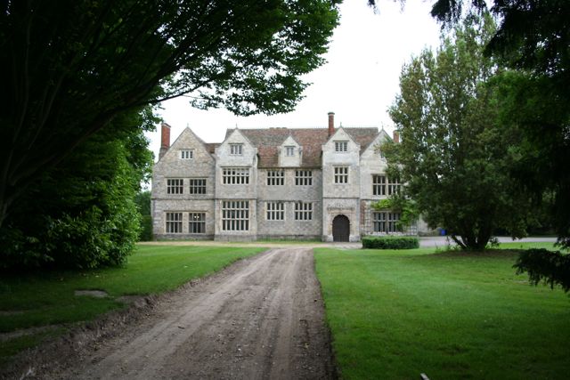
Sawston Hall

Sawston Hall is a Grade I listed Tudor manor house in Sawston, Cambridgeshire dating from the 16th century. It has many fine features, such as the magnificent...

Nearby Amenities

Located within 500m of 52.118769,0.14670623
Source: npe
Lat/Long: 52.11956/0.1533587
Post Box
Collection Times: Mo-Fr 09:00; Sa 07:00
Operator: Royal Mail
Post Box Type: lamp
Ref: CB22 543
Royal Cypher: EIIR
Royal Cypher Wikidata: Q33102113
Source: survey
Lat/Long: 52.1160167/0.1411913
Chestnuts
Landuse: farmyard
Source Name: OS Opendata S.V.
Lat/Long: 52.1229459/0.1488799
Fixme: Woodland and streams here to trace from OS S.V.
Lat/Long: 52.1197181/0.1418311
Guyed: yes
Height: 6
Line Attachment: anchor
Location Transition: yes
Material: wood
Power: pole
Lat/Long: 52.1221398/0.1505362
Power: pole
Lat/Long: 52.1218664/0.1455583
Power: pole
Lat/Long: 52.1217905/0.1472752
Power: pole
Lat/Long: 52.121168/0.1478438
Power: pole
Lat/Long: 52.1207597/0.1463361
Height: 7
Line Attachment: pin
Material: wood
Power: pole
Lat/Long: 52.1219387/0.1507025
Power: pole
Lat/Long: 52.1207036/0.1431979
Power: pole
Lat/Long: 52.1219257/0.1435037
Power: pole
Lat/Long: 52.1216754/0.1492814
Power: pole
Lat/Long: 52.1206741/0.1416103
Power: pole
Lat/Long: 52.1215567/0.1494102
Power: pole
Lat/Long: 52.1207334/0.1447697
Bench
Backrest: yes
Material: wood
Seats: 5
Lat/Long: 52.1156868/0.1509493
The data included in this document is from www.openstreetmap.org. The data is made available under ODbL.

Have you been to Park Wood?

Leave your review of Park Wood below (or comments, questions and feedback).