Battle's Wood

Wood, Forest in Essex Uttlesford

England

Battle's Wood

The Street, Manuden
The Street, Manuden Credit: David Howard

Battle's Wood is a picturesque woodland located in Essex, England. Situated near the village of Battlesbridge, the wood covers an area of approximately 35 hectares. It is primarily composed of mixed broadleaf trees, including oak, ash, beech, and birch, creating a diverse and vibrant ecosystem.

The wood boasts a rich history, dating back to the early medieval period when it served as a hunting ground for the nobility. Its name is derived from the Battle family, who owned the land in the 18th century. Today, Battle's Wood is open to the public and managed by the local council, offering a peaceful retreat for nature enthusiasts and visitors alike.

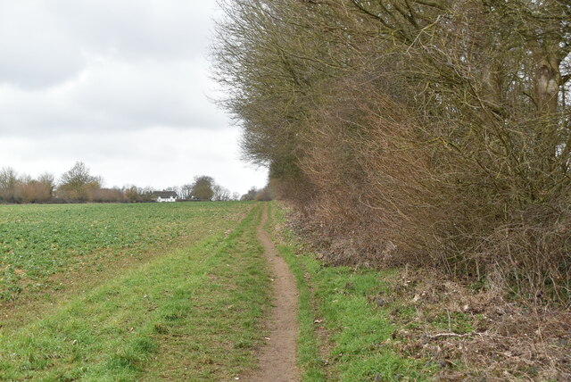
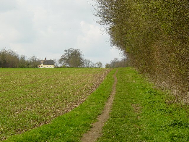
The woodland features a network of well-maintained footpaths and trails, allowing visitors to explore its beauty at their own pace. The paths wind through the trees, offering glimpses of the surrounding countryside and providing opportunities for bird watching and wildlife spotting. The wood is home to a variety of bird species, including woodpeckers, tawny owls, and various songbirds.

In addition to its natural beauty, Battle's Wood also offers recreational amenities such as picnic areas, benches, and designated areas for outdoor activities. The wood is a popular spot for families, dog walkers, and nature lovers, providing a serene environment for relaxation and enjoyment of the outdoors.

Overall, Battle's Wood in Essex is a charming woodland, steeped in history and abundant in natural beauty. With its diverse flora and fauna, well-maintained trails, and tranquil atmosphere, it is a true gem for those seeking a peaceful escape in the heart of the English countryside.

If you have any feedback on the listing, please let us know in the comments section below.

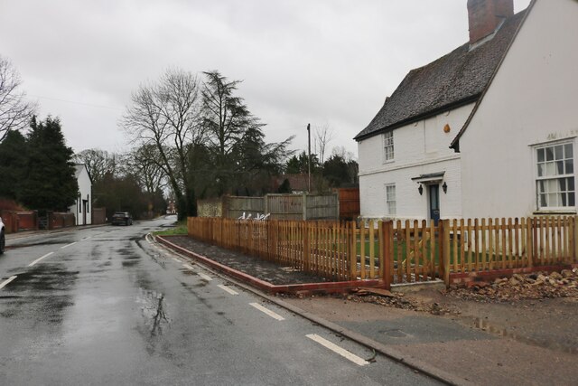
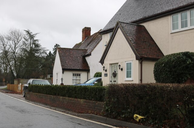
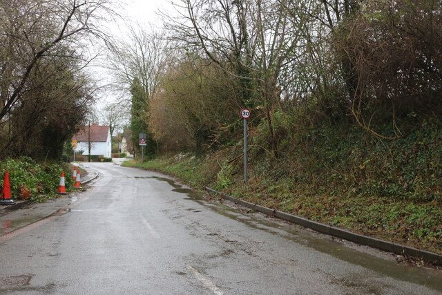
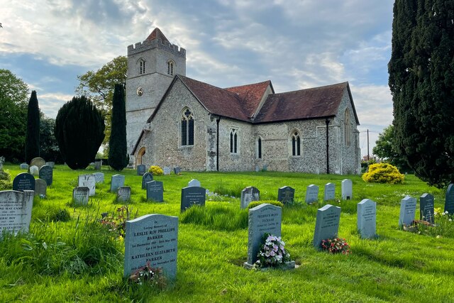
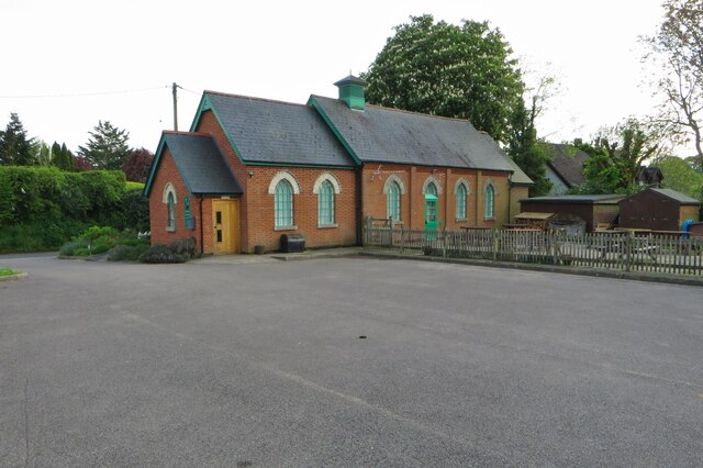
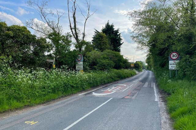
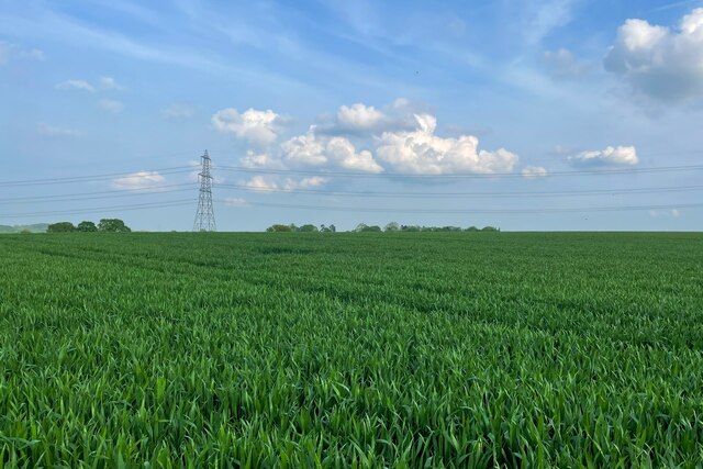
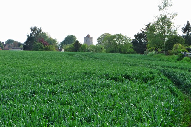
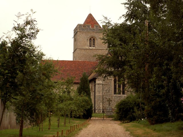
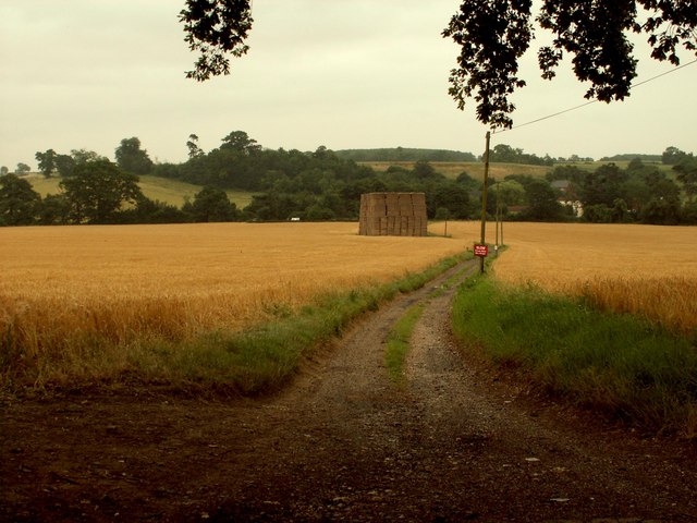
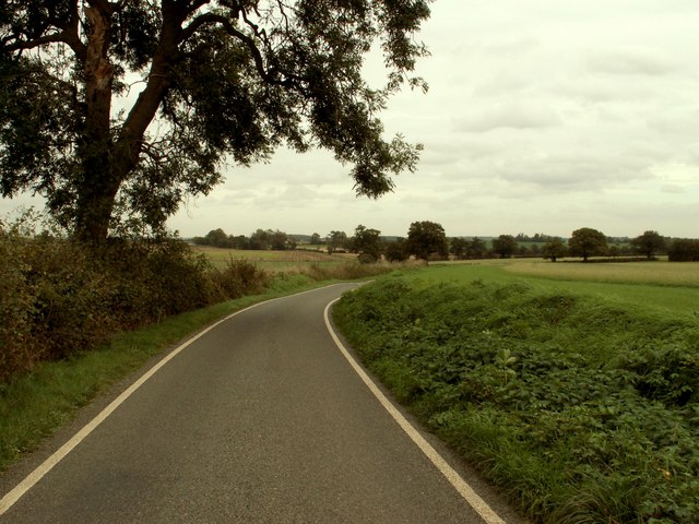
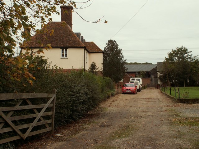
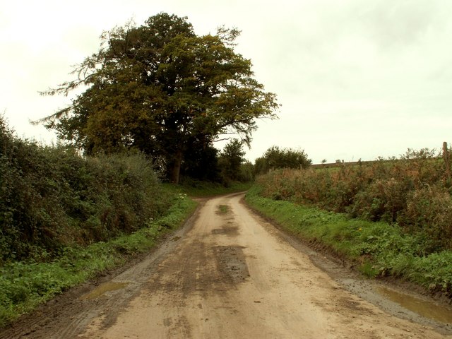
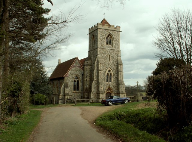
Battle's Wood Images

Images are sourced within 2km of 51.932785/0.1476507 or Grid Reference TL4728. Thanks to Geograph Open Source API. All images are credited.

The Street, Manuden
The Street, Manuden
Houses on The Street, Manuden
Ginns Road, Berden
Ginns Road, Berden
St Nicholas's Church
Bearden Village Hall
Coming into Berden
Coming into Berden
Footpath to Little London On the map, anyway, no sign on the ground
Footpath to Little London
On the map, anyway, no sign on the ground
Looking over the field to St Nicholas
Harcamlow Way A 141 mile long figure-of-eight walk, mainly on tracks and green lanes passing many places of historic interest, crossing low hills, woods and arable land via Standon and Manuden to meet the cross-over point at Newport. It continues through Saffron Walden and over the low Bartlow Hills to Horseheath and the Fleam Dyke, to enter Cambridge, the return route passing through Melbourn and Chrishall to Newport, continuing via Debden, Thaxted, Takeley and Hatfield Forest. The waymarked Five Parishes Millennium Boundary Walk (15 miles) is a circular route using part of the Harcamlow Way at Tilty. The waymarked Wimpole Way (11 miles and on OS mapping) Way goes across farmland and through the villages of Caldecote and Kingston to the eighteenth-century Wimpole Hall and Park and is part of the Harcamlow Way. With the Clopton Way it links the Greensand Ridge Walk with Cambridge.
Harcamlow Way
A 141 mile long figure-of-eight walk, mainly on tracks and green lanes passing many places of historic interest, crossing low hills, woods and arable land via Standon and Manuden to meet the cross-over point at Newport. It continues through Saffron Walden and over the low Bartlow Hills to Horseheath and the Fleam Dyke, to enter Cambridge, the return route passing through Melbourn and Chrishall to Newport, continuing via Debden, Thaxted, Takeley and Hatfield Forest. The waymarked Five Parishes Millennium Boundary Walk (15 miles) is a circular route using part of the Harcamlow Way at Tilty. The waymarked Wimpole Way (11 miles and on OS mapping) Way goes across farmland and through the villages of Caldecote and Kingston to the eighteenth-century Wimpole Hall and Park and is part of the Harcamlow Way. With the Clopton Way it links the Greensand Ridge Walk with Cambridge.
Farmland, Manuden Taken looking west from a public footpath. The house is at TL4850626434.
Farmland, Manuden
Taken looking west from a public footpath. The house is at TL4850626434.
The Old Maltings, Manuden, Essex There are many old buildings in Manuden and this lovely timber-framed building was once the maltings. The white building, further along this row, was once a bakery. These stand directly north of the parish church.
The Old Maltings, Manuden, Essex
There are many old buildings in Manuden and this lovely timber-framed building was once the maltings. The white building, further along this row, was once a bakery. These stand directly north of the parish church.
Manuden, Essex This is the approach to Manuden from the north. The Georgian house at the end is called Cleave Hall.
Manuden, Essex
This is the approach to Manuden from the north. The Georgian house at the end is called Cleave Hall.
St. Nicholas' church, Berden, Essex This church has a Norman nave with 13th century transepts and a 15th century tower. The picture shows the approach from the east.
St. Nicholas' church, Berden, Essex
This church has a Norman nave with 13th century transepts and a 15th century tower. The picture shows the approach from the east.
Approach to Pinchpools Farm, Manuden, Essex
Road from East End to Maggots End
Battles Farm
Battles Farm
Lane to Peyton Hall
Lane to Peyton Hall
Potash Farm, just east of Berden, Essex
Show me another place!

Battle's Wood is located at Grid Ref: TL4728 (Lat: 51.932785, Lng: 0.1476507)

Administrative County: Essex

District: Uttlesford

Police Authority: Essex

What 3 Words

///described.silver.plates. Near Stansted Mountfitchet, Essex

Nearby Locations

Battle's Wood

Related Wikis

Related Videos

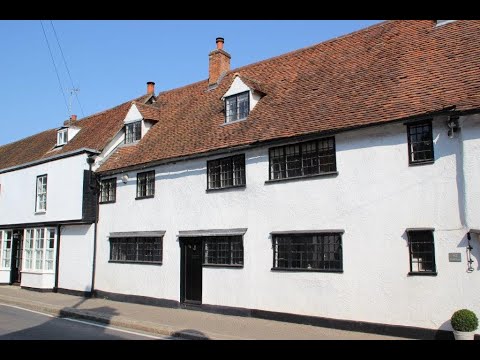
Video Tour - The Street, Manuden

We are pleased to offer for sale this delightful GRADE II listed CHARACTER COTTAGE believed to be over 500 years old and ...

Nearby Amenities

Located within 500m of 51.932785,0.1476507
Power: tower
Lat/Long: 51.9320555/0.153003
Power: tower
Lat/Long: 51.930884/0.1439768
Power: tower
Lat/Long: 51.9302908/0.1489657
Power: tower
Lat/Long: 51.9314995/0.142833
Power: tower
Lat/Long: 51.9308604/0.1477196
Power: tower
Lat/Long: 51.9312809/0.1529928
Information: guidepost
Source: GPS
Tourism: information
Lat/Long: 51.932286/0.1514964
Barrier: stile
Information: guidepost
Lat/Long: 51.9290832/0.1452188
Barrier: kissing_gate
Lat/Long: 51.9289621/0.1455816
Information: guidepost
Source: GPS; survey
Tourism: information
Lat/Long: 51.9358038/0.1516519
The data included in this document is from www.openstreetmap.org. The data is made available under ODbL.

Have you been to Battle's Wood?

Leave your review of Battle's Wood below (or comments, questions and feedback).