The Alders

Wood, Forest in Sussex Wealden

England

The Alders

Pylon
Pylon Credit: N Chadwick

The Alders, Sussex, also known as the Alders Wood or Alders Forest, is a picturesque woodland located in the county of Sussex, England. Spanning over a vast area, the forest is characterized by its dense population of alder trees, which lend their name to the wood.

The forest is renowned for its natural beauty and is a popular destination for nature enthusiasts and hikers alike. The alder trees, with their distinctive silver bark and serrated leaves, create a stunning backdrop and provide a habitat for a diverse range of wildlife. Visitors to the Alders may catch a glimpse of various bird species, such as woodpeckers and owls, as well as squirrels, badgers, and deer.

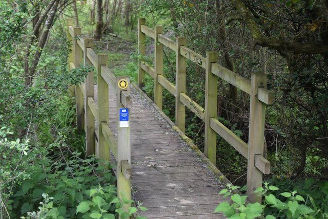
Traversing the forest is a network of well-maintained trails, allowing visitors to explore the natural wonders of the Alders. These paths wind through the woodland, passing by tranquil streams, small ponds, and wildflower meadows. Along the way, benches and picnic spots are strategically placed, providing an opportunity for visitors to rest and enjoy the serene surroundings.

The Alders offers a peaceful retreat from the hustle and bustle of everyday life. Its dense foliage acts as a natural sound barrier, creating a serene and quiet atmosphere. The forest is particularly enchanting during the autumn months when the leaves on the alder trees turn vibrant shades of gold and red, creating a dazzling display of colors.

Overall, the Alders, Sussex, is a haven for nature lovers, providing a tranquil and captivating experience amidst its beautiful alder woodlands.

If you have any feedback on the listing, please let us know in the comments section below.
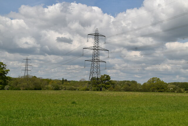
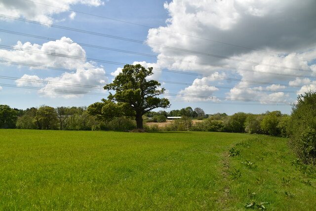
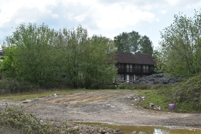
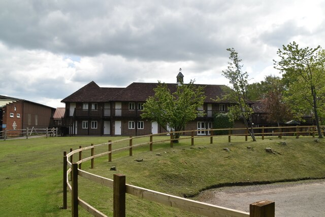
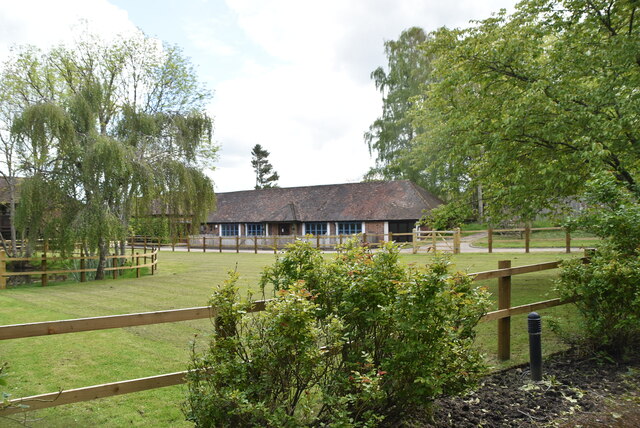
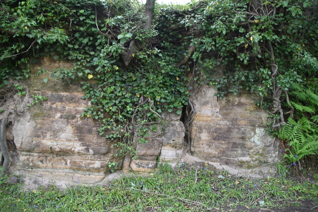
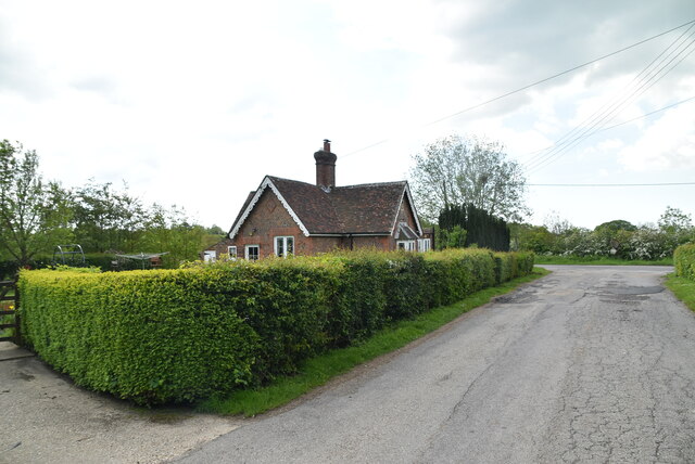
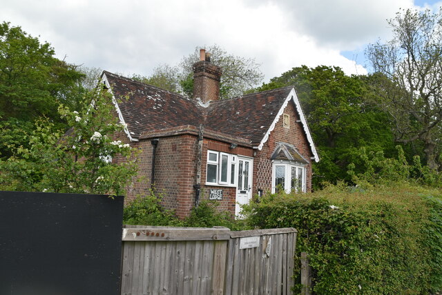
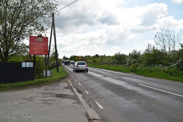
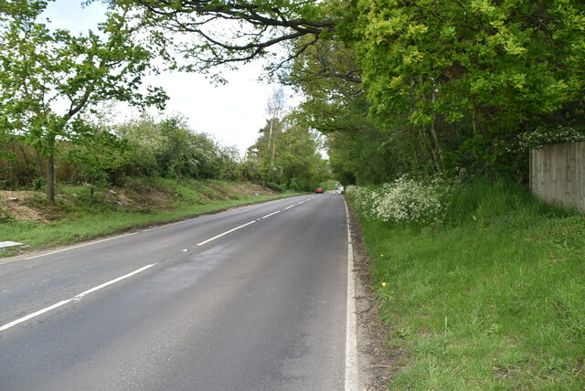
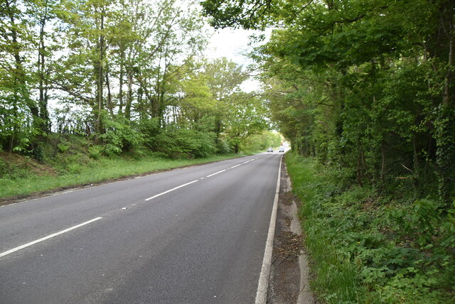
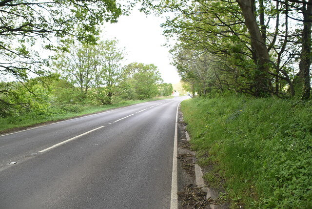
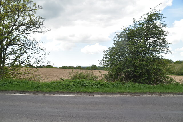
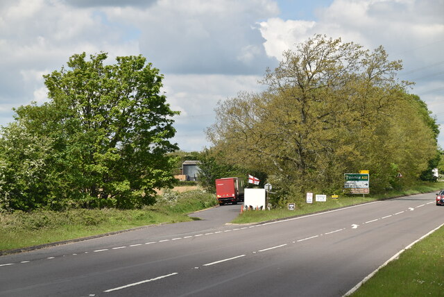
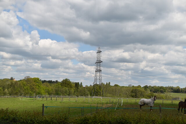
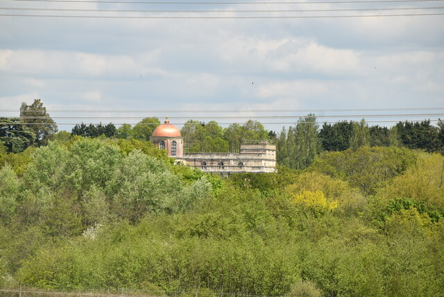
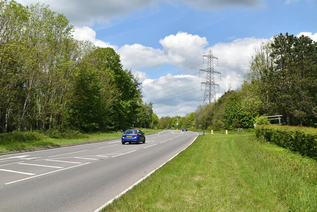
The Alders Images

Images are sourced within 2km of 50.939121/0.098920167 or Grid Reference TQ4717. Thanks to Geograph Open Source API. All images are credited.

Sussex farmland
Sussex farmland
Footbridge
Footbridge
Approaching Crockstead Farm Hotel
Crockstead Farm Hotel
Sandstone cliff
Sandstone cliff
East Lodge, Crockstead Farm Hotel
West Lodge, Crockstead Farm Hotel
A22 The A22 is one of the  major roads in the south east of England. It carries traffic from London to Eastbourne on the East Sussex coast. The route goes through Purley, East Grinstead, Forest Row, Hailsham and Polegate. A distance of 48 miles.
<span class="nowrap"><a title="http://www.sabre-roads.org.uk/wiki/index.php?title=B2104" rel="nofollow ugc noopener" href="http://www.sabre-roads.org.uk/wiki/index.php?title=B2104">Link</a><img style="margin-left:2px;" alt="External link" title="External link - shift click to open in new window" src="https://s1.geograph.org.uk/img/external.png" width="10" height="10"/></span>
A22
The A22 is one of the major roads in the south east of England. It carries traffic from London to Eastbourne on the East Sussex coast. The route goes through Purley, East Grinstead, Forest Row, Hailsham and Polegate. A distance of 48 miles. LinkExternal link
A22, looking north west The A22 is one of the  major roads in the south east of England. It carries traffic from London to Eastbourne on the East Sussex coast. The route goes through Purley, East Grinstead, Forest Row, Hailsham and Polegate. A distance of 48 miles.
<span class="nowrap"><a title="http://www.sabre-roads.org.uk/wiki/index.php?title=B2104" rel="nofollow ugc noopener" href="http://www.sabre-roads.org.uk/wiki/index.php?title=B2104">Link</a><img style="margin-left:2px;" alt="External link" title="External link - shift click to open in new window" src="https://s1.geograph.org.uk/img/external.png" width="10" height="10"/></span>
A22, looking north west
The A22 is one of the major roads in the south east of England. It carries traffic from London to Eastbourne on the East Sussex coast. The route goes through Purley, East Grinstead, Forest Row, Hailsham and Polegate. A distance of 48 miles. LinkExternal link
Quiet A22 The A22 is one of the  major roads in the south east of England. It carries traffic from London to Eastbourne on the East Sussex coast. The route goes through Purley, East Grinstead, Forest Row, Hailsham and Polegate. A distance of 48 miles.
<span class="nowrap"><a title="http://www.sabre-roads.org.uk/wiki/index.php?title=B2104" rel="nofollow ugc noopener" href="http://www.sabre-roads.org.uk/wiki/index.php?title=B2104">Link</a><img style="margin-left:2px;" alt="External link" title="External link - shift click to open in new window" src="https://s1.geograph.org.uk/img/external.png" width="10" height="10"/></span>
Quiet A22
The A22 is one of the major roads in the south east of England. It carries traffic from London to Eastbourne on the East Sussex coast. The route goes through Purley, East Grinstead, Forest Row, Hailsham and Polegate. A distance of 48 miles. LinkExternal link
Farmland by A22
Farmland by A22
Layby, A22 The A22 is one of the  major roads in the south east of England. It carries traffic from London to Eastbourne on the East Sussex coast. The route goes through Purley, East Grinstead, Forest Row, Hailsham and Polegate. A distance of 48 miles.
<span class="nowrap"><a title="http://www.sabre-roads.org.uk/wiki/index.php?title=B2104" rel="nofollow ugc noopener" href="http://www.sabre-roads.org.uk/wiki/index.php?title=B2104">Link</a><img style="margin-left:2px;" alt="External link" title="External link - shift click to open in new window" src="https://s1.geograph.org.uk/img/external.png" width="10" height="10"/></span>
Layby, A22
The A22 is one of the major roads in the south east of England. It carries traffic from London to Eastbourne on the East Sussex coast. The route goes through Purley, East Grinstead, Forest Row, Hailsham and Polegate. A distance of 48 miles. LinkExternal link
Farmland by A22
Farmland by A22
Hamilton Palace
Hamilton Palace
A22 The A22 is one of the  major roads in the south east of England. It carries traffic from London to Eastbourne on the East Sussex coast. The route goes through Purley, East Grinstead, Forest Row, Hailsham and Polegate. A distance of 48 miles.
<span class="nowrap"><a title="http://www.sabre-roads.org.uk/wiki/index.php?title=B2104" rel="nofollow ugc noopener" href="http://www.sabre-roads.org.uk/wiki/index.php?title=B2104">Link</a><img style="margin-left:2px;" alt="External link" title="External link - shift click to open in new window" src="https://s1.geograph.org.uk/img/external.png" width="10" height="10"/></span>
A22
The A22 is one of the major roads in the south east of England. It carries traffic from London to Eastbourne on the East Sussex coast. The route goes through Purley, East Grinstead, Forest Row, Hailsham and Polegate. A distance of 48 miles. LinkExternal link
Show me another place!

The Alders is located at Grid Ref: TQ4717 (Lat: 50.939121, Lng: 0.098920167)

Administrative County: East Sussex

District: Wealden

Police Authority: Sussex

What 3 Words

///waddle.movie.intrigued. Near Uckfield, East Sussex

Related Wikis

East Sussex National Golf Club

East Sussex National Golf Club is a golf course located near to Uckfield in East Sussex. It is considered one of the finer golf courses in the British...

Horsted Place

Horsted Place is a Tudor Revival country house, now a hotel, in Little Horsted, East Sussex, England. The current building dates to 1850, when it was built...

Little Horsted

Little Horsted (also known as Horsted Parva) is a village and civil parish in the Wealden district of East Sussex, England. It is located two miles (3...

Bentley Wildfowl and Motor Museum

The Bentley Wildfowl and Motor Museum was a visitor attraction near Halland, East Sussex, England. As of October 2018, it is closed to the public. ��2...

Isfield railway station

Isfield is a preserved railway station on the closed section of the Wealden Line which served the East Sussex village of Isfield near Uckfield. Originally...

Lavender Line

The Lavender Line is a heritage railway based at Isfield Station, near Uckfield in East Sussex, England. == History == The Lavender Line was originally...

Plashett Park Wood

Plashett Park Wood is a 157.6-hectare (389-acre) biological Site of Special Scientific Interest between Lewes and Uckfield in East Sussex.This ancient...

Uckfield Town F.C.

Uckfield Town F.C. was a football club based in Uckfield, East Sussex, England. For their final season, 2013–14, they were members of the Sussex County...

Nearby Amenities

Located within 500m of 50.939121,0.098920167
Material: wood
Power: pole
Lat/Long: 50.9356531/0.1031773
Material: wood
Power: pole
Lat/Long: 50.9362233/0.1042811
Health Club and Spa
Entrance: yes
Lat/Long: 50.9412471/0.1017096
Hotel
Entrance: yes
Lat/Long: 50.9414894/0.1029415
The data included in this document is from www.openstreetmap.org. The data is made available under ODbL.

Have you been to The Alders?

Leave your review of The Alders below (or comments, questions and feedback).