Little Horsted

Civil Parish in Sussex Wealden

England

Little Horsted

Fishing In Plashett Park
Fishing Credit: Peter Jeffery

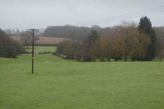
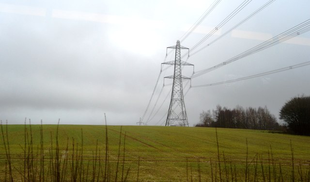
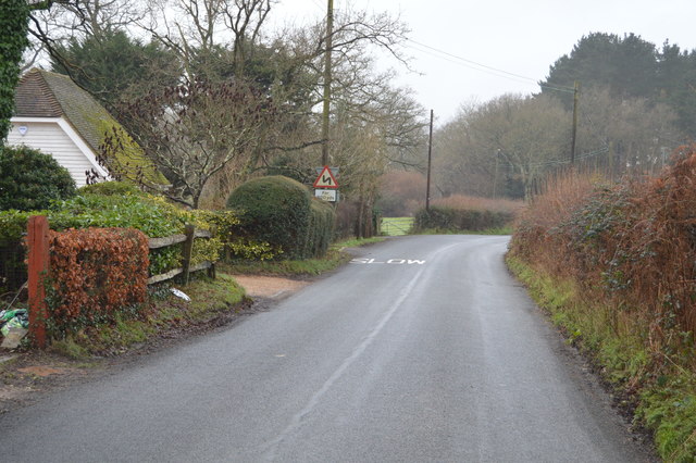
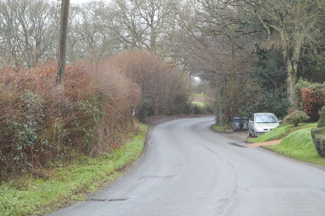
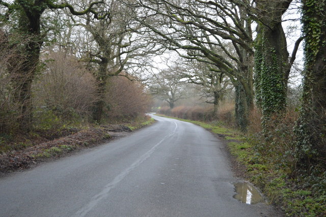
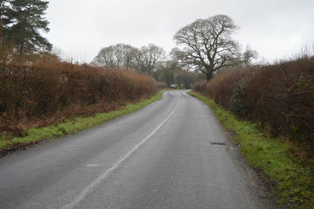
Little Horsted is a small civil parish located in the Wealden District of East Sussex, England. Situated approximately three miles northeast of Uckfield, it covers an area of around 2.54 square miles. The parish is surrounded by the picturesque countryside of the High Weald Area of Outstanding Natural Beauty.

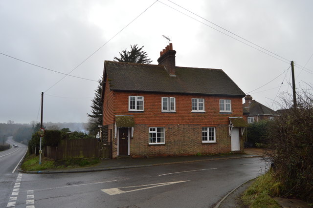
The village itself is home to a tight-knit community with a population of just over 300 residents. It maintains a rural and tranquil atmosphere, offering a peaceful retreat from the hustle and bustle of larger towns and cities. Little Horsted is known for its charming cottages and beautiful surroundings, making it an idyllic place to live or visit.

The parish features several notable landmarks, including the Grade II listed St. Michael and All Angels Church. Dating back to the 12th century, the church is a testament to the area's rich history and architectural heritage. Additionally, there is a village hall which serves as a social hub for local events and gatherings.

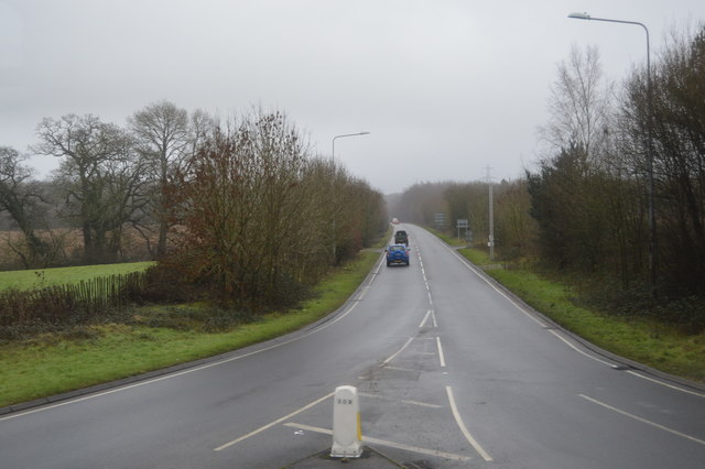
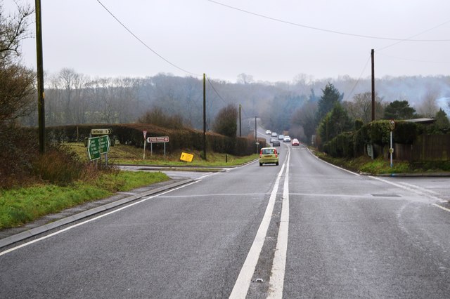
Despite its small size, Little Horsted benefits from its proximity to nearby towns and amenities. Uckfield provides residents with access to supermarkets, shops, and medical facilities, while the vibrant city of Brighton is within a 30-minute drive, offering a wide range of cultural and recreational activities.

Overall, Little Horsted is a charming and picturesque civil parish, known for its tranquil ambience, scenic beauty, and strong sense of community.

If you have any feedback on the listing, please let us know in the comments section below.

Little Horsted Images

Images are sourced within 2km of 50.937045/0.092658 or Grid Reference TQ4717. Thanks to Geograph Open Source API. All images are credited.

Fishing In Plashett Park
Fishing
In Plashett Park
Trees, Horsted Pond Farm
A22, looking south The A22 is one of the  major roads in the south east of England. It carries traffic from London to Eastbourne on the East Sussex coast. The route goes through Purley, East Grinstead, Forest Row, Hailsham and Polegate. A distance of 48 miles.
<span class="nowrap"><a title="http://www.sabre-roads.org.uk/wiki/index.php?title=B2104" rel="nofollow ugc noopener" href="http://www.sabre-roads.org.uk/wiki/index.php?title=B2104">Link</a><img style="margin-left:2px;" alt="External link" title="External link - shift click to open in new window" src="https://s1.geograph.org.uk/img/external.png" width="10" height="10"/></span>
A22, looking south
The A22 is one of the major roads in the south east of England. It carries traffic from London to Eastbourne on the East Sussex coast. The route goes through Purley, East Grinstead, Forest Row, Hailsham and Polegate. A distance of 48 miles. LinkExternal link
Pylon, Little Horsted
Church of St michael & All Angels Most of the church dates from a rebuild in 1863, however some wall arches of the north wall of the chancel are 12th Century, containing 2 small round-headed windows. 
The tall tower is 15th C. and the turret was raised and given a conical top in 1863, when Sir George Gilbert Scott oversaw the rebuilding with 14th C details.
There is an interesting tomb slab of about 1500 in a recess in the chancel, said to be a member of the Delves family, Yeomen in the parish. However it has also been claimed to belong to William Dean, Knight. Currently it is blocked by pews and furniture.
Church of St michael & All Angels
Most of the church dates from a rebuild in 1863, however some wall arches of the north wall of the chancel are 12th Century, containing 2 small round-headed windows. The tall tower is 15th C. and the turret was raised and given a conical top in 1863, when Sir George Gilbert Scott oversaw the rebuilding with 14th C details. There is an interesting tomb slab of about 1500 in a recess in the chancel, said to be a member of the Delves family, Yeomen in the parish. However it has also been claimed to belong to William Dean, Knight. Currently it is blocked by pews and furniture.
A26, southbound The A26 is a 50 mile route from Maidstone to Newhaven via Tunbridge Wells. <span class="nowrap"><a title="http://www.sabre-roads.org.uk/wiki/index.php?title=A26" rel="nofollow ugc noopener" href="http://www.sabre-roads.org.uk/wiki/index.php?title=A26">Link</a><img style="margin-left:2px;" alt="External link" title="External link - shift click to open in new window" src="https://s1.geograph.org.uk/img/external.png" width="10" height="10"/></span>
A26, southbound
The A26 is a 50 mile route from Maidstone to Newhaven via Tunbridge Wells. LinkExternal link
A26, northbound The A26 is a 50 mile route from Maidstone to Newhaven via Tunbridge Wells. <span class="nowrap"><a title="http://www.sabre-roads.org.uk/wiki/index.php?title=A26" rel="nofollow ugc noopener" href="http://www.sabre-roads.org.uk/wiki/index.php?title=A26">Link</a><img style="margin-left:2px;" alt="External link" title="External link - shift click to open in new window" src="https://s1.geograph.org.uk/img/external.png" width="10" height="10"/></span>
A26, northbound
The A26 is a 50 mile route from Maidstone to Newhaven via Tunbridge Wells. LinkExternal link
Corner of Horsted Lane
Horsted Lane
Horsted Lane
Horsted Lane Isfield lies just off the main A26 Uckfield to Lewes main road, and is well hidden in the Ouse valley. The Romans established a staging post in the village, near a ford across the Ouse, this was on a section of Ermine Street which ran from Newhaven to London, passing through Lewes and Isfield and Maresfield. The village was recorded as Sifelle in the Domesday book.
More info at <span class="nowrap"><a title="http://www.villagenet.co.uk/ashdownforest/villages/isfield.php" rel="nofollow ugc noopener" href="http://www.villagenet.co.uk/ashdownforest/villages/isfield.php">Link</a><img style="margin-left:2px;" alt="External link" title="External link - shift click to open in new window" src="https://s1.geograph.org.uk/img/external.png" width="10" height="10"/></span>
Horsted Lane
Isfield lies just off the main A26 Uckfield to Lewes main road, and is well hidden in the Ouse valley. The Romans established a staging post in the village, near a ford across the Ouse, this was on a section of Ermine Street which ran from Newhaven to London, passing through Lewes and Isfield and Maresfield. The village was recorded as Sifelle in the Domesday book. More info at LinkExternal link
Horsted Lane
Horsted Lane
Field by Horsted Lane
Horsted Lane
Horsted Lane
Entering Isfield, Horsted Lane Isfield lies just off the main A26 Uckfield to Lewes main road, and is well hidden in the Ouse valley. The Romans established a staging post in the village, near a ford across the Ouse, this was on a section of Ermine Street which ran from Newhaven to London, passing through Lewes and Isfield and Maresfield. The village was recorded as Sifelle in the Domesday book.
More info at <span class="nowrap"><a title="http://www.villagenet.co.uk/ashdownforest/villages/isfield.php" rel="nofollow ugc noopener" href="http://www.villagenet.co.uk/ashdownforest/villages/isfield.php">Link</a><img style="margin-left:2px;" alt="External link" title="External link - shift click to open in new window" src="https://s1.geograph.org.uk/img/external.png" width="10" height="10"/></span>
Entering Isfield, Horsted Lane
Isfield lies just off the main A26 Uckfield to Lewes main road, and is well hidden in the Ouse valley. The Romans established a staging post in the village, near a ford across the Ouse, this was on a section of Ermine Street which ran from Newhaven to London, passing through Lewes and Isfield and Maresfield. The village was recorded as Sifelle in the Domesday book. More info at LinkExternal link
Barn north of Horsted Lane
Footpaths off Horsted Lane
Horsted Lane
Horsted Lane
The Lavender Line The Lavender line is a 1.4km section of preserved railway running from Isfield station. The original line ran between Uckfield and Lewes and closed in the 1960's . The section of railway was restored in 1983 and informally named the Lavender Line, after a local coal merchants who operated from Isfield station yard.
The Lavender Line
The Lavender line is a 1.4km section of preserved railway running from Isfield station. The original line ran between Uckfield and Lewes and closed in the 1960's . The section of railway was restored in 1983 and informally named the Lavender Line, after a local coal merchants who operated from Isfield station yard.
Show me another place!

Little Horsted is located at Grid Ref: TQ4717 (Lat: 50.937045, Lng: 0.092658)

Administrative County: East Sussex

District: Wealden

Police Authority: Sussex

What 3 Words

///carefully.used.readjust. Near Uckfield, East Sussex

Related Wikis

East Sussex National Golf Club

East Sussex National Golf Club is a golf course located near to Uckfield in East Sussex. It is considered one of the finer golf courses in the British...

Horsted Place

Horsted Place is a Tudor Revival country house, now a hotel, in Little Horsted, East Sussex, England. The current building dates to 1850, when it was built...

Little Horsted

Little Horsted (also known as Horsted Parva) is a village and civil parish in the Wealden district of East Sussex, England. It is located two miles (3...

Isfield railway station

Isfield is a preserved railway station on the closed section of the Wealden Line which served the East Sussex village of Isfield near Uckfield. Originally...
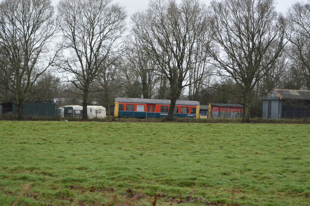
Lavender Line

The Lavender Line is a heritage railway based at Isfield Station, near Uckfield in East Sussex, England. == History == The Lavender Line was originally...

Bentley Wildfowl and Motor Museum

The Bentley Wildfowl and Motor Museum was a visitor attraction near Halland, East Sussex, England. As of October 2018, it is closed to the public. ��2...

Plashett Park Wood

Plashett Park Wood is a 157.6-hectare (389-acre) biological Site of Special Scientific Interest between Lewes and Uckfield in East Sussex.This ancient...
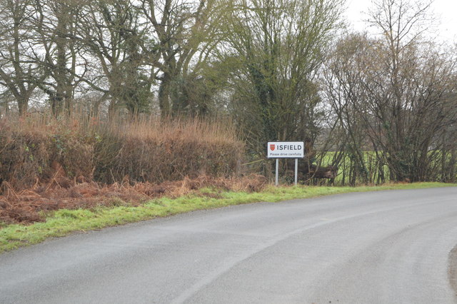
Isfield

Isfield is a small village and civil parish in the Wealden District of East Sussex in England, located north-east of Lewes. == History == The village of...

Nearby Amenities

Located within 500m of 50.937045,0.092658
Material: wood
Power: pole
Source: bing
Lat/Long: 50.9326363/0.0935788
Material: wood
Power: pole
Source: bing
Lat/Long: 50.9334503/0.0916452
Material: wood
Power: pole
Source: bing
Lat/Long: 50.9336024/0.0912951
Material: wood
Power: pole
Source: bing
Lat/Long: 50.9340288/0.0902589
Material: wood
Power: pole
Source: bing
Lat/Long: 50.9344602/0.0887717
Material: wood
Power: pole
Source: bing
Lat/Long: 50.9348398/0.0874233
Barrier: stile
Stile: stepover
Lat/Long: 50.9333041/0.0892639
The data included in this document is from www.openstreetmap.org. The data is made available under ODbL.

Have you been to Little Horsted?

Leave your review of Little Horsted below (or comments, questions and feedback).