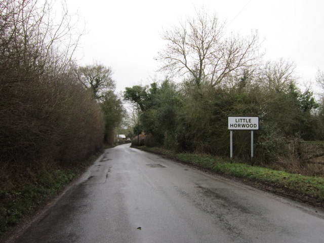
Little Horwood

Civil Parish in Buckinghamshire

England

Little Horwood

East West Railway construction This bridge taking Horwood Road over the rebuilt Bletchley to Bicester railway line has been refurbished and the parapets extended in height to about 2m which seems to be the rule at the moment.  No more looking over railway bridges without a step ladder any more!  The trackbed beneath has had new drainage installed, been regraded and is now ready for new railway tracks.
East West Railway construction Credit: Bob Walters

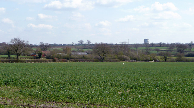
Little Horwood is a civil parish located in the ceremonial county of Buckinghamshire in England. Situated approximately 4 miles northwest of Winslow and 7 miles southwest of Milton Keynes, it covers an area of around 1,420 acres. The village lies within the Aylesbury Vale district and is surrounded by picturesque countryside.

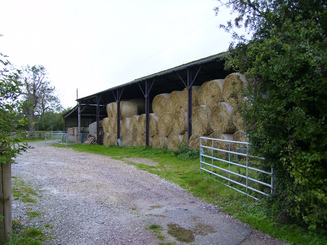
The settlement dates back to medieval times and is mentioned in the Domesday Book of 1086. It has a population of around 900 residents, according to the latest available data. The parish is predominantly rural, with a mix of residential properties and agricultural land.

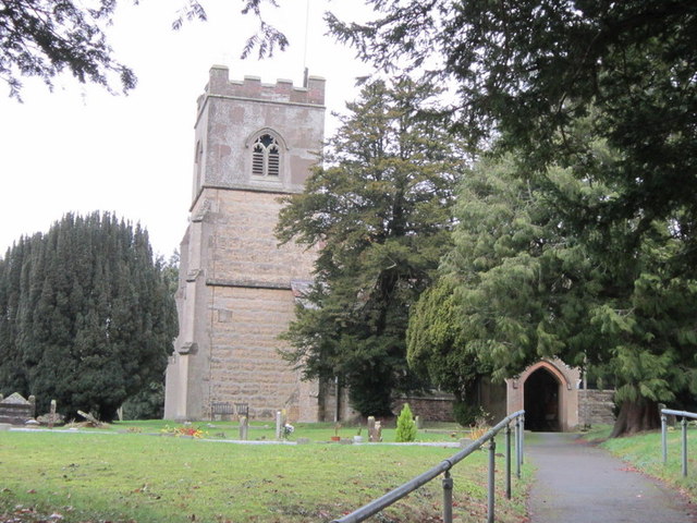
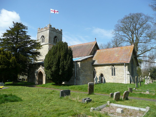
Little Horwood is known for its charming village atmosphere and traditional English architecture. The village center features a number of historic buildings, including the Grade II listed St. Nicholas Church, which dates back to the 12th century. The church is a fine example of Norman architecture and boasts a square tower and beautiful stained glass windows.

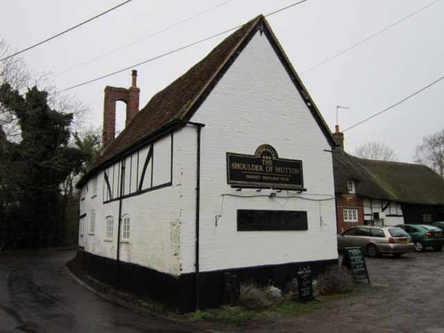
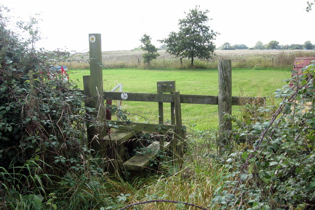
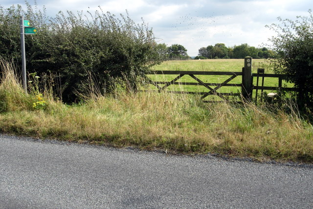
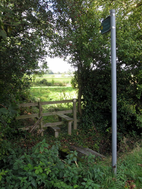
The community in Little Horwood is vibrant and close-knit, with a range of local amenities. These include a primary school, village hall, and a pub. The surrounding countryside offers ample opportunities for outdoor activities such as walking, cycling, and horse riding.

Overall, Little Horwood is a peaceful and picturesque parish with a rich history and a strong sense of community. Its idyllic location and rural charm make it a popular place to live for those seeking a quieter, countryside lifestyle within easy reach of urban amenities.

If you have any feedback on the listing, please let us know in the comments section below.

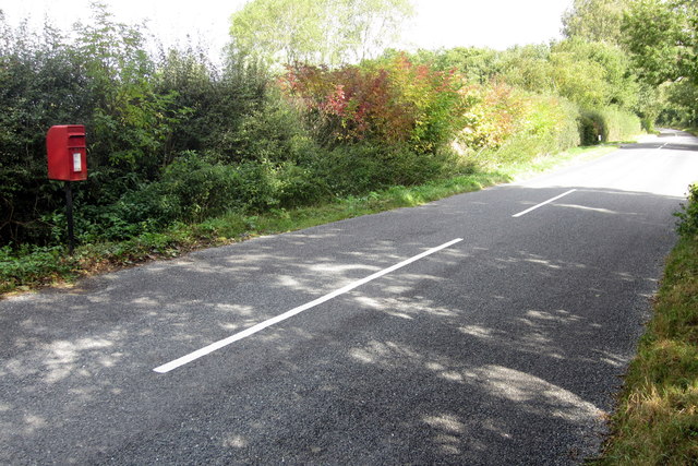
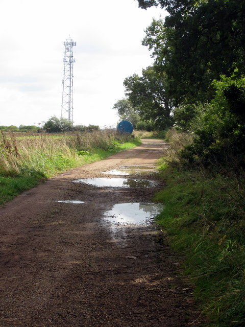
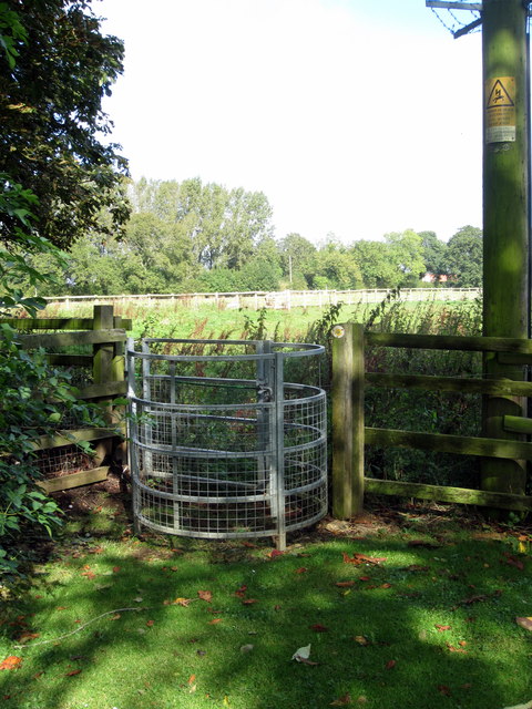
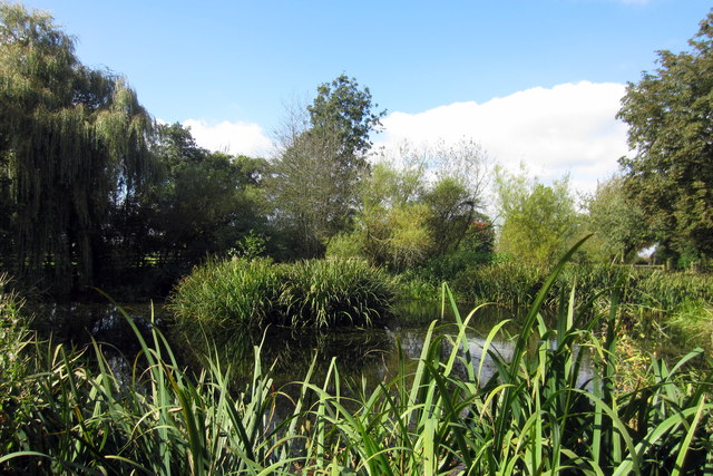
Little Horwood Images

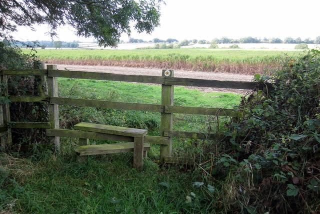
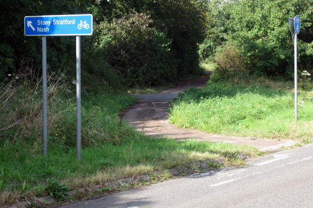
Images are sourced within 2km of 51.968647/-0.843719 or Grid Reference SP7930. Thanks to Geograph Open Source API. All images are credited.

East West Railway construction This bridge taking Horwood Road over the rebuilt Bletchley to Bicester railway line has been refurbished and the parapets extended in height to about 2m which seems to be the rule at the moment.  No more looking over railway bridges without a step ladder any more!  The trackbed beneath has had new drainage installed, been regraded and is now ready for new railway tracks.
East West Railway construction
This bridge taking Horwood Road over the rebuilt Bletchley to Bicester railway line has been refurbished and the parapets extended in height to about 2m which seems to be the rule at the moment. No more looking over railway bridges without a step ladder any more! The trackbed beneath has had new drainage installed, been regraded and is now ready for new railway tracks.
Return of rails to Swanbourne The first rails for the rebuilt East West Railway at the site of the former Swanbourne Station.  The railhead is at the western end of the old station platforms.
Return of rails to Swanbourne
The first rails for the rebuilt East West Railway at the site of the former Swanbourne Station. The railhead is at the western end of the old station platforms.
Working on the new track A tamping machine at work just west of the old Swanbourne Station site.  The machine travels slowly along the line, lifting the rails beneath it and pushing ballast under the sleepers to align the track to the level and cant required for 100mph train running.
Working on the new track
A tamping machine at work just west of the old Swanbourne Station site. The machine travels slowly along the line, lifting the rails beneath it and pushing ballast under the sleepers to align the track to the level and cant required for 100mph train running.
Swanbourne Station House (disused) The old Swanbourne station house, parts of which have now been converted into a private property.
Swanbourne Station House (disused)
The old Swanbourne station house, parts of which have now been converted into a private property.
North Buckinghamshire countryside View south-east over arable land towards the water tower at Mursley.
North Buckinghamshire countryside
View south-east over arable land towards the water tower at Mursley.
The Shoulder of Mutton, Little Horwood
Entering Little Horwood
St Nicholas Church, Little Horwood
Postbox on Warren Road
Farm track and phone mast
Path to Warren Farm
Path to Warren Farm
Pond by Little Horwood Manor
Footpath to Little Horwood Manor
Footpath to Stearhill Cottages
Entrance to Bacon House Farm workshop units
Footpath by Fir Tree Farm
Footpath to Sunnyhill
Cycle path to Nash
Cycle path to Nash
Show me another place!

Little Horwood is located at Grid Ref: SP7930 (Lat: 51.968647, Lng: -0.843719)

Unitary Authority: Buckinghamshire

Police Authority: Thames Valley

What 3 Words

///results.funded.underline. Near Great Horwood, Buckinghamshire

Related Wikis

Little Horwood

Little Horwood is a village and civil parish in Buckinghamshire, England, within the Buckinghamshire Council unitary authority area. The village is about...

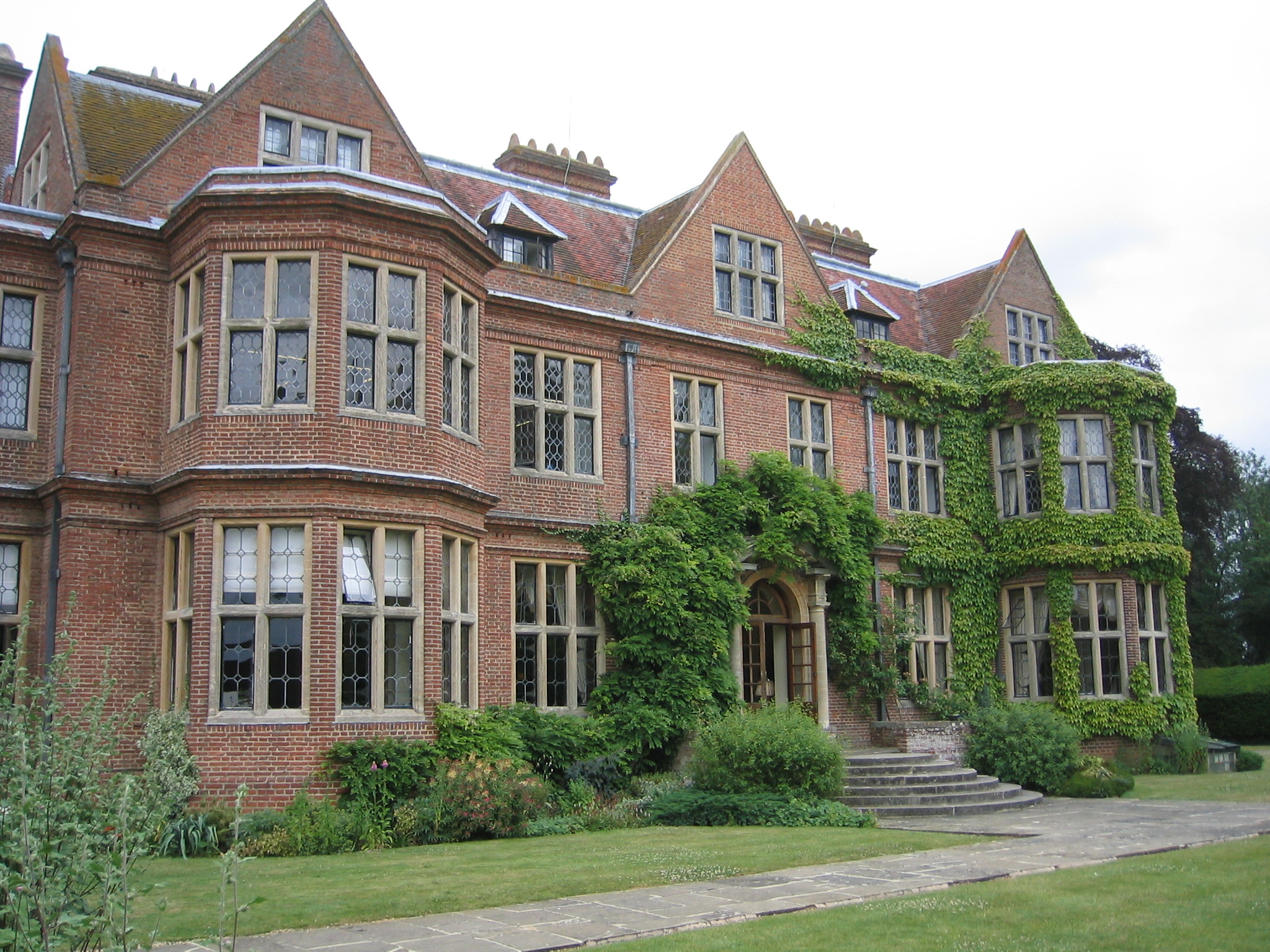
De Vere Horwood Estate

Horwood House lies 0.5-mile (0.80 km) south east of the village of Little Horwood in Buckinghamshire. This Grade II listed building mansion is a comparatively...

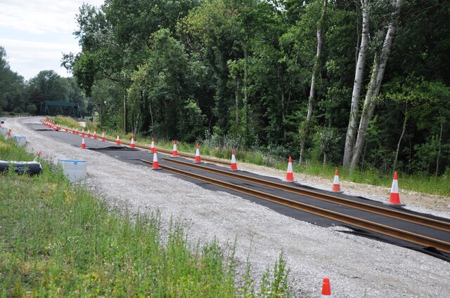
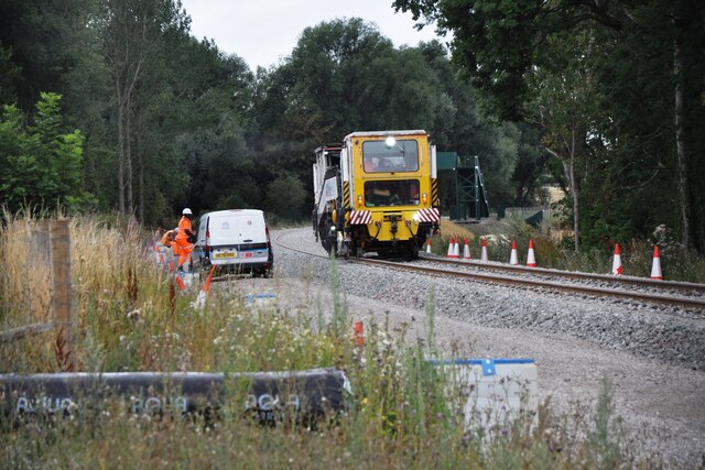
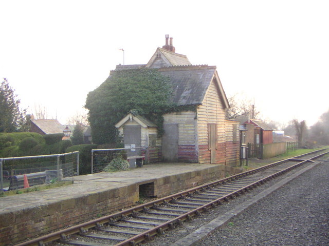
Swanbourne railway station

Swanbourne was a railway station that served the villages of Swanbourne, Little Horwood and Mursley in north Buckinghamshire, England. It was on the mothballed...
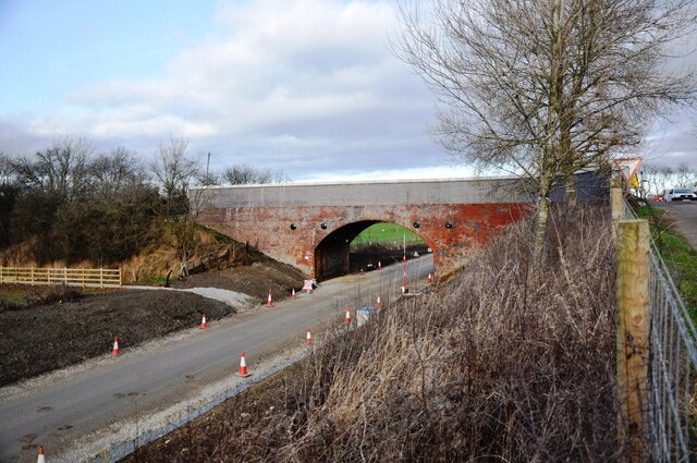
Varsity Line

The Varsity Line was the main railway line that linked the English university cities of Oxford and Cambridge, operated by the London and North Western...

RAF Little Horwood

Royal Air Force Little Horwood or more simply RAF Little Horwood is a former Royal Air Force station. It was established during the Second World War, and...

Great Horwood

Great Horwood is a small village and is also a civil parish within the unitary authority area of Buckinghamshire, England with a population of about 1025...

Mursley

Mursley is a small village in and also a civil parish in Buckinghamshire, England. It is located about three miles east of Winslow and about seven miles...

Singleborough

Singleborough is a hamlet in the parish of Great Horwood, in Buckinghamshire, England. It is located about a mile from the main village. The hamlet name...

Nearby Amenities

Located within 500m of 51.968647,-0.843719
Little Horwood
Place: village
Source: OS_OpenData_StreetView
Wikidata: Q2790916
Wikipedia: en:Little Horwood
Lat/Long: 51.9685971/-0.8492514
Power: tower
Source: Bing
Lat/Long: 51.9642993/-0.8419629
Post Box
Collection Times: Mo-Fr 16:15; Sa 09:30
Operator: Royal Mail
Post Box Type: wall
Ref: MK17 248
Royal Cypher: GVIR
Royal Cypher Wikidata: Q33102169
Source: survey
Lat/Long: 51.9686209/-0.8489576
Direction: SSW
Generator Method: photovoltaic
Generator Output Electricity: yes
Generator Solar Modules: 13
Generator Source: solar
Generator Type: solar_photovoltaic_panel
Location: roof
Power: generator
Lat/Long: 51.967573/-0.8464423
Direction: 215
Generator Method: photovoltaic
Generator Output Electricity: yes
Generator Solar Modules: 16
Generator Source: solar
Generator Type: solar_photovoltaic_panel
Location: roof
Power: generator
Lat/Long: 51.9677755/-0.8499701
Direction: SW
Generator Method: photovoltaic
Generator Output Electricity: yes
Generator Solar Modules: 15
Generator Source: solar
Generator Type: solar_photovoltaic_panel
Location: roof
Power: generator
Lat/Long: 51.9706411/-0.8501682
Direction: 210
Generator Method: photovoltaic
Generator Output Electricity: yes
Generator Solar Modules: 16
Generator Source: solar
Generator Type: solar_photovoltaic_panel
Location: roof
Power: generator
Lat/Long: 51.9692637/-0.8495889
The data included in this document is from www.openstreetmap.org. The data is made available under ODbL.

Have you been to Little Horwood?

Leave your review of Little Horwood below (or comments, questions and feedback).