Wood End
Settlement in Buckinghamshire
England
Wood End
Wood End is a small village located in the county of Buckinghamshire, England. Situated approximately 4 miles northwest of the town of Aylesbury, it is surrounded by picturesque countryside and offers a peaceful and rural setting for its residents. The village is part of the Aylesbury Vale district and falls within the civil parish of Edlesborough.
Wood End is characterized by its charming and traditional architecture, with a mix of period cottages and modern houses. The village is primarily residential, and its population is relatively small. It has a close-knit community, with residents actively participating in local events and activities.
Despite its small size, Wood End benefits from its proximity to larger towns and cities. Aylesbury, with its extensive range of amenities including shopping centers, restaurants, and leisure facilities, is just a short drive away. The village also enjoys good transport links, with easy access to major road networks such as the A41 and A418, connecting it to nearby towns and cities.
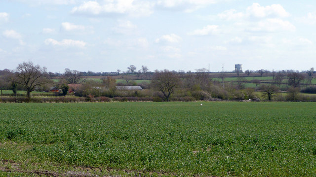
The surrounding countryside offers numerous opportunities for outdoor activities, including walking, cycling, and horse riding. Wood End is also close to several nature reserves and country parks, providing residents with beautiful natural landscapes to explore and enjoy.
In terms of education, Wood End is served by nearby schools in Edlesborough and Aylesbury, providing a range of educational options for families with children.
Overall, Wood End offers a tranquil and idyllic setting for those seeking a peaceful village lifestyle, while still benefiting from the amenities and convenience of nearby towns.
If you have any feedback on the listing, please let us know in the comments section below.
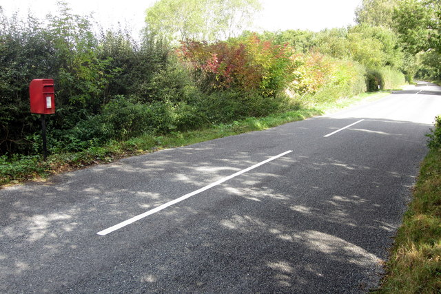
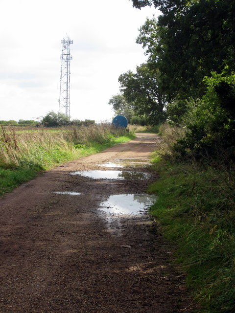
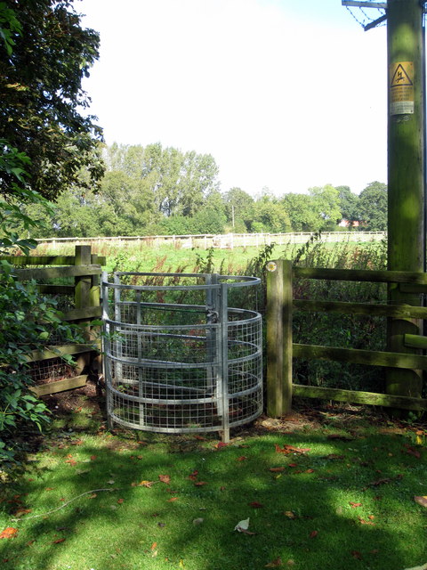
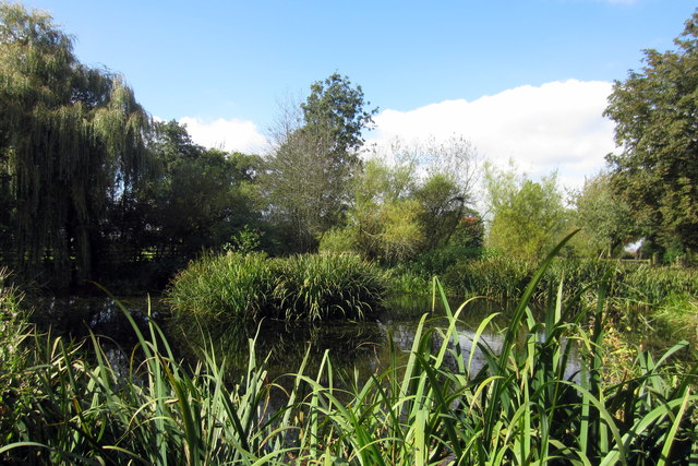
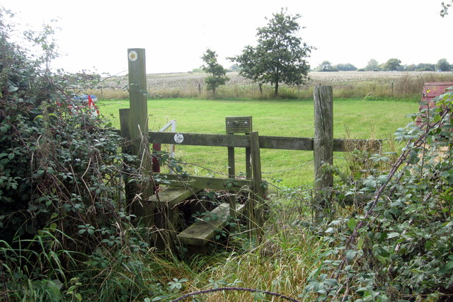
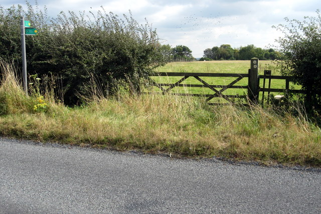
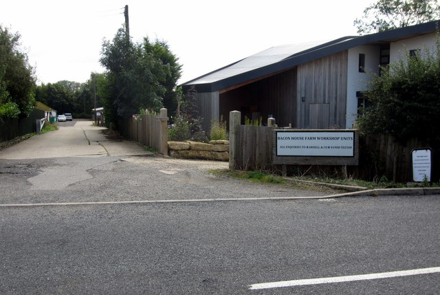
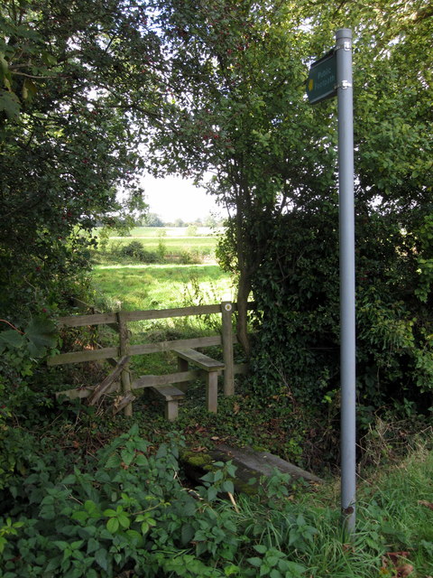
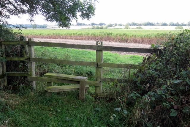
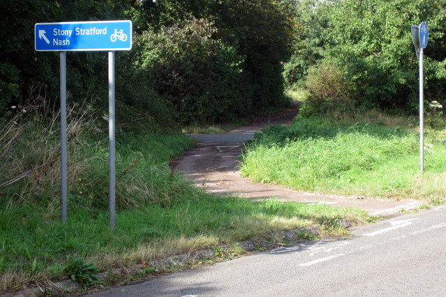
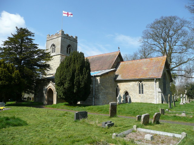
Wood End Images
Images are sourced within 2km of 51.969869/-0.84459 or Grid Reference SP7930. Thanks to Geograph Open Source API. All images are credited.
Wood End is located at Grid Ref: SP7930 (Lat: 51.969869, Lng: -0.84459)
Unitary Authority: Buckinghamshire
Police Authority: Thames Valley
What 3 Words
///drag.quickly.worms. Near Great Horwood, Buckinghamshire
Nearby Locations
Related Wikis
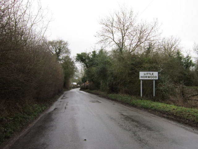
Little Horwood
Little Horwood is a village and civil parish in Buckinghamshire, England, within the Buckinghamshire Council unitary authority area. The village is about...
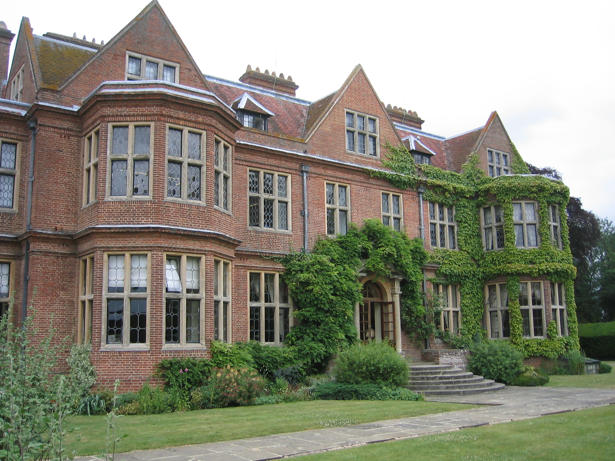
De Vere Horwood Estate
Horwood House lies 0.5-mile (0.80 km) south east of the village of Little Horwood in Buckinghamshire. This Grade II listed building mansion is a comparatively...

Swanbourne railway station
Swanbourne was a railway station that served the villages of Swanbourne, Little Horwood and Mursley in north Buckinghamshire, England. It was on the mothballed...

Varsity Line
The Varsity Line was the main railway line that linked the English university cities of Oxford and Cambridge, operated by the London and North Western...
Nearby Amenities
Located within 500m of 51.969869,-0.84459Have you been to Wood End?
Leave your review of Wood End below (or comments, questions and feedback).