Roodlands Wood

Wood, Forest in Kent Sevenoaks

England

Roodlands Wood

Fishing the village pond By the crossroads, Four Elms.
Fishing the village pond Credit: Robin Webster

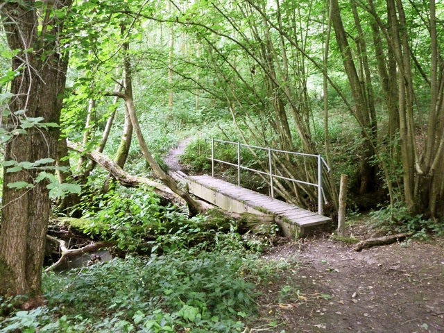
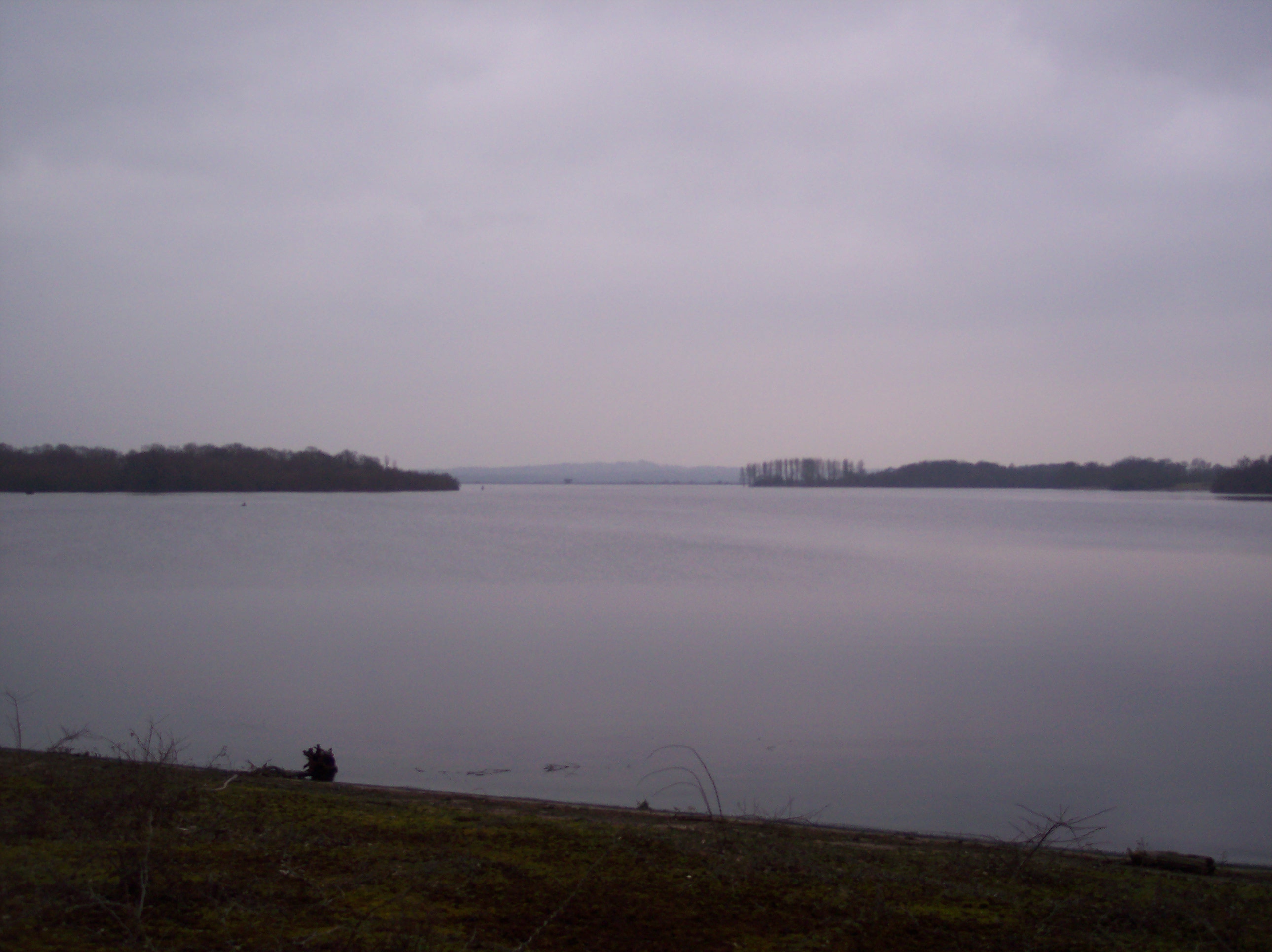
Roodlands Wood is a picturesque woodland located in the county of Kent, England. It covers an area of approximately 500 acres and is renowned for its natural beauty and diverse ecosystem. The wood is nestled within the rolling hills of the Kent Downs, providing visitors with a tranquil and serene environment.

The wood is predominantly composed of broadleaf trees, including oak, ash, beech, and birch, which create a dense canopy providing shade and shelter for a variety of wildlife. The forest floor is covered in a lush carpet of ferns, bluebells, and wildflowers, adding to the enchanting atmosphere of the wood.

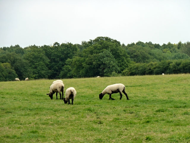
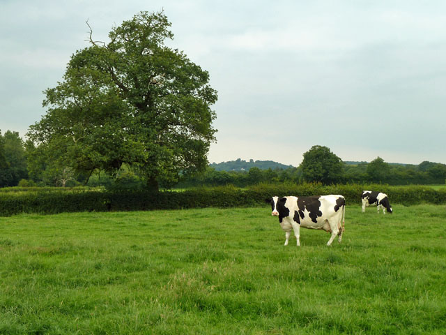
Roodlands Wood is a haven for nature enthusiasts and is home to a wide range of wildlife. Visitors may spot deer, foxes, badgers, and a plethora of bird species, including woodpeckers, owls, and songbirds. There are also numerous insects, butterflies, and small mammals that contribute to the rich biodiversity of the wood.

The wood offers a range of walking trails, allowing visitors to explore its natural wonders at their own pace. These trails meander through ancient woodland, alongside babbling brooks, and up to breathtaking viewpoints, providing stunning vistas of the surrounding countryside.

Roodlands Wood is managed by the local forestry commission, ensuring its preservation and conservation for future generations to enjoy. It is a popular destination for nature lovers, hikers, and families looking for a peaceful retreat amidst the beauty of nature.

If you have any feedback on the listing, please let us know in the comments section below.

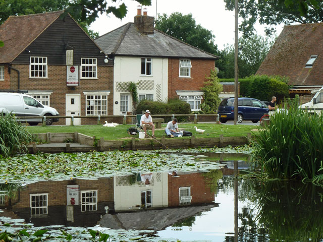
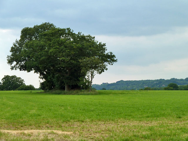
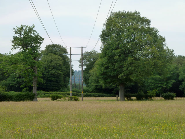
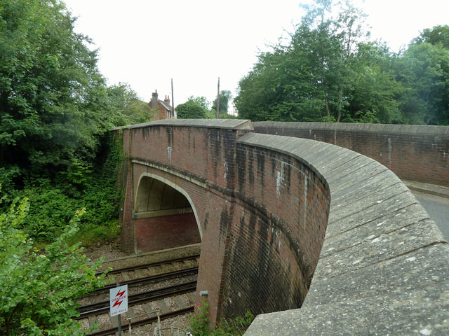
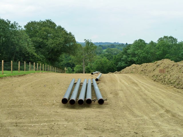
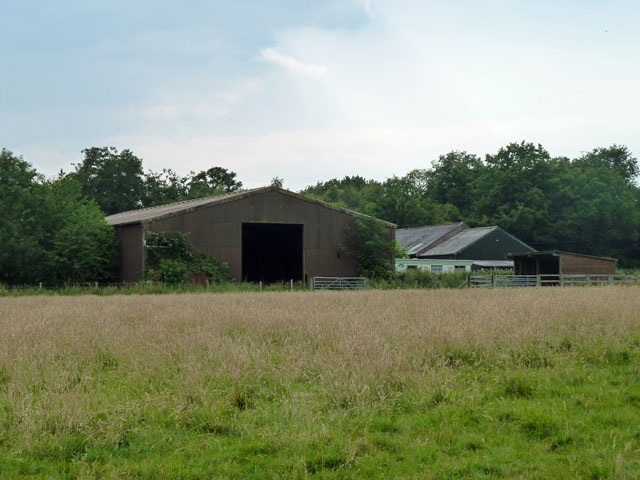
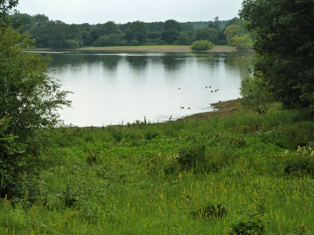
Roodlands Wood Images

Images are sourced within 2km of 51.217222/0.1115015 or Grid Reference TQ4748. Thanks to Geograph Open Source API. All images are credited.

Fishing the village pond By the crossroads, Four Elms.
Fishing the village pond
By the crossroads, Four Elms.
Tree clump in a field Over the gate from Toys Hill (road).
Tree clump in a field
Over the gate from Toys Hill (road).
Power line across the fields and through the wood The wood is Piggott's Wood.
Power line across the fields and through the wood
The wood is Piggott's Wood.
Sheep grazing near Roodlands  Lane At the bottom of the slope behind the trees is a  fishing lake.
Sheep grazing near Roodlands Lane
At the bottom of the slope behind the trees is a fishing lake.
Bridge RTT 62 This takes How Green Lane over the Redhill - Tonbridge line. It is at right angles to the railway and is narrow, producing a nasty dog-leg in the lane.
Bridge RTT 62
This takes How Green Lane over the Redhill - Tonbridge line. It is at right angles to the railway and is narrow, producing a nasty dog-leg in the lane.
Preparations for laying a pipeline Work to relay a section of an oil pipeline which forms part of the Government Pipeline and Storage System.
Preparations for laying a pipeline
Work to relay a section of an oil pipeline which forms part of the Government Pipeline and Storage System.
Barns at Winkhurst Farm They are on Ide Hill Road, which is on the other side of the barns.
Barns at Winkhurst Farm
They are on Ide Hill Road, which is on the other side of the barns.
Bough Beech reservoir Operated by Sutton and East Surrey Water, even though this site is in Kent.
Bough Beech reservoir
Operated by Sutton and East Surrey Water, even though this site is in Kent.
Footbridge in Clinton Wood The stream formerly supplied a pond, this area is below the rather high old pond bay, now breached.
Footbridge in Clinton Wood
The stream formerly supplied a pond, this area is below the rather high old pond bay, now breached.
Pedigree Holsteins on Hilders Farm The board on the farm building on Ide Hill Road makes a point of this cattle breed, so this is presumably what these are!
Pedigree Holsteins on Hilders Farm
The board on the farm building on Ide Hill Road makes a point of this cattle breed, so this is presumably what these are!
Older buildings, Lockhurst Farm The stacks of bricks and blocks suggest an attempt to repair the structures, but they have not been touched for a while.
Older buildings, Lockhurst Farm
The stacks of bricks and blocks suggest an attempt to repair the structures, but they have not been touched for a while.
Cooper’s Corner: postbox № TN14 209 This Victorian postbox is set into a pillar-like addition projecting from the frontage of a building which I think was once a pub: there is a 'PH' marked here on some large-scale maps and the Royal Mail's listing names this postbox as Frog & Bucket so I am assuming that is what the pub was called.
Cooper’s Corner: postbox № TN14 209
This Victorian postbox is set into a pillar-like addition projecting from the frontage of a building which I think was once a pub: there is a 'PH' marked here on some large-scale maps and the Royal Mail's listing names this postbox as Frog & Bucket so I am assuming that is what the pub was called.
Junction of How Green Lane and Clinton Lane
Toys Hill Road from the B2027, Four Elms
Green in the centre of Four Elms
Pootings Road approaching Four Elms
Pootings Road at the junction of the B2027, Four Elms
Junction of How Green Lane and Clinton Lane
Show me another place!

Roodlands Wood is located at Grid Ref: TQ4748 (Lat: 51.217222, Lng: 0.1115015)

Administrative County: Kent

District: Sevenoaks

Police Authority: Kent

What 3 Words

///tapes.result.monks. Near Edenbridge, Kent

Nearby Locations

Roodlands Wood

Related Wikis

Four Elms

Four Elms is a village within the civil parish of Hever in the Sevenoaks District of Kent, England. The village is located on a crossroads between Edenbridge...

Bough Beech

Bough Beech is a hamlet in the county of Kent, England, and is south of the Bough Beech Reservoir. It is located approximately three miles east of Edenbridge...

Bough Beech Reservoir

Bough Beech Reservoir is a 42-hectare (100-acre) nature reserve in Bough Beech, south-west of Sevenoaks in Kent. It was managed by the Kent Wildlife Trust...

How Green House

How Green House is an architecturally important Arts and Crafts movement style country house near Hever in the Sevenoaks District of Kent. It was designed...

Toys Hill

Toys Hill is a hamlet which lies within Brasted civil parish in the Sevenoaks district of Kent, England. It lies to the south of Brasted Chart, also in...

Bore Place

Bore Place (also Boar Place) was the country seat of the manor of Milbroke in Kent. The manor house was constructed in around 1745. It was originally named...

Polebrook Farm

Polebrook Farm is a 13-hectare (32-acre) biological Site of Special Scientific Interest south of Sevenoaks in Kent, England.The field layout of this farm...

Hever Castle

Hever Castle ( HEE-vər) is located in the village of Hever, Kent, near Edenbridge, 30 miles (48 km) south-east of London, England. It began as a country...

Nearby Amenities

Located within 500m of 51.217222,0.1115015
Barrier: stile
Lat/Long: 51.2210228/0.112472
Barrier: kissing_gate
Bicycle: no
Foot: yes
Material: metal
Source: survey
Lat/Long: 51.2209795/0.1123782
Barrier: stile
Foot: yes
Material: wood
Stile: stepover
Lat/Long: 51.2183324/0.1062202
Barrier: stile
Lat/Long: 51.2175878/0.1044491
Barrier: stile
Lat/Long: 51.2147795/0.109261
Power: pole
Lat/Long: 51.214102/0.1159921
Power: pole
Lat/Long: 51.2154562/0.115158
Power: pole
Lat/Long: 51.216434/0.1147208
Power: pole
Lat/Long: 51.2174387/0.1142809
Power: pole
Lat/Long: 51.2184517/0.1138356
Power: pole
Lat/Long: 51.2190162/0.1136157
Power: pole
Lat/Long: 51.2199553/0.1130068
Power: pole
Lat/Long: 51.2209565/0.1124302
The data included in this document is from www.openstreetmap.org. The data is made available under ODbL.

Have you been to Roodlands Wood?

Leave your review of Roodlands Wood below (or comments, questions and feedback).