Beggars Barn Shaw
Wood, Forest in Sussex Wealden
England
Beggars Barn Shaw
Beggars Barn Shaw is a picturesque woodland located in the county of Sussex, England. This enchanting forest is situated near the village of Lindfield and covers an area of approximately 100 acres. It is a popular destination for nature lovers and outdoor enthusiasts due to its stunning natural beauty and tranquil atmosphere.
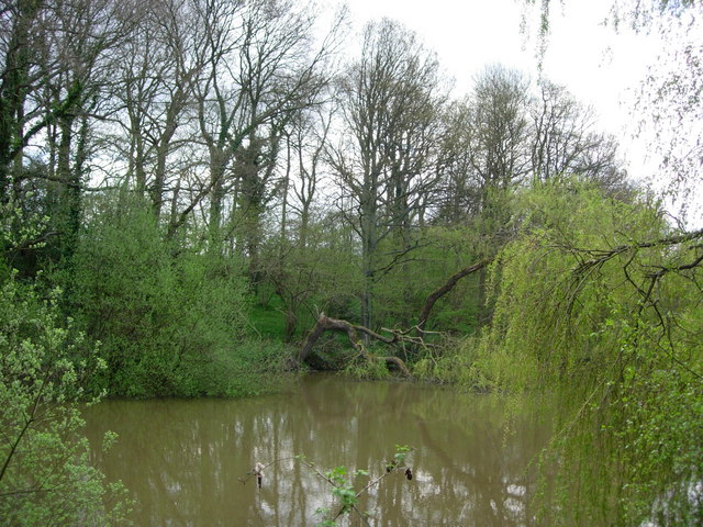
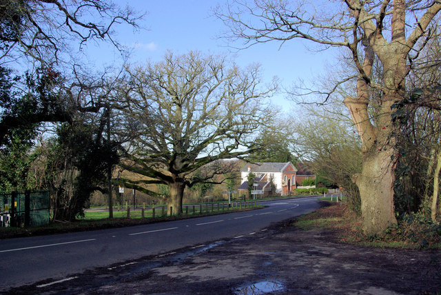
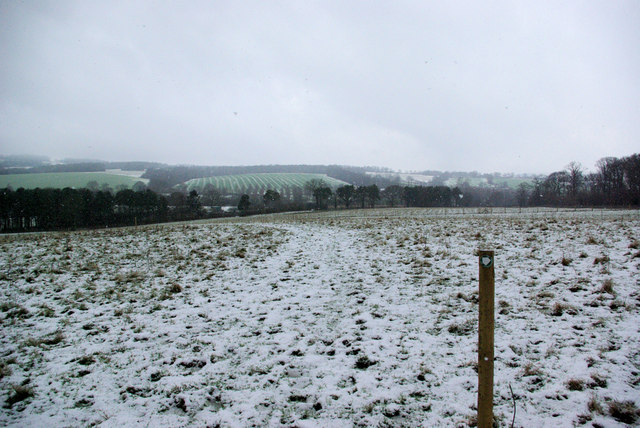
The woodland is characterized by its ancient trees, including oak, beech, and chestnut, which provide a dense canopy that filters sunlight and creates a serene ambiance. The forest floor is covered in a vibrant carpet of wildflowers, ferns, and mosses, making it a haven for various plant species and a delight for botanical enthusiasts.
Beggars Barn Shaw is home to a diverse range of wildlife. Visitors may spot elusive deer, rabbits, and squirrels, as well as a myriad of bird species, including woodpeckers, owls, and thrushes. The forest's peaceful environment also attracts a variety of butterflies and insects, adding to its charm.
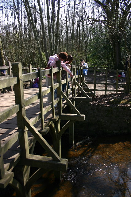
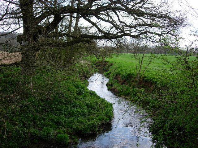
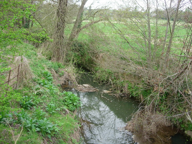
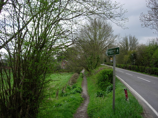
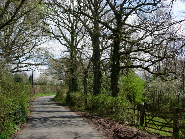
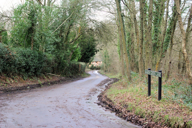
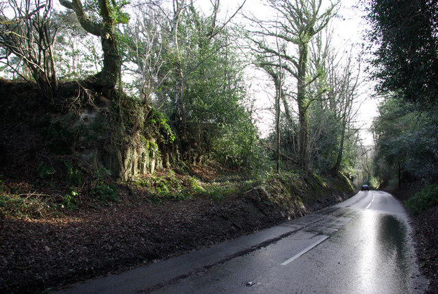
The woodland is crisscrossed by a network of walking trails, allowing visitors to explore its beauty at their own pace. These paths wind through the trees, over babbling brooks, and past hidden glades, providing a sense of adventure and discovery. There are ample opportunities for photography, picnicking, and simply immersing oneself in the tranquility of nature.
Beggars Barn Shaw is a true gem of Sussex, offering a slice of unspoiled wilderness in an otherwise bustling region. Its natural beauty, diverse wildlife, and peaceful atmosphere make it a must-visit destination for nature enthusiasts and those seeking a respite from the modern world.
If you have any feedback on the listing, please let us know in the comments section below.
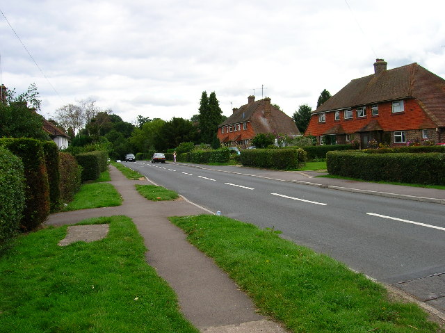
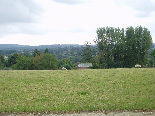
Beggars Barn Shaw Images
Images are sourced within 2km of 51.094819/0.093237991 or Grid Reference TQ4634. Thanks to Geograph Open Source API. All images are credited.


Beggars Barn Shaw is located at Grid Ref: TQ4634 (Lat: 51.094819, Lng: 0.093237991)
Administrative County: East Sussex
District: Wealden
Police Authority: Sussex
What 3 Words
///dilute.pedicure.insurance. Near Forest Row, East Sussex
Nearby Locations
Related Wikis

Upper Hartfield
Upper Hartfield is a small village slightly west of Hartfield in East Sussex, England. The Tudor house "Apedroc" in Upper Hartfield is the former home...

Cotchford Farm
Cotchford Farm is a farmhouse building to the southwest of the village of Hartfield, East Sussex, in the High Weald Area of Outstanding Natural Beauty...

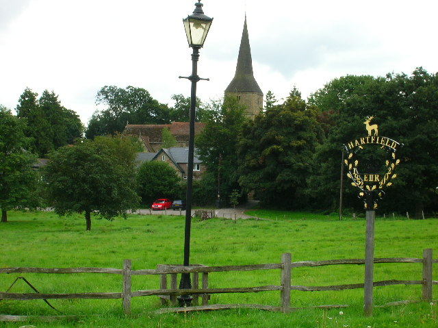
Hartfield
Hartfield is a village and civil parish in the Wealden district of East Sussex, England. The parish also includes the settlements of Colemans Hatch, Hammerwood...

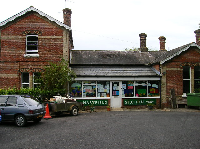
Hartfield railway station
Hartfield was a railway station serving Hartfield, England, on the Three Bridges to Tunbridge Wells Central Line which closed in 1967, a casualty of the...

Ashdown House, East Sussex
Ashdown House is a country house and former school near Forest Row, East Sussex, England, a Grade II* listed building. One of the first houses in England...
Withyham Priory
Withyham Priory was a Benedictine monastic house in East Sussex, extant in 1086 and dissolved in 1413. == History == Robert, Count of Mortain, some time...

Withyham
Withyham is a village and large civil parish in the Wealden district of East Sussex, England. The village is situated 7 miles south west of Royal Tunbridge...
Oliver Sutton (RAF officer)
Captain Oliver Manners Sutton (12 March 1896 – 16 August 1921) was a British First World War flying ace credited with seven aerial victories. == Family... ==
Related Videos


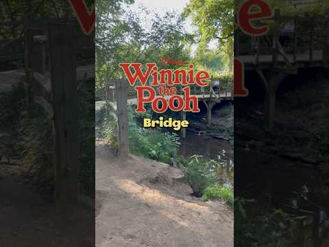
Walking to Winnie The Pooh's Bridge
Walking tour to see Winnie the Pooh's sticks bridge on a beautiful spring day in Ashdown Forest, England.

Tea at Pooh Corner, Hartfield 🫖
Join me to have tea at Pooh Corner in Hartfield, UK They also have a Pooh'seum & a gift ship! #winniethepooh #poohcorner ...
Nearby Amenities
Located within 500m of 51.094819,0.093237991Have you been to Beggars Barn Shaw?
Leave your review of Beggars Barn Shaw below (or comments, questions and feedback).