Graddock's Pit Wood
Wood, Forest in Sussex Wealden
England
Graddock's Pit Wood
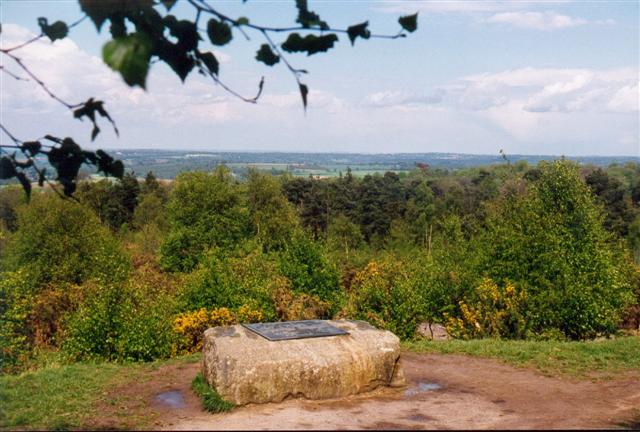
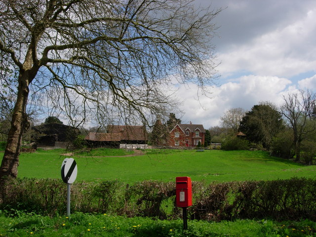
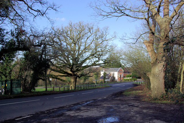
Graddock's Pit Wood is a picturesque woodland located in Sussex, England. Covering an area of approximately 50 acres, it is a popular destination for nature enthusiasts and outdoor adventurers alike. The wood is nestled within the South Downs National Park, offering visitors a serene and tranquil environment to explore.
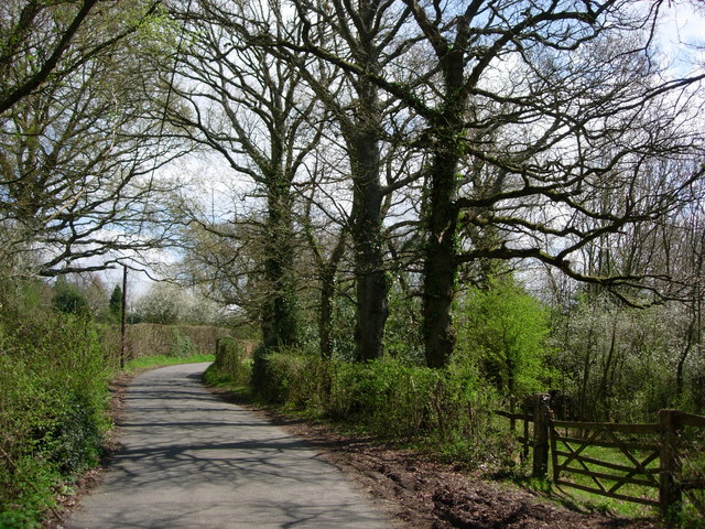
The woodland is predominantly composed of native broadleaf trees, including oak, beech, and birch. These trees create a dense canopy that provides shade and shelter for a diverse range of flora and fauna. Wildflowers such as bluebells and primroses carpet the forest floor during the spring, adding a burst of color to the landscape.
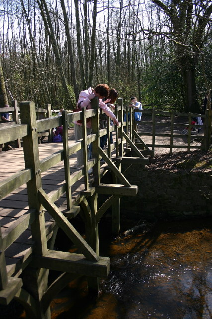
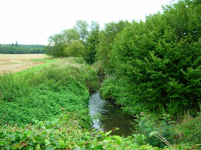
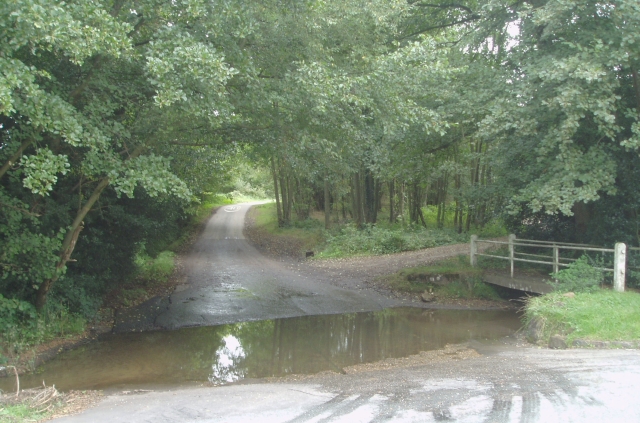
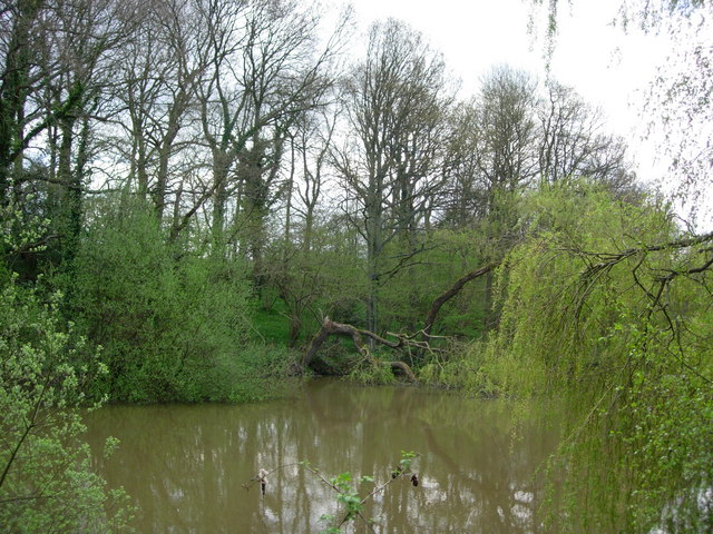
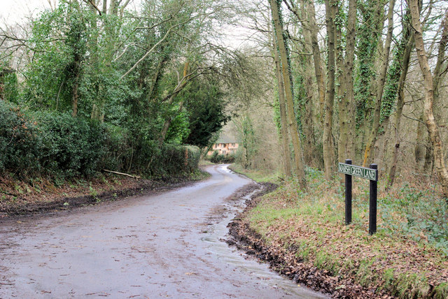
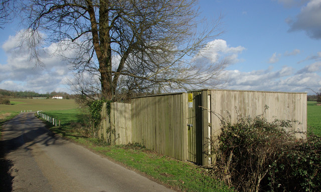
Several walking trails crisscross the wood, allowing visitors to discover its hidden treasures. Along these trails, one may stumble upon charming streams and small ponds, which are home to various aquatic species. The wood is also inhabited by a variety of bird species, making it a haven for birdwatchers.
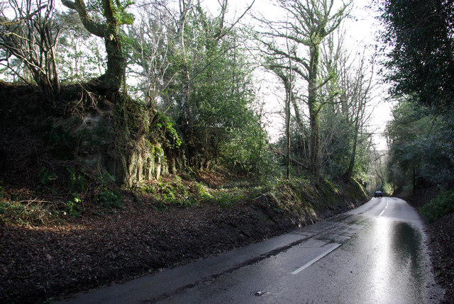
Graddock's Pit Wood is a designated Site of Special Scientific Interest (SSSI) due to its rich biodiversity. Conservation efforts have been put in place to protect the wood's unique ecosystem, including the preservation of ancient trees and the control of invasive plant species.
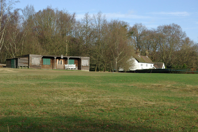
Visitors to Graddock's Pit Wood can enjoy a day of peaceful exploration, birdwatching, or simply immersing themselves in the beauty of nature. Whether it's a leisurely stroll or a more adventurous hike, this woodland offers an escape from the hustle and bustle of everyday life, allowing visitors to reconnect with the natural world.
If you have any feedback on the listing, please let us know in the comments section below.
Graddock's Pit Wood Images
Images are sourced within 2km of 51.089884/0.084047075 or Grid Reference TQ4634. Thanks to Geograph Open Source API. All images are credited.


Graddock's Pit Wood is located at Grid Ref: TQ4634 (Lat: 51.089884, Lng: 0.084047075)
Administrative County: East Sussex
District: Wealden
Police Authority: Sussex
What 3 Words
///exacted.flanked.stability. Near Forest Row, East Sussex
Nearby Locations
Related Wikis

Upper Hartfield
Upper Hartfield is a small village slightly west of Hartfield in East Sussex, England. The Tudor house "Apedroc" in Upper Hartfield is the former home...

Cotchford Farm
Cotchford Farm is a farmhouse building to the southwest of the village of Hartfield, East Sussex, in the High Weald Area of Outstanding Natural Beauty...

Ashdown House, East Sussex
Ashdown House is a country house and former school near Forest Row, East Sussex, England, a Grade II* listed building. One of the first houses in England...

Hartfield
Hartfield is a village and civil parish in the Wealden district of East Sussex, England. The parish also includes the settlements of Colemans Hatch, Hammerwood...
Emerson College (UK)
Emerson College, UK was founded in 1962 by Francis Edmunds. It is now situated on Pixton Hill, Forest Row in East Sussex, UK. It was named after Ralph...

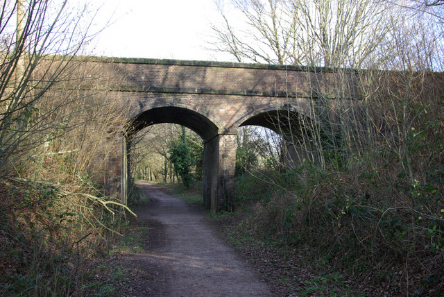
Hartfield railway station
Hartfield was a railway station serving Hartfield, England, on the Three Bridges to Tunbridge Wells Central Line which closed in 1967, a casualty of the...
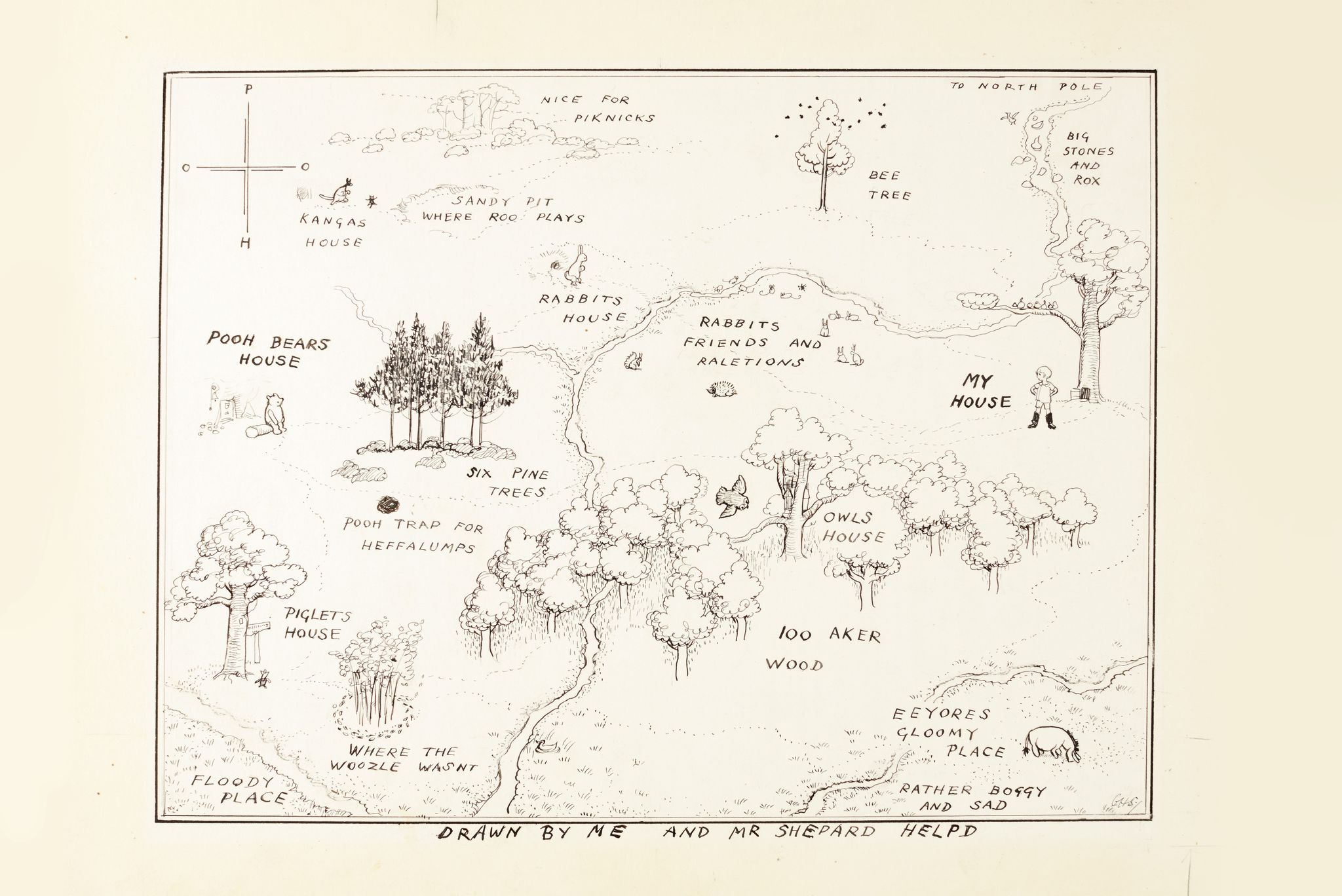
Hundred Acre Wood
The Hundred Acre Wood (also spelled as 100 Aker Wood, Hundred-Acre Wood, and 100 Acre Wood; also known as simply "The Wood") is a part of the fictional...
Withyham Priory
Withyham Priory was a Benedictine monastic house in East Sussex, extant in 1086 and dissolved in 1413. == History == Robert, Count of Mortain, some time...
Nearby Amenities
Located within 500m of 51.089884,0.084047075Have you been to Graddock's Pit Wood?
Leave your review of Graddock's Pit Wood below (or comments, questions and feedback).