Hodore Wood

Wood, Forest in Sussex Wealden

England

Hodore Wood

Pooh Sticks Bridge, Ashdown Forest AA Milne's famous bridge.
Pooh Sticks Bridge, Ashdown Forest Credit: David BROOKER

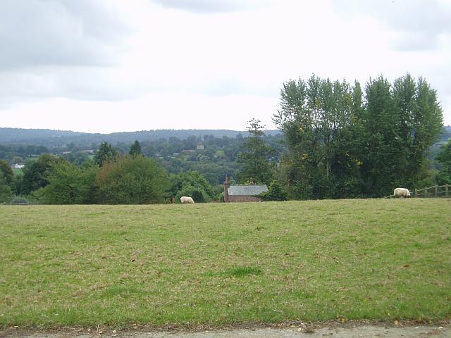
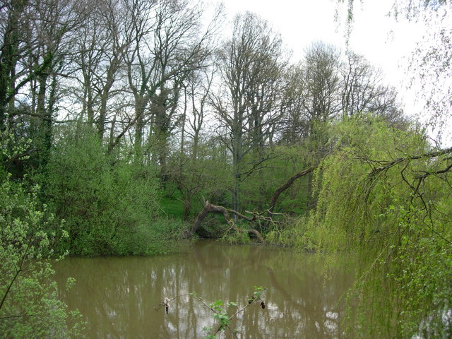
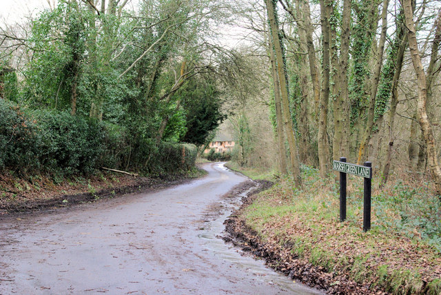
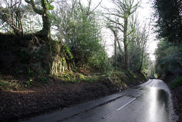
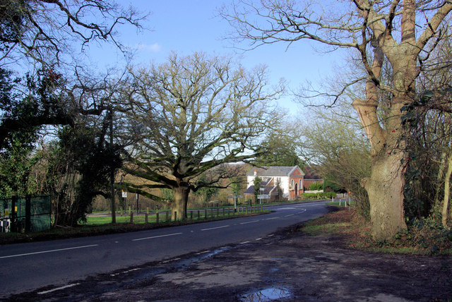
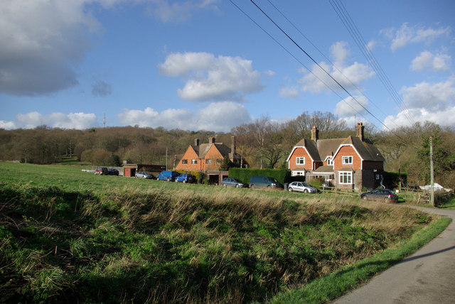
Hodore Wood is a picturesque forest located in Sussex, England. Covering an area of approximately 500 acres, it is renowned for its natural beauty and diverse range of flora and fauna. The wood is nestled amidst rolling hills and offers breathtaking views of the surrounding countryside.

One of the notable features of Hodore Wood is its ancient woodland, which dates back several centuries. The dense canopy of towering oak, beech, and ash trees provides a haven for wildlife, including deer, foxes, badgers, and a variety of bird species. The wood is also home to rare and protected species, such as the lesser spotted woodpecker and the purple emperor butterfly.

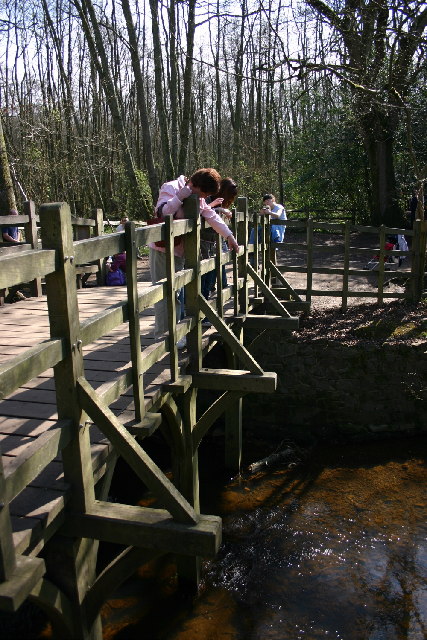
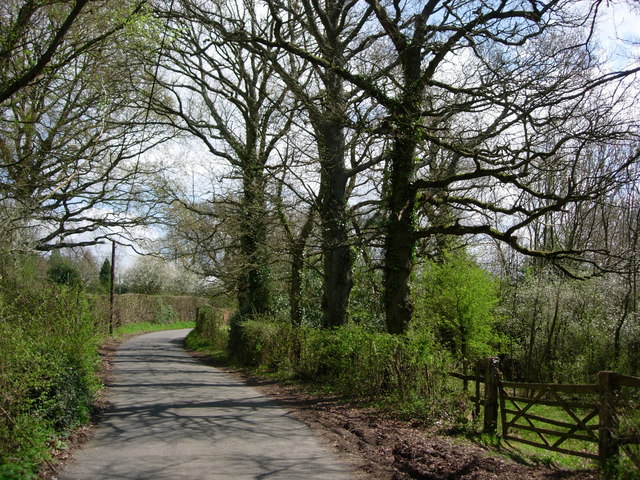
Visitors to Hodore Wood can enjoy a network of well-maintained walking trails that meander through the forest. These trails are suitable for all ages and fitness levels, allowing visitors to explore the wood at their own pace. Along the way, there are several designated picnic areas and benches where visitors can rest and appreciate the tranquil surroundings.

Hodore Wood is particularly popular during the spring and summer months when the forest comes alive with vibrant wildflowers, including bluebells, primroses, and foxgloves. The wood also offers a stunning display of autumn colors, with the leaves of the trees turning various shades of red, orange, and gold.

Managed by the Sussex Wildlife Trust, Hodore Wood is committed to promoting conservation and environmental education. The trust organizes regular guided walks and nature workshops to raise awareness about the importance of protecting this unique woodland habitat.

If you have any feedback on the listing, please let us know in the comments section below.
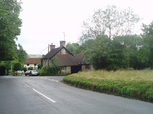
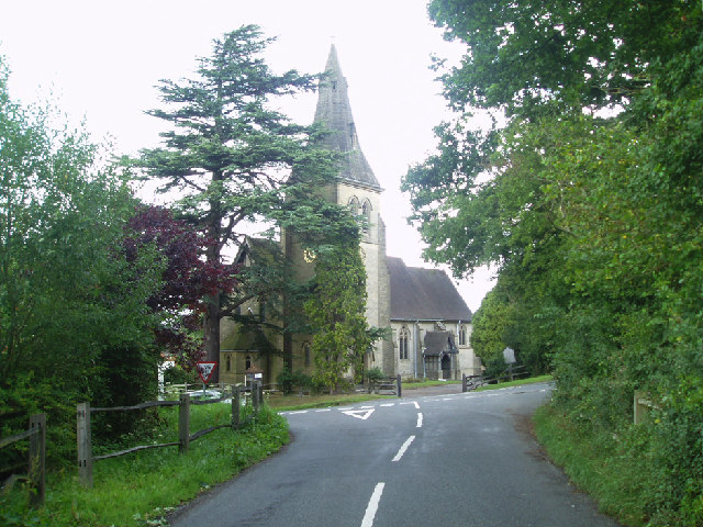
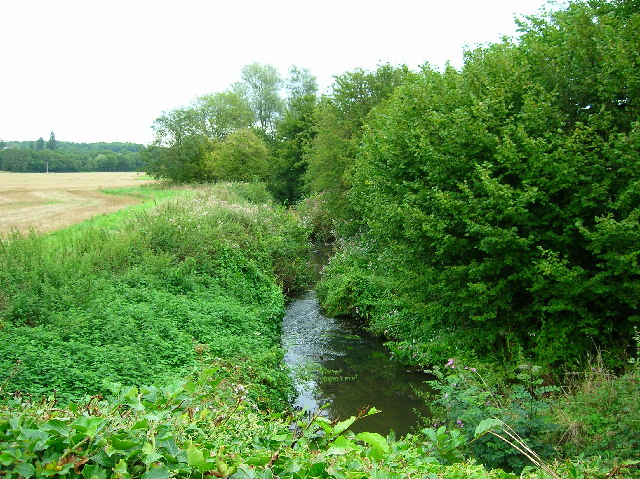
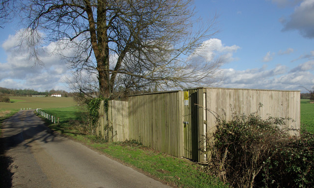
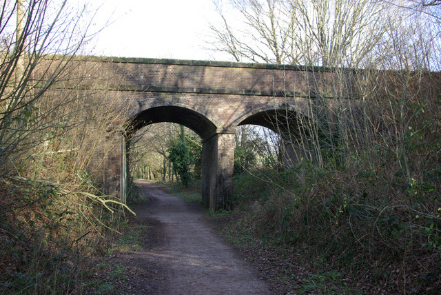
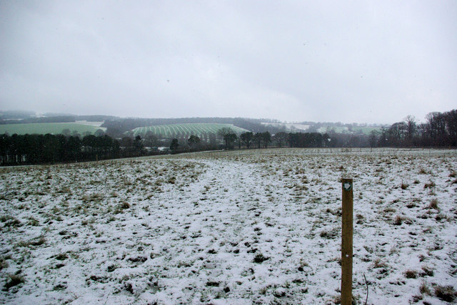
Hodore Wood Images

Images are sourced within 2km of 51.094287/0.085259048 or Grid Reference TQ4634. Thanks to Geograph Open Source API. All images are credited.

Pooh Sticks Bridge, Ashdown Forest AA Milne's famous bridge.
Pooh Sticks Bridge, Ashdown Forest
AA Milne's famous bridge.
Hatch Inn at Colemans Hatch Serving Harveys bitter and good food. A popular haunt but parking can be tricky on busy days.
Hatch Inn at Colemans Hatch
Serving Harveys bitter and good food. A popular haunt but parking can be tricky on busy days.
Colemans Hatch church The church is on a sharp bend on the road from Forest Row to Upper Hartfield
Colemans Hatch church
The church is on a sharp bend on the road from Forest Row to Upper Hartfield
River Medway Taken from the roadbridge that leads to Ashdown School.
River Medway
Taken from the roadbridge that leads to Ashdown School.
Sawpit Wood From Forest Way
Sawpit Wood
From Forest Way
Towards Hartfield From Butcherfield Lane looking south towards Hartfield. You can just make out the spire at St Mary the Virgin Parish Church
Towards Hartfield
From Butcherfield Lane looking south towards Hartfield. You can just make out the spire at St Mary the Virgin Parish Church
A Pond in Parrock Lane, Upper Hartfield A pretty pond by the roadside.
A Pond in Parrock Lane, Upper Hartfield
A pretty pond by the roadside.
Parrock Lane near Upper Hartdield A narrow country lane with farms and large houses.
Parrock Lane near Upper Hartdield
A narrow country lane with farms and large houses.
Little Parrock Farm The farm is situated at the junction of Parrock Lane and the B2110 near to Forest Row.
Little Parrock Farm
The farm is situated at the junction of Parrock Lane and the B2110 near to Forest Row.
Marsh Green Lane Viewed from its eastern end.
Marsh Green Lane
Viewed from its eastern end.
B2026 South of Hartfield Looking north. Rock of the Ashdown Beds exposed on left.
B2026 South of Hartfield
Looking north. Rock of the Ashdown Beds exposed on left.
Cotchford Lane Looking towards Upper Hartfield.
Cotchford Lane
Looking towards Upper Hartfield.
Kilnwood Farm Entrance On Cotchford Lane, Hartfield.
Kilnwood Farm Entrance
On Cotchford Lane, Hartfield.
B2110/B2026 Junction, Hartfield. This is the junction south of Hartfield, the B2026 is in the foreground, the B2110 behind the tree.
B2110/B2026 Junction, Hartfield.
This is the junction south of Hartfield, the B2026 is in the foreground, the B2110 behind the tree.
Cottages, Ashdown Park Farm The communications tower at the top of Highams Wood is visible on the skyline.
Cottages, Ashdown Park Farm
The communications tower at the top of Highams Wood is visible on the skyline.
Satellite Borehole 444009 In the Medway valley.
Satellite Borehole 444009
In the Medway valley.
Two-arched Bridge On the Forest Way, the old East Grinstead - Tunbridge Wells railway. The over-bridges here appear built for double track, the cutting for single track.
Two-arched Bridge
On the Forest Way, the old East Grinstead - Tunbridge Wells railway. The over-bridges here appear built for double track, the cutting for single track.
Permissive Path towards Lower Parrock The path actually heads for the local sewage works first, hidden in the trees at the bottom of the field.
Permissive Path towards Lower Parrock
The path actually heads for the local sewage works first, hidden in the trees at the bottom of the field.
Show me another place!

Hodore Wood is located at Grid Ref: TQ4634 (Lat: 51.094287, Lng: 0.085259048)

Administrative County: East Sussex

District: Wealden

Police Authority: Sussex

What 3 Words

///quilting.bathtubs.doctor. Near Forest Row, East Sussex

Related Wikis

Upper Hartfield

Upper Hartfield is a small village slightly west of Hartfield in East Sussex, England. The Tudor house "Apedroc" in Upper Hartfield is the former home...

Cotchford Farm

Cotchford Farm is a farmhouse building to the southwest of the village of Hartfield, East Sussex, in the High Weald Area of Outstanding Natural Beauty...

Ashdown House, East Sussex

Ashdown House is a country house and former school near Forest Row, East Sussex, England, a Grade II* listed building. One of the first houses in England...

Hartfield

Hartfield is a village and civil parish in the Wealden district of East Sussex, England. The parish also includes the settlements of Colemans Hatch, Hammerwood...

Hartfield railway station

Hartfield was a railway station serving Hartfield, England, on the Three Bridges to Tunbridge Wells Central Line which closed in 1967, a casualty of the...

Emerson College (UK)

Emerson College, UK was founded in 1962 by Francis Edmunds. It is now situated on Pixton Hill, Forest Row in East Sussex, UK. It was named after Ralph...

Withyham Priory

Withyham Priory was a Benedictine monastic house in East Sussex, extant in 1086 and dissolved in 1413. == History == Robert, Count of Mortain, some time...

Bassetts Manor

Bassetts Manor is a Grade II-listed building in Hartfield, East Sussex, England. == Location == The manor is located North of the village of Hartfield...

Nearby Amenities

Located within 500m of 51.094287,0.085259048
Bus Stop
Garage
Public Transport: platform
Lat/Long: 51.0925816/0.0910482
Post Box
Operator: Royal Mail
Post Box Type: wall
Ref: TN7 154
Royal Cypher: GR
Royal Cypher Wikidata: Q33102273
Lat/Long: 51.0929553/0.0916919
Bus Stop
Garage
Bus: yes
Public Transport: platform
Shelter: yes
Lat/Long: 51.093138/0.0918642
Barrier: stile
Lat/Long: 51.0936554/0.079963
The data included in this document is from www.openstreetmap.org. The data is made available under ODbL.

Have you been to Hodore Wood?

Leave your review of Hodore Wood below (or comments, questions and feedback).