Hartfield, Upper
Settlement in Sussex Wealdon
England
Hartfield, Upper
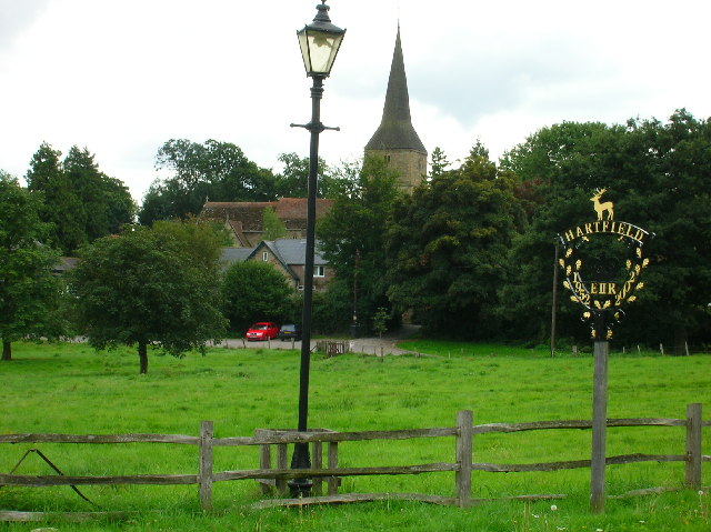
Hartfield is a small village located in the Upper Weald district of Sussex, England. Situated approximately 35 miles south of London, it is nestled within the picturesque High Weald Area of Outstanding Natural Beauty. The village is part of the Wealden district and falls under the jurisdiction of East Sussex County.
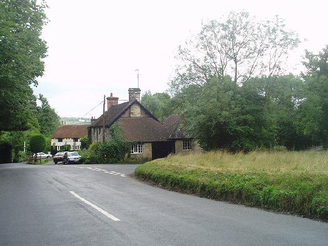
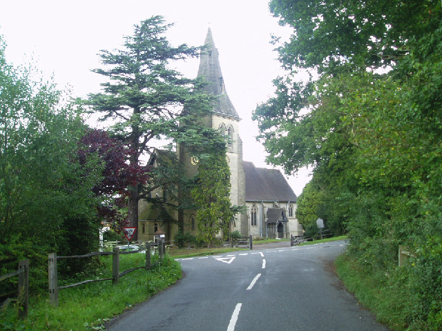
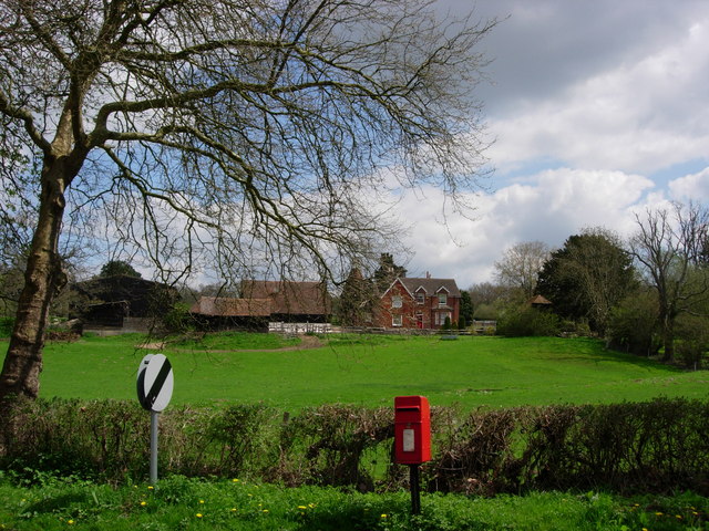
With a population of around 2,500 residents, Hartfield offers a peaceful and close-knit community atmosphere. The village is characterized by its charming traditional architecture, including historic cottages and buildings, which add to its quaint and idyllic appeal.
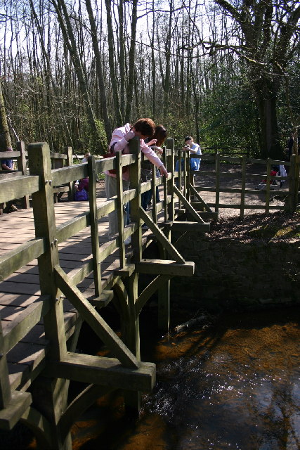
Hartfield is perhaps best known as the hometown of the beloved fictional character, Winnie-the-Pooh. The connection to author A.A. Milne and his famous stories draws visitors from around the world to explore the surrounding Ashdown Forest, which served as the inspiration for the Hundred Acre Wood.
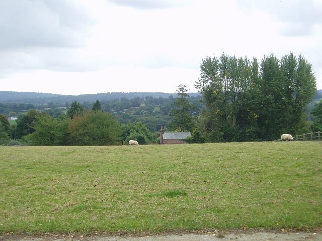
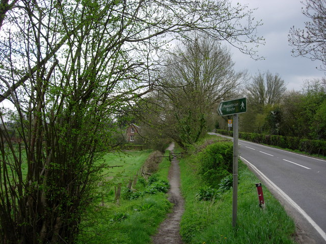
The village boasts a range of amenities for its residents, including a primary school, a post office, a village hall, and several local shops and pubs. The surrounding countryside offers ample opportunities for outdoor activities such as hiking, cycling, and horse riding, with numerous trails and bridleways to explore.
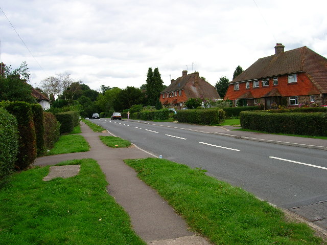
Despite its rural setting, Hartfield enjoys good transport links. The A22 road runs nearby, providing easy access to larger towns and cities. Additionally, the village is well-connected by bus routes, with regular services to nearby towns and railway stations.
Overall, Hartfield is a charming and tranquil village that combines natural beauty, a rich literary history, and a strong sense of community, making it an attractive place to live or visit.
If you have any feedback on the listing, please let us know in the comments section below.
Hartfield, Upper Images
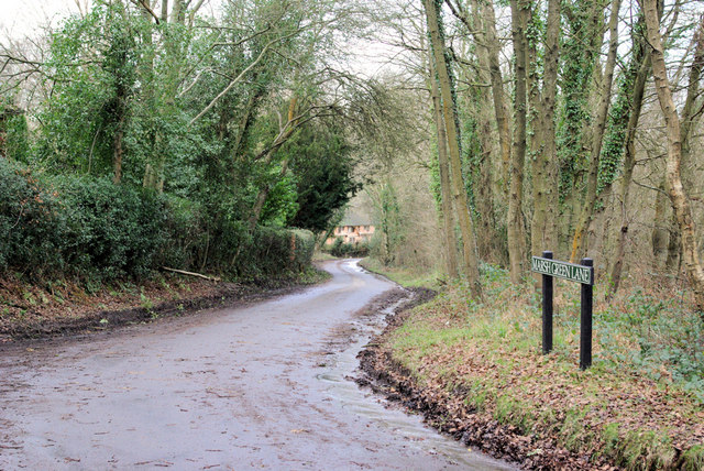
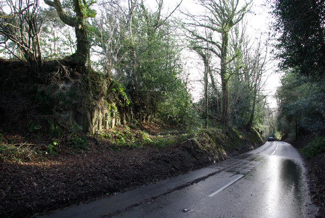
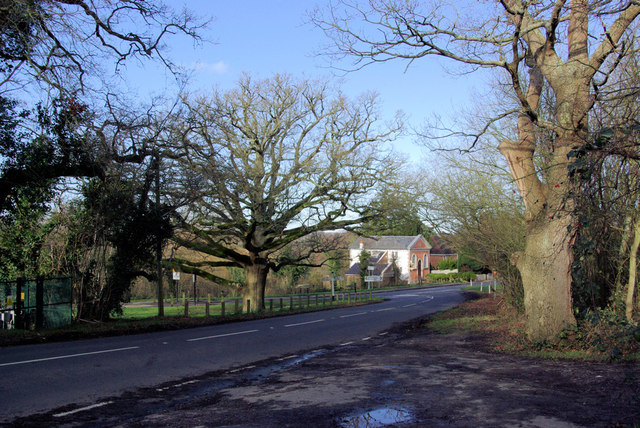
Images are sourced within 2km of 51.093003/0.09169928 or Grid Reference TQ4634. Thanks to Geograph Open Source API. All images are credited.


Hartfield, Upper is located at Grid Ref: TQ4634 (Lat: 51.093003, Lng: 0.09169928)
Administrative County: East Sussex
District: Wealdon
Police Authority: Sussex
What 3 Words
///bashed.escorting.lamppost. Near Forest Row, East Sussex
Nearby Locations
Related Wikis

Upper Hartfield
Upper Hartfield is a small village slightly west of Hartfield in East Sussex, England. The Tudor house "Apedroc" in Upper Hartfield is the former home...

Cotchford Farm
Cotchford Farm is a farmhouse building to the southwest of the village of Hartfield, East Sussex, in the High Weald Area of Outstanding Natural Beauty...

Hartfield
Hartfield is a village and civil parish in the Wealden district of East Sussex, England. The parish also includes the settlements of Colemans Hatch, Hammerwood...

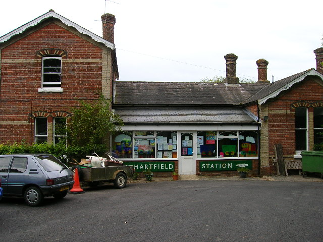
Hartfield railway station
Hartfield was a railway station serving Hartfield, England, on the Three Bridges to Tunbridge Wells Central Line which closed in 1967, a casualty of the...

Ashdown House, East Sussex
Ashdown House is a country house and former school near Forest Row, East Sussex, England, a Grade II* listed building. One of the first houses in England...
Withyham Priory
Withyham Priory was a Benedictine monastic house in East Sussex, extant in 1086 and dissolved in 1413. == History == Robert, Count of Mortain, some time...
Emerson College (UK)
Emerson College, UK was founded in 1962 by Francis Edmunds. It is now situated on Pixton Hill, Forest Row in East Sussex, UK. It was named after Ralph...

Withyham
Withyham is a village and large civil parish in the Wealden district of East Sussex, England. The village is situated 7 miles south west of Royal Tunbridge...
Nearby Amenities
Located within 500m of 51.093003,0.09169928Have you been to Hartfield, Upper?
Leave your review of Hartfield, Upper below (or comments, questions and feedback).