Godwell's Grove
Wood, Forest in Essex Uttlesford
England
Godwell's Grove
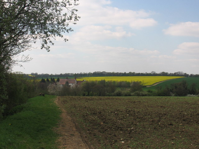
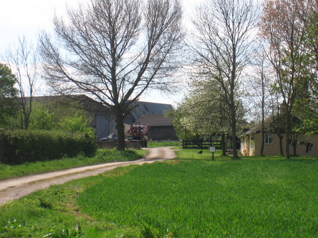
Godwell's Grove is a picturesque woodland area located in the county of Essex, England. Covering an area of approximately 100 acres, it is known for its natural beauty and diverse ecosystem. The grove is situated near the village of Godwell, hence its name, and is easily accessible by foot or car.
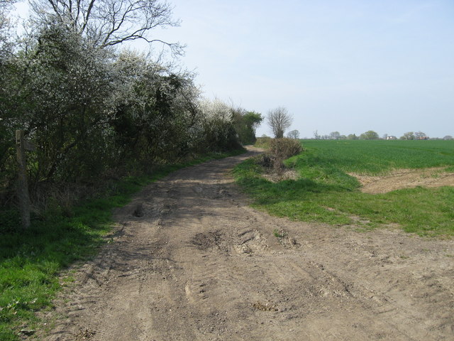
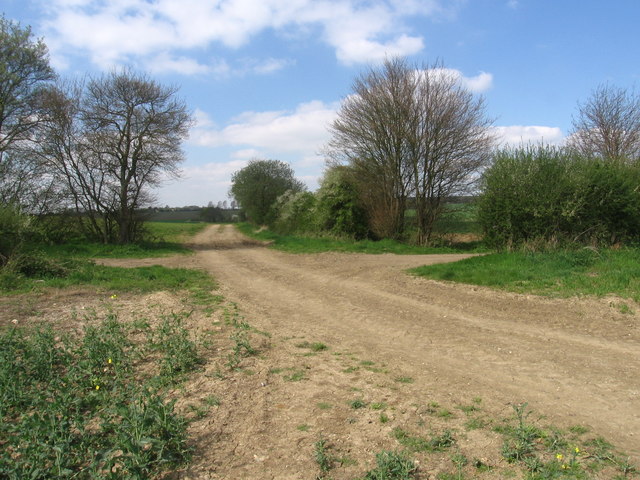
The woodland is primarily composed of broad-leaved trees, including oak, beech, and ash, which create a dense canopy that provides shade and shelter for a variety of wildlife. The forest floor is adorned with a rich carpet of ferns, wildflowers, and mosses, adding to the enchanting atmosphere of the grove.
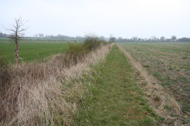
Godwell's Grove is a haven for nature enthusiasts and hikers alike. It offers numerous walking trails that wind through the woods, allowing visitors to explore its hidden corners and discover its natural wonders. Along the paths, one can find charming wooden benches and picnic spots, offering the perfect setting for a leisurely break or a romantic outing.
The grove is also home to a diverse range of wildlife, including squirrels, rabbits, and a variety of bird species. Nature lovers can often spot elusive creatures such as deer or foxes, adding an element of excitement to their visit.
Throughout the year, Godwell's Grove showcases the changing seasons in all their glory. In spring, the forest floor comes alive with a riot of colorful wildflowers, while autumn brings a stunning display of vibrant foliage. Even in winter, the grove retains its beauty, with frost-covered trees and a peaceful, serene atmosphere.
Overall, Godwell's Grove is a true gem of Essex, offering a tranquil escape from the hustle and bustle of everyday life. Its natural beauty and abundant wildlife make it a must-visit destination for anyone seeking solace in nature.
If you have any feedback on the listing, please let us know in the comments section below.
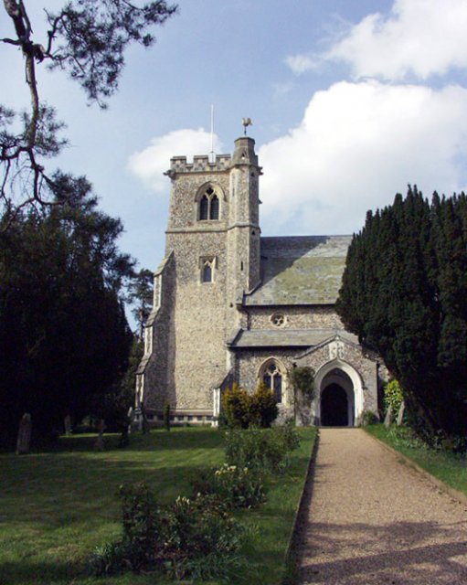
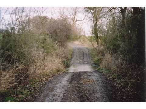
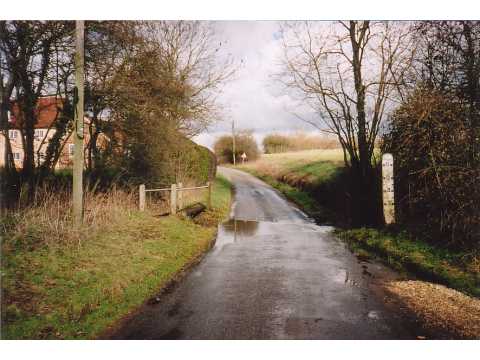
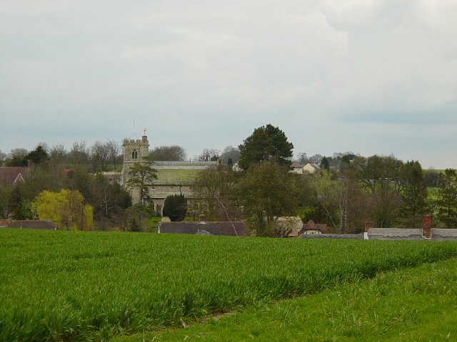
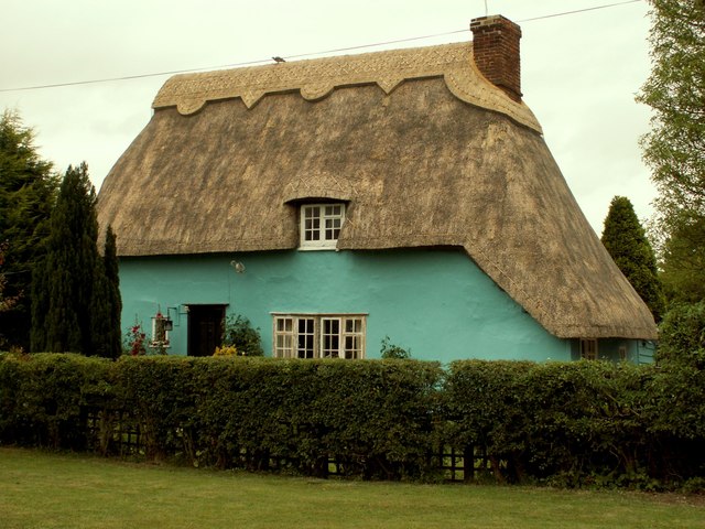
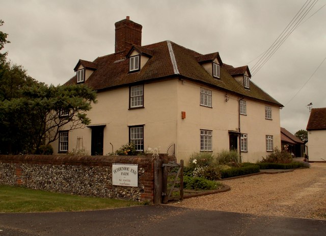
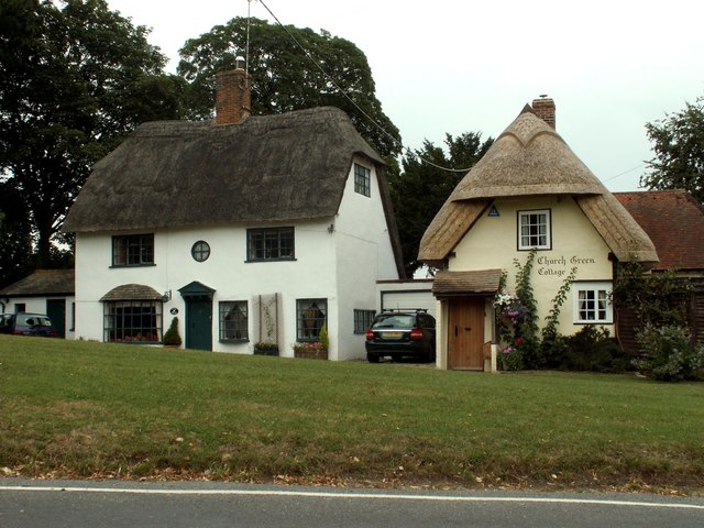
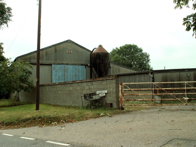
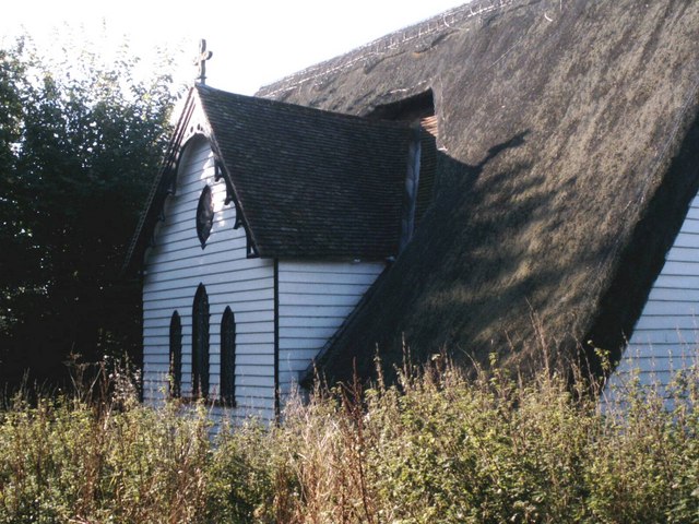
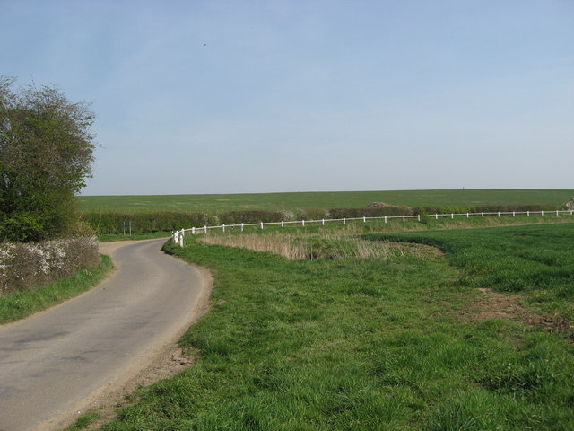
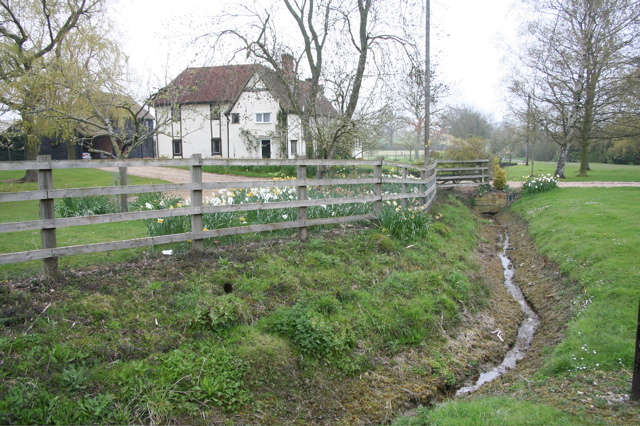
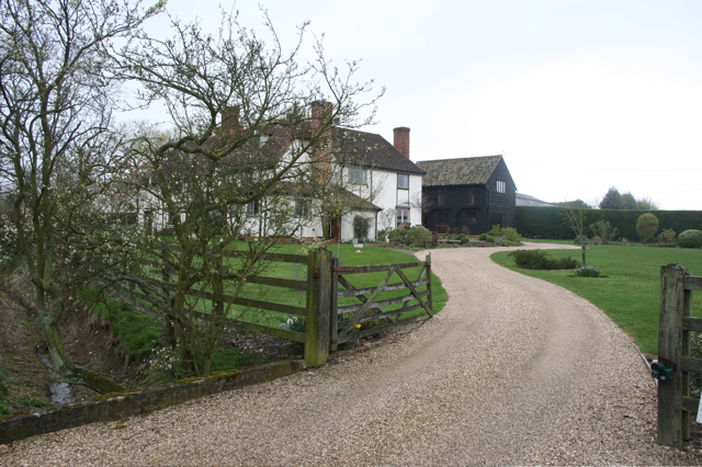
Godwell's Grove Images
Images are sourced within 2km of 51.999806/0.13518186 or Grid Reference TL4635. Thanks to Geograph Open Source API. All images are credited.
Godwell's Grove is located at Grid Ref: TL4635 (Lat: 51.999806, Lng: 0.13518186)
Administrative County: Essex
District: Uttlesford
Police Authority: Essex
What 3 Words
///vans.roosts.tokens. Near Saffron Walden, Essex
Nearby Locations
Related Wikis

Duddenhoe End
Duddenhoe End is a small village in the civil parish of Elmdon & Wenden Lofts, in northwest Essex, England, and situated approximately halfway between...

Wenden Lofts
Wenden Lofts is a small community in the civil parish of Elmdon, Duddenhoe End & Wenden Lofts in the Uttlesford district, in the county of Essex, England...

Arkesden
Arkesden is a village and civil parish in the Uttlesford district of Essex, England. The village is 4.3 miles (7 km) south-west from Saffron Walden, approximately...

Langley, Essex
For the historic house in Essex called Langley's, see Great Waltham. Langley is a village and civil parish near Clavering in the English county of Essex...

Littlebury Green
Littlebury Green is a village in the civil parish of Littlebury and the district of Uttlesford in Essex, England. Littlebury Green is one of three settlements...

Clavering Castle
Clavering Castle remains are situated in the small parish village of Clavering in the county of Essex, England, 50m north of the church of St Mary and...

Elmdon
See also, Elmdon, West Midlands.Elmdon is a village in the civil parish of Elmdon, Duddenhoe End & Wenden Lofts situated in the Uttlesford district of...

Wicken Bonhunt
Wicken Bonhunt is a village and a civil parish of north-west Essex, in the non-metropolitan district of Uttlesford, England. It is on the B1038 (Buntingford...
Nearby Amenities
Located within 500m of 51.999806,0.13518186Have you been to Godwell's Grove?
Leave your review of Godwell's Grove below (or comments, questions and feedback).