Clodmore Hill
Hill, Mountain in Essex Uttlesford
England
Clodmore Hill
Clodmore Hill is a prominent geographical feature located in the county of Essex, England. Standing at an elevation of approximately 100 meters above sea level, it is often referred to as a hill, although it falls short of the technical definition of a mountain.
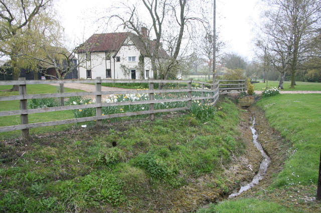
Situated in the northeastern part of Essex, Clodmore Hill is surrounded by picturesque countryside and offers breathtaking views of the surrounding landscape. The hill is primarily composed of chalk, which gives it a distinctive white appearance and contributes to its unique character.
The area surrounding Clodmore Hill is rich in biodiversity, with a variety of flora and fauna making it their home. The hill is covered in lush grasslands and dotted with trees, providing habitat for a range of wildlife species. It is not uncommon to spot birds such as skylarks, kestrels, and buzzards soaring through the sky above the hill.
Clodmore Hill has also gained historical significance over the years. It is believed that the hill was once used as a defensive fortification during the Iron Age, with remnants of ancient earthworks still visible today. This adds to the allure of the site and attracts history enthusiasts and archaeology aficionados.
The hill is accessible to the public, with footpaths and trails allowing visitors to explore its slopes and take in the panoramic views. Many locals and tourists alike enjoy hiking or walking along these paths, experiencing the tranquility and beauty that Clodmore Hill has to offer.
Overall, Clodmore Hill is a remarkable natural landmark in Essex, providing a peaceful escape from the hustle and bustle of modern life while offering stunning vistas and a glimpse into the region's rich history.
If you have any feedback on the listing, please let us know in the comments section below.
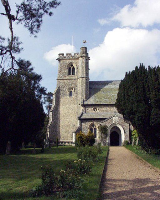
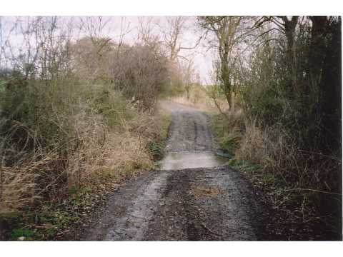
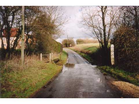
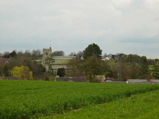
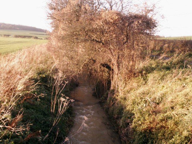
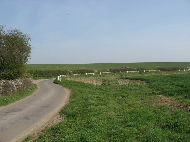
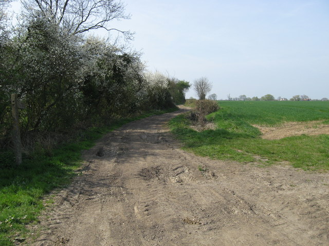
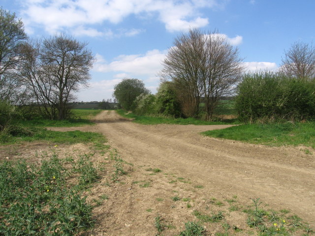
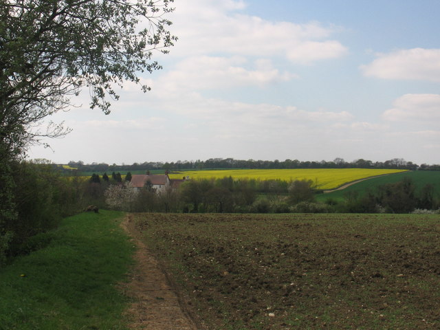
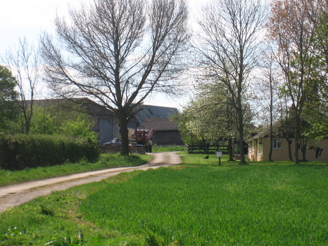
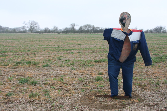
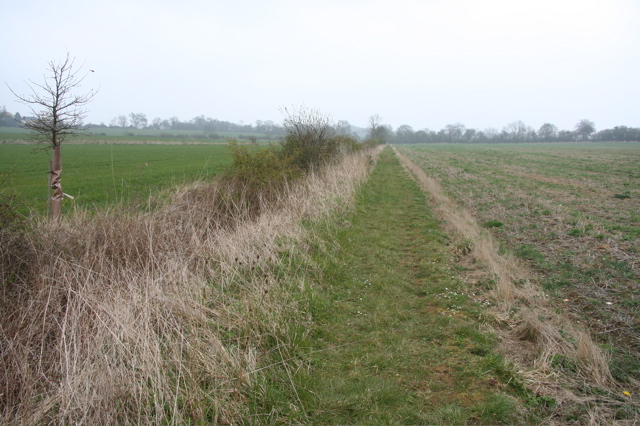
Clodmore Hill Images
Images are sourced within 2km of 51.997128/0.13907505 or Grid Reference TL4635. Thanks to Geograph Open Source API. All images are credited.

Clodmore Hill is located at Grid Ref: TL4635 (Lat: 51.997128, Lng: 0.13907505)
Administrative County: Essex
District: Uttlesford
Police Authority: Essex
What 3 Words
///cultivation.bravo.unlimited. Near Saffron Walden, Essex
Nearby Locations
Related Wikis

Arkesden
Arkesden is a village and civil parish in the Uttlesford district of Essex, England. The village is 4.3 miles (7 km) south-west from Saffron Walden, approximately...

Duddenhoe End
Duddenhoe End is a small village in the civil parish of Elmdon & Wenden Lofts, in northwest Essex, England, and situated approximately halfway between...

Langley, Essex
For the historic house in Essex called Langley's, see Great Waltham. Langley is a village and civil parish near Clavering in the English county of Essex...

Wenden Lofts
Wenden Lofts is a small community in the civil parish of Elmdon, Duddenhoe End & Wenden Lofts in the Uttlesford district, in the county of Essex, England...

Clavering Castle
Clavering Castle remains are situated in the small parish village of Clavering in the county of Essex, England, 50m north of the church of St Mary and...

Wicken Bonhunt
Wicken Bonhunt is a village and a civil parish of north-west Essex, in the non-metropolitan district of Uttlesford, England. It is on the B1038 (Buntingford...
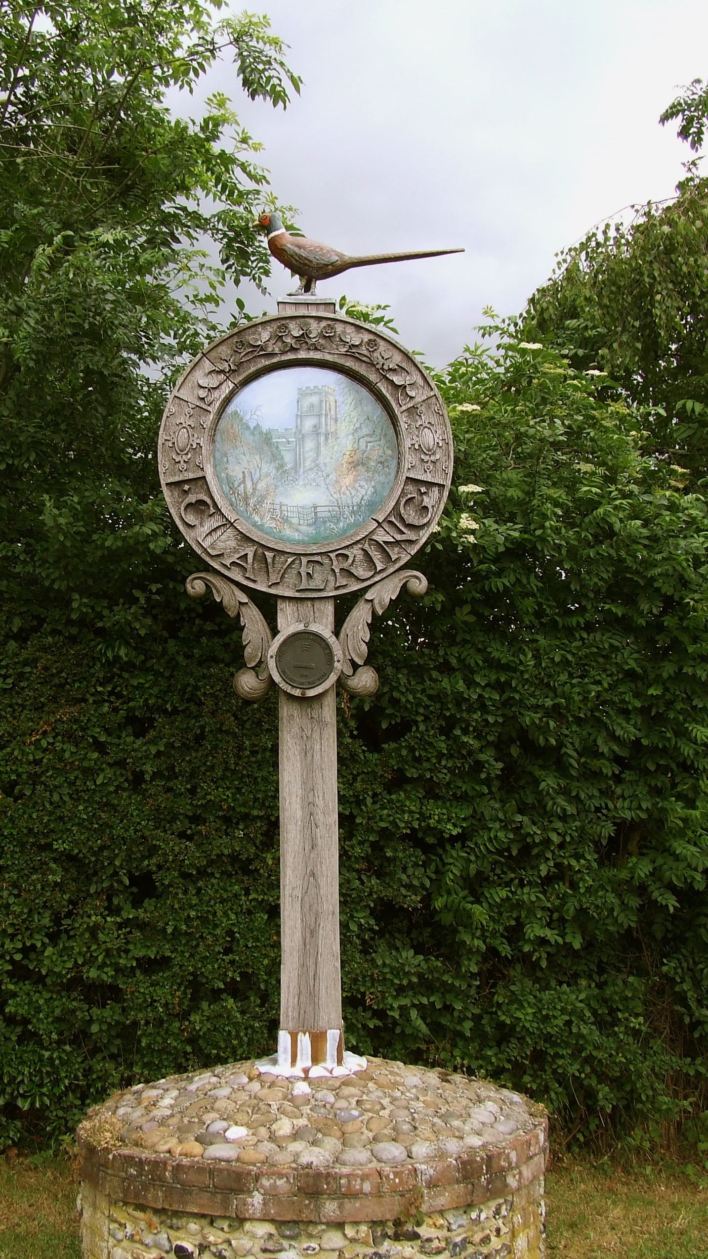
Clavering, Essex
Clavering is a village and also a parish in north-west Essex in England. It is about 20 miles (32 km) from Cambridge and 50 miles (80 km) from Southend...

Littlebury Green
Littlebury Green is a village in the civil parish of Littlebury and the district of Uttlesford in Essex, England. Littlebury Green is one of three settlements...
Nearby Amenities
Located within 500m of 51.997128,0.13907505Have you been to Clodmore Hill?
Leave your review of Clodmore Hill below (or comments, questions and feedback).