Camp Hill

Hill, Mountain in Sussex Wealden

England

Camp Hill

Nutley Windmill, Ashdown Forest (East Sussex) Nutley windmill is an open-trestle post mill, one of only five remaining in the UK. It is "open-trestle" because the supporting timbers (cross-trees, quarter-bars and upright post) are open to the elements. Most post mills have their trestle enclosed in a brick roundhouse.
Nutley Windmill, Ashdown Forest (East Sussex) Credit: Roy Henderson

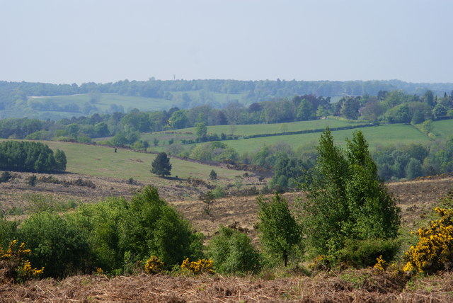
Camp Hill is a prominent hill located in the county of Sussex, England. Situated in the South Downs National Park, it forms part of the picturesque landscape that characterizes this region. Rising to an elevation of approximately 215 meters (705 feet), it offers breathtaking panoramic views of the surrounding countryside.

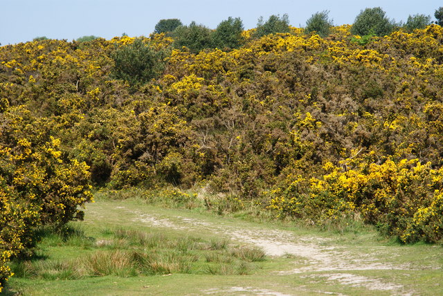
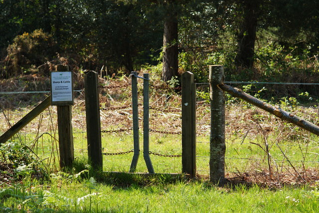
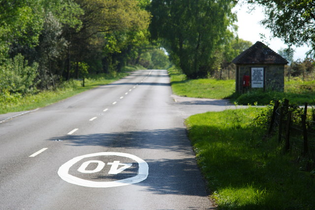
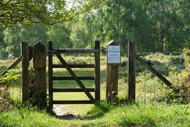
Covered predominantly in grass and shrubs, Camp Hill is a popular destination for hikers and nature enthusiasts. Its gentle slopes and well-maintained footpaths make it accessible to visitors of all ages and abilities. The hill's summit provides an ideal vantage point, allowing visitors to appreciate the beauty of the South Downs and the patchwork of fields, woodlands, and villages that stretch out before them.

Camp Hill has historical significance, with evidence of human activity dating back to ancient times. Archaeological finds suggest that it was once used as a hill fort during the Iron Age, providing a strategic position for its inhabitants. These remnants of the past add to the allure of the hill, attracting history enthusiasts and researchers eager to explore its secrets.

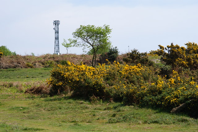
In addition to its natural and historical significance, Camp Hill also serves as a habitat for a diverse range of plant and animal species. The hill's unique ecosystem supports a variety of flora and fauna, including wildflowers, butterflies, and various bird species.

Overall, Camp Hill in Sussex offers an enriching experience for those seeking both natural beauty and historical intrigue. Its accessibility, stunning views, and ecological importance make it a cherished destination for locals and visitors alike.

If you have any feedback on the listing, please let us know in the comments section below.
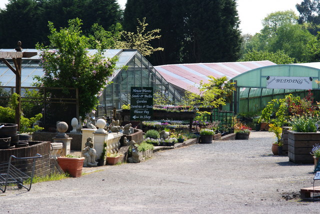
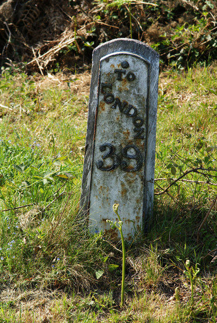
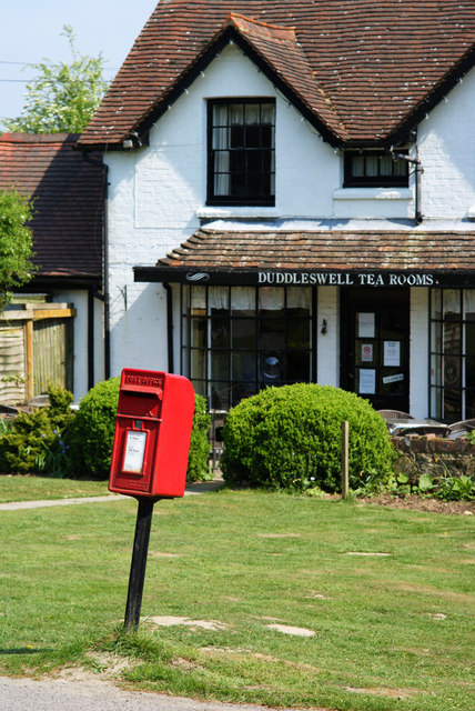
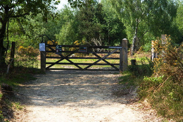
Camp Hill Images

Images are sourced within 2km of 51.040963/0.094418614 or Grid Reference TQ4628. Thanks to Geograph Open Source API. All images are credited.

Nutley Windmill, Ashdown Forest (East Sussex) Nutley windmill is an open-trestle post mill, one of only five remaining in the UK. It is "open-trestle" because the supporting timbers (cross-trees, quarter-bars and upright post) are open to the elements. Most post mills have their trestle enclosed in a brick roundhouse.
Nutley Windmill, Ashdown Forest (East Sussex)
Nutley windmill is an open-trestle post mill, one of only five remaining in the UK. It is "open-trestle" because the supporting timbers (cross-trees, quarter-bars and upright post) are open to the elements. Most post mills have their trestle enclosed in a brick roundhouse.
Track Through the Gorse Taken on the Vanguard Way, Ashdown Forest, Sussex.
Track Through the Gorse
Taken on the Vanguard Way, Ashdown Forest, Sussex.
Forest View, Ashdown Forest, Sussex Looking towards the north-west, from Vanguard Way.
Forest View, Ashdown Forest, Sussex
Looking towards the north-west, from Vanguard Way.
View Towards the Transmitter, Ashdown Forest, Sussex Photographed from Vanguard Way.
View Towards the Transmitter, Ashdown Forest, Sussex
Photographed from Vanguard Way.
Triangulation Pillar, Camp Hill, Sussex On the Ashdown Forest, at a height of 198 metres.
Triangulation Pillar, Camp Hill, Sussex
On the Ashdown Forest, at a height of 198 metres.
Camp Hill, Ashdown Forest, Sussex A clump of trees at the summit of one of the higher points (198m) on the Ashdown Forest.
Camp Hill, Ashdown Forest, Sussex
A clump of trees at the summit of one of the higher points (198m) on the Ashdown Forest.
View From Camp Hill, Sussex Looking north, from this small hill on the Ashdown Forest.
View From Camp Hill, Sussex
Looking north, from this small hill on the Ashdown Forest.
View From Camp Hill, Sussex Looking from this small hill, on the Ashdown Forest, towards the north-west.
View From Camp Hill, Sussex
Looking from this small hill, on the Ashdown Forest, towards the north-west.
Crowborough Road, Ashdown Forest, Sussex Looking towards the junction with the B2026. Sheep graze beside the road, and a cattle grid (out of sight) prevents animals from straying onto the 'B' road.
Crowborough Road, Ashdown Forest, Sussex
Looking towards the junction with the B2026. Sheep graze beside the road, and a cattle grid (out of sight) prevents animals from straying onto the 'B' road.
Sheep on the Ashdown Forest, Sussex Seen beside the Crowborough Road; this sheep paused from grazing, briefly, to pose for the photographer.
Sheep on the Ashdown Forest, Sussex
Seen beside the Crowborough Road; this sheep paused from grazing, briefly, to pose for the photographer.
B2026 on the Ashdown Forest, Sussex Looking towards the road junction, near Camp Hill.
B2026 on the Ashdown Forest, Sussex
Looking towards the road junction, near Camp Hill.
Ashdown Forest Garden Centre, Sussex A large garden centre, complete with café (out of picture, to the right).
Ashdown Forest Garden Centre, Sussex
A large garden centre, complete with café (out of picture, to the right).
Milepost at Duddleswell, Sussex Located on a bank, opposite the Duddleswell Tea Rooms. 39 miles to London; a long walk!
Milepost at Duddleswell, Sussex
Located on a bank, opposite the Duddleswell Tea Rooms. 39 miles to London; a long walk!
Postbox at Duddleswell, Sussex Located outside the Duddleswell Tea Rooms.
Postbox at Duddleswell, Sussex
Located outside the Duddleswell Tea Rooms.
Gateway to the Ashdown Forest, Sussex Photograph taken from the B2026.
Gateway to the Ashdown Forest, Sussex
Photograph taken from the B2026.
Stile Onto the Ashdown Forest, Sussex A useful stile design; especially for those with mobility problems, or with animals.
Stile Onto the Ashdown Forest, Sussex
A useful stile design; especially for those with mobility problems, or with animals.
B2026 at Fairwarp, Sussex In the foreground, the 40 MPH Ashdown Forest speed limit is marked on the road. To the right of picture, a bus shelter can be seen.
B2026 at Fairwarp, Sussex
In the foreground, the 40 MPH Ashdown Forest speed limit is marked on the road. To the right of picture, a bus shelter can be seen.
Gate Onto the Ashdown Forest, Sussex Photographed from the B2026
Gate Onto the Ashdown Forest, Sussex
Photographed from the B2026
Show me another place!

Camp Hill is located at Grid Ref: TQ4628 (Lat: 51.040963, Lng: 0.094418614)

Administrative County: East Sussex

District: Wealden

Police Authority: Sussex

What 3 Words

///ambushed.mended.slogged. Near Crowborough, East Sussex

Nearby Locations

Camp Hill

Related Wikis

Duddleswell

Duddleswell is a village in the Wealden district, East Sussex in England, United Kingdom.

Aspidistra (transmitter)

Aspidistra was a British medium wave radio transmitter used for black propaganda and military deception purposes against Nazi Germany during World War...

Old Lodge

Old Lodge is a 103.1-hectare (255-acre) Local Nature Reserve west of Crowborough in East Sussex. It is privately owned. It is managed by Sussex Wildlife...
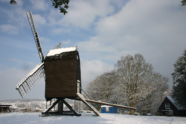
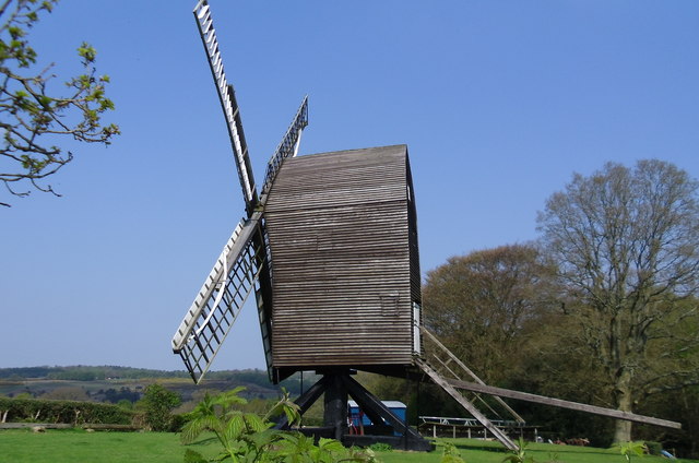
Nutley Windmill

Nutley Windmill is a grade II* listed open trestle post mill at Nutley, East Sussex, England which has been restored to working order. == History == Nutley...

Temple Grove School

Temple Grove School was a preparatory school for boys, and after 1984 also for girls, originally at Parsons Green, London, later at East Sheen, London...

Fairwarp

Fairwarp is a small village within the civil parish of Maresfield in the Wealden district of East Sussex, England. Its nearest town is Uckfield, which...

St John the Evangelist Church, Heron's Ghyll

St John's Church or St John the Evangelist Church is a Roman Catholic Parish Church in the Heron's Ghyll settlement of Buxted, East Sussex, England. It...

Heron's Ghyll

Heron's Ghyll is a hamlet in the Wealden district of East Sussex. St John the Evangelist Church is a Catholic church in the village. There is a late 19th...

Related Videos

DofE bronze expedition 2023

hope you enjoy guys - ps i got bored at the end so its very blunt.

A trip to the Hundred Acre Wood (Ashdown Forest) and Pooh Corner | Hayley Warren

My birthday trip to Pooh Corner and the Hundred Acre Wood to play Poohsticks.

Nearby Amenities

Located within 500m of 51.040963,0.094418614
Kerb: no
Lat/Long: 51.0402575/0.096512
Barrier: cattle_grid
Lat/Long: 51.0396782/0.0953534
Camp Hill
Natural: peak
Source: npe
Lat/Long: 51.0413404/0.0955281
Barrier: stile
Lat/Long: 51.0396854/0.0986664
Barrier: stile
Lat/Long: 51.040182/0.096624
Bench
Backrest: yes
Lat/Long: 51.041332/0.0940375
Bench
Backrest: yes
Lat/Long: 51.0415184/0.0940945
Bench
Backrest: yes
Lat/Long: 51.0414954/0.094619
Bench
Backrest: yes
Lat/Long: 51.0415521/0.0945785
Post Box
Operator: Royal Mail
Post Box Type: lamp
Ref: TN22 49D
Royal Cypher: EIIR
Royal Cypher Wikidata: Q33102113
Lat/Long: 51.0381763/0.0939517
Tourism: viewpoint
Lat/Long: 51.0419925/0.0929711
The data included in this document is from www.openstreetmap.org. The data is made available under ODbL.

Have you been to Camp Hill?

Leave your review of Camp Hill below (or comments, questions and feedback).