Sparrow Wood
Wood, Forest in Kent
England
Sparrow Wood
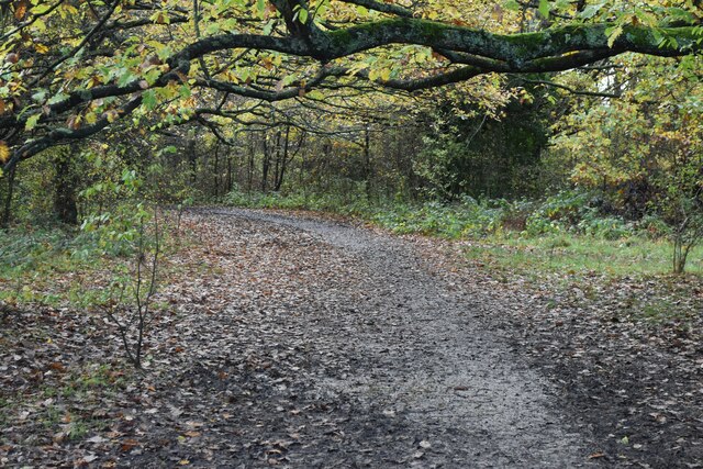
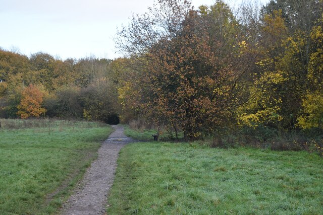
Sparrow Wood is a picturesque forest located in the county of Kent, England. Covering an area of approximately 100 hectares, this woodland is known for its diverse flora and fauna, making it a popular destination for nature enthusiasts and hikers alike.
The woodland is primarily composed of oak, beech, and birch trees, creating a dense canopy that provides shade and shelter for a variety of wildlife. The forest floor is adorned with a rich carpet of bluebells, primroses, and ferns, adding to the enchanting atmosphere of the wood.
Sparrow Wood is also home to a wide range of animal species. Visitors may encounter deer, foxes, badgers, and a multitude of bird species, including woodpeckers, nightingales, and owls. The forest provides an important habitat for these creatures, offering food and protection throughout the year.
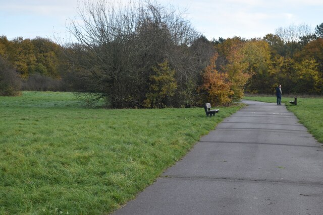
For those seeking outdoor activities, Sparrow Wood offers several well-maintained trails and footpaths that wind through the forest. These trails cater to varying degrees of difficulty, allowing both novice and experienced hikers to explore the woodland at their own pace. Along the way, visitors can enjoy breathtaking views of the surrounding countryside and may stumble upon hidden streams and ponds.
Sparrow Wood is open to the public year-round and provides a serene and peaceful retreat from the hustle and bustle of everyday life. Whether for a leisurely stroll, a bird-watching expedition, or a family picnic, this enchanting woodland offers something for everyone to enjoy.
If you have any feedback on the listing, please let us know in the comments section below.
Sparrow Wood Images
Images are sourced within 2km of 51.381316/0.065255069 or Grid Reference TQ4366. Thanks to Geograph Open Source API. All images are credited.

Sparrow Wood is located at Grid Ref: TQ4366 (Lat: 51.381316, Lng: 0.065255069)
Unitary Authority: Bromley
Police Authority: Metropolitan
What 3 Words
///chill.hills.basin. Near Orpington, London
Nearby Locations
Related Wikis

Crofton Wood
Crofton Wood or Crofton Woods is a Site of Special Scientific Interest and Site of Metropolitan Importance for Nature Conservation in Crofton in the London...

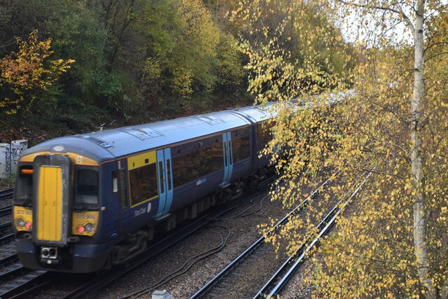
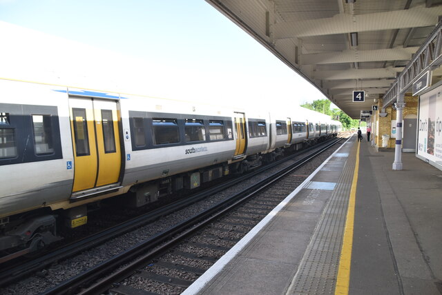
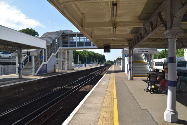
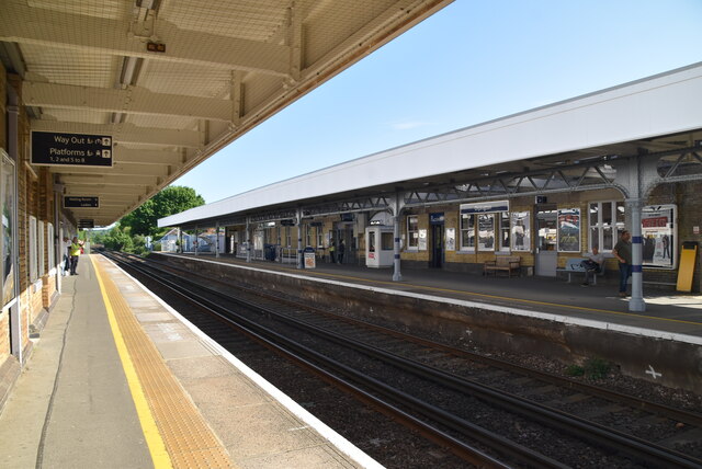
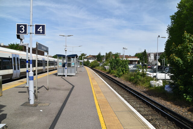
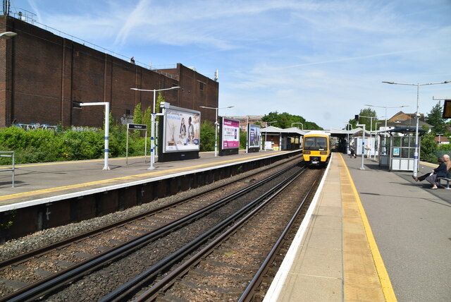
Petts Wood railway station
Petts Wood railway station is on the South Eastern Main Line, serving Petts Wood in the London Borough of Bromley, south-eastern Greater London. It is...
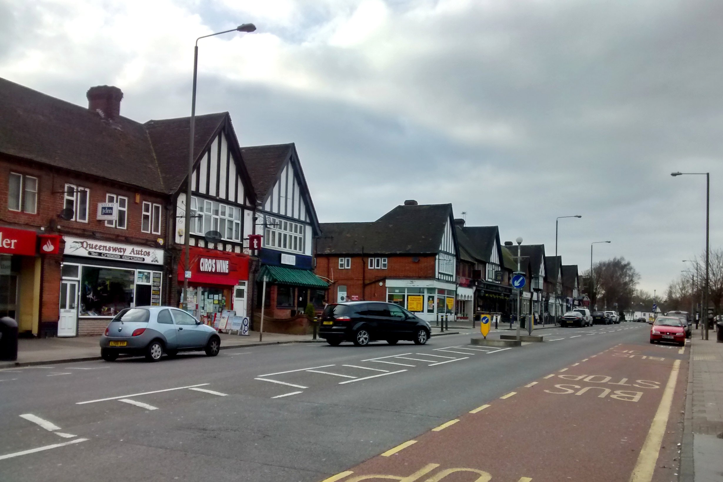
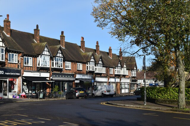
Petts Wood
Petts Wood is a town in south-east London, England, previously located in the historic county of Kent. It lies south of Chislehurst, west of St Paul's...
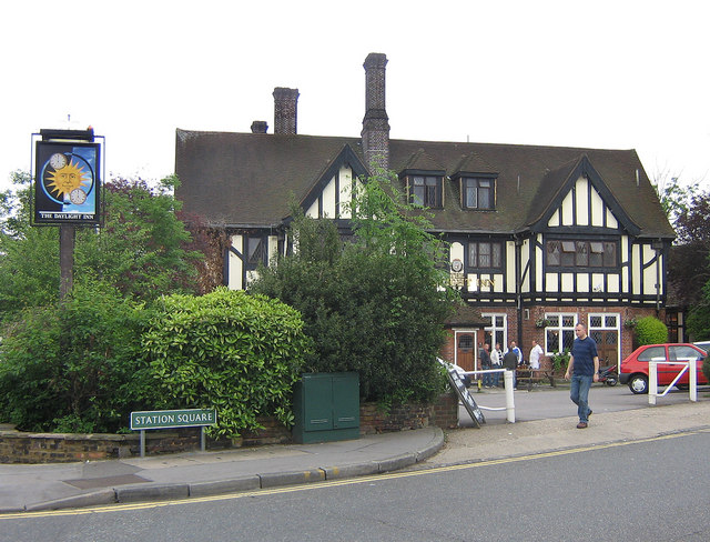
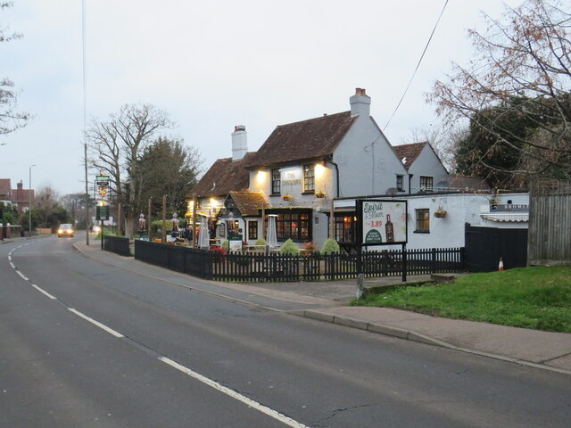
The Daylight Inn
The Daylight Inn is a Grade II listed public house at Station Square, Petts Wood, Orpington, in the London Borough of Bromley. It was built in 1935 for...
Nearby Amenities
Located within 500m of 51.381316,0.065255069Have you been to Sparrow Wood?
Leave your review of Sparrow Wood below (or comments, questions and feedback).