Sparrow Common
Wood, Forest in Kent
England
Sparrow Common
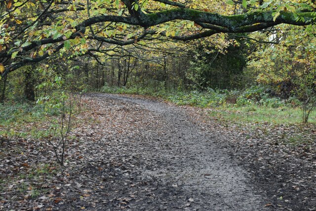
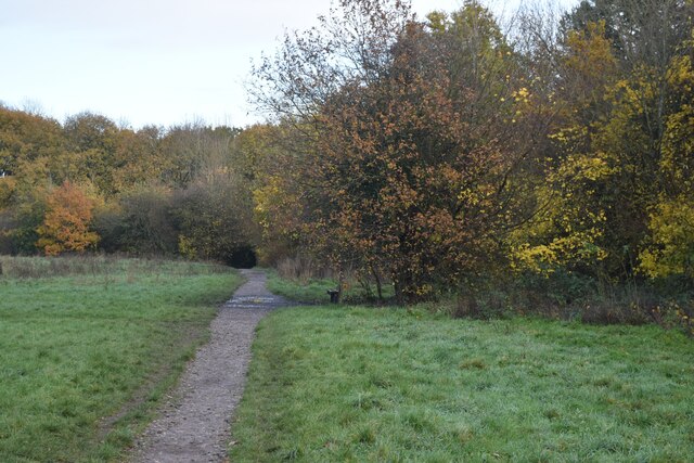
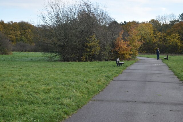
Sparrow Common, located in the county of Kent, England, is a picturesque woodland area known for its natural beauty and diverse ecosystem. Covering an approximate area of 200 acres, the common is situated near the village of Wood and is surrounded by dense forests, making it a popular destination for nature enthusiasts and hikers.
The woodlands of Sparrow Common are predominantly composed of native tree species, such as oak, beech, and ash, providing a rich habitat for a wide range of wildlife. Throughout the year, visitors can expect to observe various bird species, including sparrows, robins, and woodpeckers, which contribute to the area's tranquil ambiance with their melodious songs.
The forest floor of Sparrow Common is adorned with a vibrant tapestry of wildflowers and ferns, creating a visually captivating landscape. From delicate bluebells in the spring to vibrant foxgloves in the summer, the area boasts an ever-changing display of colors that attracts photography enthusiasts and nature lovers alike.
Nature trails crisscross the woodland, offering visitors the opportunity to explore the area's diverse flora and fauna. The trails are well-maintained and provide a peaceful escape from the hustle and bustle of everyday life. Additionally, Sparrow Common is equipped with picnic areas and benches, allowing visitors to relax and immerse themselves in the serene surroundings.
As an important green space in the region, Sparrow Common is subject to conservation efforts to protect its unique biodiversity. The local community actively participates in initiatives aimed at preserving the natural heritage of the common, ensuring that future generations can continue to enjoy its beauty and tranquility.
If you have any feedback on the listing, please let us know in the comments section below.
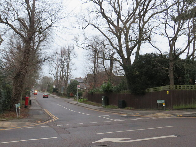
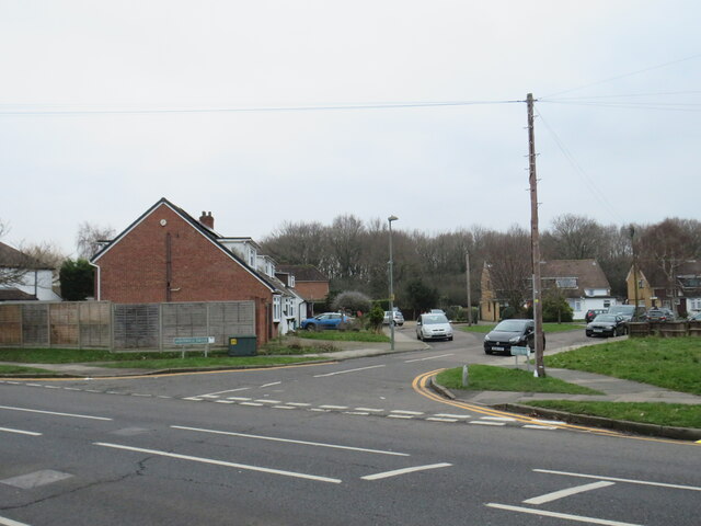
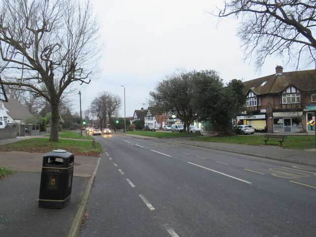
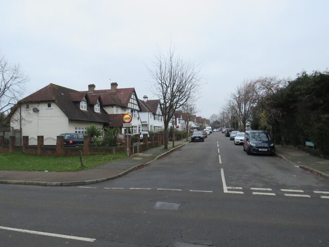
Sparrow Common Images
Images are sourced within 2km of 51.37985/0.065260929 or Grid Reference TQ4366. Thanks to Geograph Open Source API. All images are credited.


Sparrow Common is located at Grid Ref: TQ4366 (Lat: 51.37985, Lng: 0.065260929)
Unitary Authority: Bromley
Police Authority: Metropolitan
What 3 Words
///lower.issue.trade. Near Farnborough, London
Nearby Locations
Related Wikis

Crofton Wood
Crofton Wood or Crofton Woods is a Site of Special Scientific Interest and Site of Metropolitan Importance for Nature Conservation in Crofton in the London...
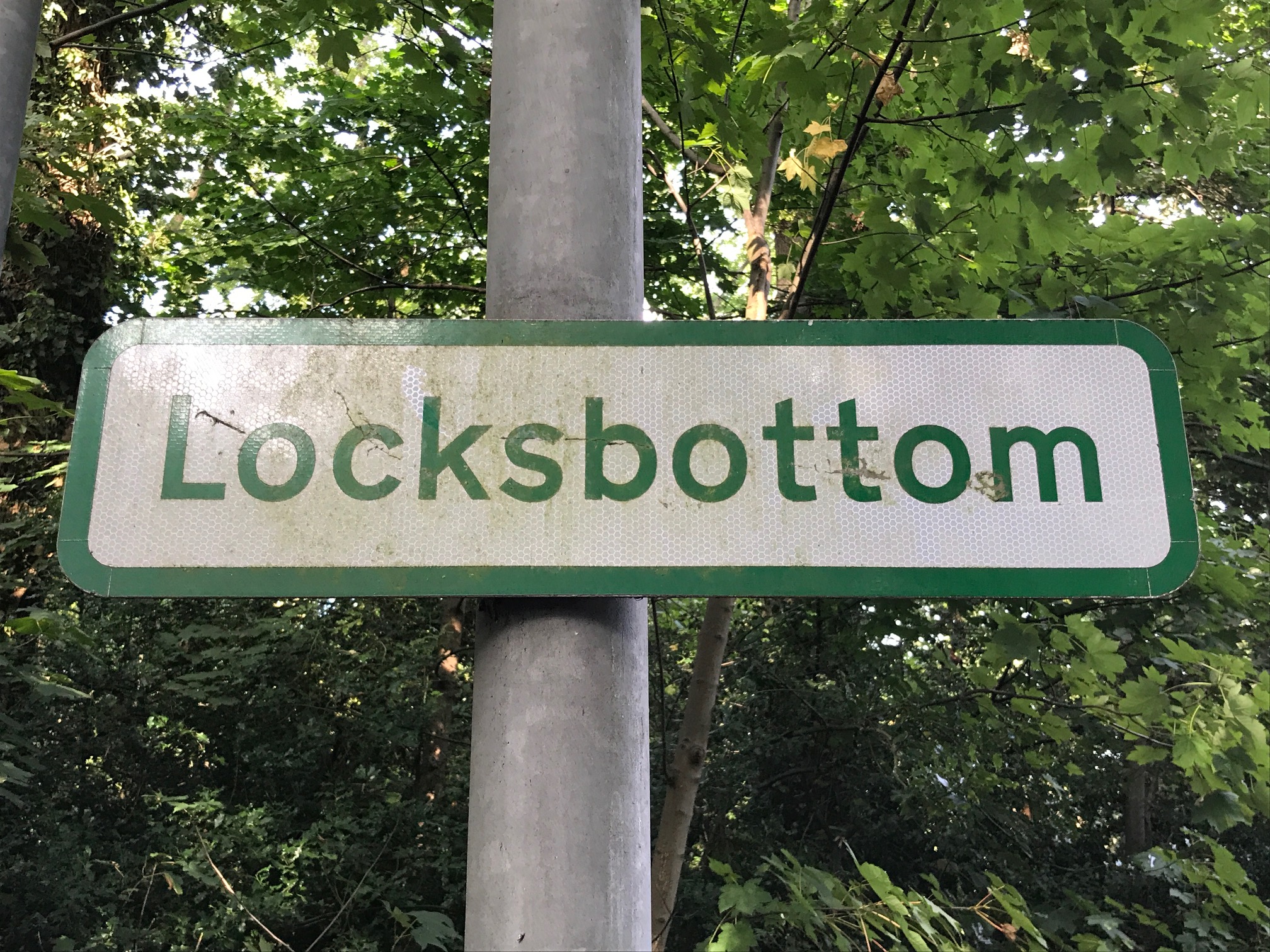
Locksbottom
Locksbottom is a suburb of south-east London within the London Borough of Bromley, Greater London. Prior to 1965 it was within the historic county of Kent...

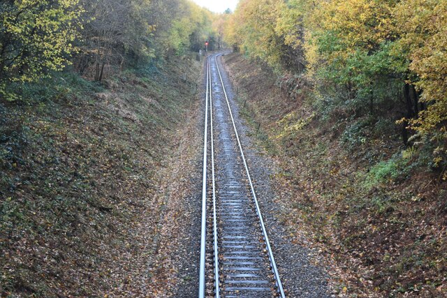
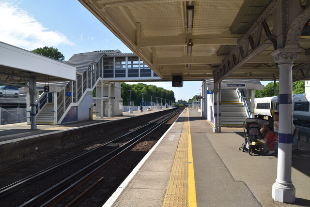
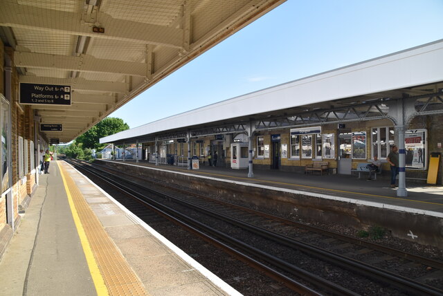
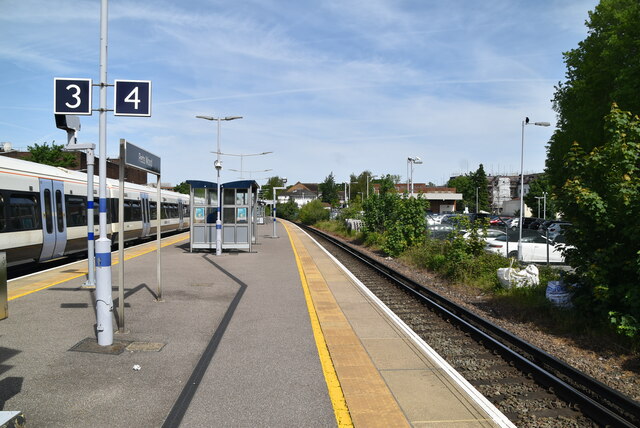
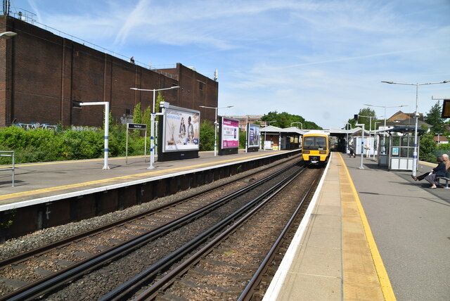
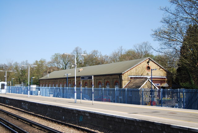
Petts Wood railway station
Petts Wood railway station is on the South Eastern Main Line, serving Petts Wood in the London Borough of Bromley, south-eastern Greater London. It is...
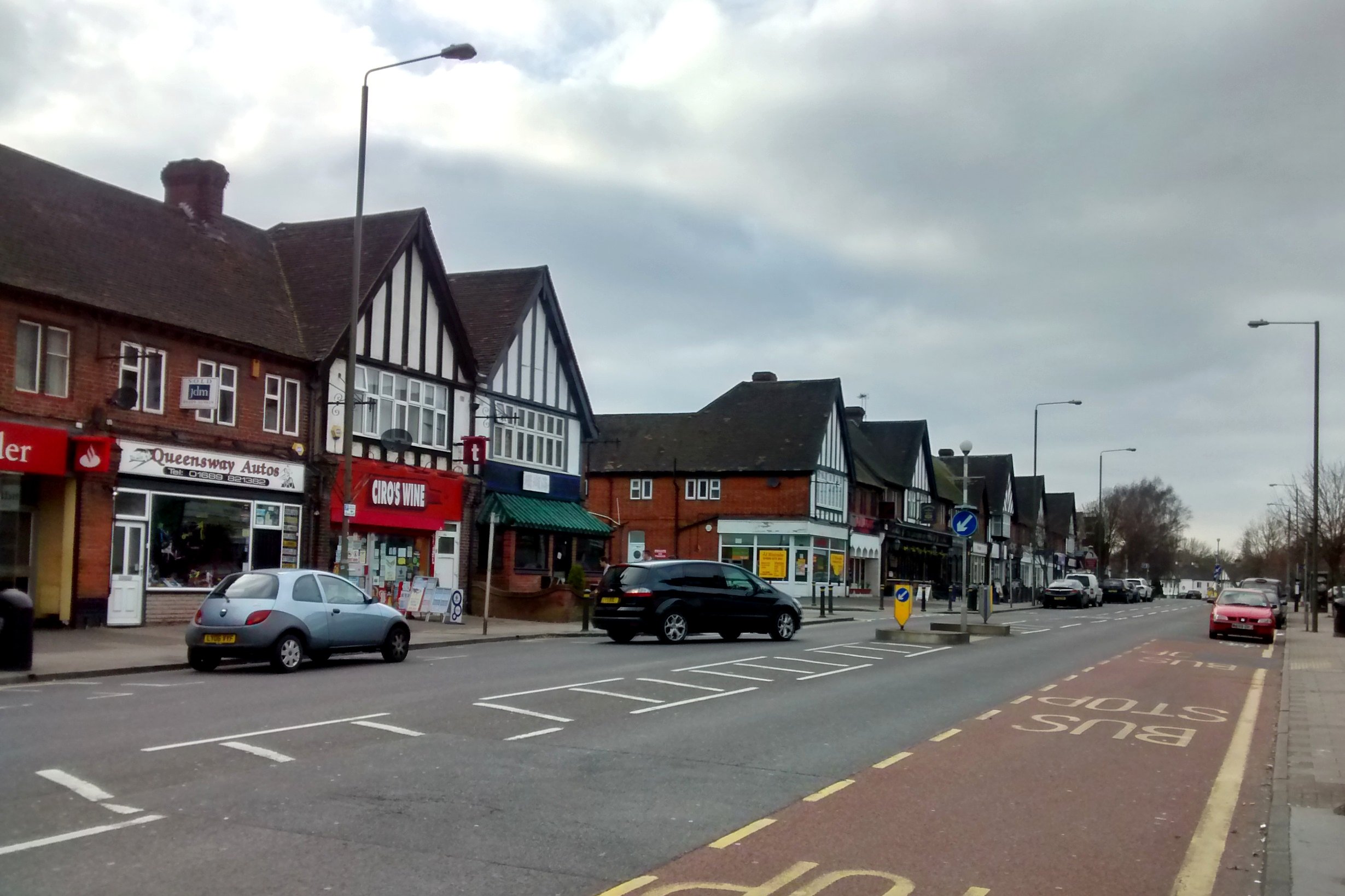
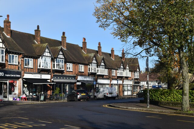
Petts Wood
Petts Wood is a town in south-east London, England, previously located in the historic county of Kent. It lies south of Chislehurst, west of St Paul's...
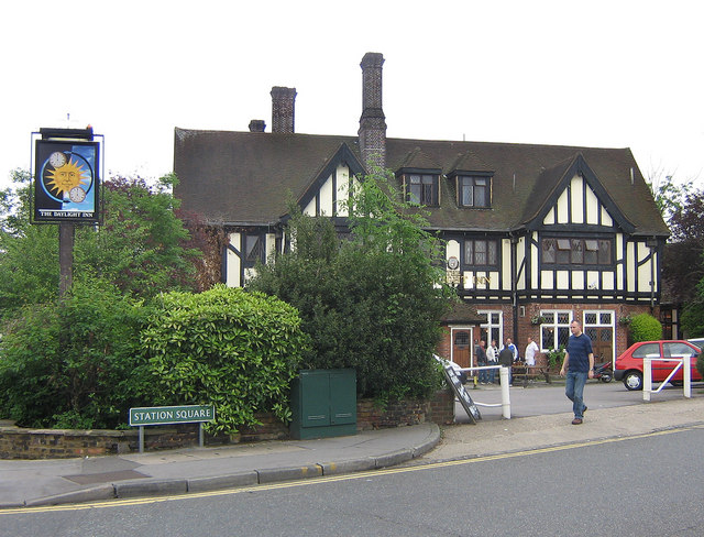
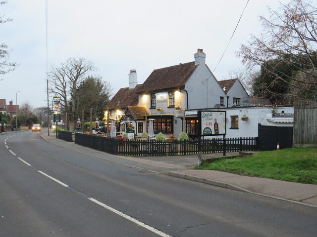
The Daylight Inn
The Daylight Inn is a Grade II listed public house at Station Square, Petts Wood, Orpington, in the London Borough of Bromley. It was built in 1935 for...

Jubilee Country Park
Jubilee Country Park is a 62-acre (25 ha) public park in Petts Wood in the London Borough of Bromley. It is a Local Nature Reserve and a Site of Metropolitan...

Bishop Justus Church of England School
Bishop Justus Church of England School is a mixed secondary school and sixth form in the Bromley area of the London Borough of Bromley, England. The school...
Orpington engine shed
The former Orpington engine shed is located in Orpington, Greater London, England. It is situated on the eastern side of the South East Main Line and to...
Nearby Amenities
Located within 500m of 51.37985,0.065260929Have you been to Sparrow Common?
Leave your review of Sparrow Common below (or comments, questions and feedback).