Crofton Heath
Wood, Forest in Kent
England
Crofton Heath
Crofton Heath, located in the county of Kent in southeastern England, is a charming woodland area known for its natural beauty and diverse ecosystem. Situated near the village of Crofton, this tranquil heathland covers an area of approximately 100 hectares.
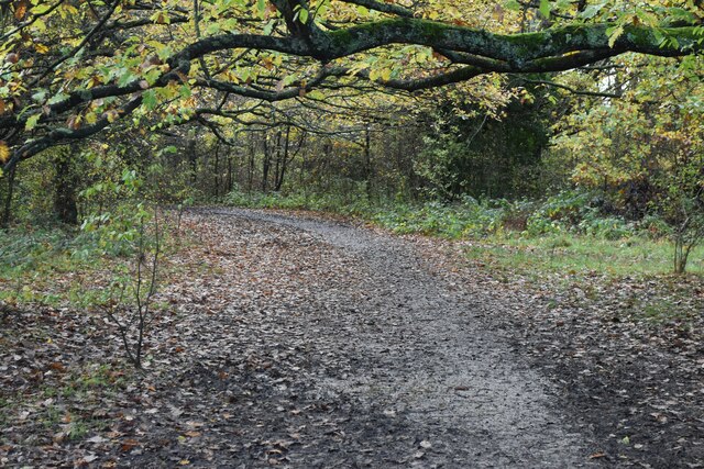
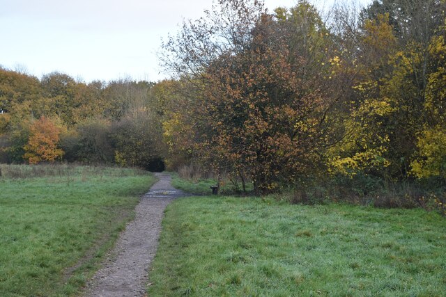
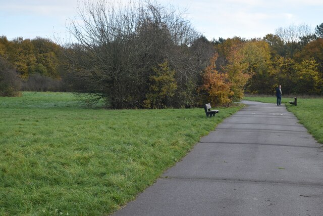
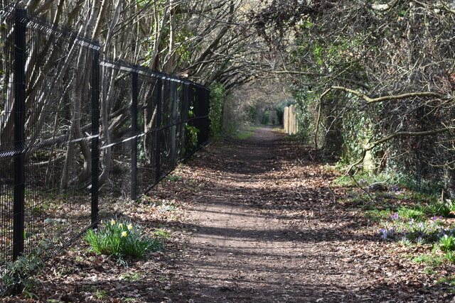
The landscape of Crofton Heath is characterized by a mixture of open heathland, scattered trees, and dense woodland. It is home to a variety of plant species, including heather, gorse, and bracken, which create a vibrant and colorful display throughout the year. The heathland also features several ponds and wetland areas, providing a suitable habitat for various amphibians and water-loving plants.
The forested areas of Crofton Heath are predominantly composed of native broadleaf trees such as oak, birch, and beech. These woodlands support a wide range of wildlife, including deer, foxes, badgers, and a multitude of bird species. It is not uncommon to spot woodpeckers, tits, and finches among the treetops, while kestrels and buzzards can often be seen soaring above.
Crofton Heath is a popular destination for nature enthusiasts, hikers, and birdwatchers, who can enjoy the numerous walking trails and bird hides scattered throughout the area. The heathland is also managed carefully to maintain its delicate balance of ecosystems, ensuring the preservation of its biodiversity.
Overall, Crofton Heath in Kent offers visitors a chance to escape the hustle and bustle of city life and immerse themselves in the peacefulness and natural wonders of a traditional English woodland and heath.
If you have any feedback on the listing, please let us know in the comments section below.
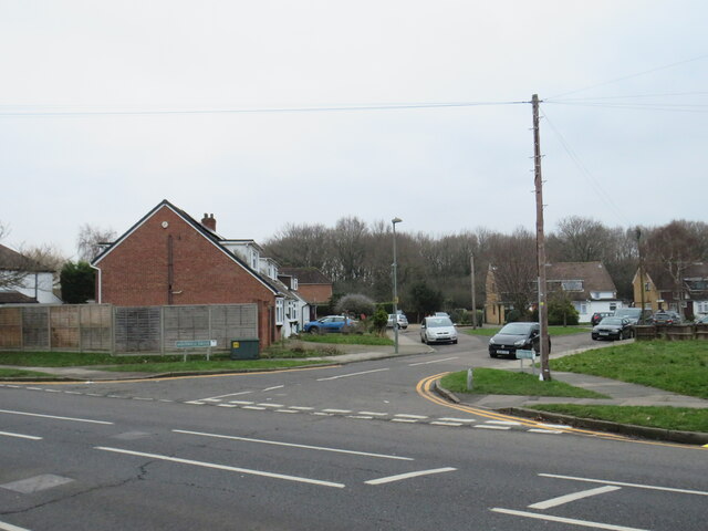
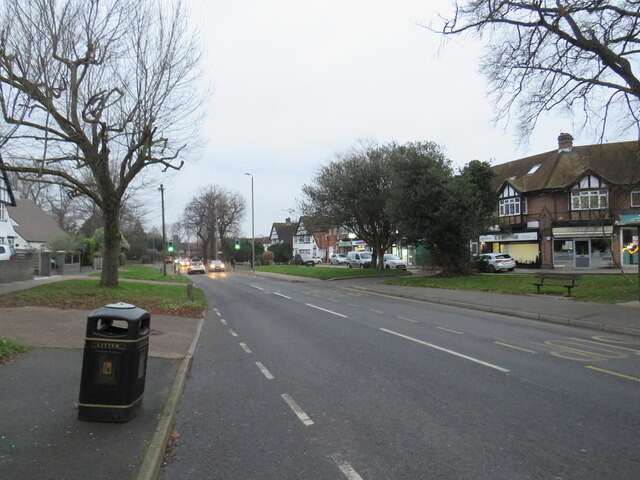
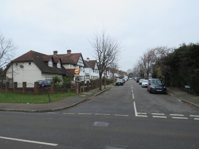
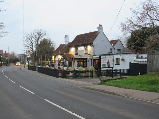
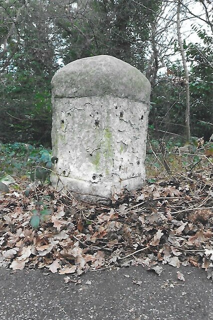
Crofton Heath Images
Images are sourced within 2km of 51.377224/0.061191067 or Grid Reference TQ4366. Thanks to Geograph Open Source API. All images are credited.


Crofton Heath is located at Grid Ref: TQ4366 (Lat: 51.377224, Lng: 0.061191067)
Unitary Authority: Bromley
Police Authority: Metropolitan
What 3 Words
///rather.stops.apples. Near Farnborough, London
Nearby Locations
Related Wikis

Crofton Wood
Crofton Wood or Crofton Woods is a Site of Special Scientific Interest and Site of Metropolitan Importance for Nature Conservation in Crofton in the London...
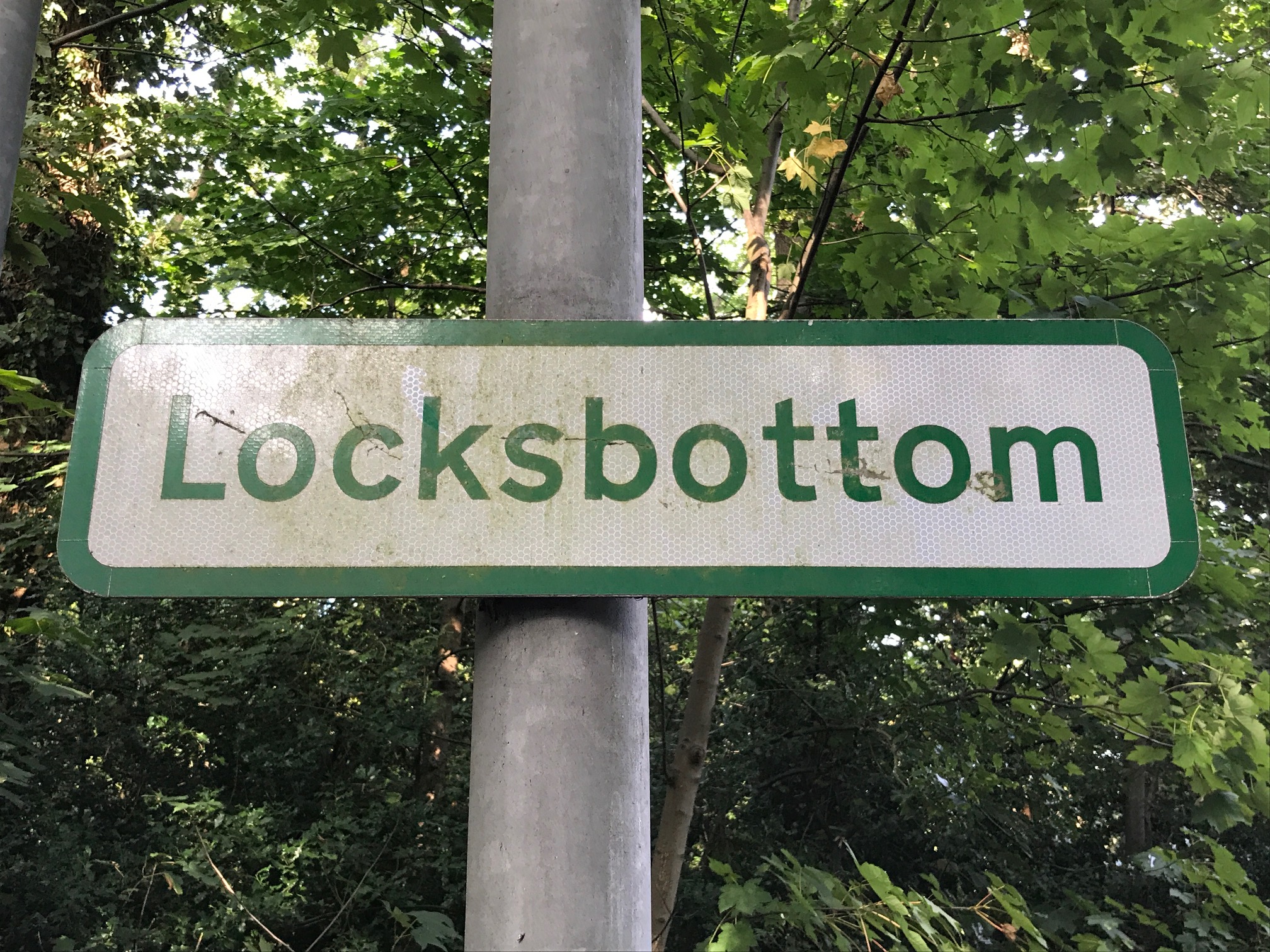
Locksbottom
Locksbottom is a suburb of south-east London within the London Borough of Bromley, Greater London. Prior to 1965 it was within the historic county of Kent...

Bishop Justus Church of England School
Bishop Justus Church of England School is a mixed secondary school and sixth form in the Bromley area of the London Borough of Bromley, England. The school...
Darrick Wood School
Darrick Wood School is a mixed secondary school in Orpington, London Borough of Bromley, United Kingdom with a current roll of 1785 pupils. It was first...
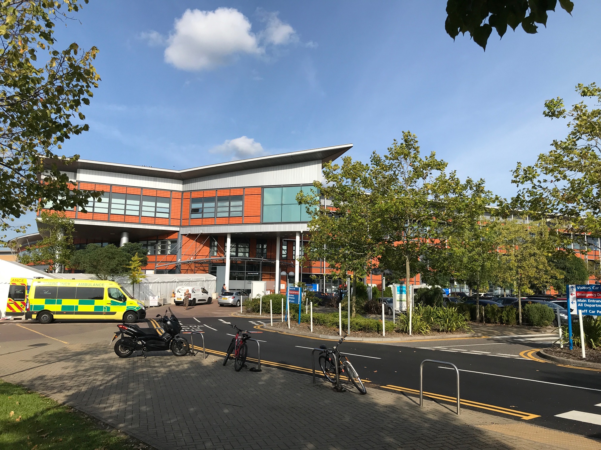
Princess Royal University Hospital
Princess Royal University Hospital or PRUH is a large acute district general hospital situated in Locksbottom, near Farnborough, in the London Borough...

2008 Biggin Hill Cessna Citation crash
On 30 March 2008, a Cessna 501 Citation crashed into a house in Farnborough, London (UK), near Biggin Hill Airport, from where the aircraft had taken off...
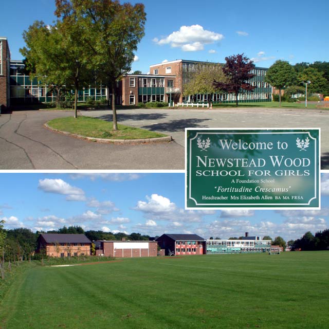
Newstead Wood School
Newstead Wood School is a selective girls' grammar school in Avebury Road, Orpington, south east London, England. == Admissions == The school is a grammar...

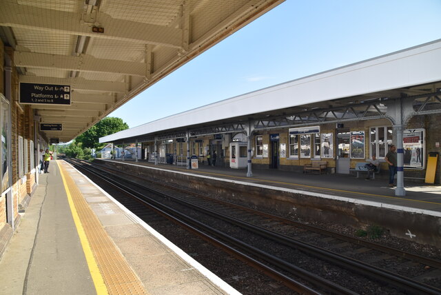
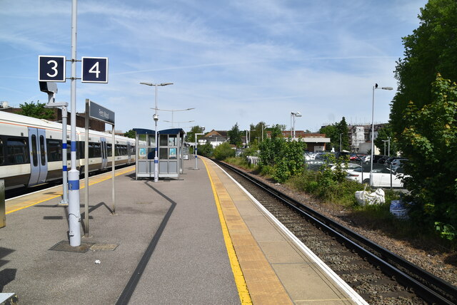
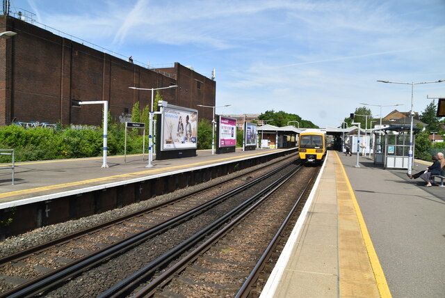
Petts Wood railway station
Petts Wood railway station is on the South Eastern Main Line, serving Petts Wood in the London Borough of Bromley, south-eastern Greater London. It is...
Nearby Amenities
Located within 500m of 51.377224,0.061191067Have you been to Crofton Heath?
Leave your review of Crofton Heath below (or comments, questions and feedback).