Clay Wood
Wood, Forest in Kent
England
Clay Wood
Clay Wood, also known as Kent Wood or Forest Wood, is a scenic woodland located in the county of Kent, England. Situated near the village of Claygate, this woodland covers an area of approximately 50 acres, making it a significant natural feature in the region.
The woodland is characterized by its diverse range of trees, including oak, beech, and birch, which create a lush and vibrant environment. These trees provide a habitat for various wildlife species, such as birds, squirrels, and rabbits, making it an ideal destination for nature enthusiasts and birdwatchers.
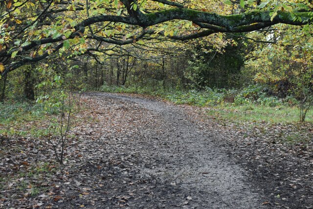
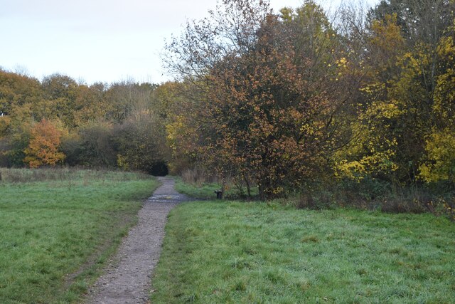
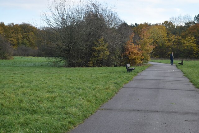
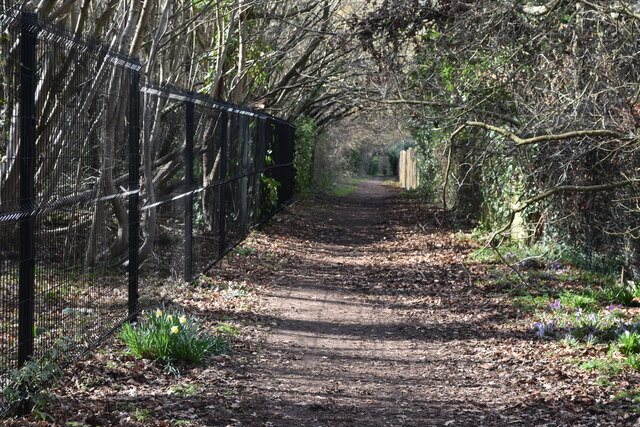
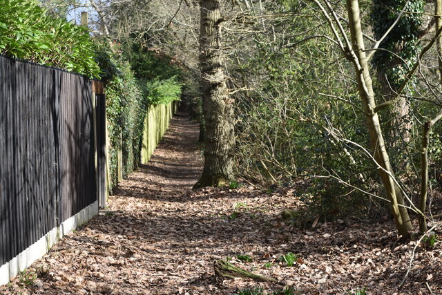
Clay Wood offers a peaceful and tranquil setting, attracting walkers and hikers who enjoy exploring its well-maintained trails. These paths wind through the woodland, offering visitors the opportunity to immerse themselves in the beauty of nature while admiring the stunning views and listening to the soothing sounds of the forest. The woodland also boasts a small stream that adds to its picturesque appeal.
In addition to its natural beauty, Clay Wood offers recreational facilities such as picnic areas, where visitors can relax and enjoy a meal amidst the serene surroundings. The wood is also equipped with benches and information boards, providing visitors with informative insights into the flora, fauna, and history of the area.
Whether it's a leisurely stroll, a picnic with family and friends, or an opportunity to observe the diverse wildlife, Clay Wood, Kent, provides a charming and idyllic escape from the hustle and bustle of everyday life.
If you have any feedback on the listing, please let us know in the comments section below.
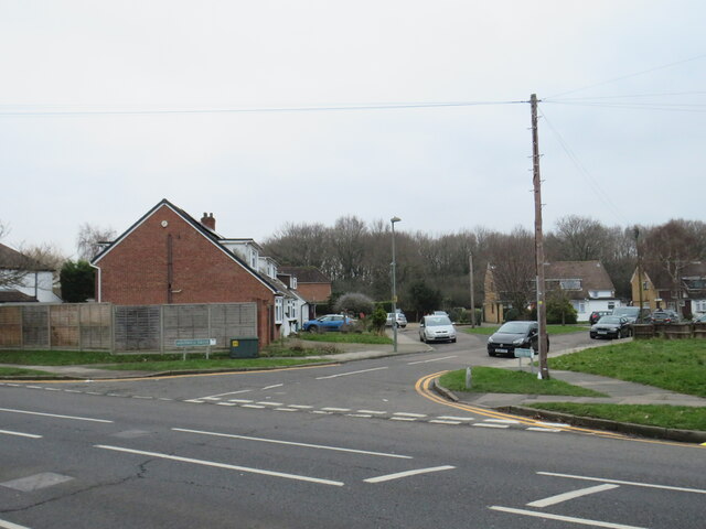
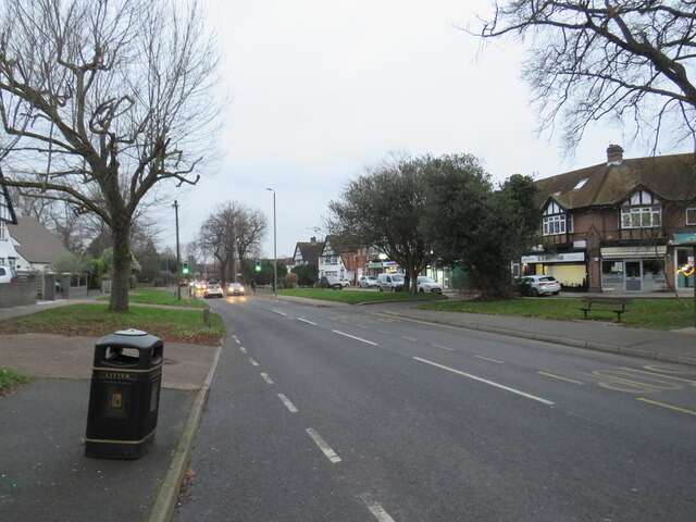
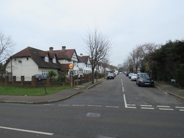
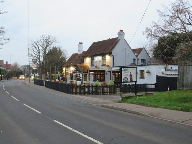
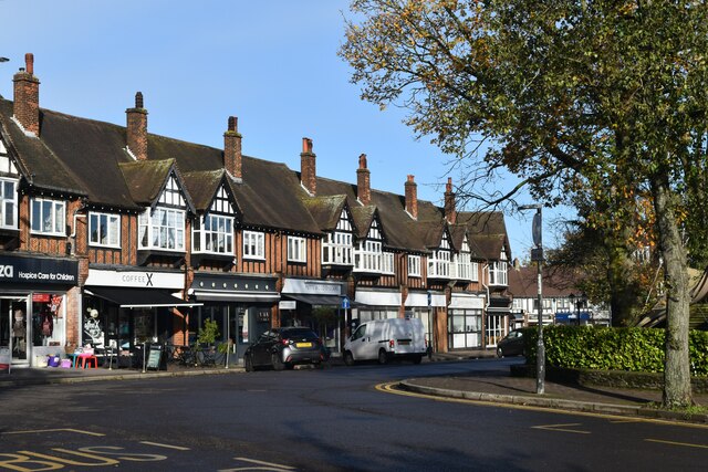
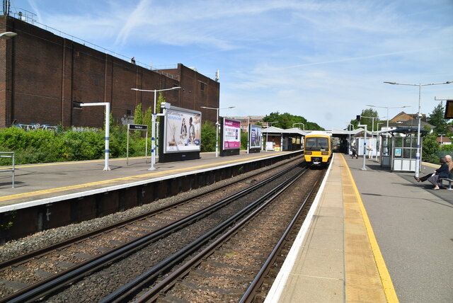
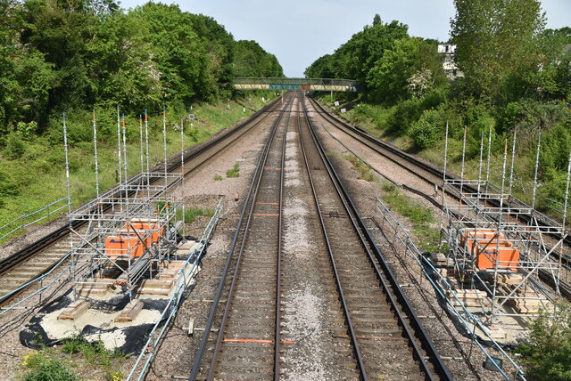
Clay Wood Images
Images are sourced within 2km of 51.375855/0.057738431 or Grid Reference TQ4366. Thanks to Geograph Open Source API. All images are credited.


Clay Wood is located at Grid Ref: TQ4366 (Lat: 51.375855, Lng: 0.057738431)
Unitary Authority: Bromley
Police Authority: Metropolitan
What 3 Words
///paths.closes.crate. Near Farnborough, London
Nearby Locations
Related Wikis

Crofton Wood
Crofton Wood or Crofton Woods is a Site of Special Scientific Interest and Site of Metropolitan Importance for Nature Conservation in Crofton in the London...
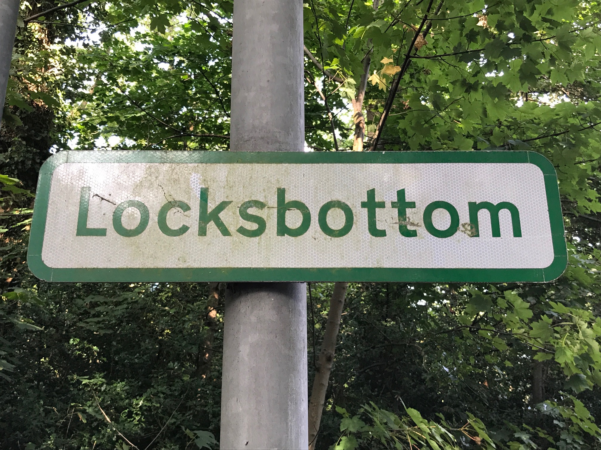
Locksbottom
Locksbottom is a suburb of south-east London within the London Borough of Bromley, Greater London. Prior to 1965 it was within the historic county of Kent...

Bishop Justus Church of England School
Bishop Justus Church of England School is a mixed secondary school and sixth form in the Bromley area of the London Borough of Bromley, England. The school...
Darrick Wood School
Darrick Wood School is a mixed secondary school in Orpington, London Borough of Bromley, United Kingdom with a current roll of 1785 pupils. It was first...

Princess Royal University Hospital
Princess Royal University Hospital or PRUH is a large acute district general hospital situated in Locksbottom, near Farnborough, in the London Borough...

2008 Biggin Hill Cessna Citation crash
On 30 March 2008, a Cessna 501 Citation crashed into a house in Farnborough, London (UK), near Biggin Hill Airport, from where the aircraft had taken off...
Holmesdale F.C.
Holmesdale Football Club is a football club originally based in South Norwood, London, England. Affiliated to the Kent County Football Association, they...
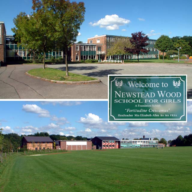
Newstead Wood School
Newstead Wood School is a selective girls' grammar school in Avebury Road, Orpington, south east London, England. == Admissions == The school is a grammar...
Nearby Amenities
Located within 500m of 51.375855,0.057738431Have you been to Clay Wood?
Leave your review of Clay Wood below (or comments, questions and feedback).