Meesdenhall Wood
Wood, Forest in Hertfordshire East Hertfordshire
England
Meesdenhall Wood
Meesdenhall Wood is a picturesque woodland located in Hertfordshire, England. Covering an area of approximately 50 hectares, it is a popular destination for nature enthusiasts and those seeking a tranquil escape from the bustling city life. The wood is situated near the village of Meesden and offers a diverse range of flora and fauna.
Meesdenhall Wood is predominantly composed of deciduous trees, including oak, ash, beech, and birch. These trees create a dense canopy that allows only dappled sunlight to reach the forest floor, creating a serene and shady atmosphere. The wood is also home to a variety of wildflowers, such as bluebells and primroses, which add vibrant splashes of color to the landscape during the spring and summer months.
The wood provides a habitat for numerous animal species, including deer, foxes, badgers, and a variety of bird species. Birdwatchers can spot woodpeckers, owls, and various songbirds throughout the year. The wood is also known for its population of butterflies and other insects, making it an ideal location for nature photography and study.
For visitors, Meesdenhall Wood offers several walking trails and paths, allowing them to explore the wood at their own pace. These trails are well-maintained and marked, ensuring a safe and enjoyable experience for all. Additionally, the wood has picnic areas and benches scattered throughout, providing visitors with the opportunity to relax and enjoy the peaceful surroundings.
Overall, Meesdenhall Wood is a haven of natural beauty and tranquility, offering a delightful escape into the heart of nature for both locals and tourists alike.
If you have any feedback on the listing, please let us know in the comments section below.
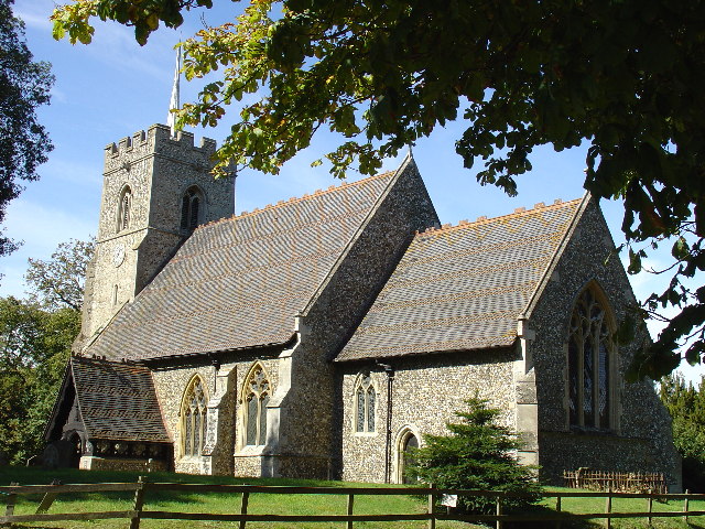
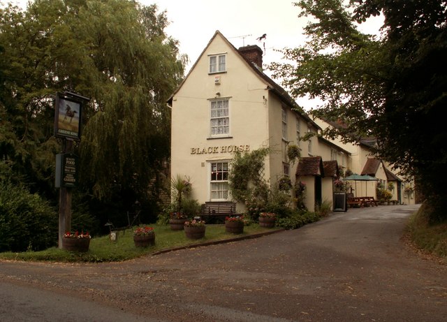
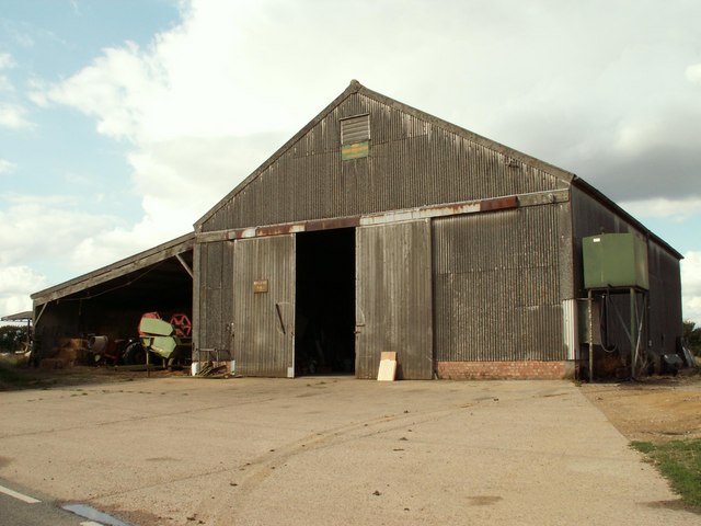
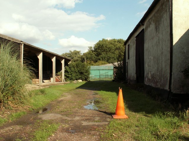
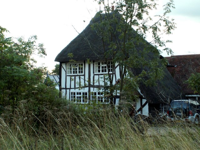
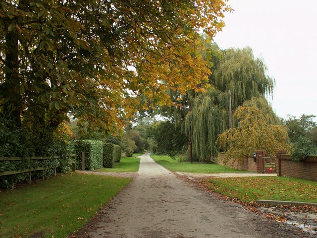
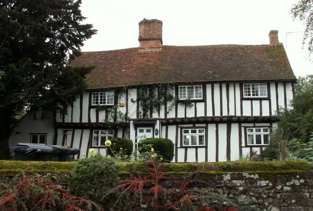
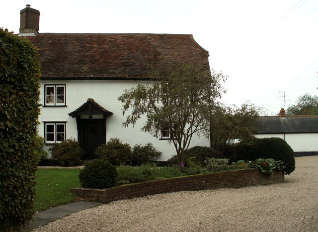
Meesdenhall Wood Images
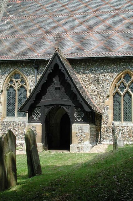
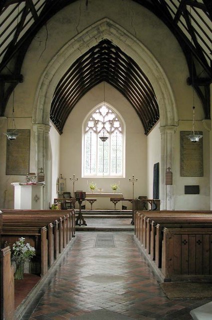
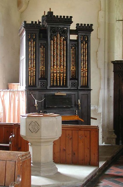
Images are sourced within 2km of 51.969518/0.092220563 or Grid Reference TL4332. Thanks to Geograph Open Source API. All images are credited.


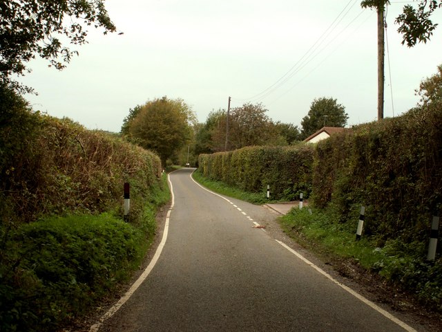
Meesdenhall Wood is located at Grid Ref: TL4332 (Lat: 51.969518, Lng: 0.092220563)
Administrative County: Hertfordshire
District: East Hertfordshire
Police Authority: Hertfordshire
What 3 Words
///tummy.statement.sunshine. Near Buntingford, Hertfordshire
Nearby Locations
Related Wikis

Meesden
Meesden is a village and civil parish of the East Hertfordshire district of Hertfordshire, England. Nearby settlements include Anstey and Brent Pelham...

Brent Pelham Windmill
Brent Pelham Windmill is a Grade II listed smock mill at Brent Pelham, Hertfordshire, England which is derelict. == History == Brent Pelham Mill was built...

Brent Pelham
Brent Pelham is a village and civil parish in the East Hertfordshire district, in the county of Hertfordshire, England, and situated approximately 5 miles...

Langley, Essex
For the historic house in Essex called Langley's, see Great Waltham. Langley is a village and civil parish near Clavering in the English county of Essex...

Clavering Castle
Clavering Castle remains are situated in the small parish village of Clavering in the county of Essex, England, 50m north of the church of St Mary and...

Stocking Pelham
Stocking Pelham is a village and civil parish in the East Hertfordshire district of Hertfordshire, England. It is located on the border with Essex, around...

Anstey, Hertfordshire
Anstey is a village and civil parish in the East Hertfordshire district of Hertfordshire, England, about 15 miles (24 km) northeast of Stevenage. According...

Anstey Castle
Anstey Castle was in the village of Anstey, Hertfordshire. It was a 12th-century stone motte and bailey fortress that, according to tradition, was founded...
Nearby Amenities
Located within 500m of 51.969518,0.092220563Have you been to Meesdenhall Wood?
Leave your review of Meesdenhall Wood below (or comments, questions and feedback).