Pond Field Plantation
Wood, Forest in Essex Epping Forest
England
Pond Field Plantation
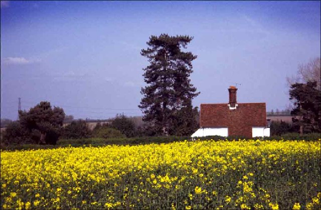
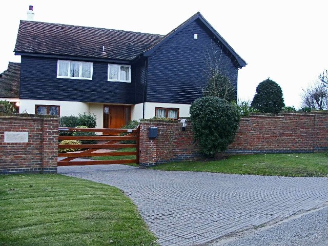
Pond Field Plantation is a charming rural estate located in Essex, England. Situated in the midst of an enchanting wood and forest area, this plantation offers a tranquil and picturesque setting for those seeking a peaceful escape from the bustling city life.
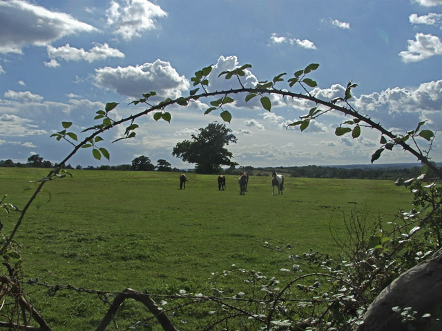
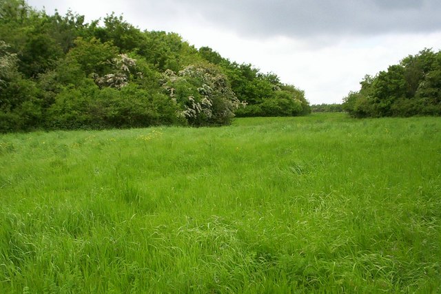
Covering a vast expanse of land, Pond Field Plantation is home to an array of diverse plant and animal species, making it a haven for nature enthusiasts and wildlife lovers. The plantation's wood and forest provide a natural habitat for several indigenous species, including deer, foxes, birds, and various small mammals.
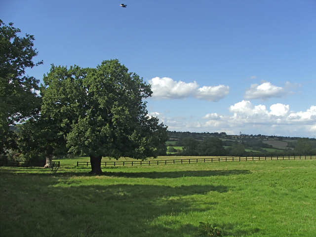
The centerpiece of Pond Field Plantation is a serene and idyllic pond, which serves as a focal point for the estate. Surrounded by lush vegetation and tall trees, the pond adds to the plantation's natural beauty and serves as a stunning backdrop for scenic walks and picnics.
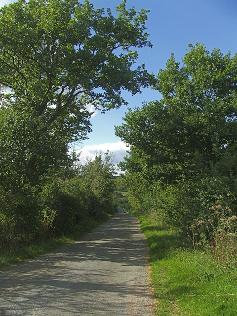
Visitors to Pond Field Plantation can enjoy a range of outdoor activities, such as hiking, birdwatching, and photography. The estate's well-maintained trails offer opportunities for exploration and discovery, allowing visitors to immerse themselves in the beauty of nature.
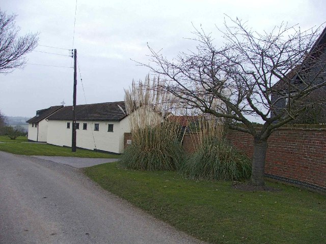
For those interested in history, Pond Field Plantation also holds historical significance. The estate has been in existence for several centuries, and remnants of its rich past can be found throughout the grounds. From ancient stone walls to old farm buildings, the plantation provides a glimpse into the region's agricultural heritage.
Overall, Pond Field Plantation in Essex is a captivating destination that offers a perfect blend of natural beauty, wildlife, and historical charm. Whether seeking tranquility or adventure, visitors are sure to find solace in the serene surroundings of this remarkable estate.
If you have any feedback on the listing, please let us know in the comments section below.
Pond Field Plantation Images
Images are sourced within 2km of 51.703097/0.079818937 or Grid Reference TL4302. Thanks to Geograph Open Source API. All images are credited.

Pond Field Plantation is located at Grid Ref: TL4302 (Lat: 51.703097, Lng: 0.079818937)
Administrative County: Essex
District: Epping Forest
Police Authority: Essex
What 3 Words
///ahead.legs.useful. Near Epping, Essex
Nearby Locations
Related Wikis
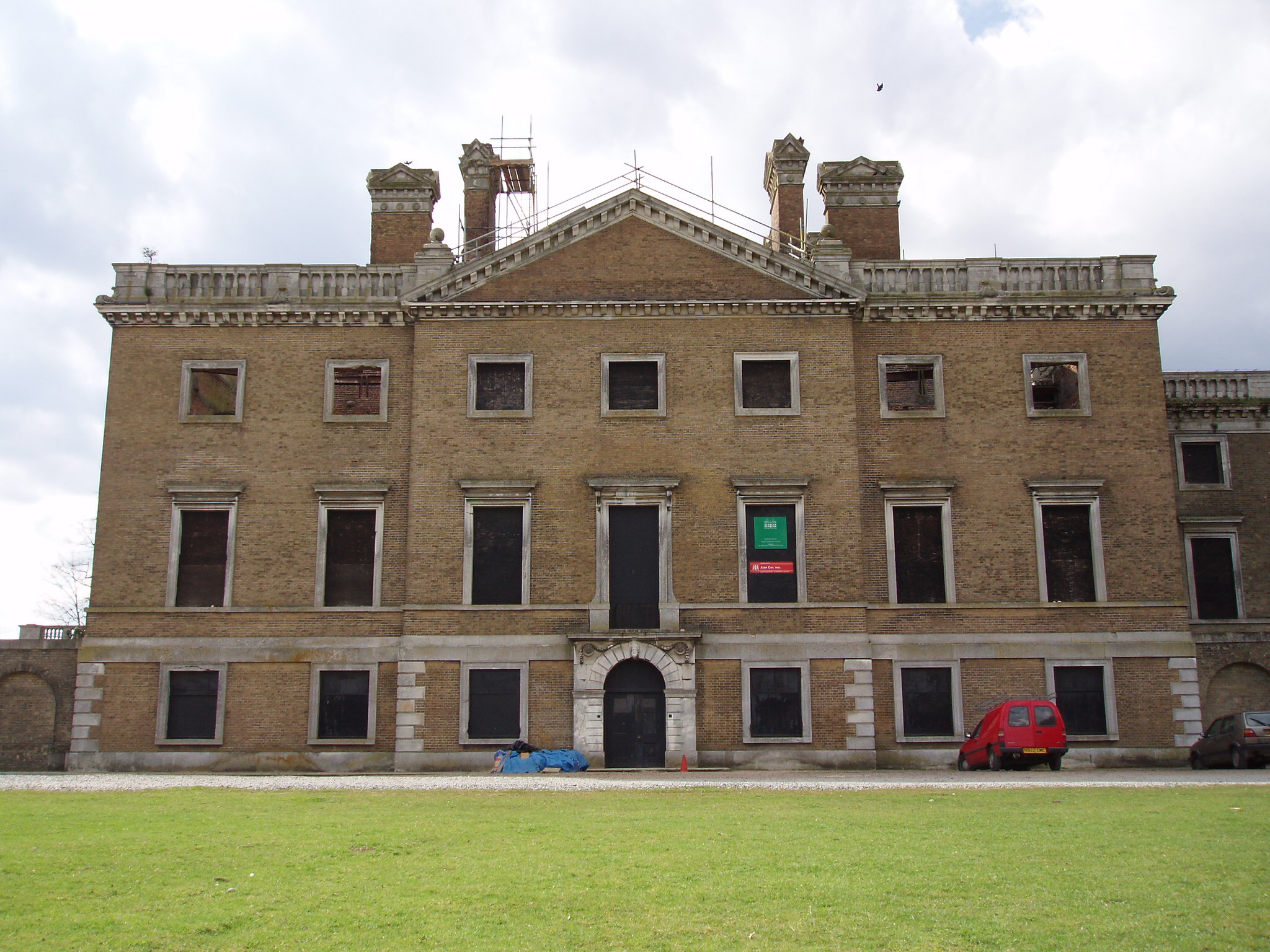
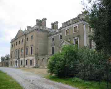
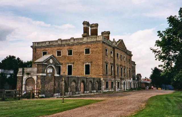
Copped Hall
Copped Hall, also known as Copt Hall or Copthall, is a mid-18th-century English country house close to Waltham Abbey, Essex, which has been undergoing...

Epping St John's School
Epping St John's School, formerly known as St John's Church of England Voluntary Controlled School, is a school in Epping, Essex.Epping St. John's was...

Epping Rural District
Epping was, from 1894 to 1955, a rural district in the administrative county of Essex, England. == Formation and boundary changes == The district was formed...

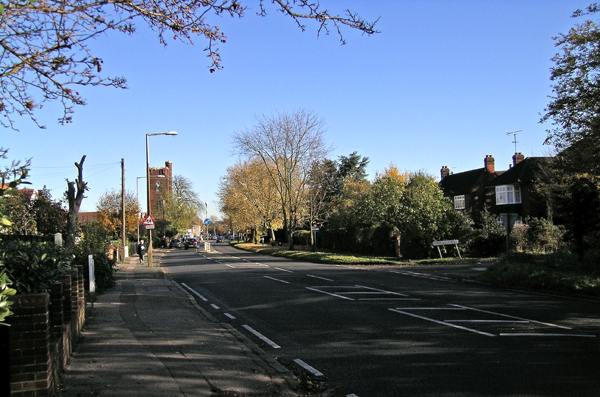
Epping, Essex
Epping is a market town and civil parish in the Epping Forest District of Essex, England. Part of the metropolitan and urban area of London, it is 17 miles...
Epping Upland
Epping Upland is a village and civil parish in the Epping Forest district of Essex, England.The village is situated on the B181 road, approximately 3 miles...

Ambresbury Banks
Ambresbury Banks is the name given to the remains of an Iron Age hill fort in Epping Forest, Essex, England. == Description == The fort encircles an area...

Epping tube station
Epping is a London Underground station in the market town of Epping in Essex, England. The station serves as the north-eastern terminus of the Central...

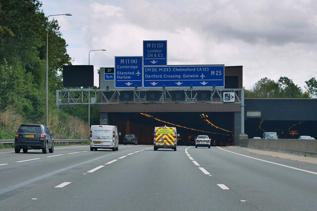
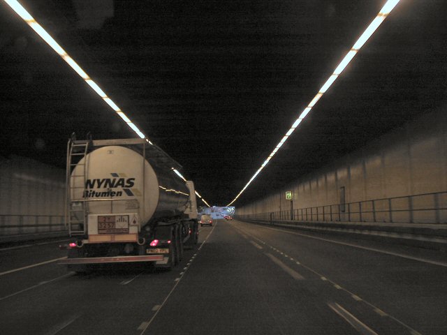
Bell Common
Bell Common is a settlement in Essex, England and is south of the town of Epping. == Tunnel == The Bell Common Tunnel is a covered section of the M25 motorway...
Nearby Amenities
Located within 500m of 51.703097,0.079818937Have you been to Pond Field Plantation?
Leave your review of Pond Field Plantation below (or comments, questions and feedback).