Old Plantation
Wood, Forest in Surrey Tandridge
England
Old Plantation
Old Plantation is a small rural area located in the county of Surrey, England. Nestled within the beautiful landscapes of wood and forest, this idyllic village offers a peaceful and serene environment for its residents and visitors alike.
The area is characterized by its rich history, dating back to the medieval times. It is believed that the village was once a part of a larger estate, with evidence of its past still visible through the remnants of old buildings and structures. The name "Old Plantation" is said to have originated from the agricultural activities that took place here in the past, particularly the cultivation of crops and plantation of trees.
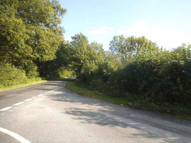
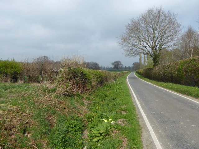
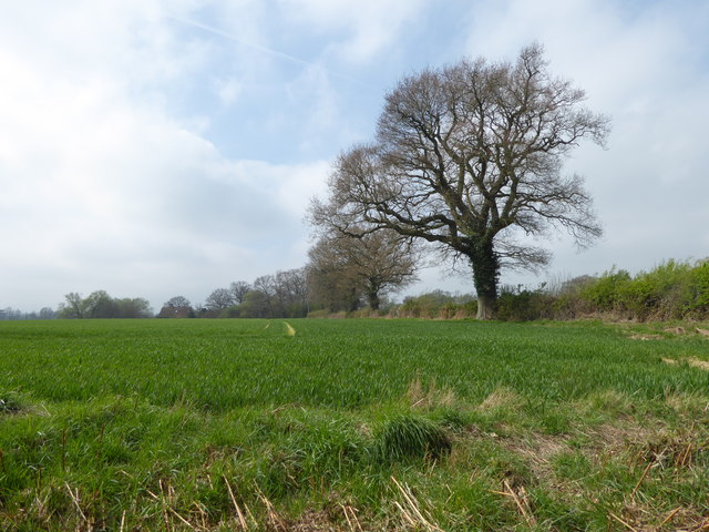
Nature enthusiasts are drawn to Old Plantation for its picturesque surroundings. The village is surrounded by lush woodlands, where a variety of tree species can be found, including oak, beech, and birch. These forests provide ample opportunities for hiking, bird-watching, and exploring the local flora and fauna.
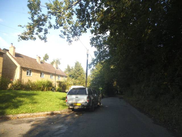
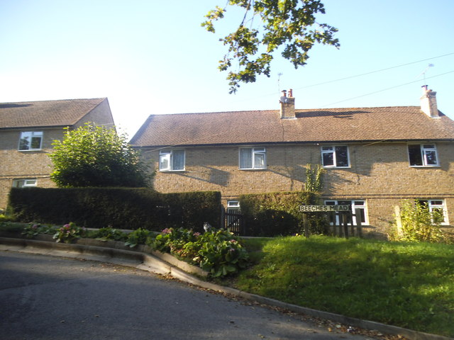
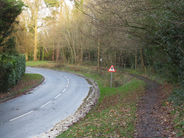
Despite its rural setting, Old Plantation is well-connected to neighboring towns and cities. The village is situated near major transportation routes, making it easily accessible for commuters and tourists. Nearby amenities include shops, schools, and community facilities, ensuring that residents have access to essential services.
Old Plantation, Surrey, with its charming countryside and natural beauty, offers a peaceful retreat for those seeking solace away from the hustle and bustle of city life. Its rich history, coupled with its idyllic setting, makes it a truly unique destination in the heart of England.
If you have any feedback on the listing, please let us know in the comments section below.
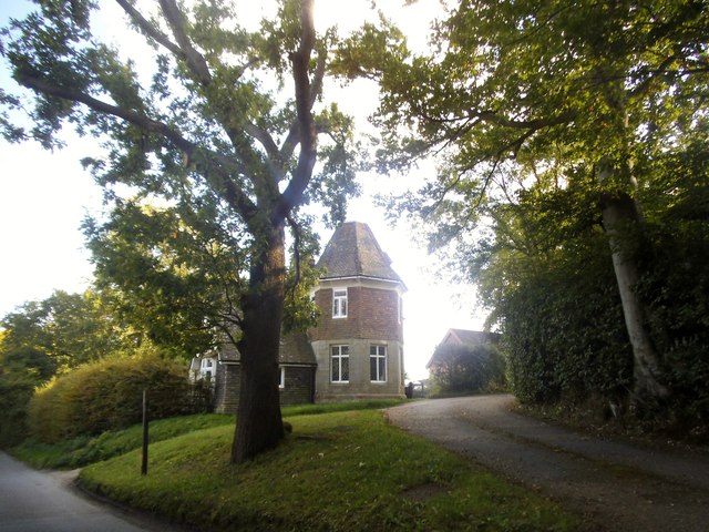
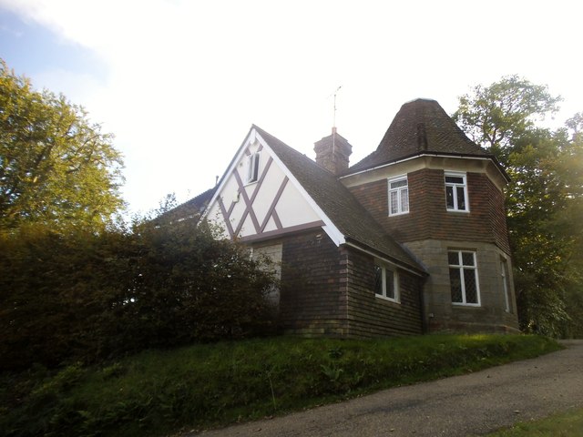
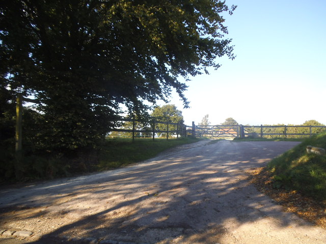
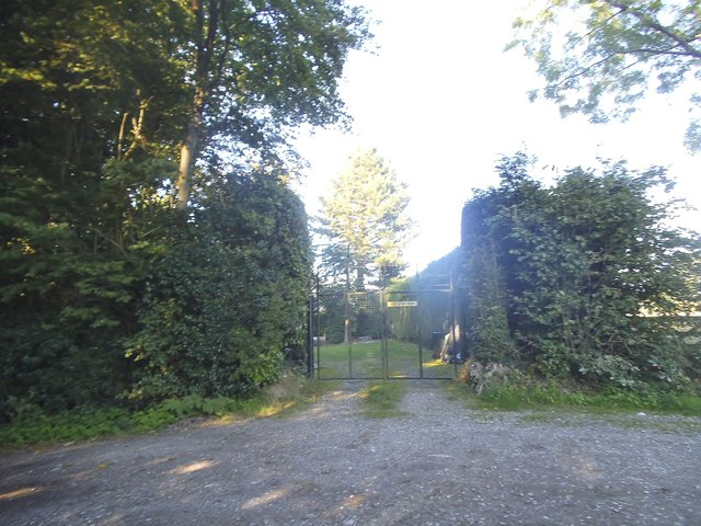
Old Plantation Images
Images are sourced within 2km of 51.161808/0.036312954 or Grid Reference TQ4242. Thanks to Geograph Open Source API. All images are credited.


Old Plantation is located at Grid Ref: TQ4242 (Lat: 51.161808, Lng: 0.036312954)
Administrative County: Surrey
District: Tandridge
Police Authority: Surrey
What 3 Words
///brief.launch.polite. Near Dormansland, Surrey
Nearby Locations
Related Wikis

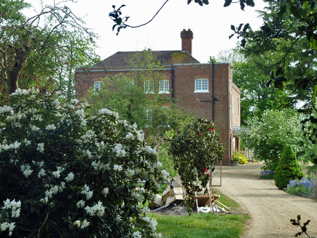
Greathed Manor
Greathed Manor, Dormansland, Surrey, is a Victorian country house. Designed by the architect Robert Kerr in 1862–8, it is a Grade II listed building....
Starborough Castle
Starborough Castle, known historically as Sterborough Castle, is a Neo-Gothic garden house of dressed sandstone near the eastern boundary of Surrey, built...

Dormansland, Surrey
Dormansland is a large village and civil parish with a low population approximately one mile south of Lingfield in Surrey, England. It was founded in the...

Marsh Green, Kent
Marsh Green is a small hamlet in Eden Vale, part of the parish of Edenbridge, England. The hamlet was founded in 1554 under its current name. Marsh Green...

Sundridge with Ide Hill
Sundridge and Ide Hill is a civil parish in the Sevenoaks District of Kent, England. It is located in the Darenth valley and lies between Sevenoaks and...

Lingfield College
Lingfield College is a private day school situated in Lingfield in the English county of Surrey, for pupils aged six months to eighteen years old. It was...

Dormans railway station
Dormans railway station is on the East Grinstead branch of the Oxted line in southern England and serves Dormansland and Dormans Park in Surrey. It is...

Lingfield Park Racecourse
Lingfield Park Racecourse (commonly referred to as Lingfield) is a horse racing course at Lingfield in Surrey, United Kingdom. It is owned by the ARC Racing...
Nearby Amenities
Located within 500m of 51.161808,0.036312954Have you been to Old Plantation?
Leave your review of Old Plantation below (or comments, questions and feedback).