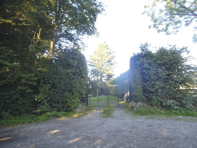
Moor Wood
Wood, Forest in Surrey Tandridge
England
Moor Wood
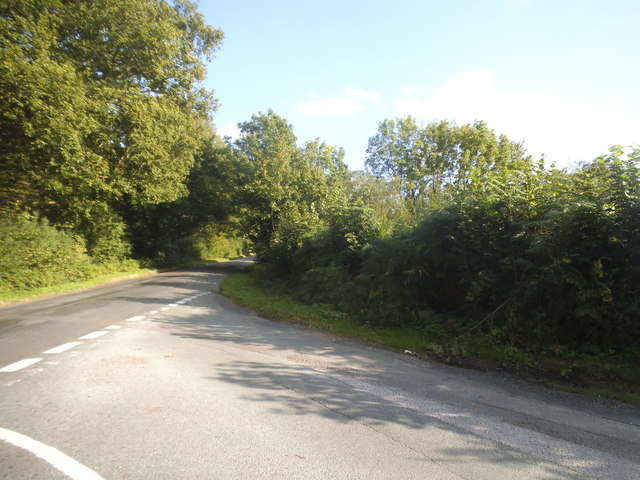
Moor Wood, located in the county of Surrey, England, is a picturesque woodland that covers an area of approximately 100 acres. It is a designated Site of Special Scientific Interest (SSSI) due to its rich biodiversity and ecological importance. The wood is situated within the larger Surrey Hills Area of Outstanding Natural Beauty, which further enhances its natural charm.
The woodland is primarily composed of native broadleaf trees, including oak, beech, and birch. The dense canopy provides a habitat for a wide range of flora and fauna, attracting nature enthusiasts and wildlife photographers alike. Bluebells carpet the forest floor in spring, creating a stunning display of color.
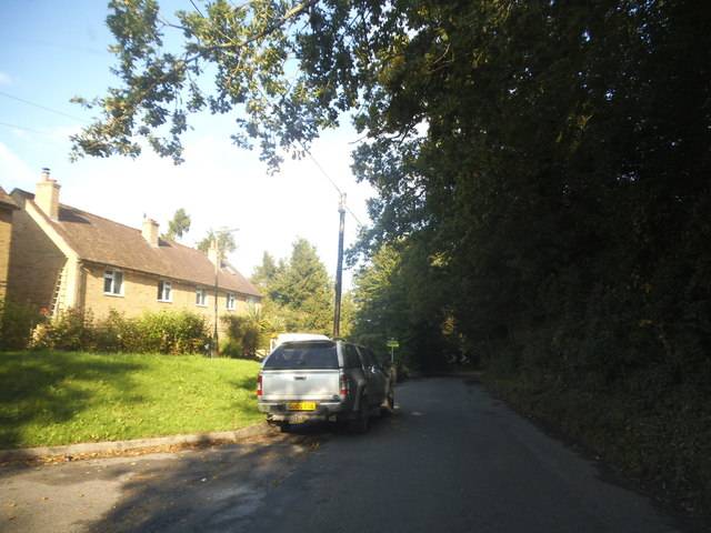
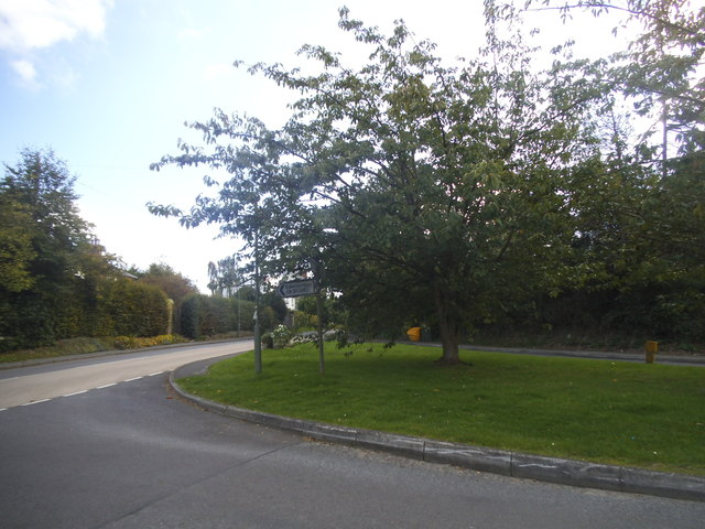
Moor Wood is crisscrossed by a network of footpaths and trails, allowing visitors to explore its serene surroundings. These paths lead to hidden glades, babbling brooks, and small ponds, adding to the enchanting ambiance of the wood. The tranquil atmosphere makes it an ideal location for walking, picnicking, and wildlife spotting.
The wood is also home to a variety of bird species, including woodpeckers, nightingales, and tawny owls. It is not uncommon to hear the melodic birdsong echoing through the trees as you meander along the woodland paths. Additionally, Moor Wood is inhabited by various mammals, such as deer, foxes, and badgers, which can occasionally be spotted by lucky visitors.
Overall, Moor Wood in Surrey is a captivating natural haven, offering a peaceful retreat from the hustle and bustle of everyday life. Its diverse ecosystem and scenic beauty make it a cherished destination for both locals and visitors seeking solace in nature.
If you have any feedback on the listing, please let us know in the comments section below.
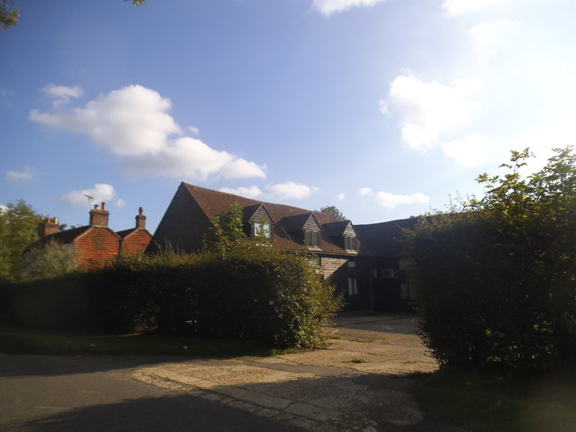
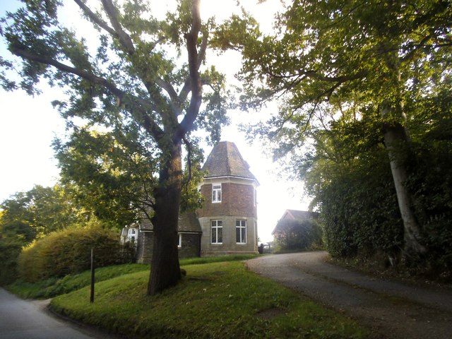
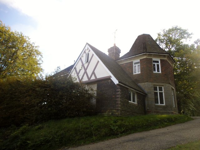
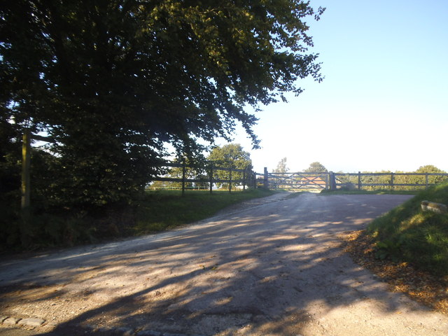
Moor Wood Images
Images are sourced within 2km of 51.161673/0.031143831 or Grid Reference TQ4242. Thanks to Geograph Open Source API. All images are credited.


Moor Wood is located at Grid Ref: TQ4242 (Lat: 51.161673, Lng: 0.031143831)
Administrative County: Surrey
District: Tandridge
Police Authority: Surrey
What 3 Words
///since.pirate.slows. Near Dormansland, Surrey
Nearby Locations
Related Wikis

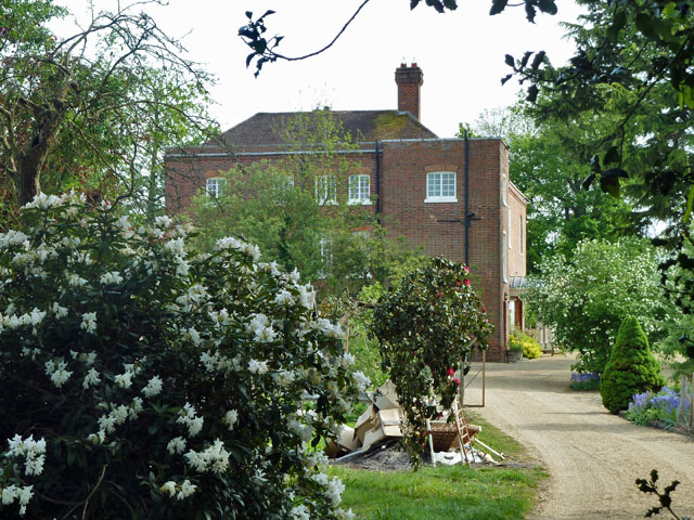
Greathed Manor
Greathed Manor, Dormansland, Surrey, is a Victorian country house. Designed by the architect Robert Kerr in 1862–8, it is a Grade II listed building....

Dormansland, Surrey
Dormansland is a large village and civil parish with a low population approximately one mile south of Lingfield in Surrey, England. It was founded in the...
Starborough Castle
Starborough Castle, known historically as Sterborough Castle, is a Neo-Gothic garden house of dressed sandstone near the eastern boundary of Surrey, built...

Lingfield College
Lingfield College is a private day school situated in Lingfield in the English county of Surrey, for pupils aged six months to eighteen years old. It was...

Dormans railway station
Dormans railway station is on the East Grinstead branch of the Oxted line in southern England and serves Dormansland and Dormans Park in Surrey. It is...

Marsh Green, Kent
Marsh Green is a small hamlet in Eden Vale, part of the parish of Edenbridge, England. The hamlet was founded in 1554 under its current name. Marsh Green...

Lingfield Park Racecourse
Lingfield Park Racecourse (commonly referred to as Lingfield) is a horse racing course at Lingfield in Surrey, United Kingdom. It is owned by the ARC Racing...

Sundridge with Ide Hill
Sundridge and Ide Hill is a civil parish in the Sevenoaks District of Kent, England. It is located in the Darenth valley and lies between Sevenoaks and...
Nearby Amenities
Located within 500m of 51.161673,0.031143831Have you been to Moor Wood?
Leave your review of Moor Wood below (or comments, questions and feedback).